
Quick report
- Cracking
- isolated
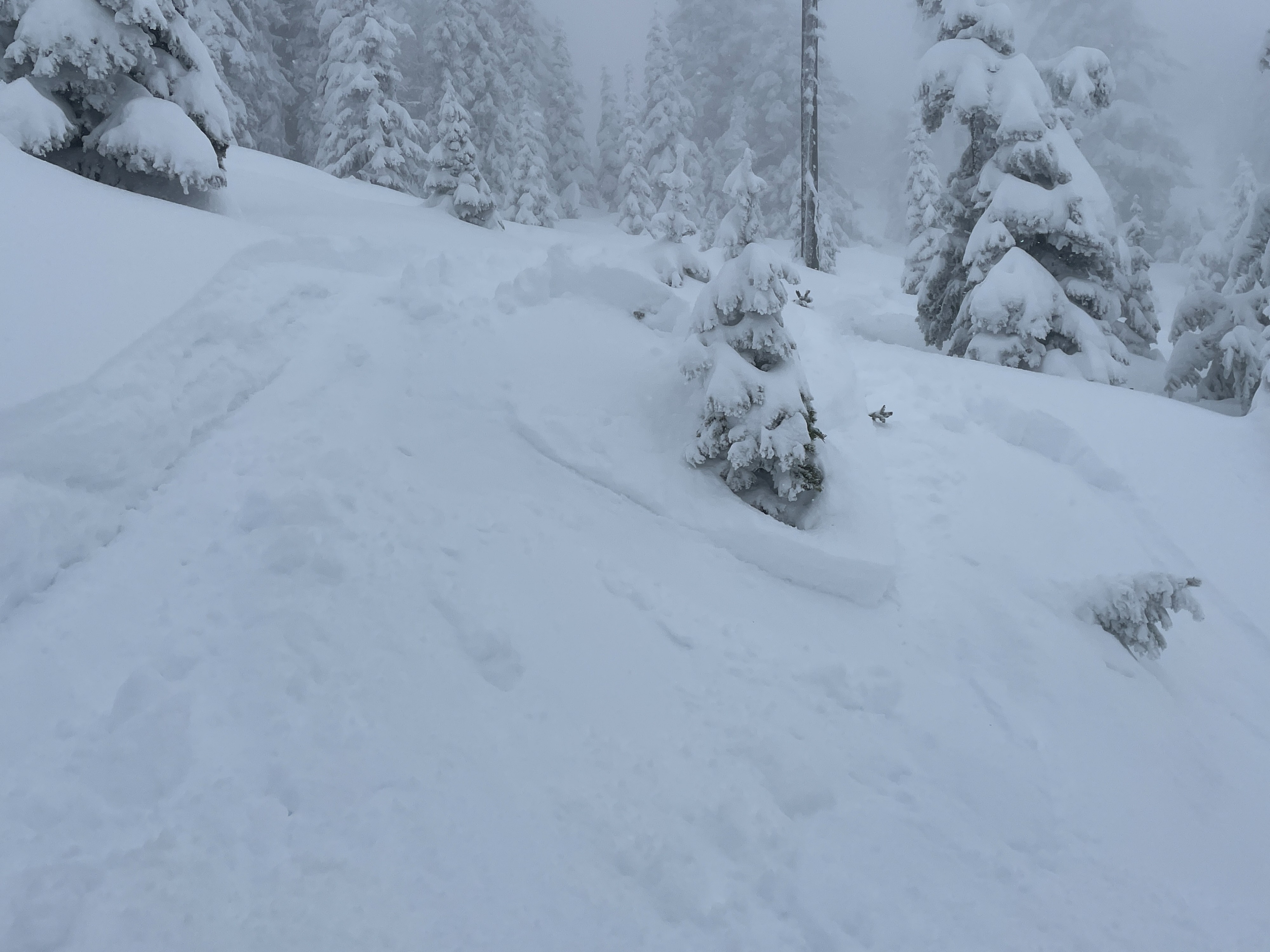
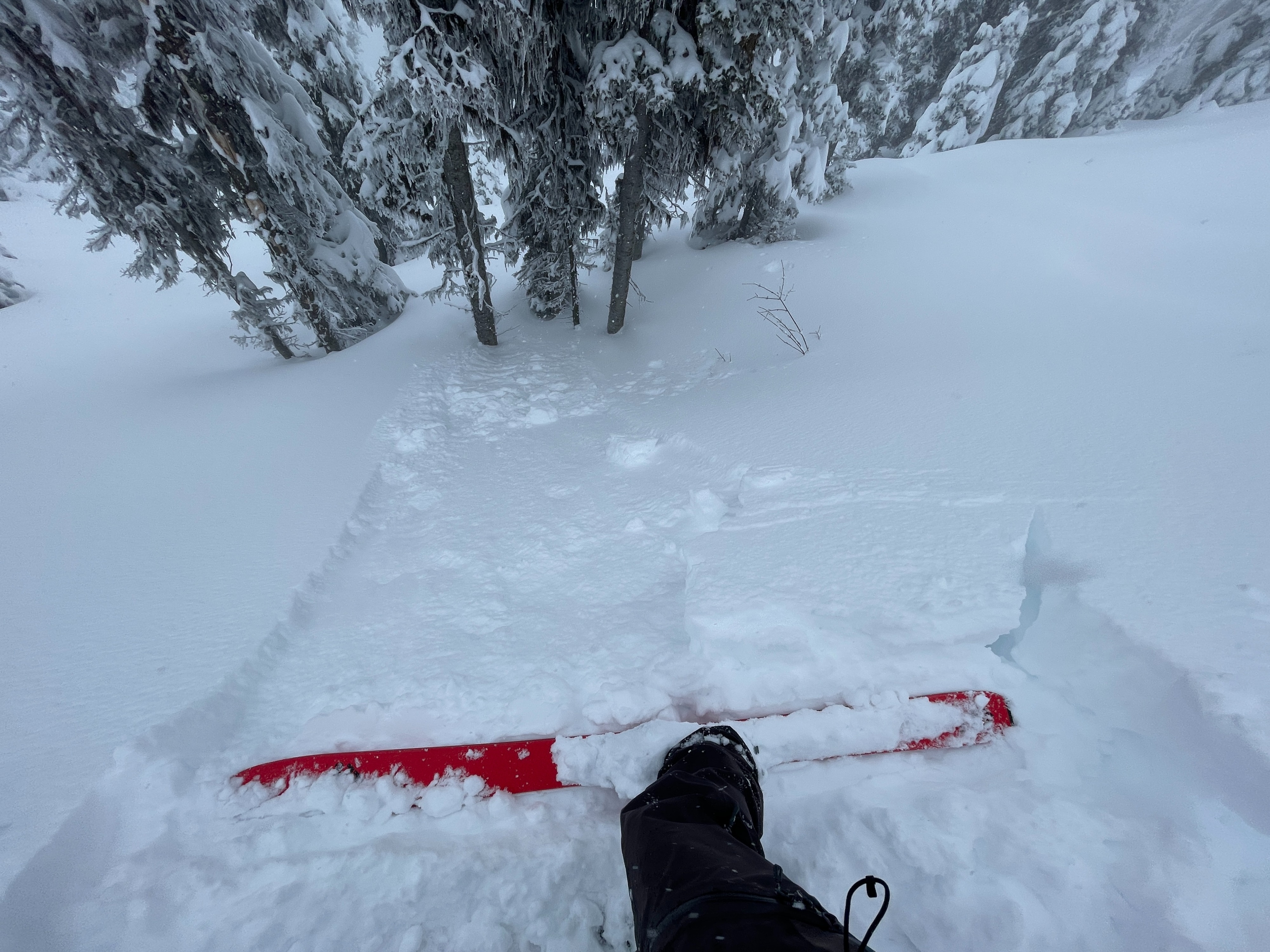
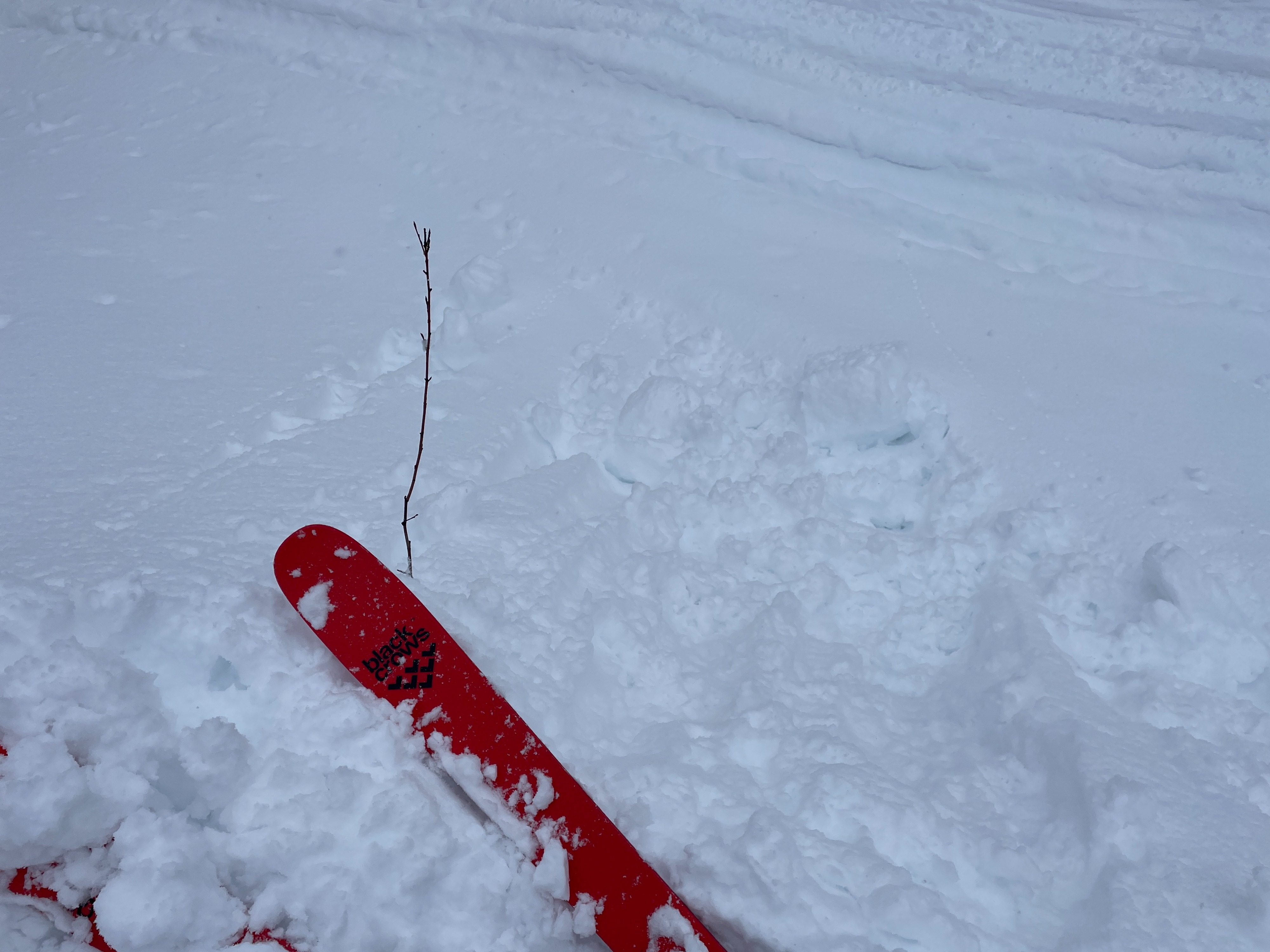
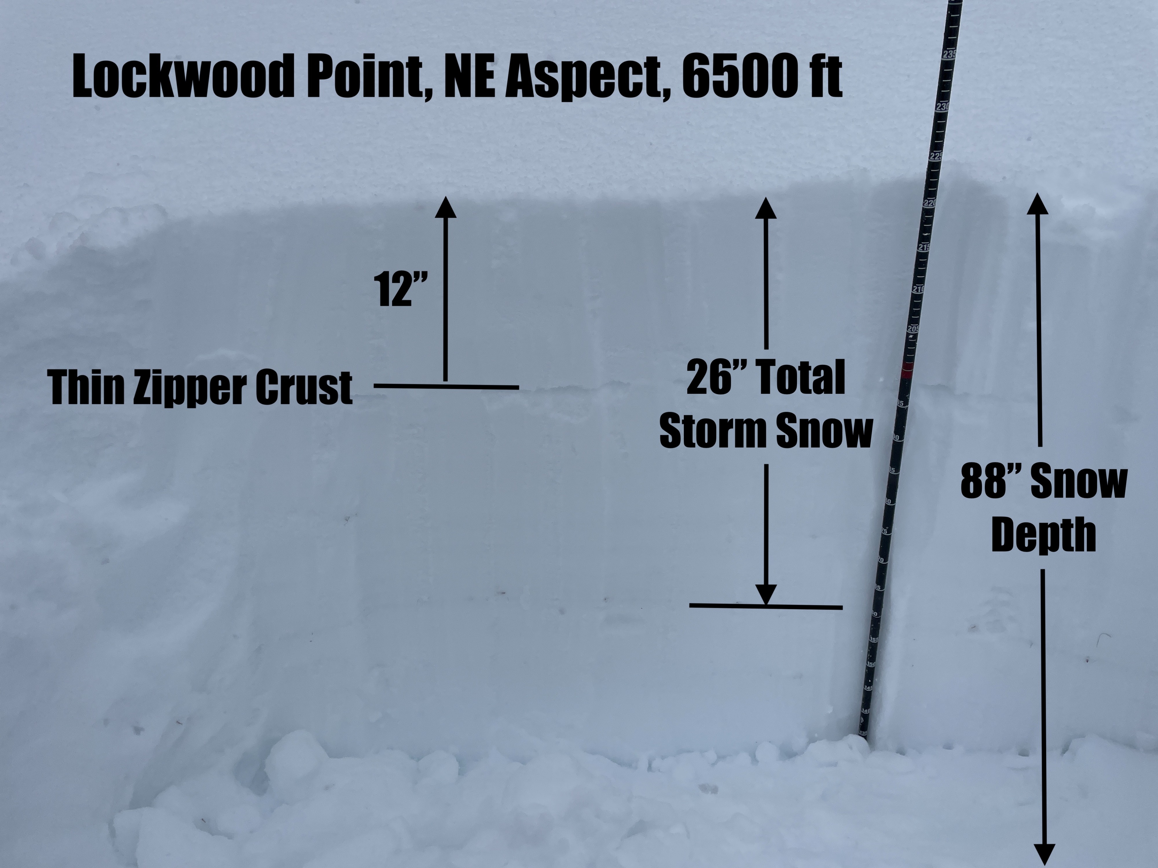
As of this afternoon around 2pm there was 26" of total storm snow. There was 12" of overnight snow resting on a thin rain/rime crust from yesterday afternoon. It snowed heavily all day and winds were generally light but moderate to strong at ridge top. We avoided avalanche terrain today but observed isolated cracking on small convexities and triggered one very small storm slab on a road cut. A snowpit on a northeast aspect at 6500 ft had sudden results in compression tests on medium taps in the storm snow and at the new/old interface, but there were no propagating results in extended column tests. Overall conditions felt less touchy than anticipated, however, I suspect that upper elevations exposed to more wind would be much more sensitive.
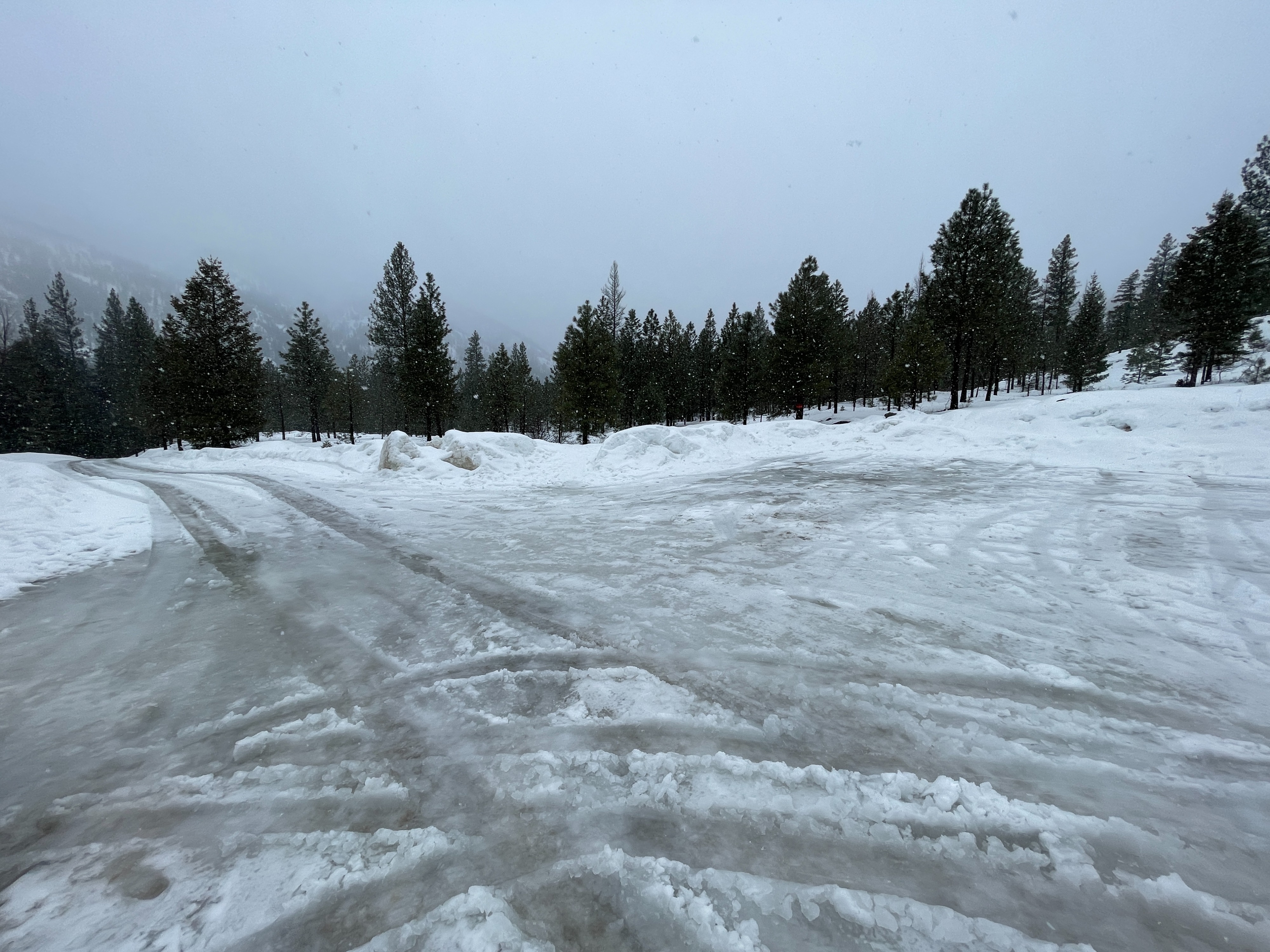
The rain line was at 4500 ft in the afternoon and the snow was very wet at lower elevations. We easily triggered rollerballs and small wet loose slides on road cuts below 5000 ft.
Weather
- Air Temp
- 28
- Cloud Cover
- overcast
- Wind Loading
- light
- Rain Elevation
- 4500 ft
- Recent Snowfall
- 26"
- Snow Avail For Transport
- large amounts
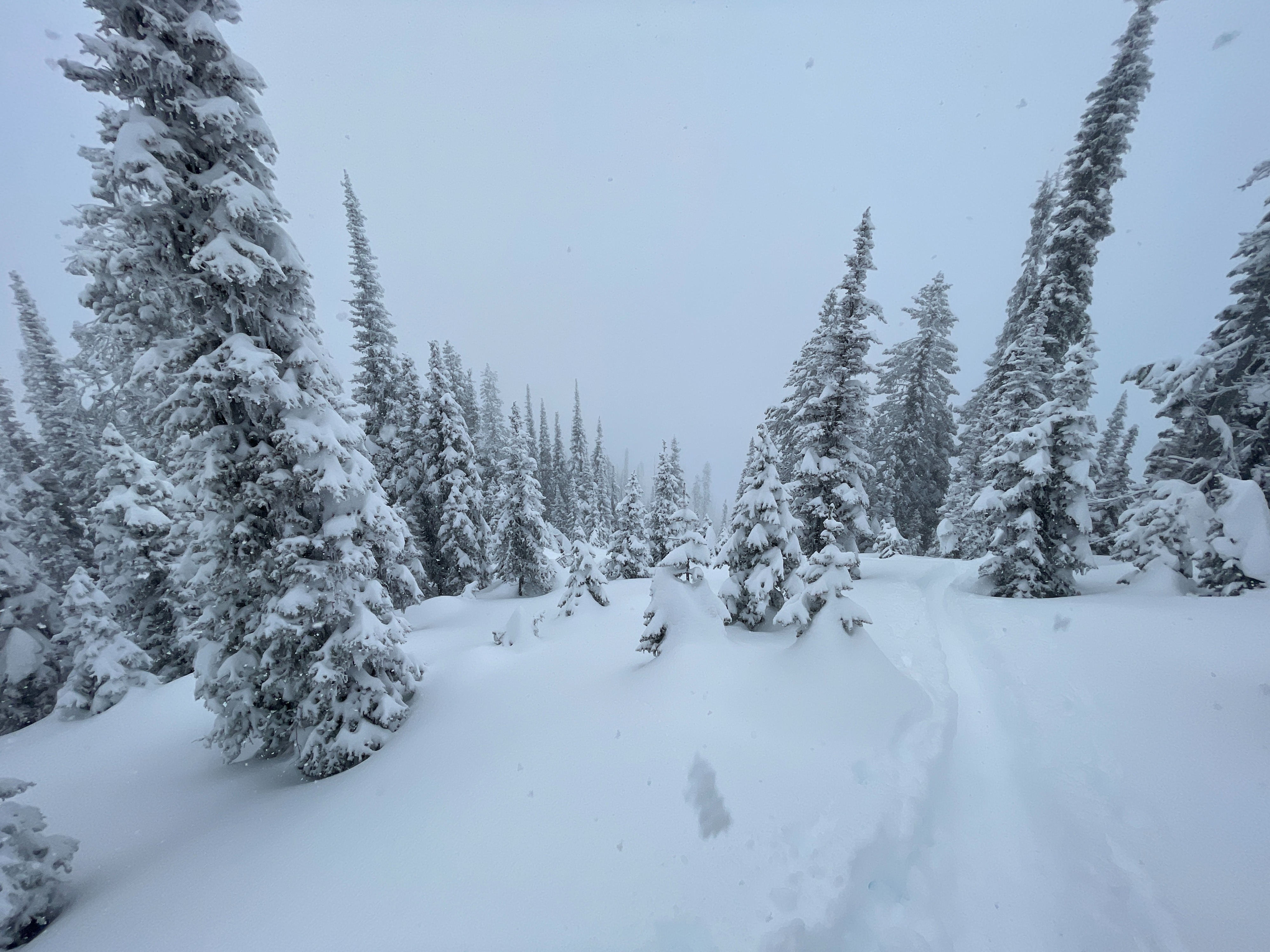
Heavy snow fell most of the day. Winds were light except at ridge top where they were moderate occasionally gusting to strong. Temperatures were warm - above freezing at the trailhead and just below freezing up at Lockwood. In the late afternoon, it was raining up to 4500 ft.