
Quick report
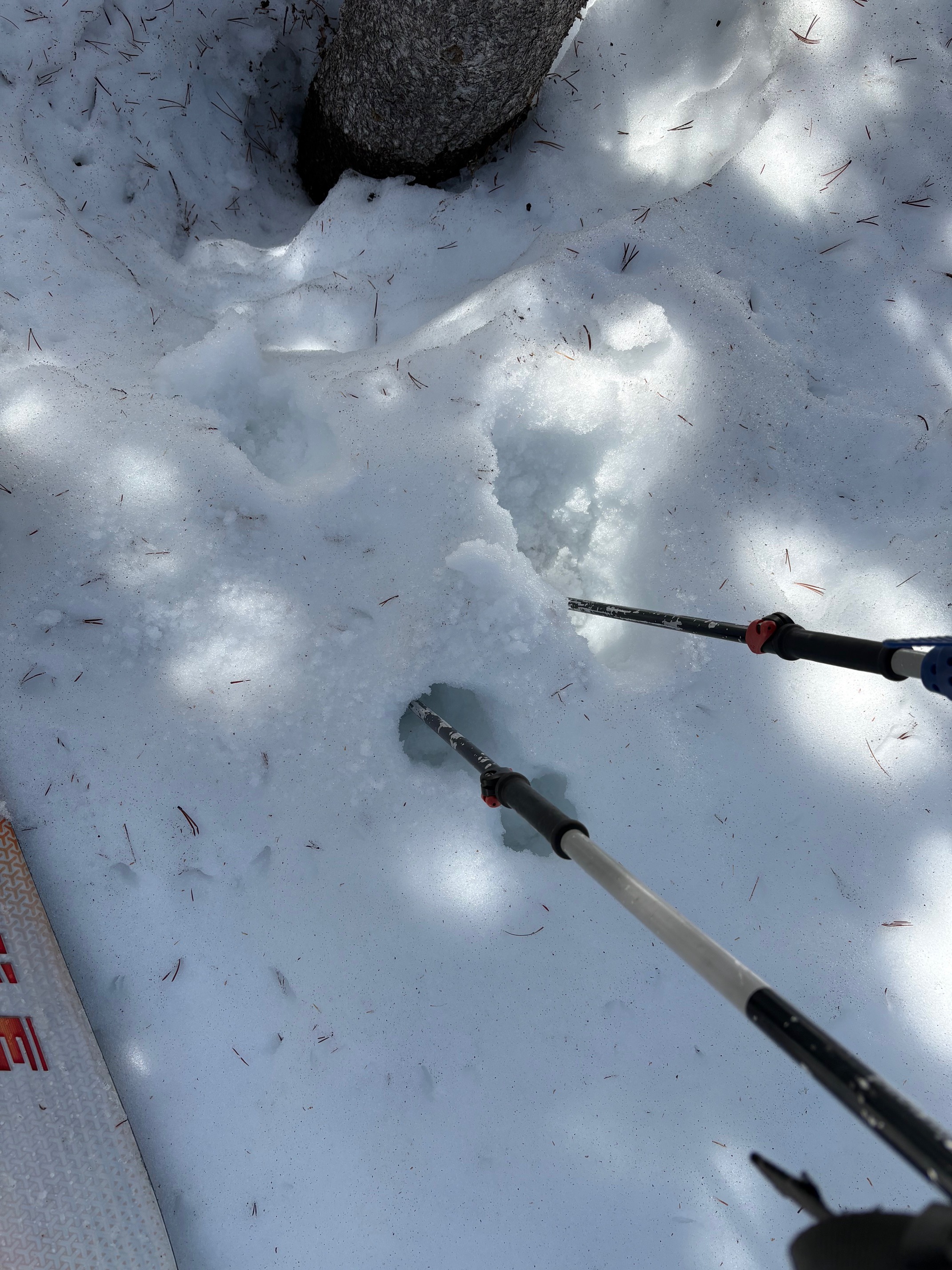
We toured on Tamarack Peak this morning, sampling NE-E-SE aspect terrain. Last night's snow surface freeze was decent on open slopes and very weak to non-existent under forest canopy. On open slopes the top 5 inches of the snowpack had refrozen at P- hardness. This is consistent with an overnight snow surface refreeze entirely reliant on radiational cooling of the snowpack under clear skies. The minimum low air temperature last night on the nearby Slide Mtn weather station (9,650') was 45 deg F.
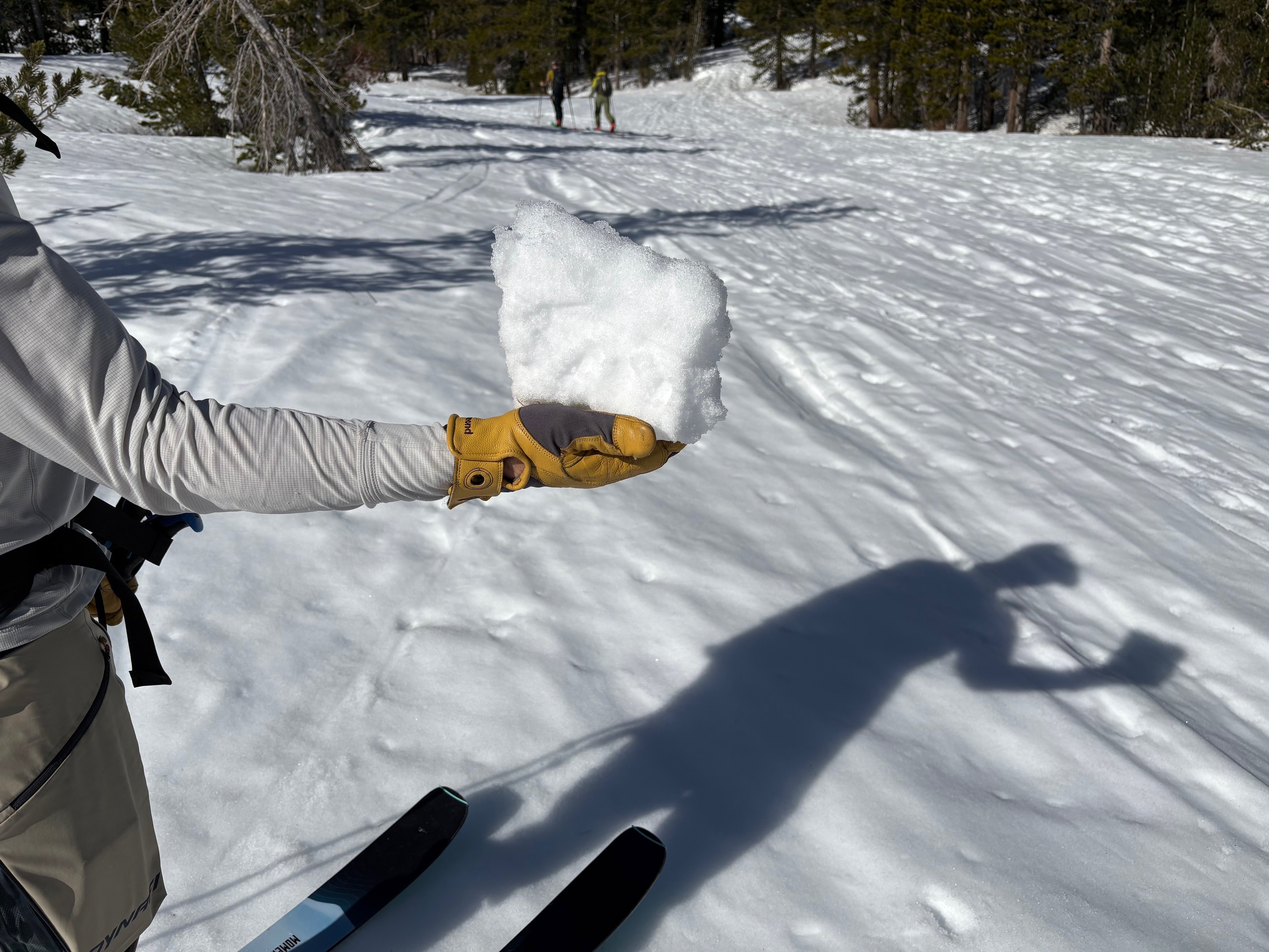
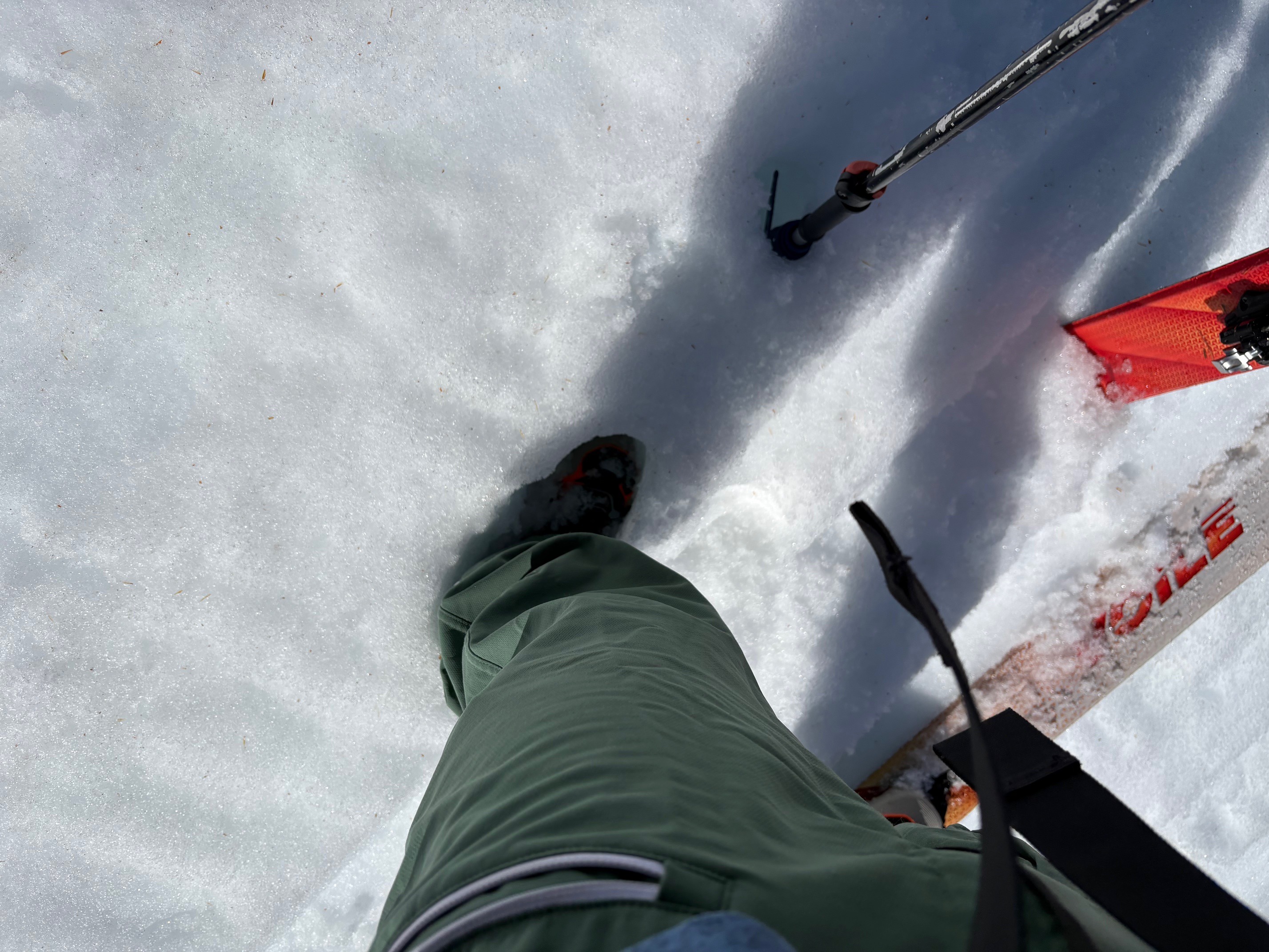
With air temperatures well above freezing at sunrise, the snow surface melted quickly on E to SE aspect terrain. By 10:30 am, the snow surface held 2 to 3 inches of surface wet snow with 4F harness remains of last night's melt-freeze crust below it. By this time boot penetration had become nearly boot-top-deep at 9,870' on E aspect terrain. At the same time NE aspects were still much firmer and still frozen with less than 1/2 inch of surface wet snow on top of firm crust. By 11:15 am, some of the lower angle NE aspect terrain below 9,000' had become a bit softer but remained very supportable.
The daily surface melt rates remain much slower on NE aspect terrain as compared to E aspect terrain.
Weather
- Air Temp
- 54
- Cloud Cover
- clear
- Snow Avail For Transport
- none
Mostly calm conditions with the occasional light breeze on the ridgetops.