
Quick report
- Cracking
- isolated
- Collapsing
- isolated
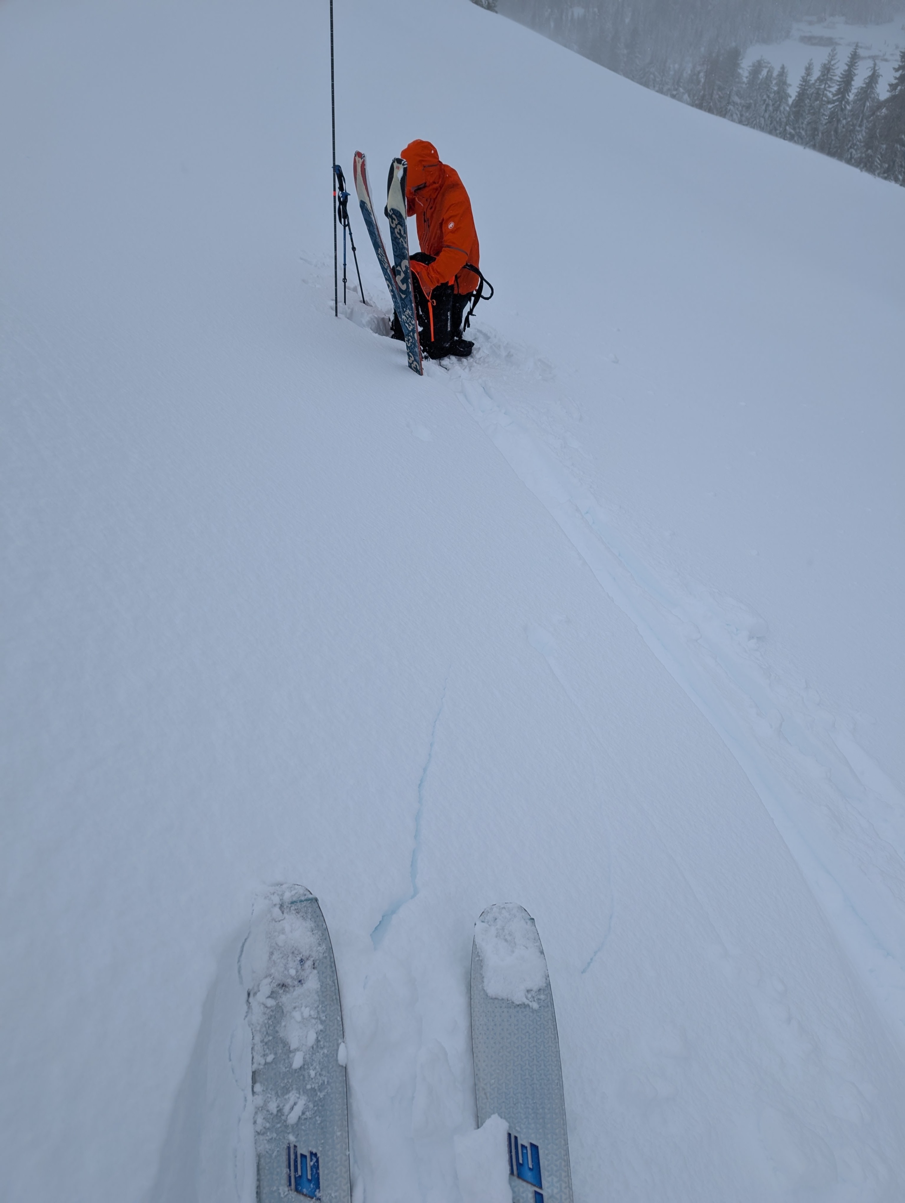
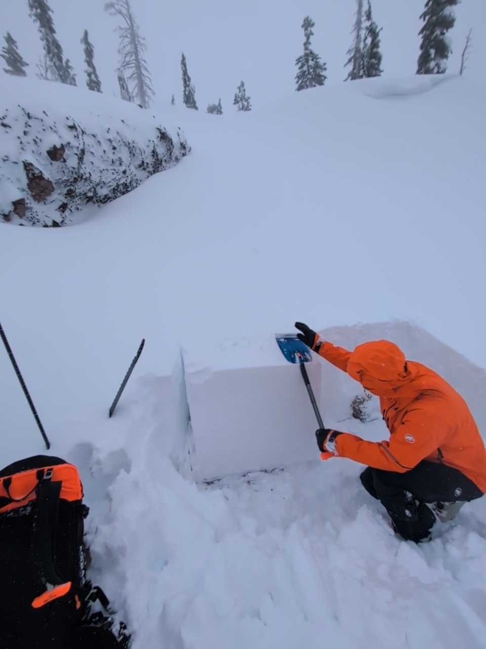
We toured portions of the Castle Peak area today with the intention of assessing instability associated with new snow loading onto weaker, faceted old snow near the base of the snowpack. The weakest snow observed prior to this storm was above 8,000' on NW-N-NE aspect terrain NTL and BTL, so we targeted NNW to NW NTL near 8,250'. Where we found over a foot of old snow near the base of the snowpack we encountered signs of instability in the form of a isolated snowpack collapse of an area about 30 feet in diameter and unstable snowpit test results. Where we found only a few inches of old snow below the new snow, the snowpack was stronger.
Wind slab formation was minor with good bonding within the storm snow. We saw one area where a natural cornice collapse had occurred without triggering wind slab failure. We noted short cracking up to two feet long in shallow wind slabs less than 6 inches thick, but only on undercut slopes.
New snow amounts on Donner Summit exceeded our expectations with around 16-24 inches of new snow. The total snowpack depth in this area was around 2 to 3 feet today and ski supportable. Rain on snow wetted the snow surface. Persistent slab avalanche potential associated with failure of faceted old snow below all the storm snow presented as the major hazard.
Minor wind slab instability. One isolated collapse on deeper weak layer and unstable snowpit test results in an area that held about of foot of faceted snow at the base of the snowpack.Weather
- Air Temp
- 31
- Cloud Cover
- overcast
- Wind Loading
- moderate
- Rain Elevation
- 8250'+
- Recent Snowfall
- 55
- Snow Avail For Transport
- small smounts
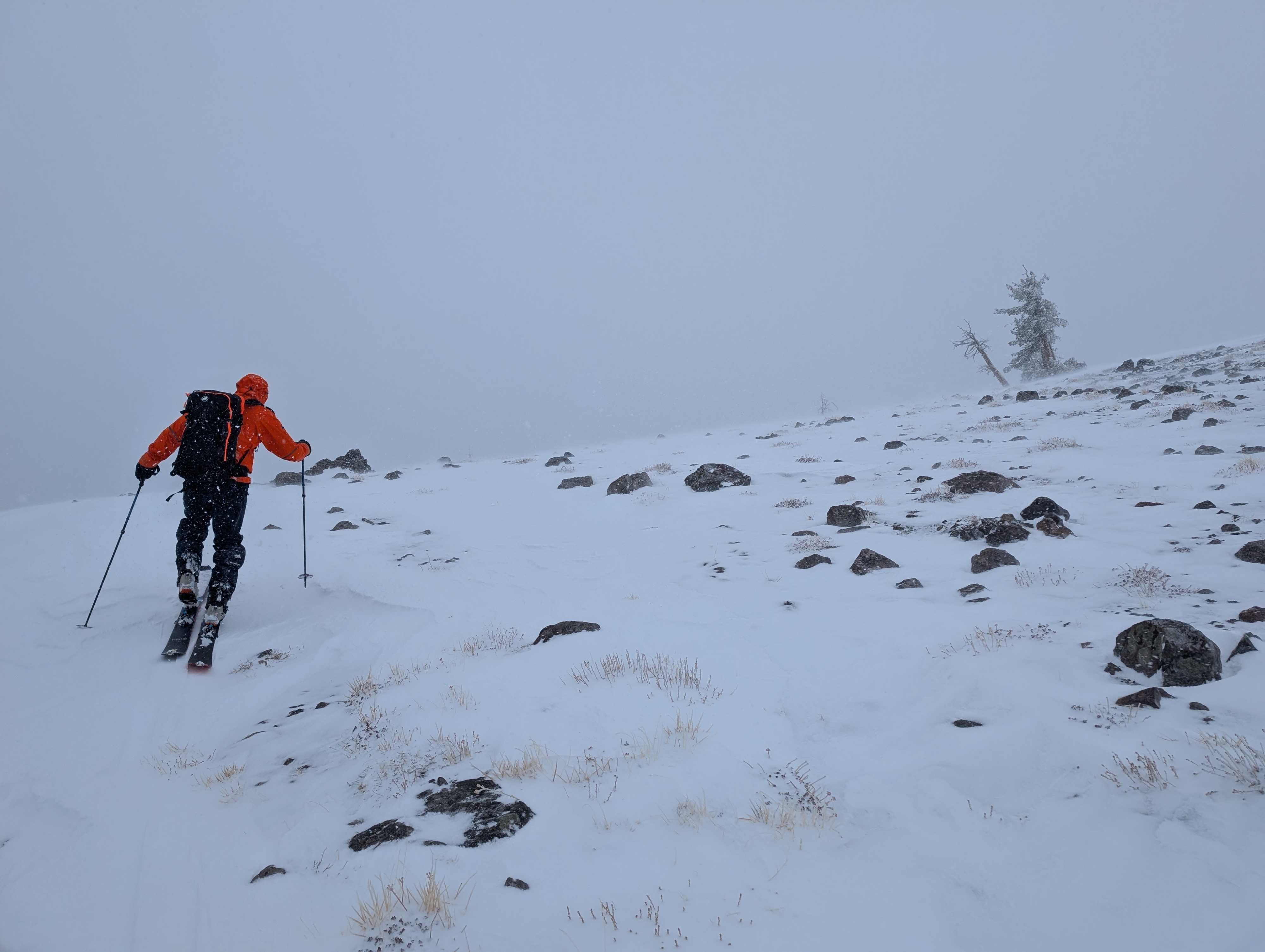
At 9 am we hit the rain/snow line at 6,800'-7,000' on our drive up Donner Summit. We remained in snowfall until about 1:15 pm when rising snow level caught up to us at our highpoint of travel of 8,250'. It continued to rain for the remainder of our tour.
Snowpack
Significant new snow load of 55 cm from 2.3 inches of SWE onto the existing snowpack. We dug pits in two locations ~8,200'. One was NTL, NNW aspect with HS 88cm and only 12 cm of moist facets at the bottom of the snowpack. Here we got ECTX results and decided to move on. We dug a second snowpit (attached profile) with HS 110 cm and 53 cm of layered old snow on the ground. In this location, old snow facets were much less developed that what has been observed in other areas, but we still had unstable snowpit test results with ECTP results in faceted snow below the Nov 18 rain crust.