
Quick report
- Cracking
- specific
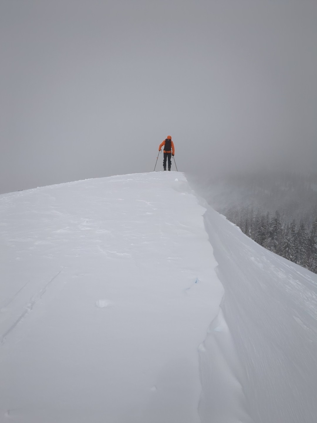
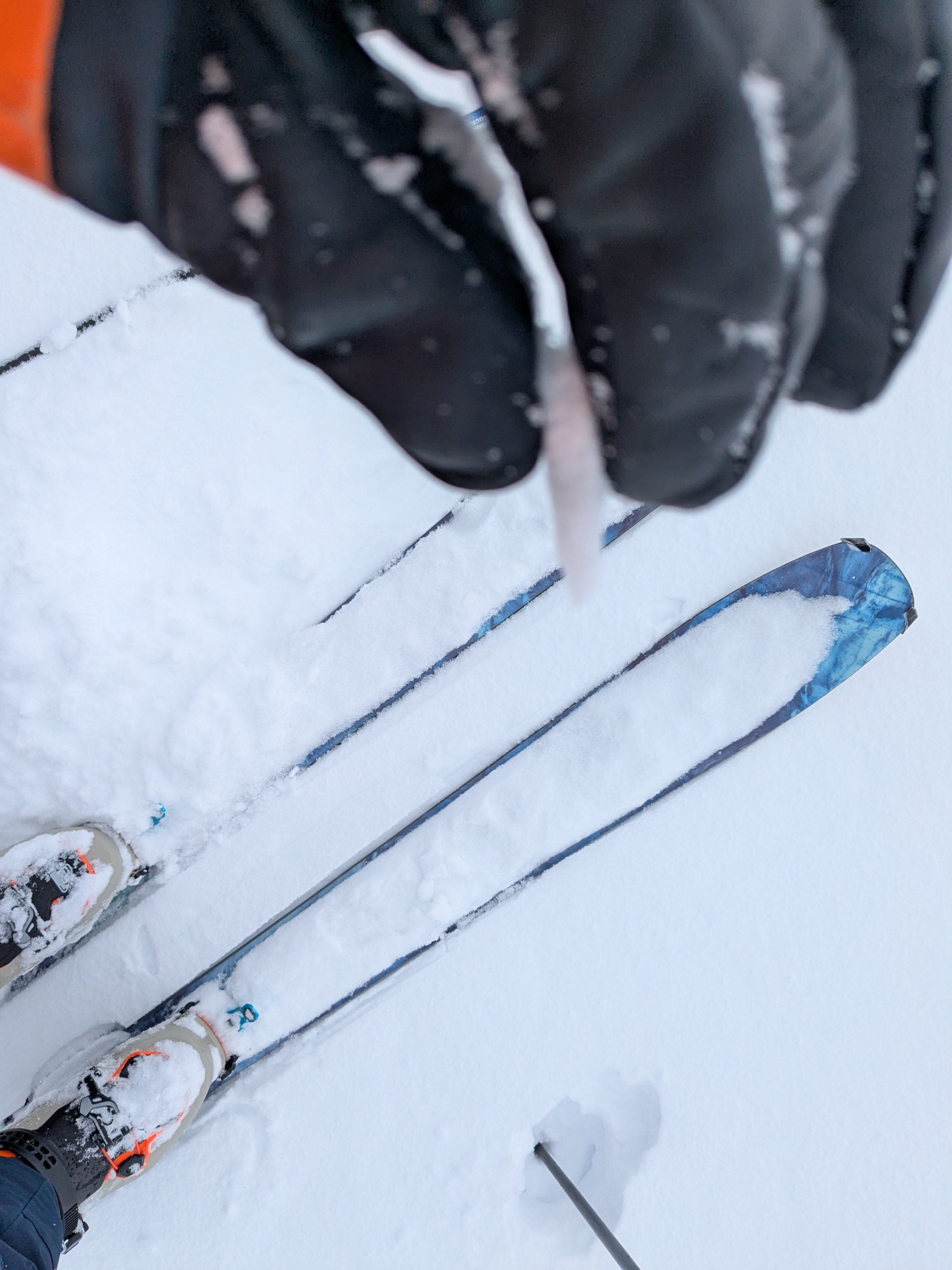
We went for a midday tour on Andesite Peak. Air temperatures were below average at low to mid 20s. We encountered 2 to 5 inches of new snow (elevation dependent) on top of a thin but mostly supportable rain crust. The rain crust from last night's snow to rain to snow event thinned gradually with elevation but was still present at 1 to 2 mm thick at the 8,200' summit.
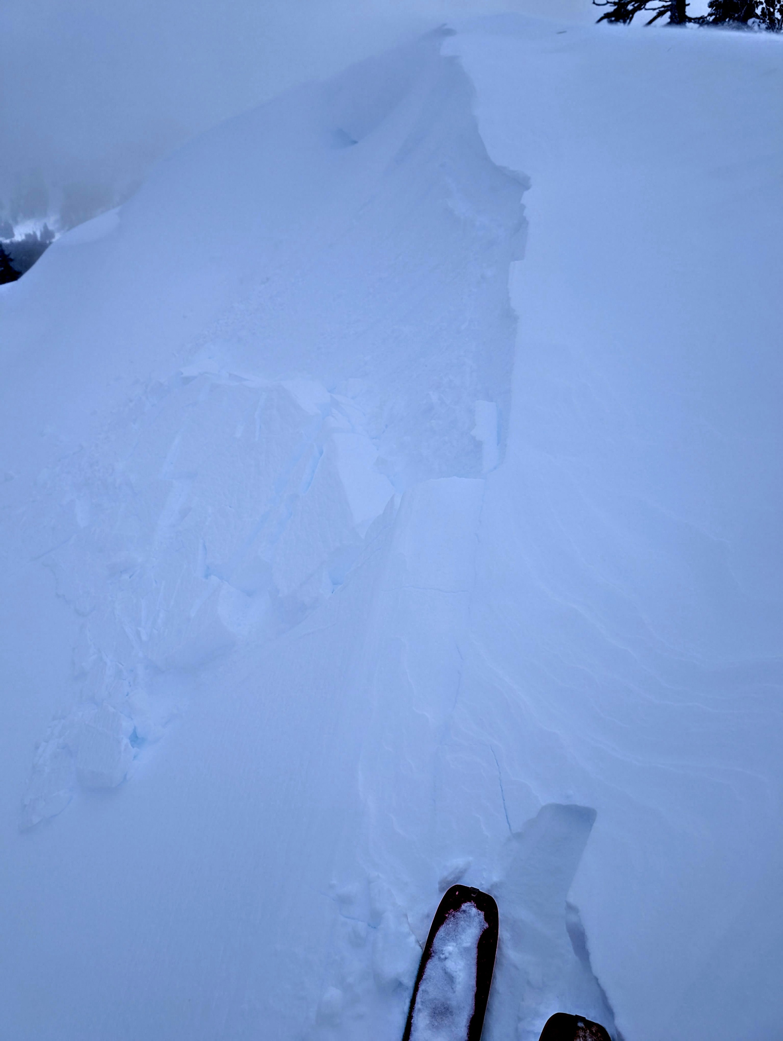
Ridgetop winds were moderate speed out of the SW with ongoing blowing snow and light amounts of wind loading. On E to ENE aspect test slopes that were either at or above treeline, we were able to create wind slab failures up to 8 inches deep.
Wet slab avalanches from rain on snow last night observed in terrain adjacent to I-80 on the east side of Donner Summit. We were able to trigger some cracking and wind slab failure on test slopes near the summit of Andesite Peak.Weather
- Cloud Cover
- broken
- Wind Loading
- light
- Rain Elevation
- Around 8,400' last night
- Recent Snowfall
- 10
- Snow Avail For Transport
- moderate amounts
Off and on snow showers with some graupel. Snowfall rate less than S1.