
Quick report
- Collapsing
- isolated
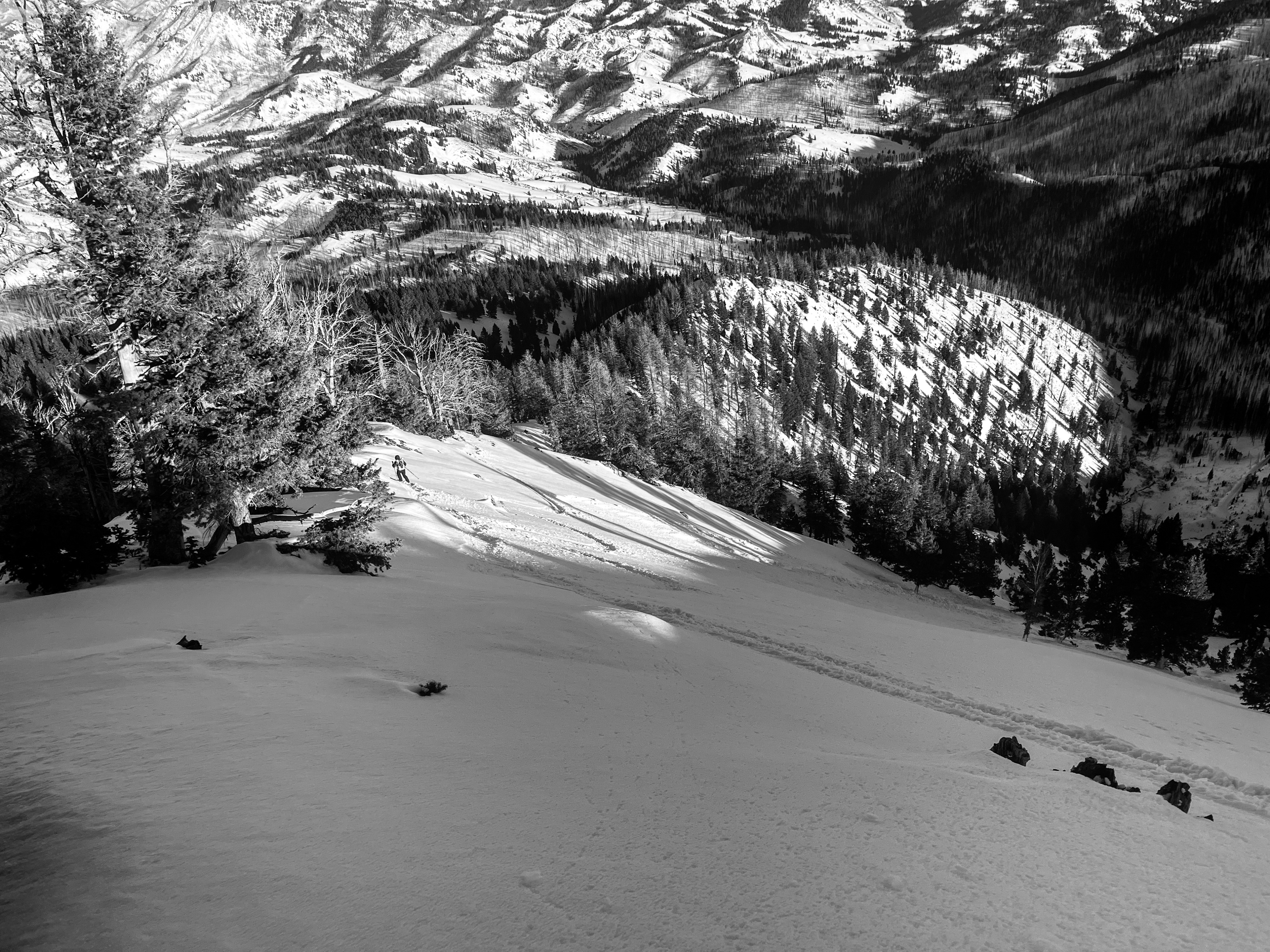
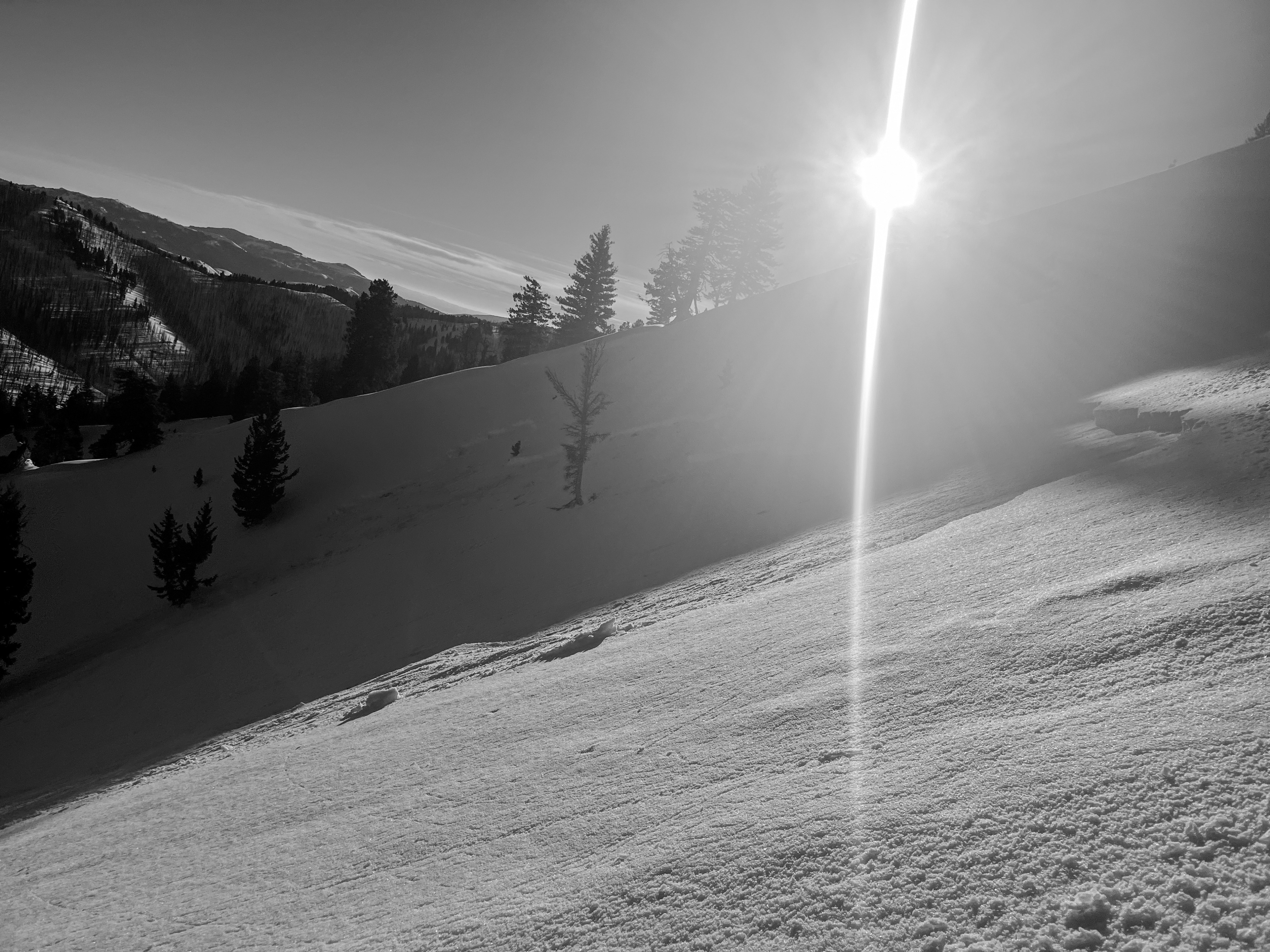
The abnormally fragile and widespread weak snow layer formed during our December drought is buried under a dense 30-50 cm thick slab. Meltwater reached this layer on sunnier slopes and produced numerous wet slab avalanches here in the last 48-hrs. On shadier slopes, this layer remained dry. Expect the danger to rise as an incoming storm Thursday-Friday adds stress to this weak layer and builds fresh slabs at the surface.
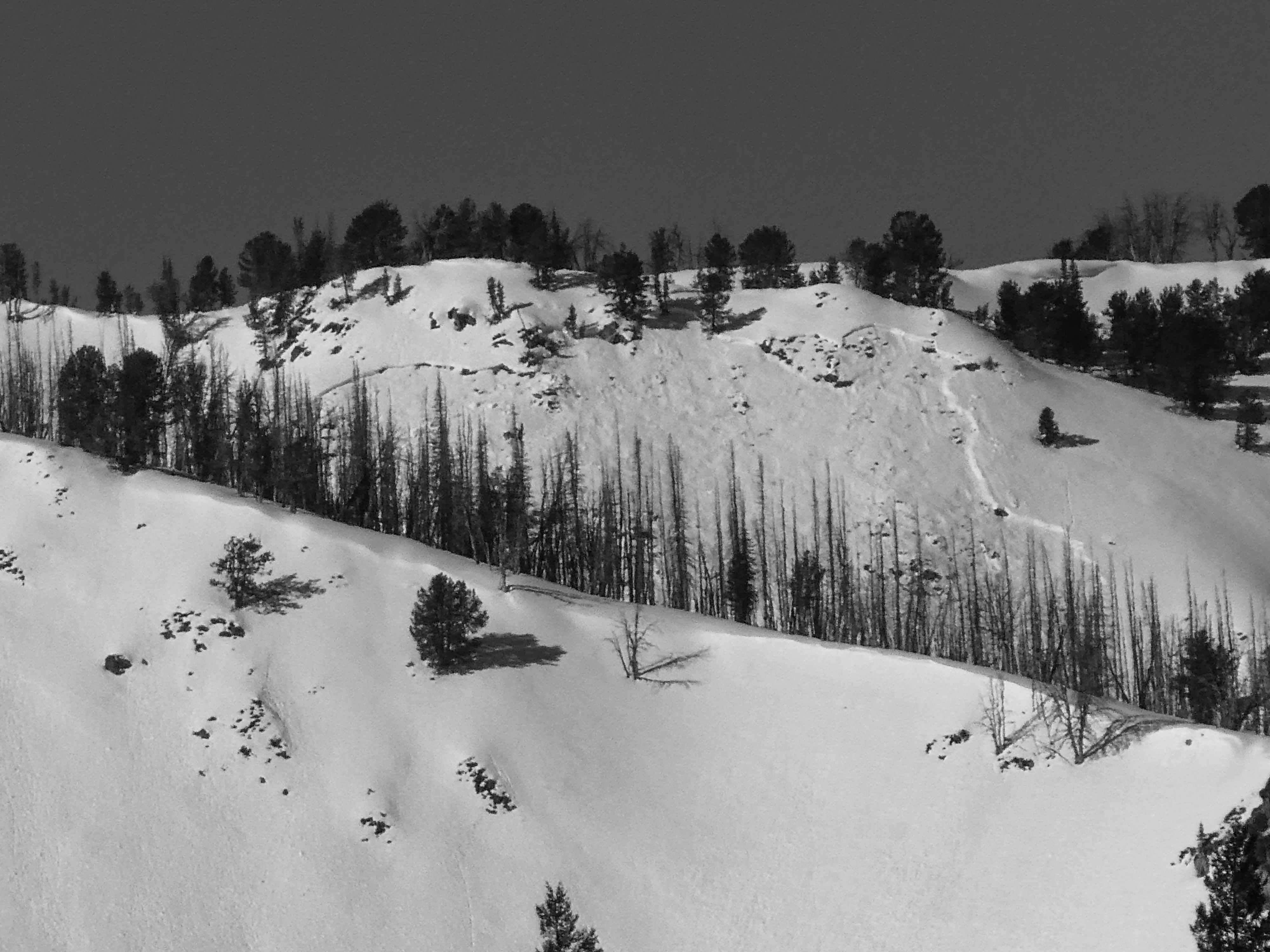
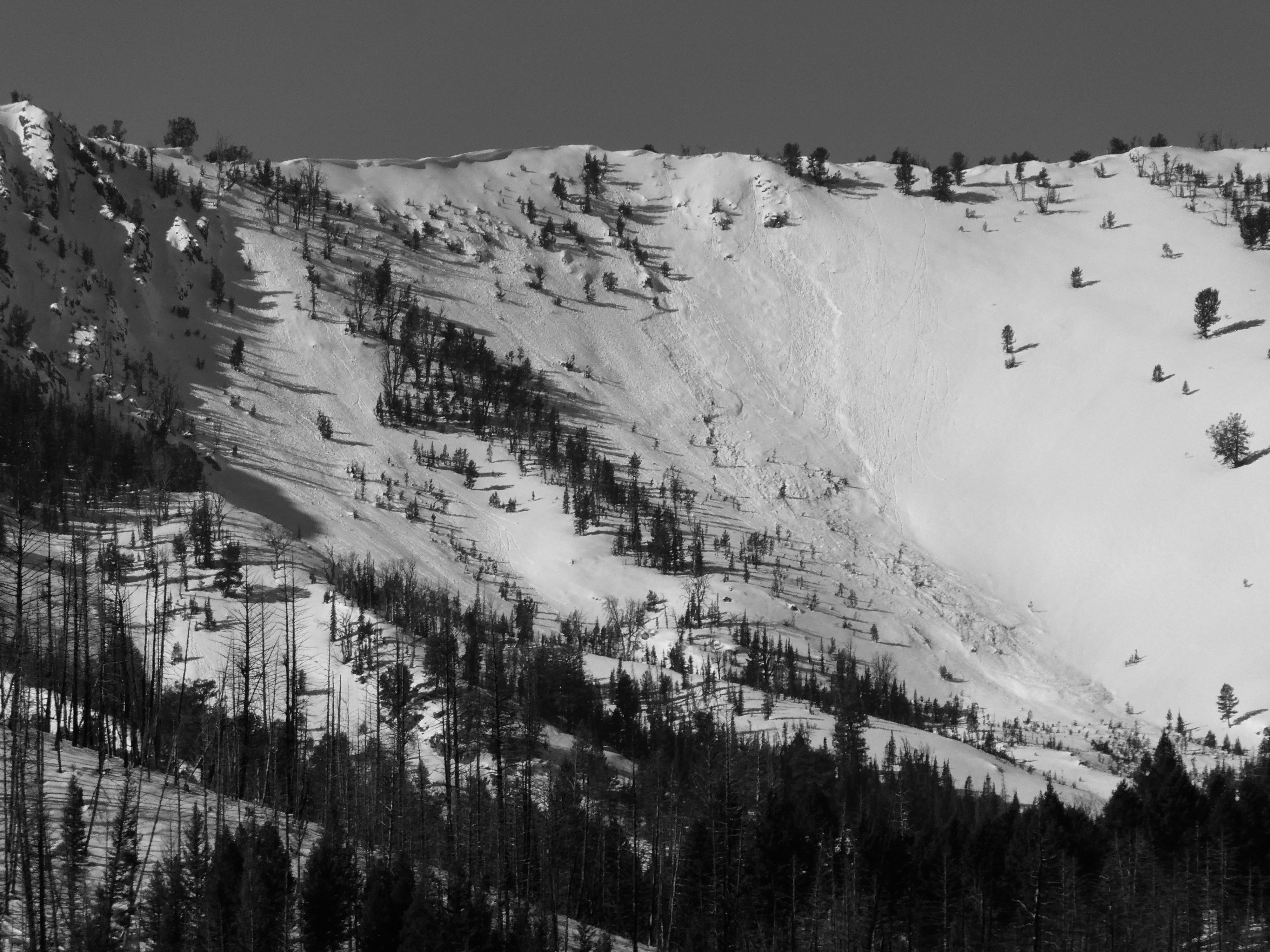
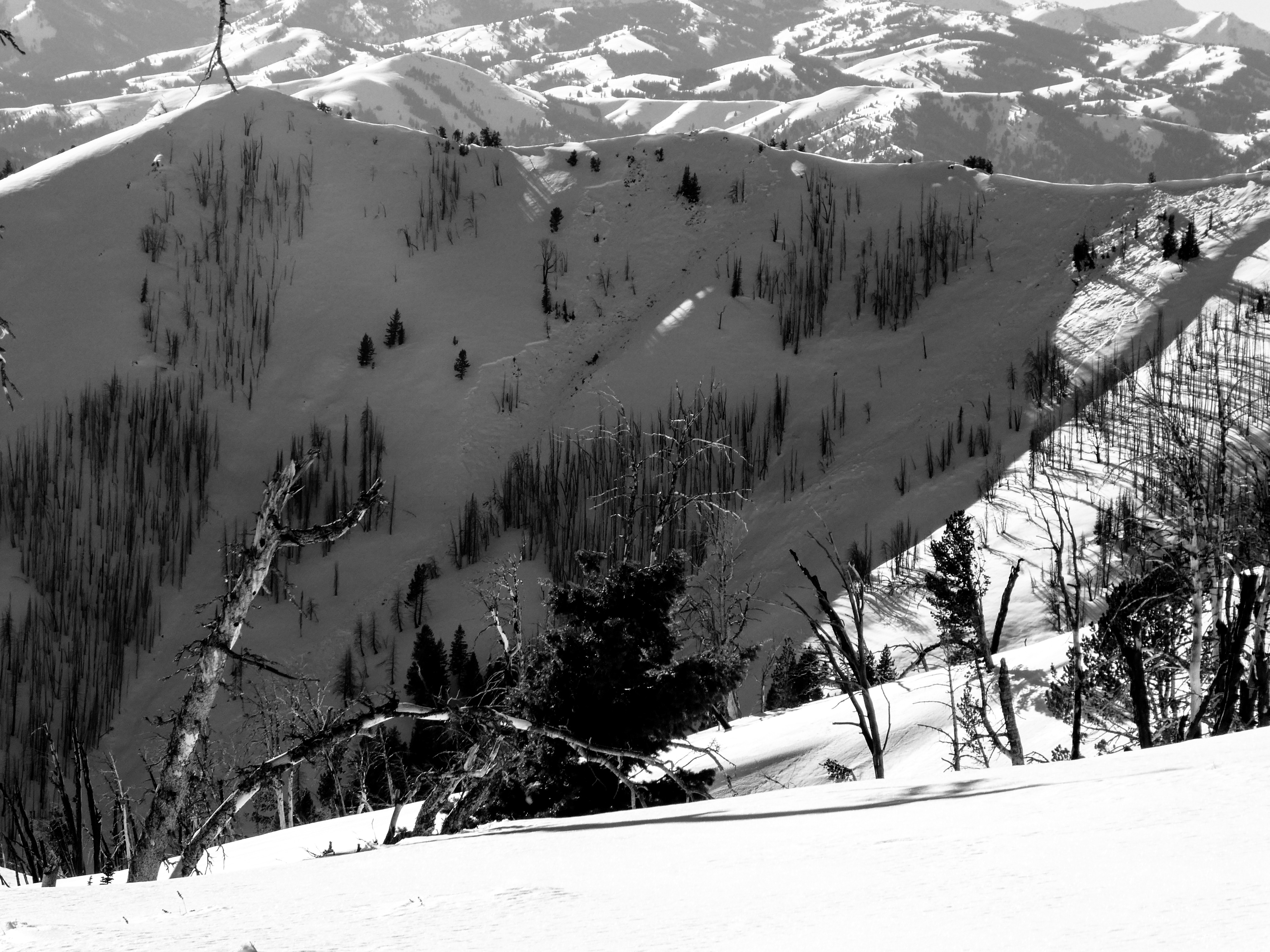
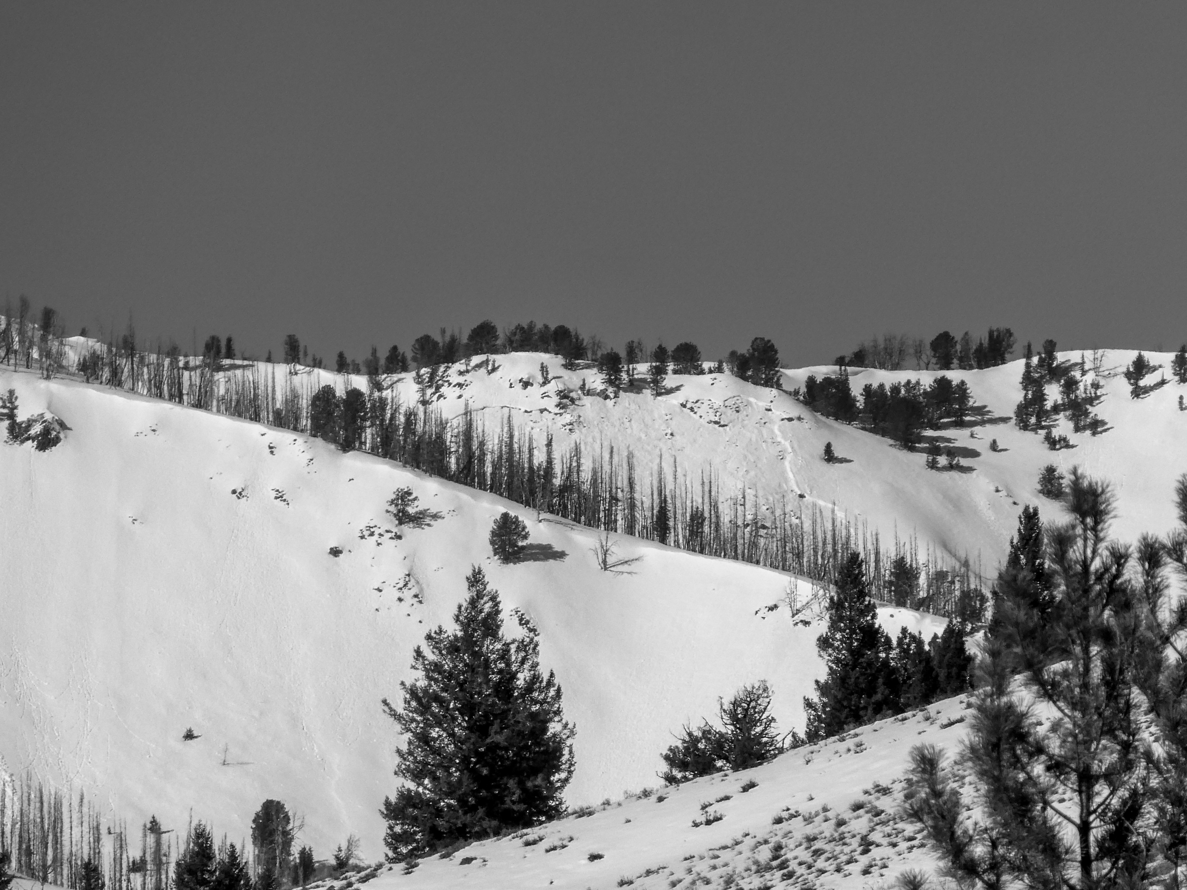
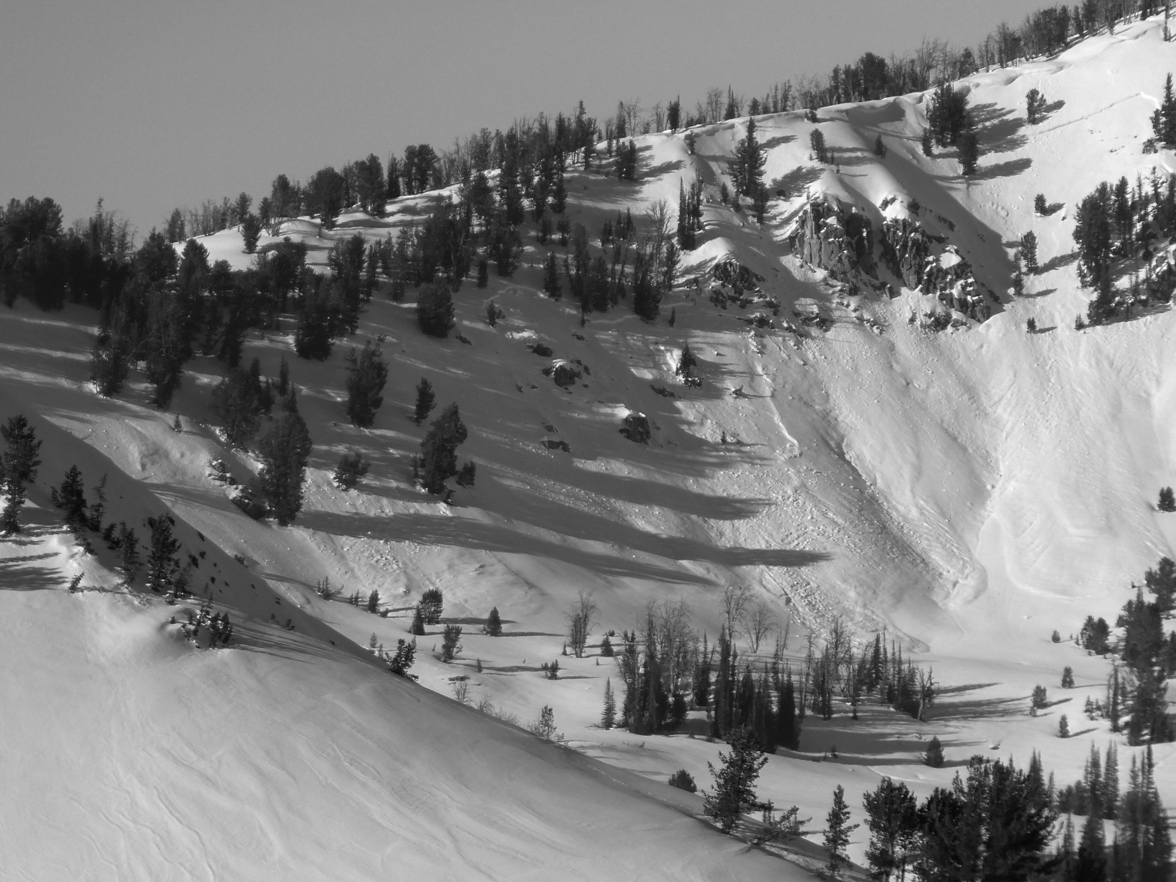
Two large wet slabs above Packer Gulch. One skier triggered D2 Wet Slab on Shaw. A few large wet slabs from the previous 48-hrs in/near Placer Ck drainages.Weather
- Air Temp
- 35-40 F
- Cloud Cover
- few
- Wind Loading
- none
- Rain Elevation
- Previous rain crust to near or above 9,500'
- Recent Snowfall
- 0
- Snow Avail For Transport
- small smounts
Mostly clear. Hot. Light or low-end Moderate S/SE wind at the summit.
Snowpack
(1/6): The snowpack was moist or wet to the ground on sunnier slopes up to at least 8,600' by the afternoon. However, this changed quickly wrapping to more shaded slopes, where the obvious effects of recent meltwater were much shallower. The (1/6) layer remained dry on the shaded slopes where we looked, including at low elevations.
Surfaces: Our new (2/1) interface will include widespread rain and sun crusts with associated small facets. Shaded slopes above tomorrow's rainline will bury ~5 mm surface hoar. A fresh batch of small surface hoar may also form tonight before burial tomorrow, spreading this to sunnier aspects again.
______________
NE @ 8,000', HS = 90 cm:
Sfc = 1.5-2 cm rain crust, no SH. Snowpack tests returned ECTP23 and ECTP27 on (1/6) down 55 cm on large, dry FC. Slab hardness was 4F near the surface (around a couple of crusts), quickly stiffening to 1F.
Avalanche
- Size
- D2
- Type
- WS
- Count
- 4
- Aspect
- E
- Trigger
- N
- Elevation
- 9580 ft