
Quick report
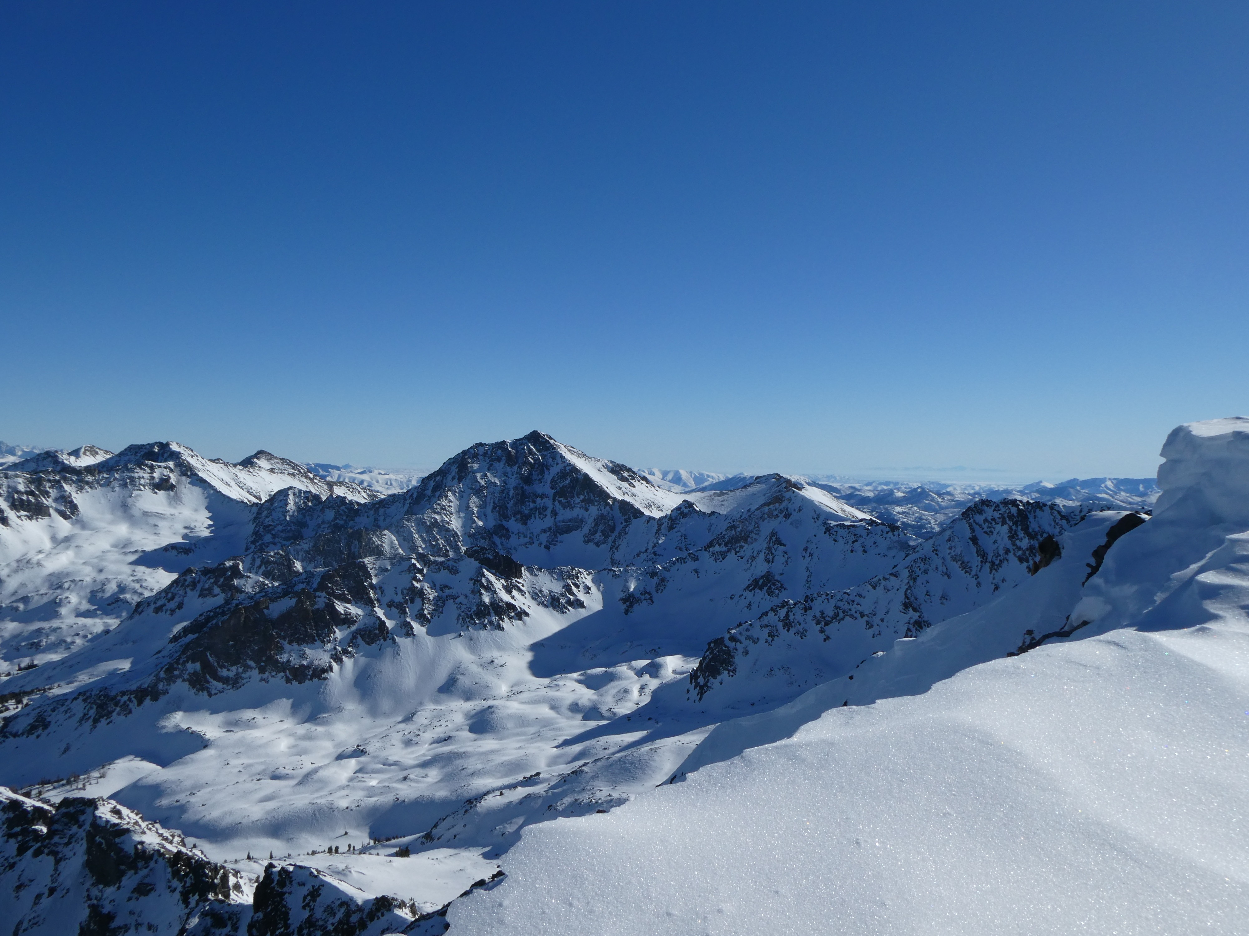
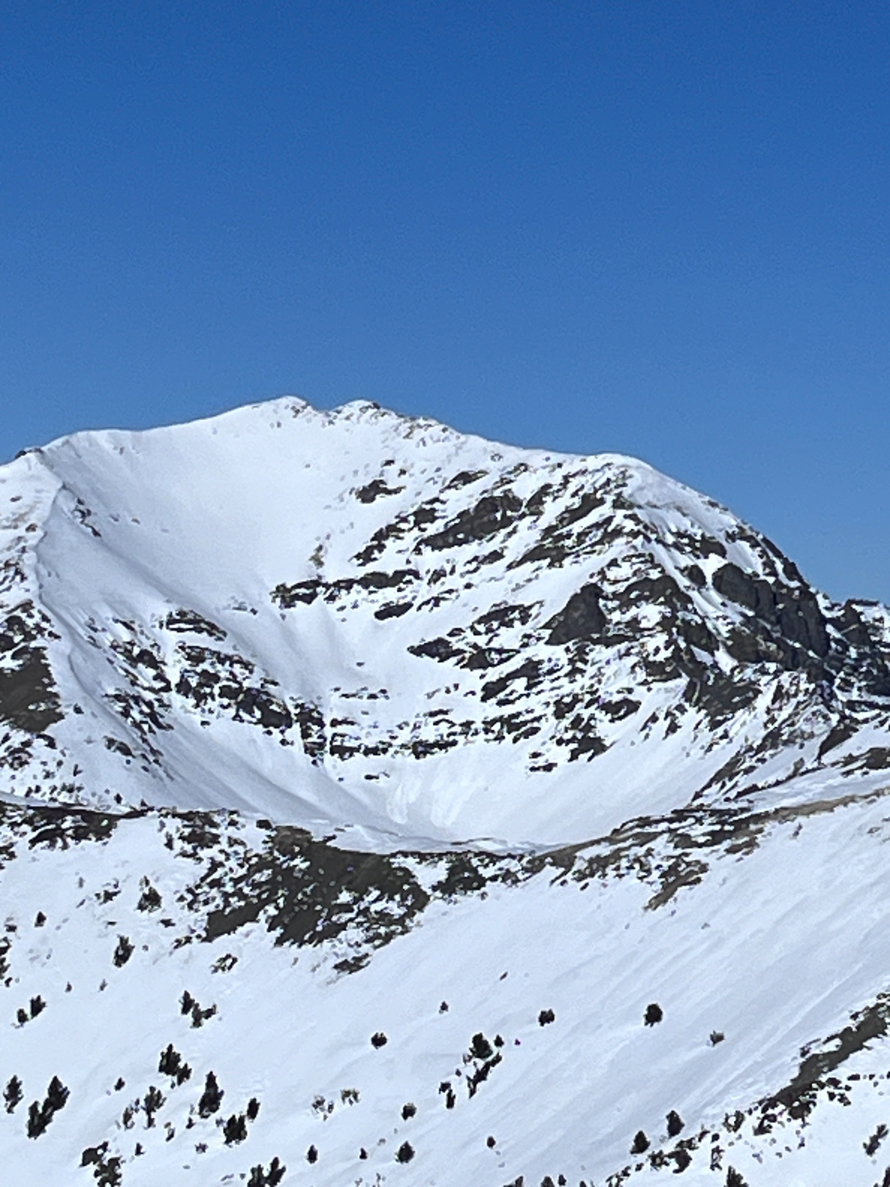
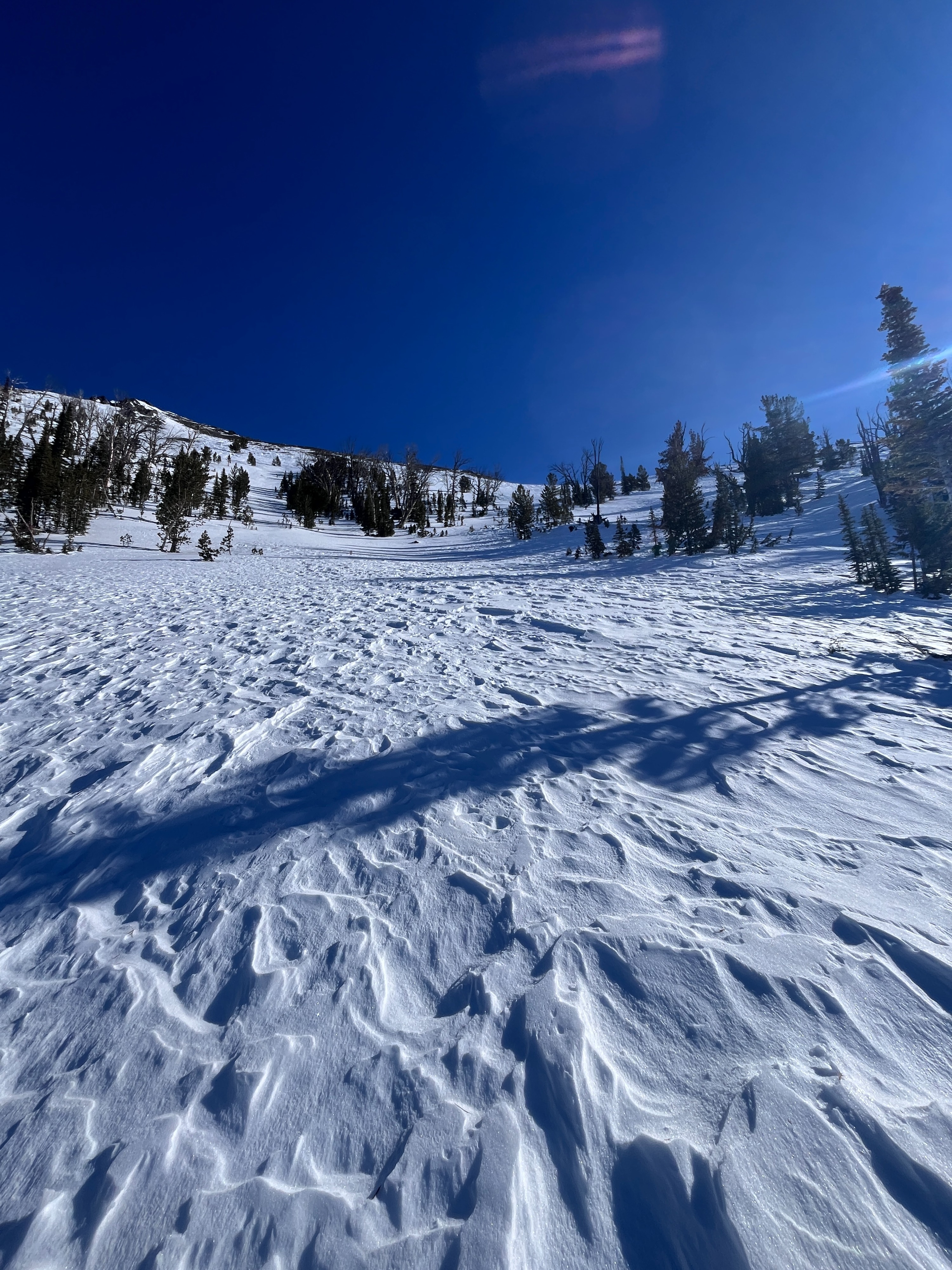
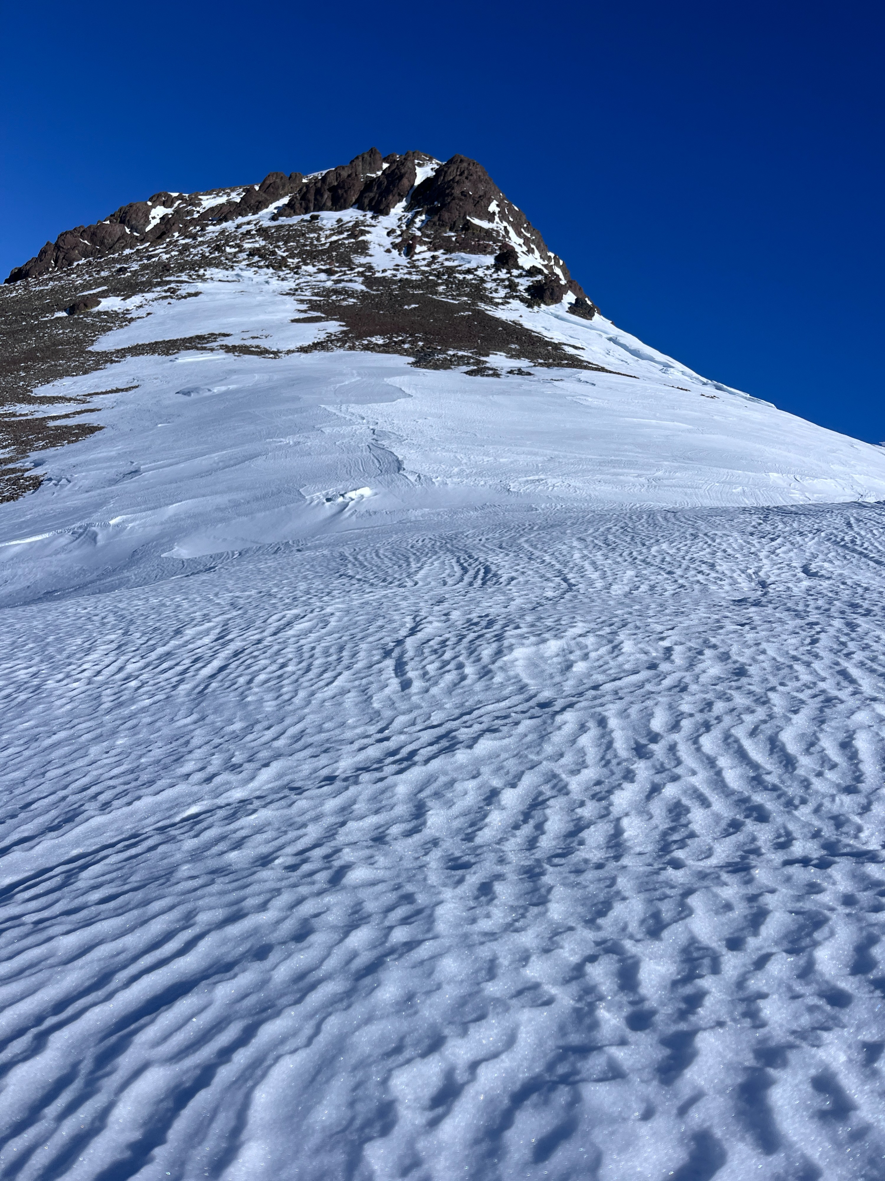
Saying the wind affected the upper elevations might be an understatement. On most slopes above 8700', the snow surface was stiffened, scoured, or textured by recent winds. On steep southern slopes along ridgelines, the surface had just begun to soften and moisten by 2:30 PM. On sheltered NW and W aspects, the snowpack remained soft and unconsolidated to the ground, below any surface stiffness or crust. I observed a few small avalanches in the south bowl of Galena Peak, although it was difficult to determine exactly when they occurred.
Weather
- Cloud Cover
- clear
- Wind Loading
- none
- Recent Snowfall
- 0
- Snow Avail For Transport
- none
Sunny skies with calm to light ridge-top winds. Winds were variable from the E, NE, and briefly from the N.
Snowpack
Above 8700', the snowpack was heavily affected by the wind, with sastrugi at ridgetops and a firm (at times slippery) snow surface. On solar slopes, there was a thin crust above the wind board, which broke down on due south-facing slopes by 12:30 PM, and by 2:30 PM on steep southwest slopes. Due west, there was more of a "zipper" crust, but it had not broken down by the time I exited.
NW-facing sheltered slopes between 8700' and ~7500' were a mix of wind-stiffened snow, facets, and wind skins. Below the surface, it was easy to push through what remained of any slab with a pole.
Avalanche
I saw several old wet loose avalanches in the S Fk. E Fk. Salmon drainage, all D1-D1.5. In the south bowl of Galena Pk. there were several small D1 wet loose avalanches, but I am unsure if they were recent or from the Jan 15th warm-up.