
Quick report
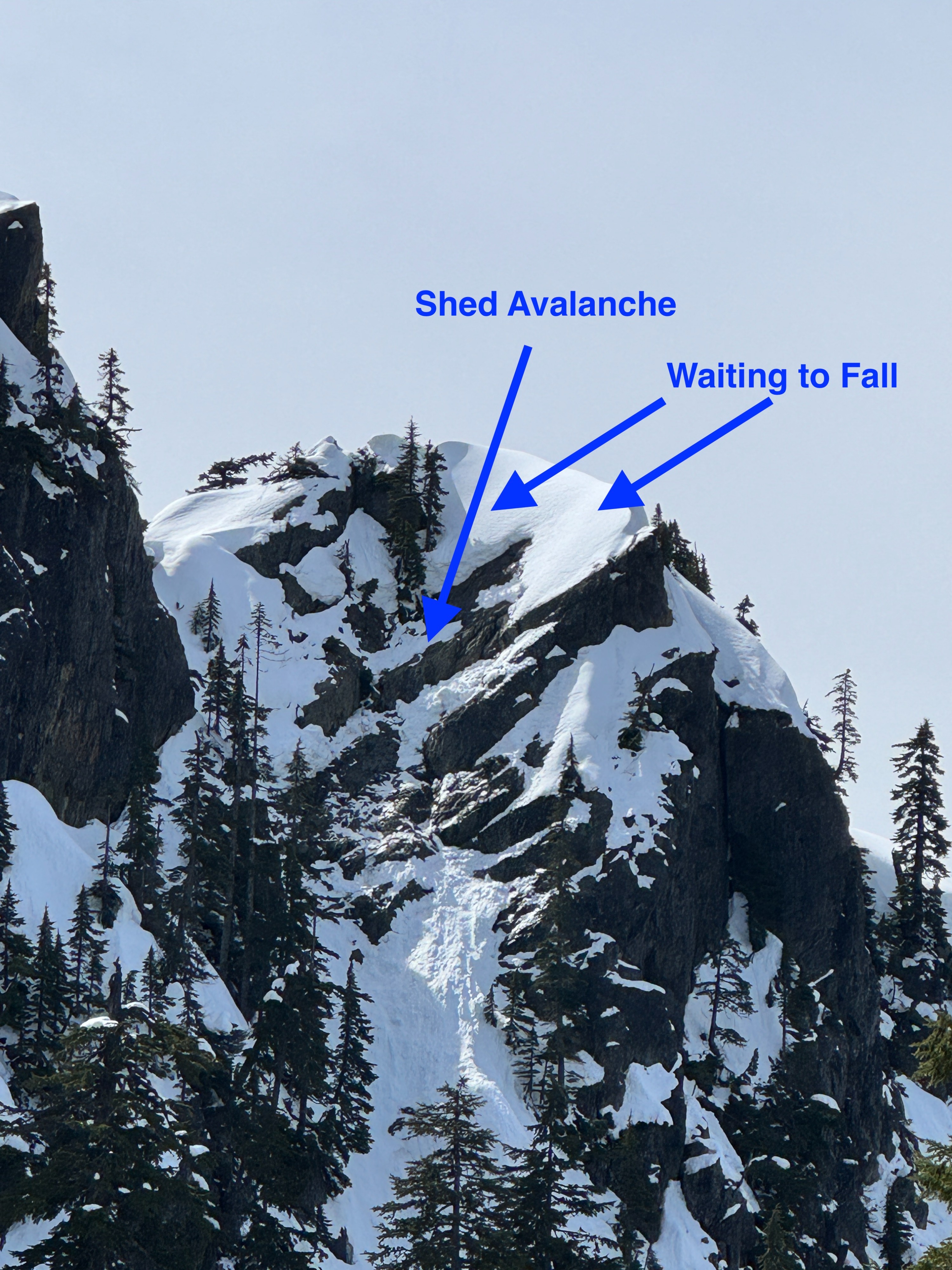
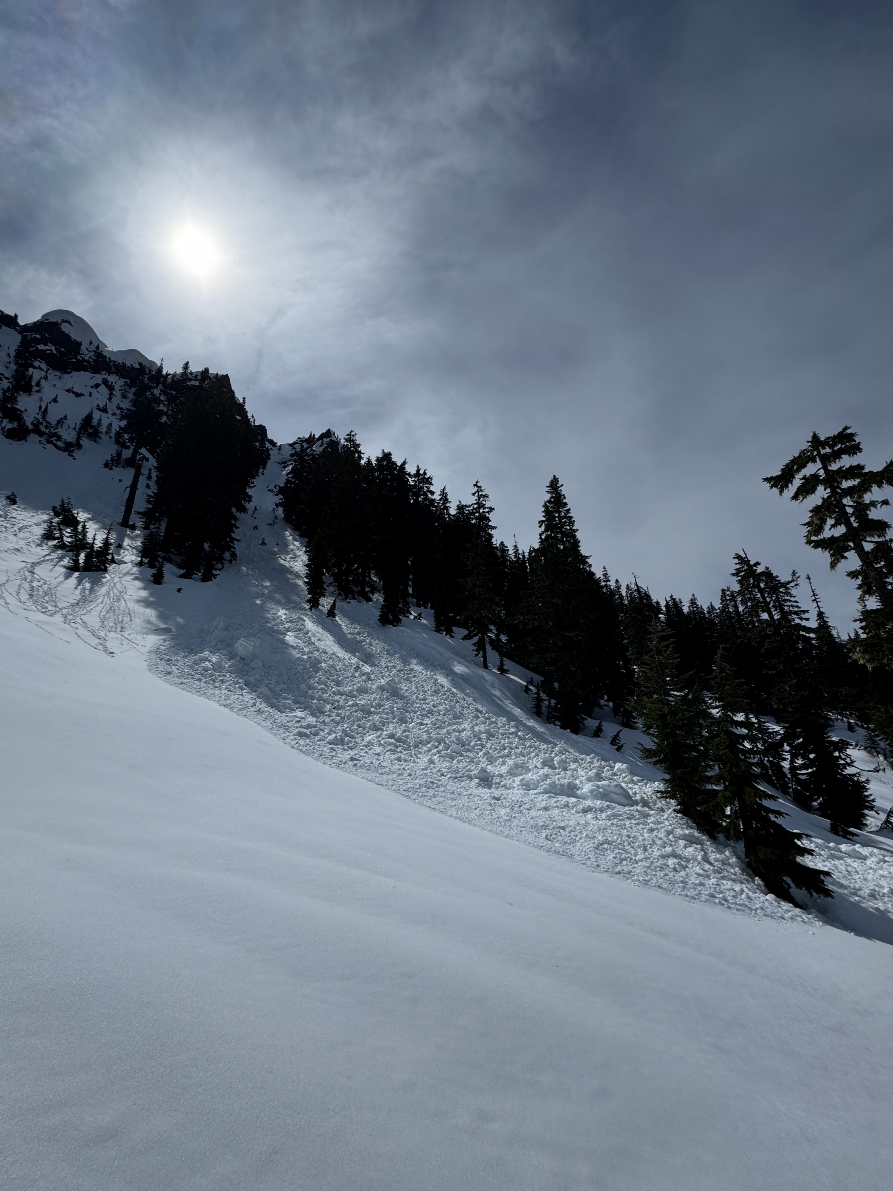
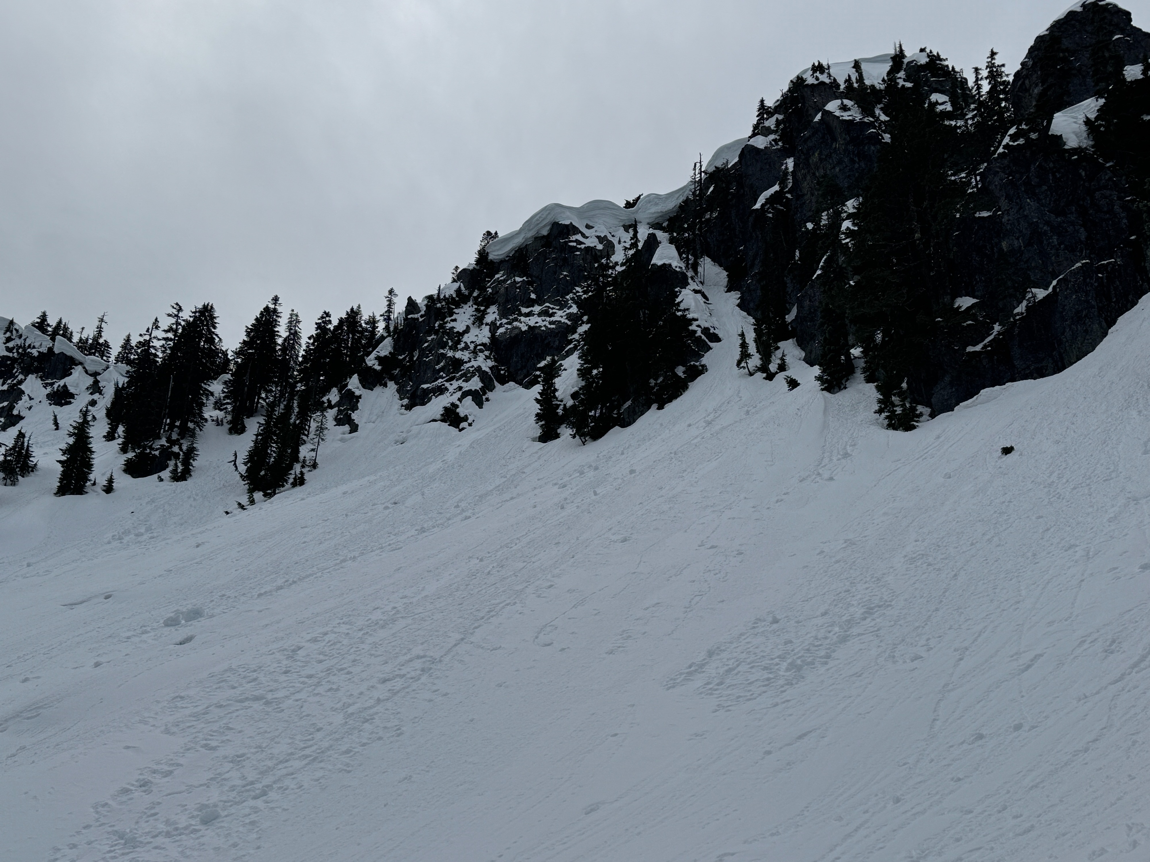
There was a big difference between what we found down low and up high. There was more snow and more avalanches at middle elevations. We easily pushed small wet loose slides in the recent snow on very steep slope. These typically ran well on the underlying crust. However, what really had our attention was a few large recent shed-style avalanches. These made use move quickly below looming cornices and any rocky slope still holding blocks of snow.
No cracking or collapsing.Weather
- Air Temp
- 40
- Cloud Cover
- scattered
- Wind Loading
- none
- Rain Elevation
- 4000
- Recent Snowfall
- 30
- Snow Avail For Transport
- none
Today was much sunnier and warmer than we anticipated. Even though ridgelines winds were moderate (E), the surface snow was too wet and heavy to blow around. Right as we were leaving the field clouds began to rapidly increase, and it was raining by the time we hit I-90.
Snowpack
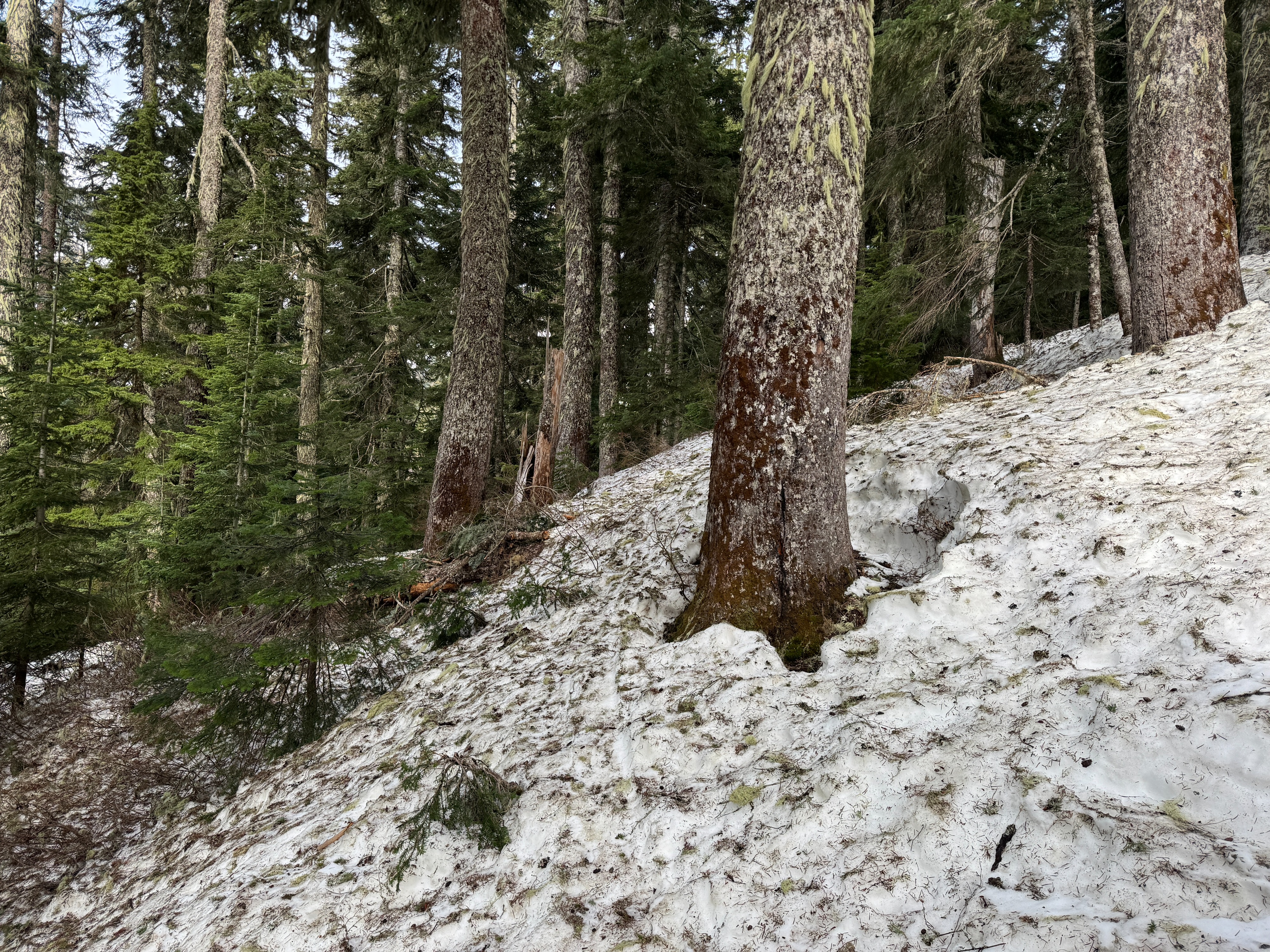
There's a big difference between the lower and middle elevations. Down low, the snowpack is thinning and there wasn't much recent snow. Open creeks, patches of bare ground, and tree debris make travel more challenging than normal. Things changed significantly around 4500ft.
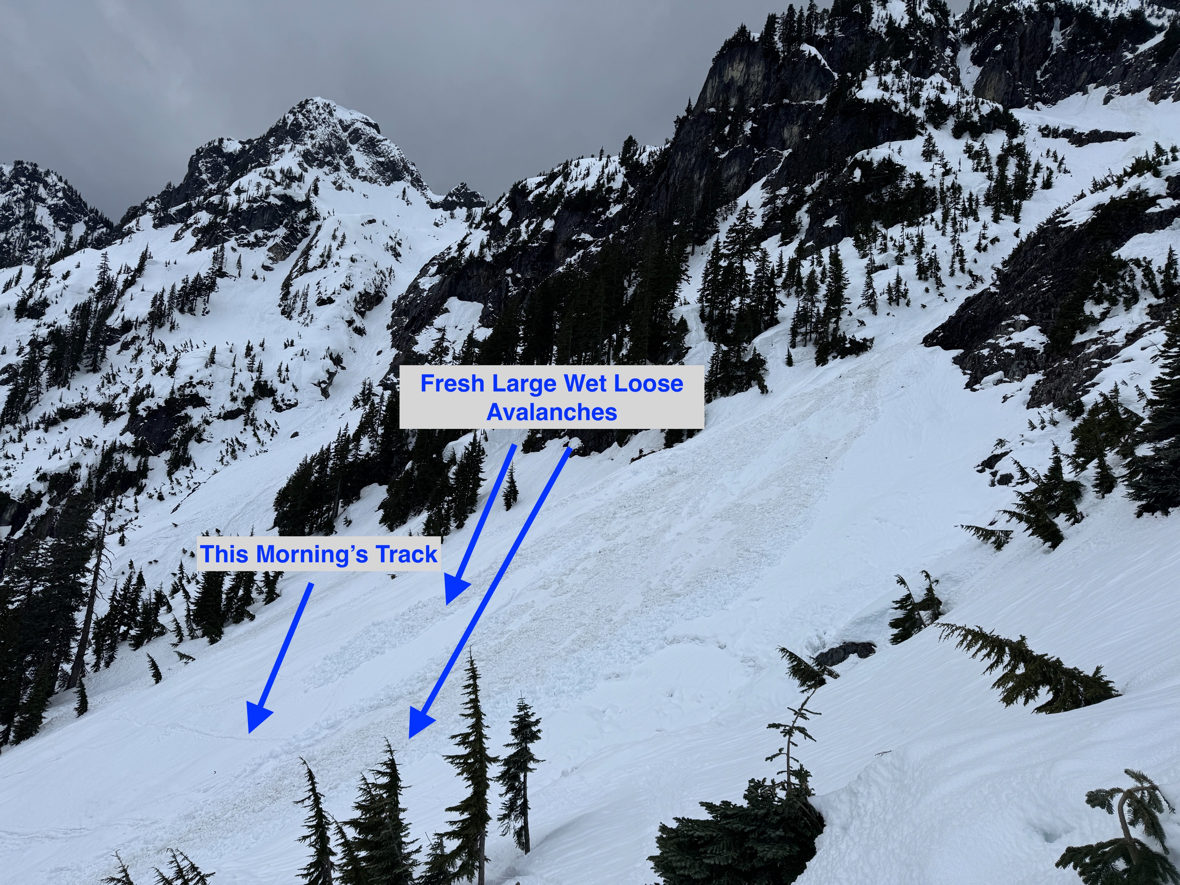
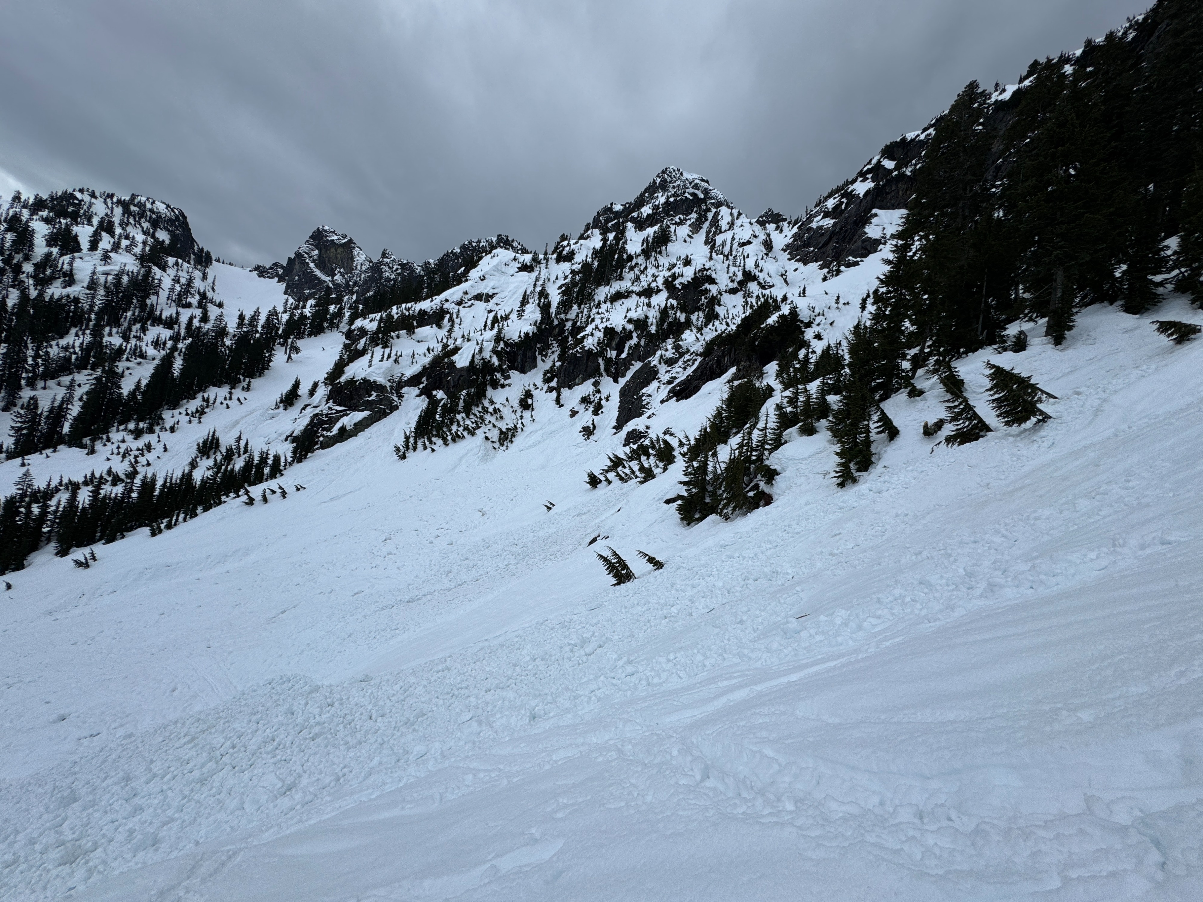
The amount of recent snow increases rapidly as you pass that magic line. We found around 12 inches (30cm) of snow at 4500ft and 18 inches (45cm) at 5000ft. A weak surficial freeze from Wednesday night didn't last long in the sunshine and warm temperatures. It broke down on all aspects by around 1030 am. The thin crust/wet snow capped the remaining dry storm snow which was well bonded to the underlying newly forming crust. This layer, buried on April 7, is a combination of the March AR crust and every storm since all melded into one. This layer wasn't confidence inspiring. The "crust" wasn't very thick nor very strong, however, it seemed to be strong enough to serve as the bed surface for all the wet loose avalanches we observed.
The snowpack still seems to be fumbling through this transition period. Southerly slopes were further along, with the upper snowpack primarily composed of meltforms. Some were wet and weak, some strong and frozen. On more northerly aspects, the snowpack was more layered, including thick bands of strong small rounded grains. These areas have a long way to go to transition into spring.
Cornices: The cornices this year aren't as big or as common as normal, but several large overhanging waves of snow still loom over alpine slopes. Many were droopy and drippy...not our favorite.
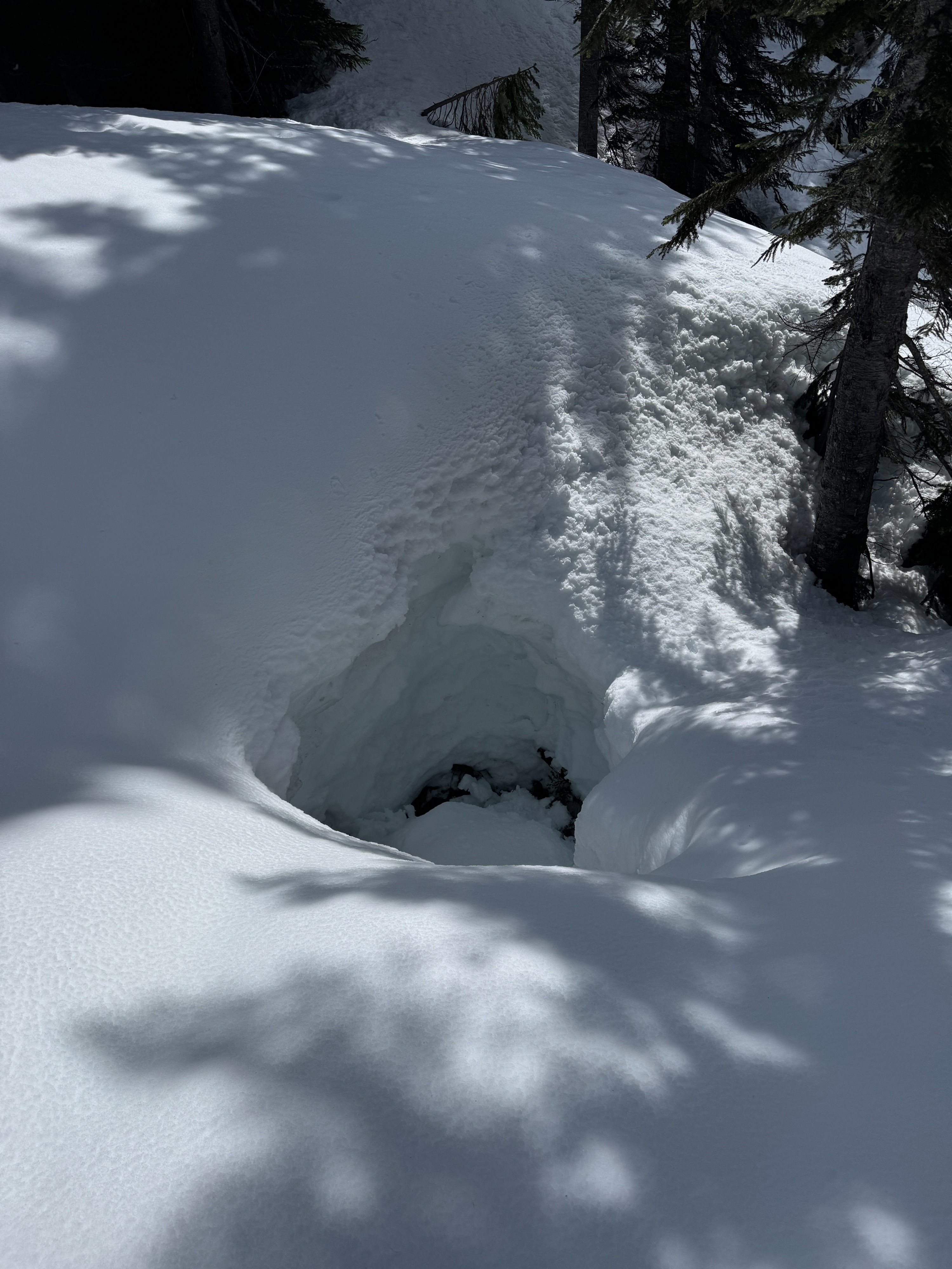
Other Travel Hazards: Holes near rocks and creeks are becoming common at all elevations. Numerous piles of debris still remain from the March atmospheric river (AR) wet slab avalanche cycle.
Avalanche
- Size
- D2 R3
- Type
- WS
- Count
- 2
- Aspect
- N
- Trigger
- N
- Elevation
- 4800 ft
We were able to trigger small wet loose slides on test slopes steeper than 40 degrees. We found several recent larger wet loose slides that covered another groups tracks from this morning.