
Quick report
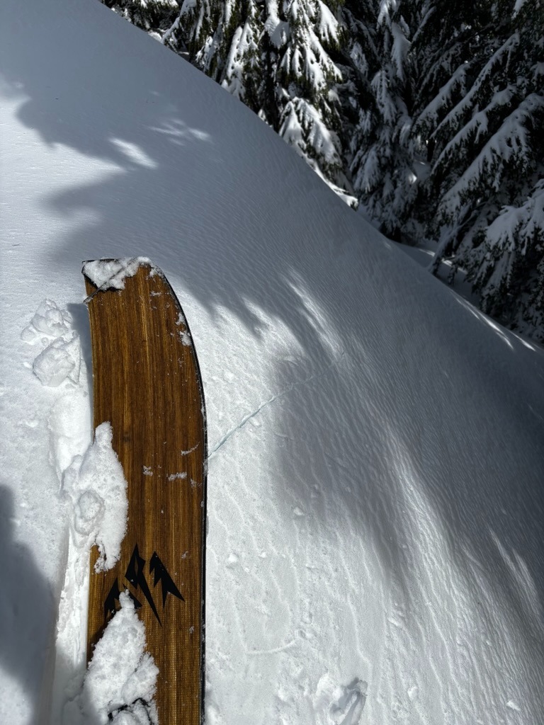
- Cracking
- isolated
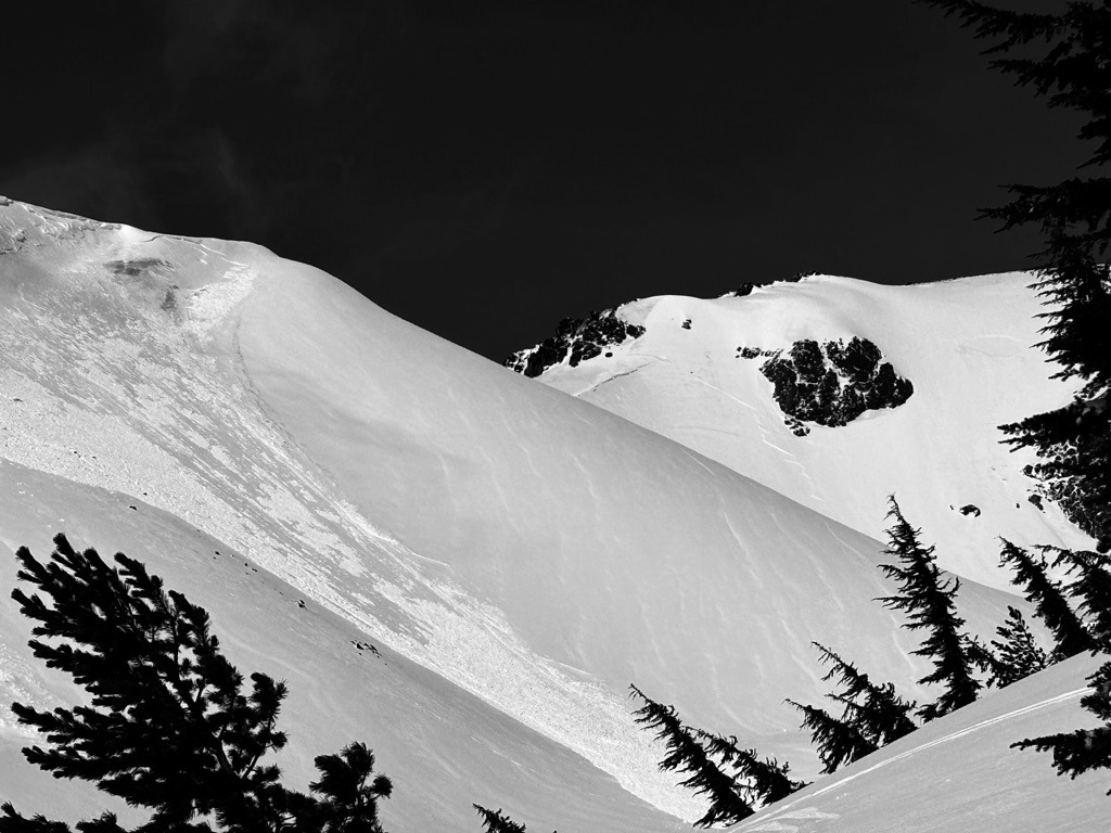
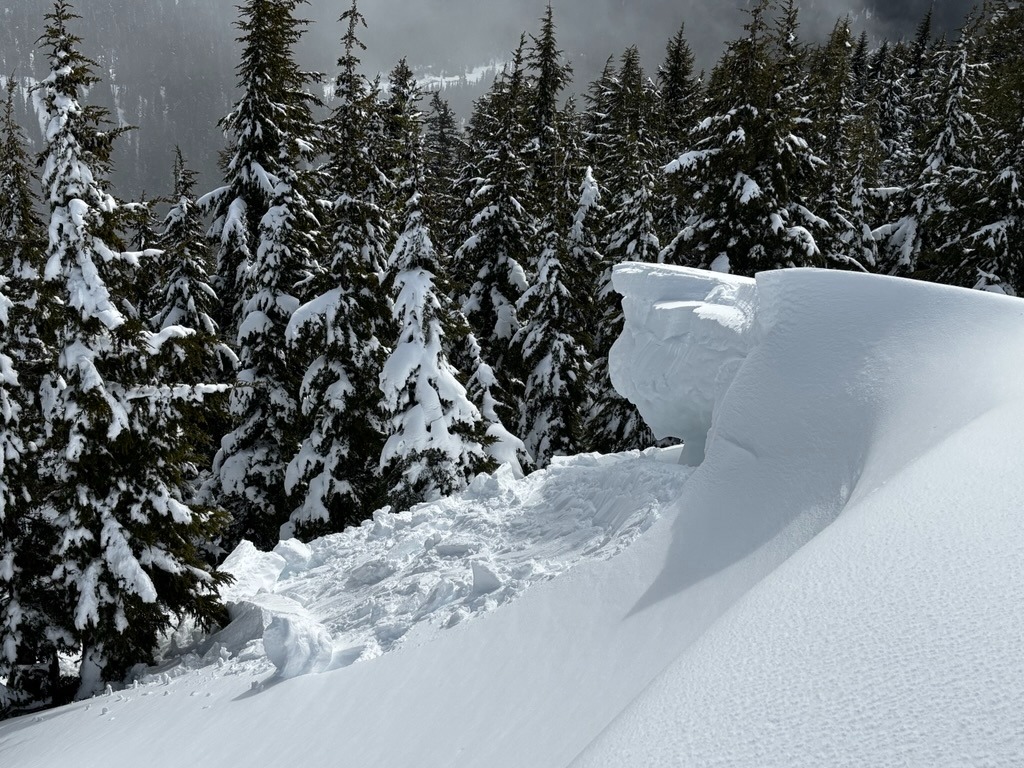
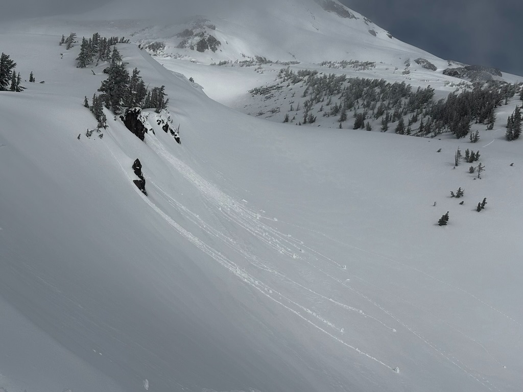
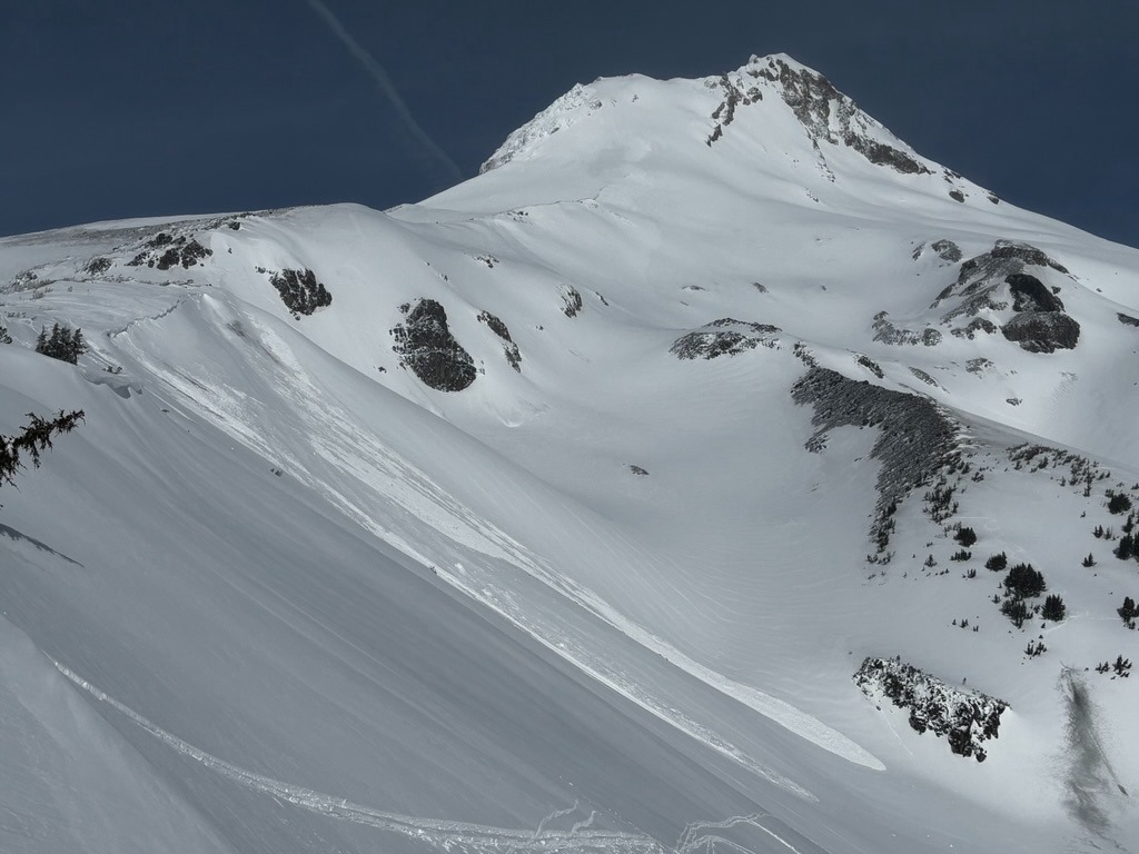
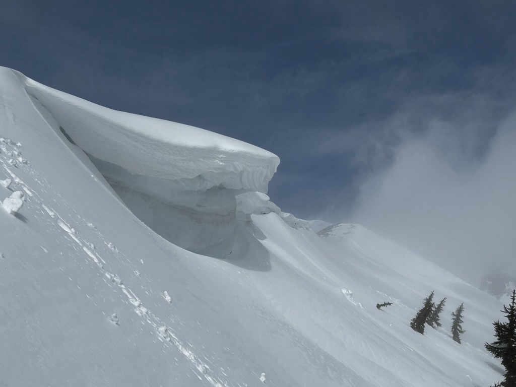
Dry snow avalanche problems like wind slab instabilities were quickly replaced with wet snow avalanche concerns on many slopes as temperatures heated up. Warming temperatures quickly weakened surfaces and killed ski quality below 7000 ft after 11 am. Cornices also started weakening and are quite large, and overhanging along many ridges.
Weather
- Air Temp
- 30s
- Cloud Cover
- broken
- Wind Loading
- none
- Recent Snowfall
- 20-30 cm
- Snow Avail For Transport
- none
Low clouds in the 6-7000 ft range lingered through the morning hours. These low clouds limited visibility at times.
Snowpack
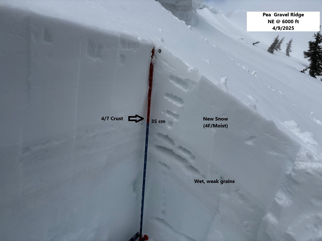
Nearby telemetry reported roughly 6-8 inches but this didn't paint the full picture above 6000 ft. At these middle and upper elevations, I found 12-15 inches over the recent 4/7 crust. Warming temperatures made this new snow moist on all aspects quickly and it was easy to push rollerballs on steeper convexities. I also observed large, sensitive, overhanging cornices along the Newton Ridgeline.
Below the new snow accumulations, the snowpack is wet, punchy, and really not too confident-inspiring. While the new snow is generally well bonded to the 4/7 crust/wet grains, there is a thick layer of weaker 4F/F melt forms sitting just beneath this soft crust. Snowpack tests would often fail on these weaker grains roughly 40-50 cm below the surfaces.