
Quick report
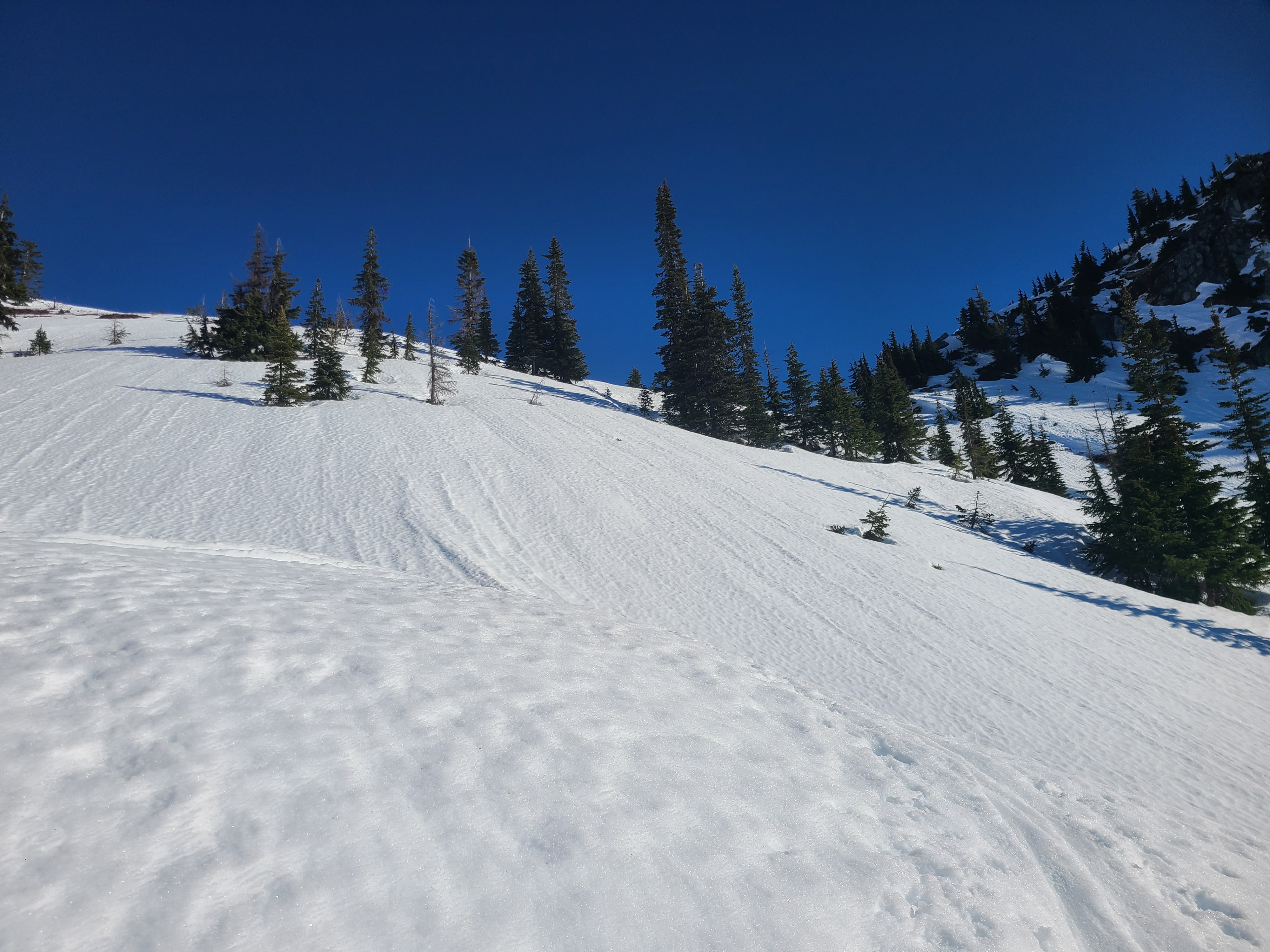
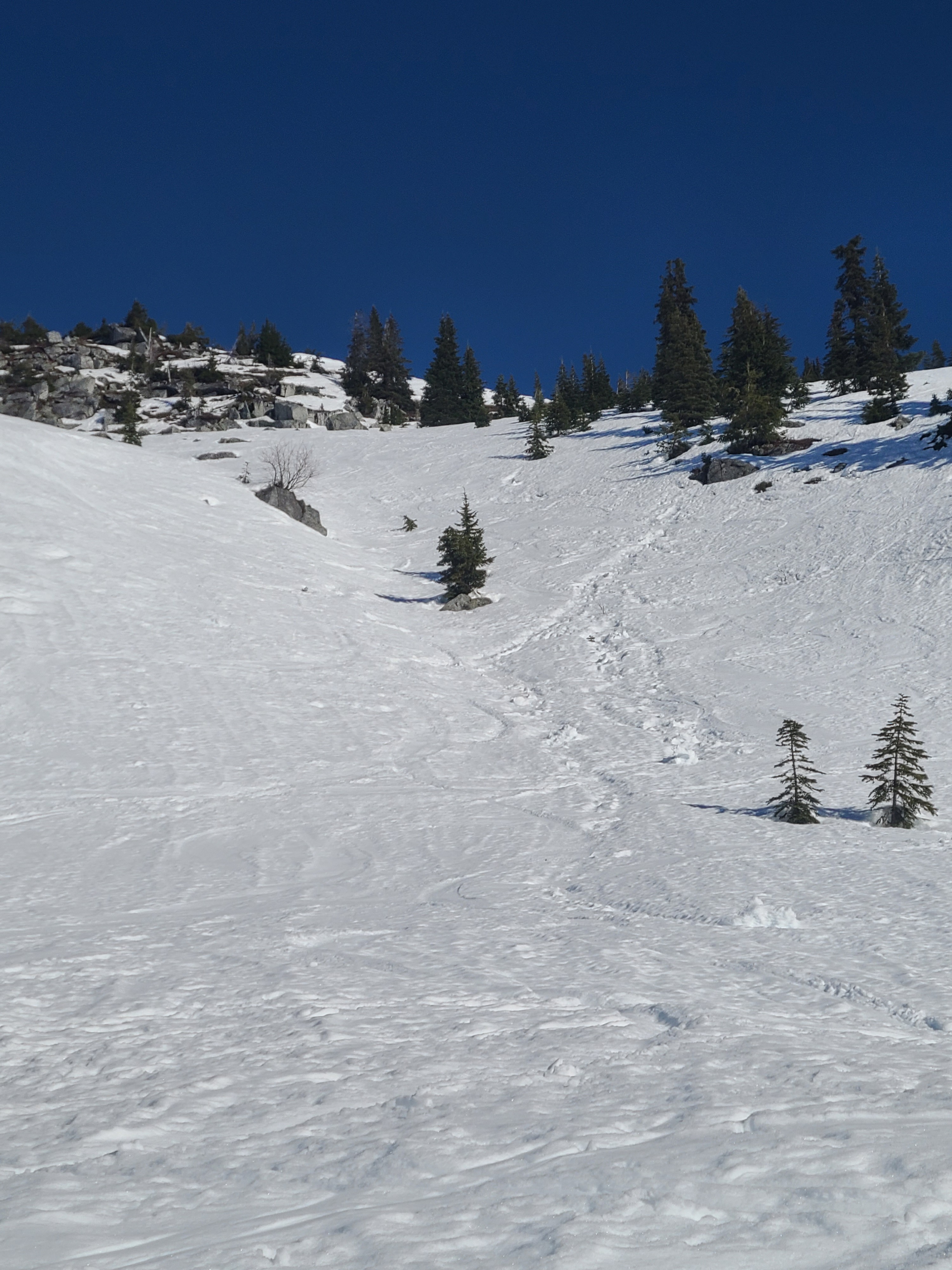
I took a tour up onto some sunny aspects to observe how the diurnal melt-freeze cycle was playing out and if surfaces were softening slightly or becoming unsupportable. I found favorable conditions above 4200ft where surfaces are refreezing overnight and softening into corn during the day on southerly aspects. This cycle has gone on long enough that suncups are beginning to form and surfaces are no longer completely smooth. Travel at lower elevations is challenging on hard refrozen surfaces that are not softening during the day. Ski crampons and a durable attitude are worth bringing along for these conditions.
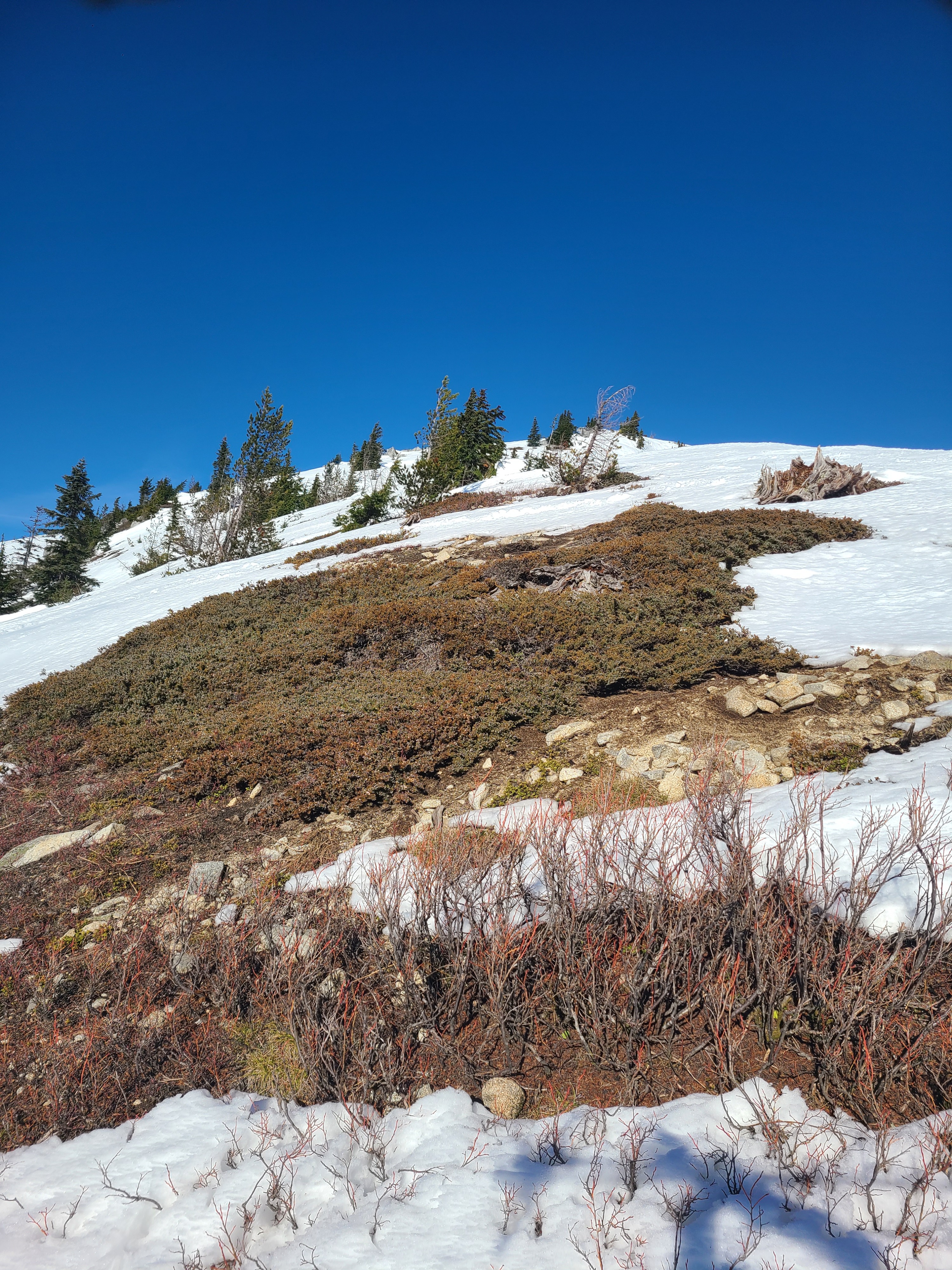
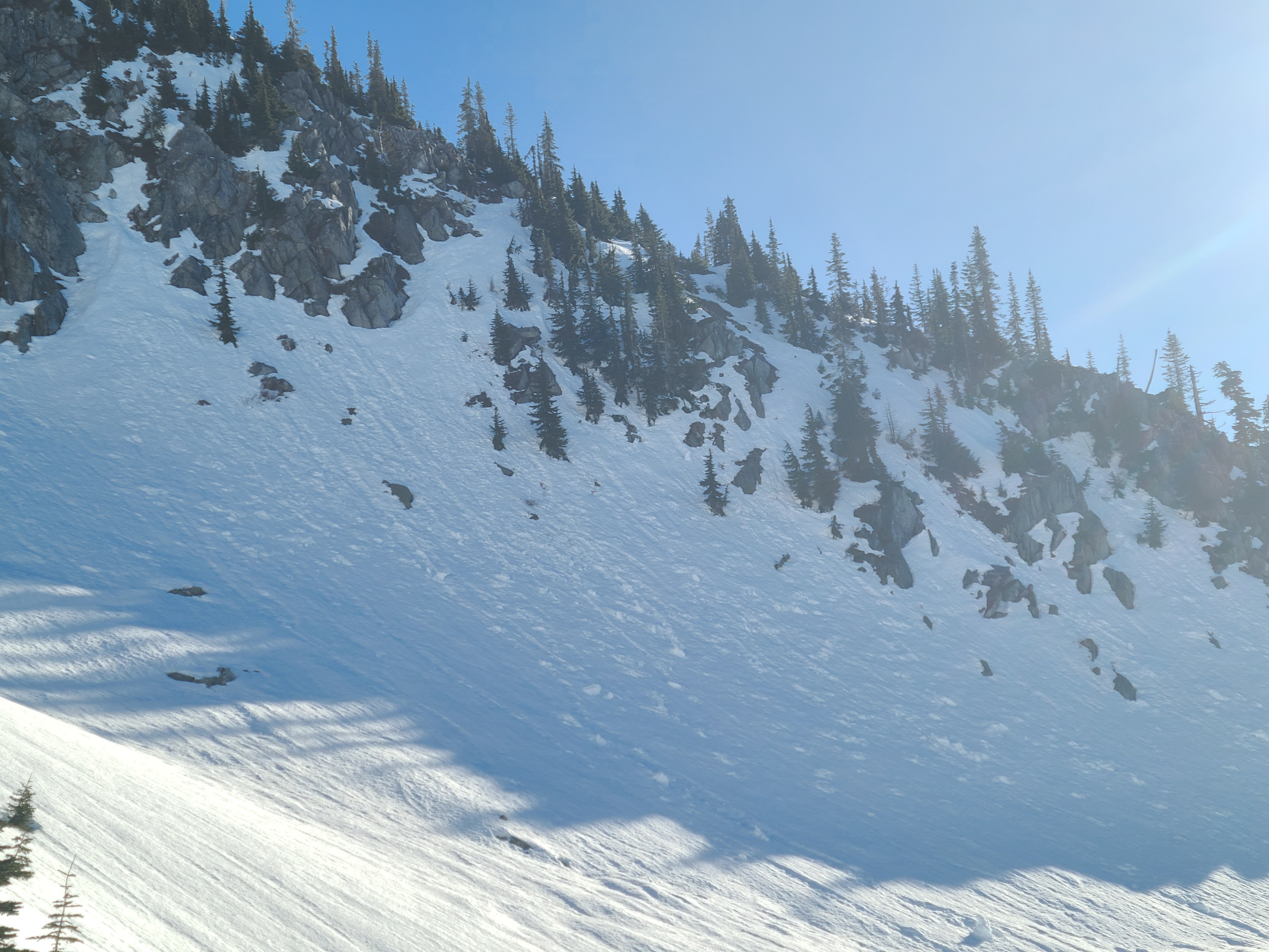
Cornices and rock slabs have melted back significantly. While some snow is still clinging to rocks, there was no evidence of recent avalanche activity.
Weather
- Cloud Cover
- clear
- Snow Avail For Transport
- none
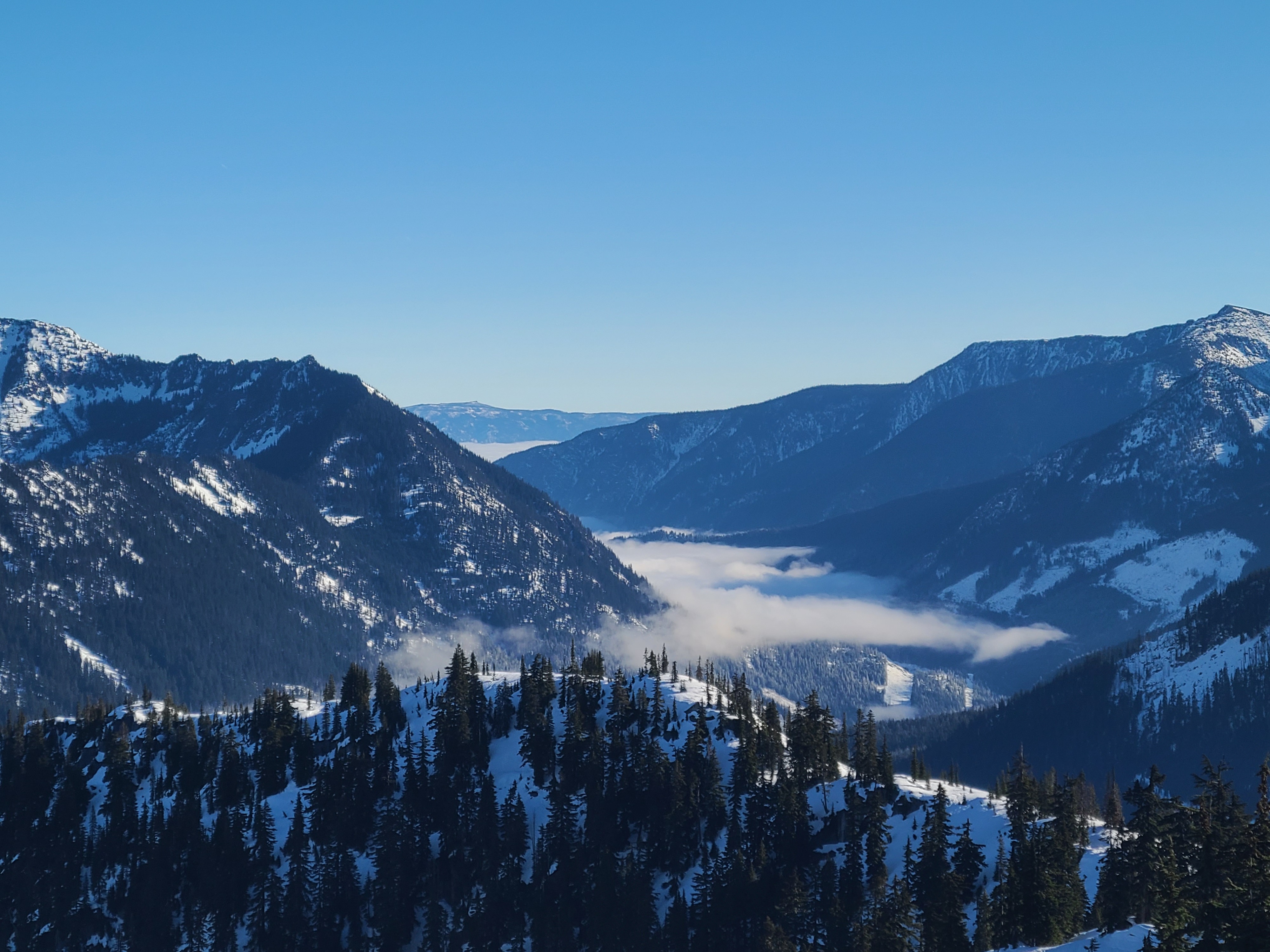
The cold air and cloud deck from the inversion east of Stevens Pass hung out around 3800ft in the morning before receding further east and into lower elevations as the day progressed. Above the inversion, it was a clear day with mild temperatures and moderate ridgeline winds from the east.
Snowpack
Snow Surface Summary
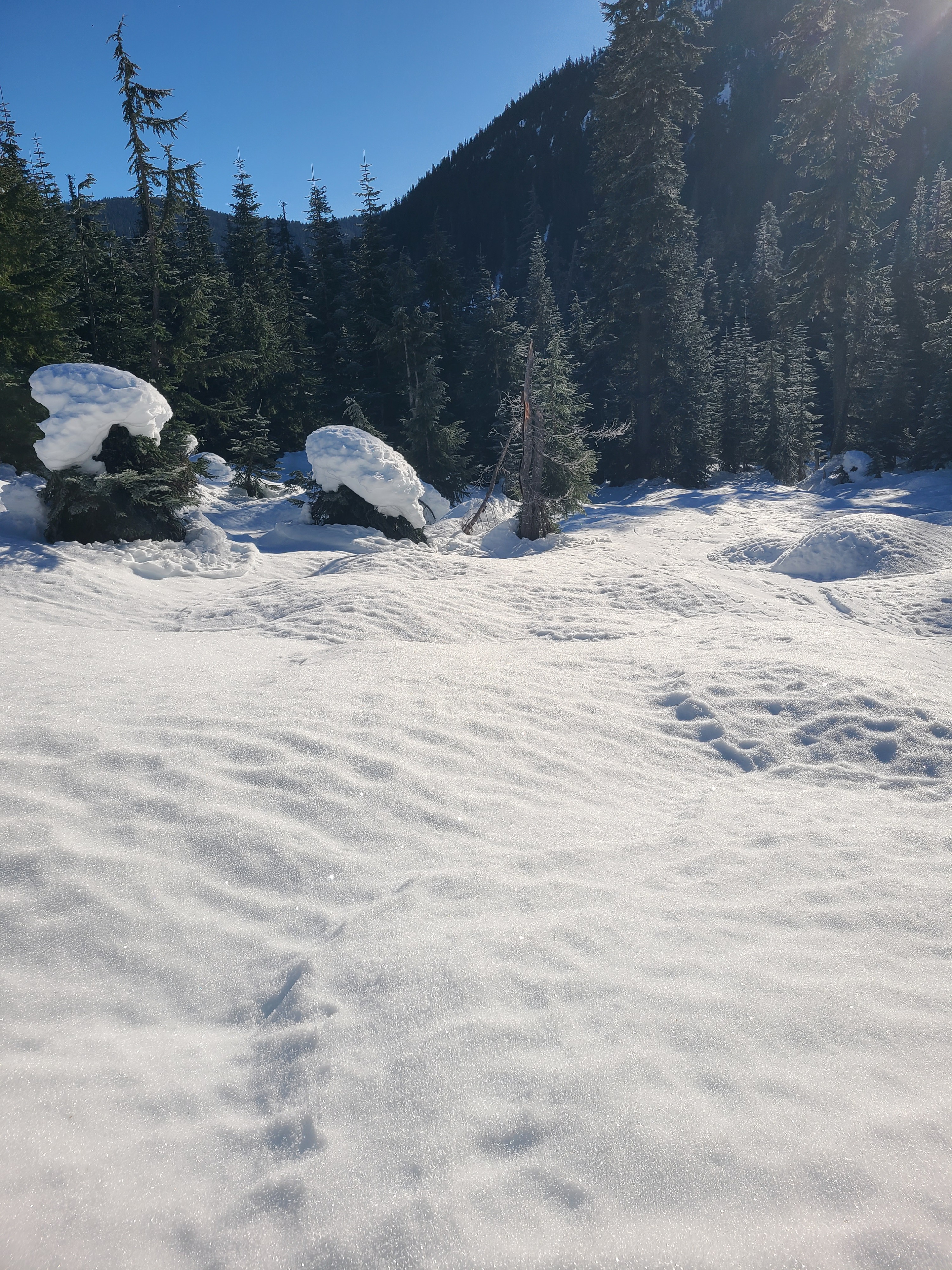
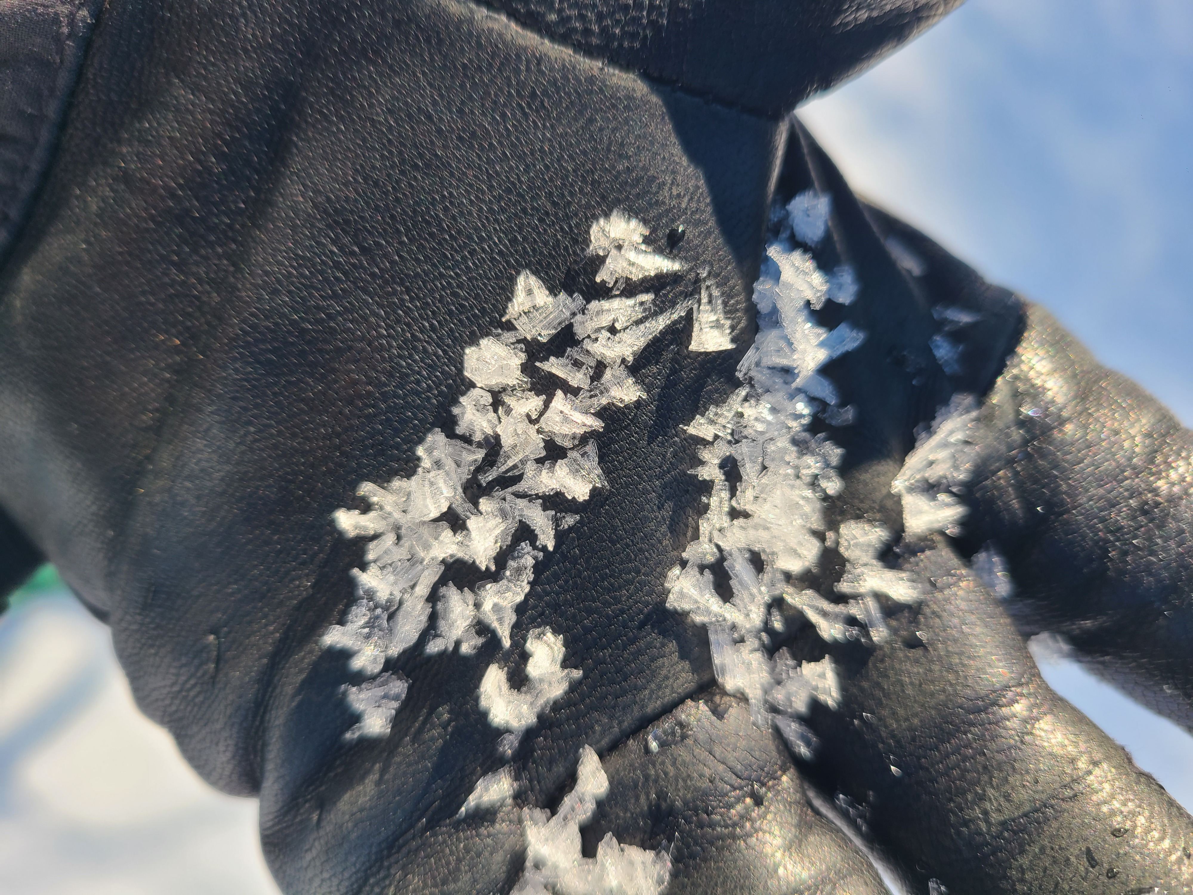
Below the inversion at around 3800ft, surfaces were frozen solid and textured from rain and persistent melt-freeze cycles. We observed widespread 8-10mm surface hoar over the melt-freeze crust in open areas. In forested areas, the snow surface is best described as a frozen coral reef, bulletproof and particularly treacherous in areas where water dripped from the trees. Above the inversion surfaces, the snow surface had refrozen overnight, but the top 5-10cm were softening nicely with sunshine and warm temperatures. This prolonged warm, sunny weather has started forming small suncups on steep southerly and westerly aspects.
Snowpack Summary
At 5000ft on a WSW aspect, there was 135cm of snow. The top 10cm were moist meltforms over a 10-15cm thick melt-freeze crust. The Jan. 3rd crust is buried approximately 60cm deep.