
Quick report
- Collapsing
- isolated
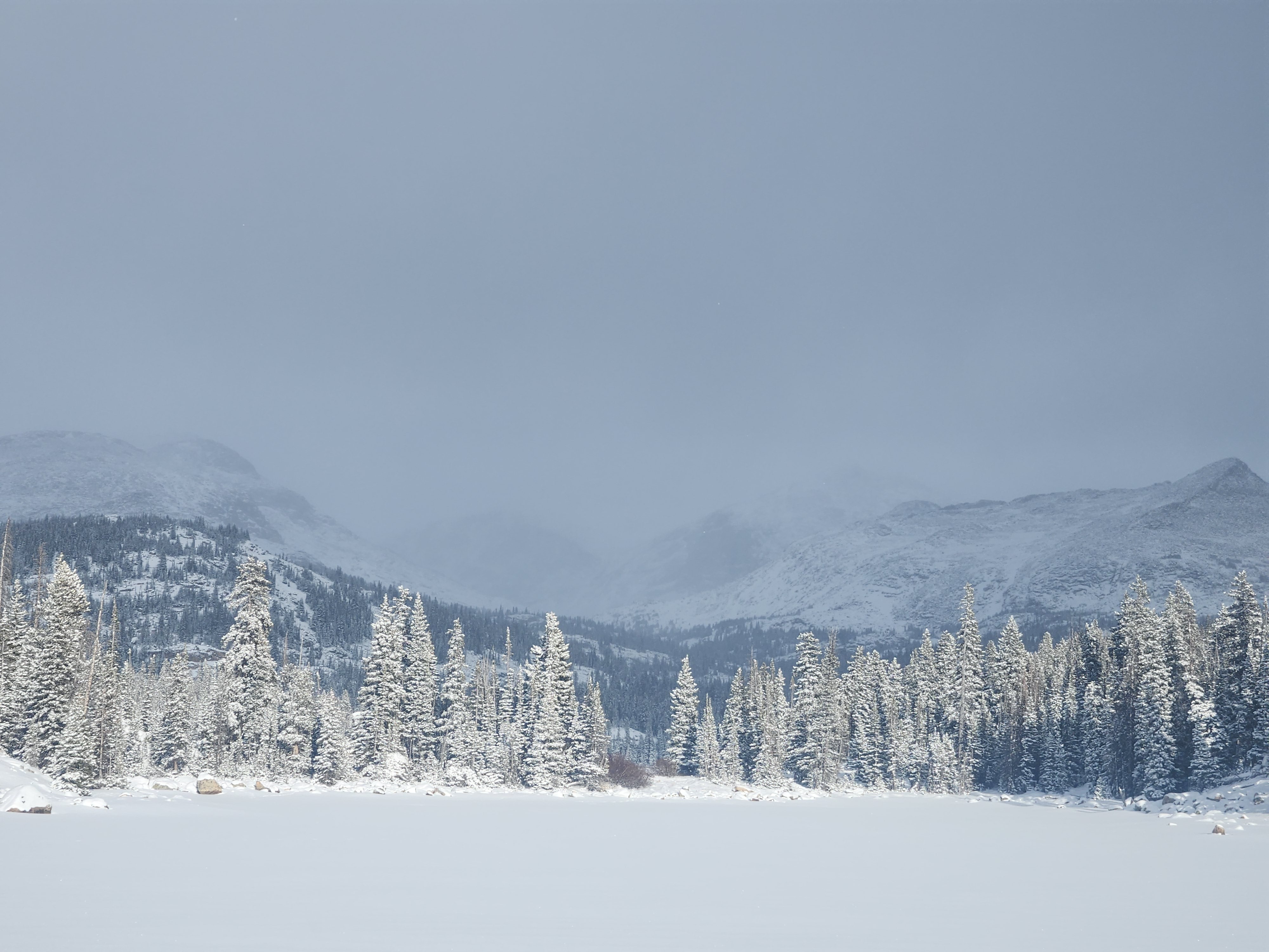
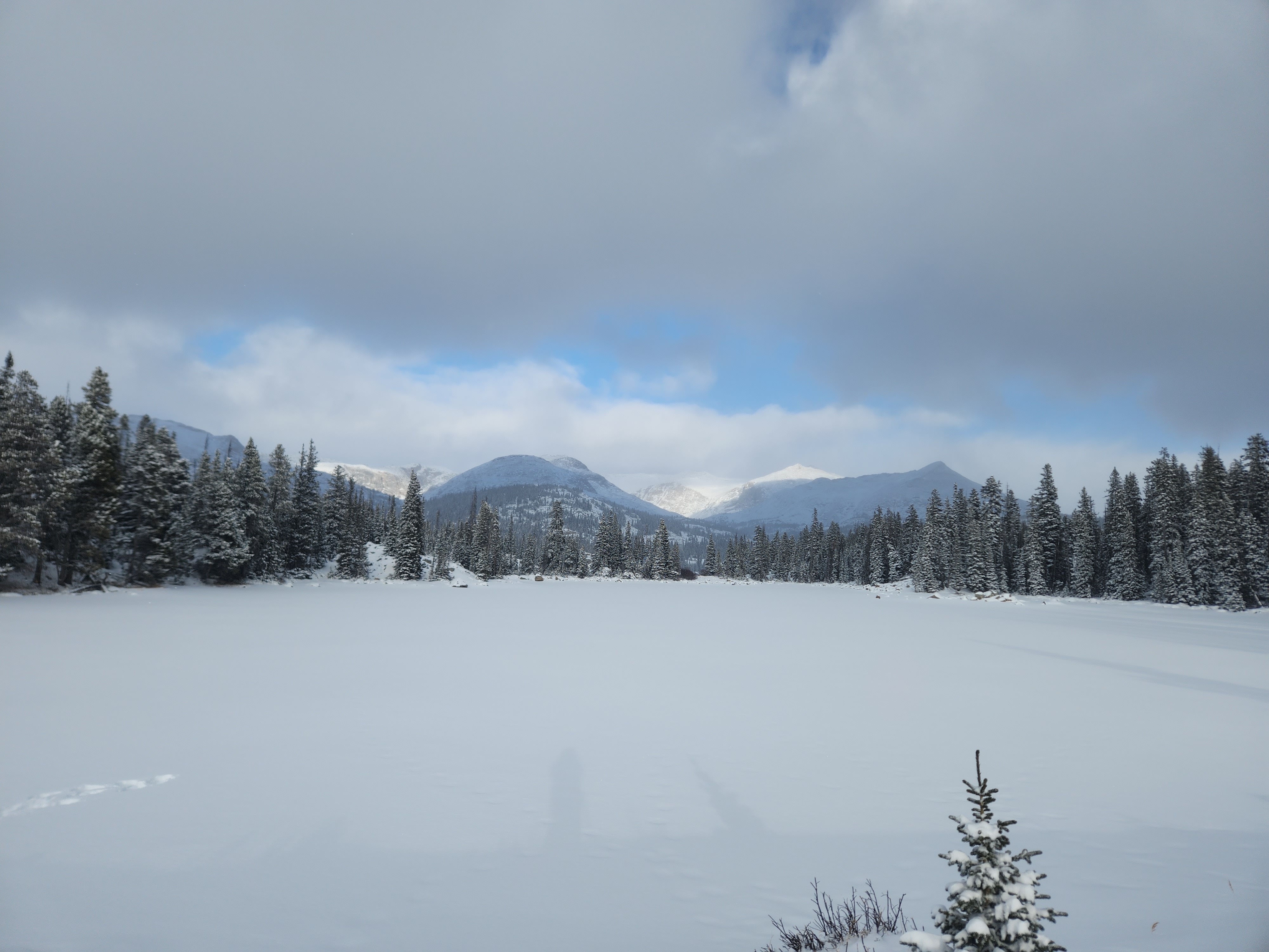
On average there was about 6 inches of fresh snow from the snow showers on Saturday night and Sunday morning. I noticed up to a foot of new snow in certain terrain features such as gullies and flat areas below slopes. It was still snowing above 10,000 feet at 3pm on Sunday. S and SW slopes appeared relatively rocky above the tree line, but terrain features such as gullies appeared wind loaded on these slopes. It would be best to avoid features such as this. A quick hand pit showed a top layer of loose snow from the recent storms. This was about 15cm of snow. Below this was roughly a 5cm consolidated layer, and then below that was a 10cm weak layer of what appeared to be faceted snow. This was on a wind loaded N facing slope. I noticed similar snow to this along my route with some collapsing in certain spots, but it was not widespread. Overall, S and SW slopes seemed relatively stable besides terrain features that accumulate snow. N facing slopes might have persistent slabs in certain areas, particularly where wind loading may occur. Given the recent snowfall, there also exists a thick layer of loose snow that could lead to loose dry avalanches, so be wary of steep slopes with terrain traps below them.