
Quick report
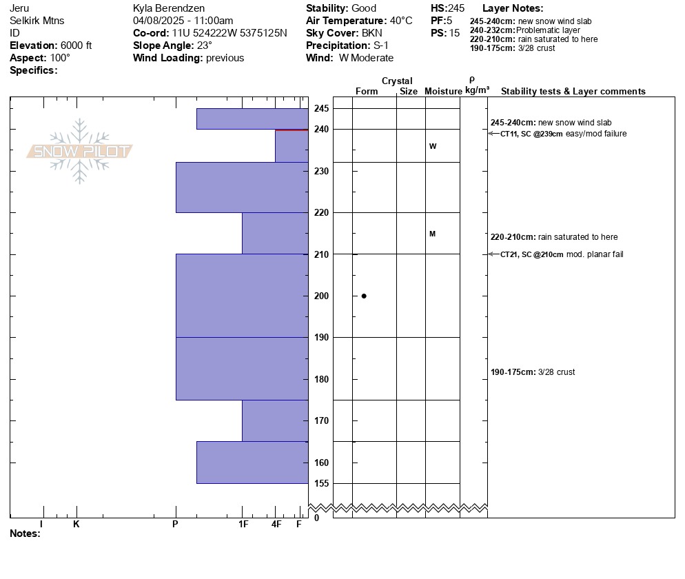
Yesterday's rain (rain even at the high elevations) added a lot of moisture to the upper snowpack. At the lower elevations, this has made the top 30cm even more punchy, and softened the 3/28 crust. At the upper elevations, where the saturated the previous surface layer before turning to snow, it has created a weak, wet layer overlain by a now refrozen crust. The wetting front to which the rain saturated also created a more reactive interface a little lower in the snowpack. The cooler temps today kept the upper snowpack locked up at the higher elevations, but especially with multiple possible weak interfaces that could become more reactive with warming temps and additional precip, loose wet slides such as the one we observed on Jeru peak may become more likely.
Loose wet conditions at the lower elevations, especially as the day warmed up.Weather
- Air Temp
- 40
- Cloud Cover
- broken
- Wind Loading
- previous
- Rain Elevation
- 5500
- Recent Snowfall
- 5
- Snow Avail For Transport
- small smounts
Partly sunny and warm at the lower elevations from the Jeru creek road partway up the sheltered easterly aspects toward the ridge. As we approached the ridge the westerly winds accompanying the incoming stormy weather increased. Jeru peak was mostly obscured in cloud but occasionally cleared enough for a few hundred feet of visibility.
Snowpack
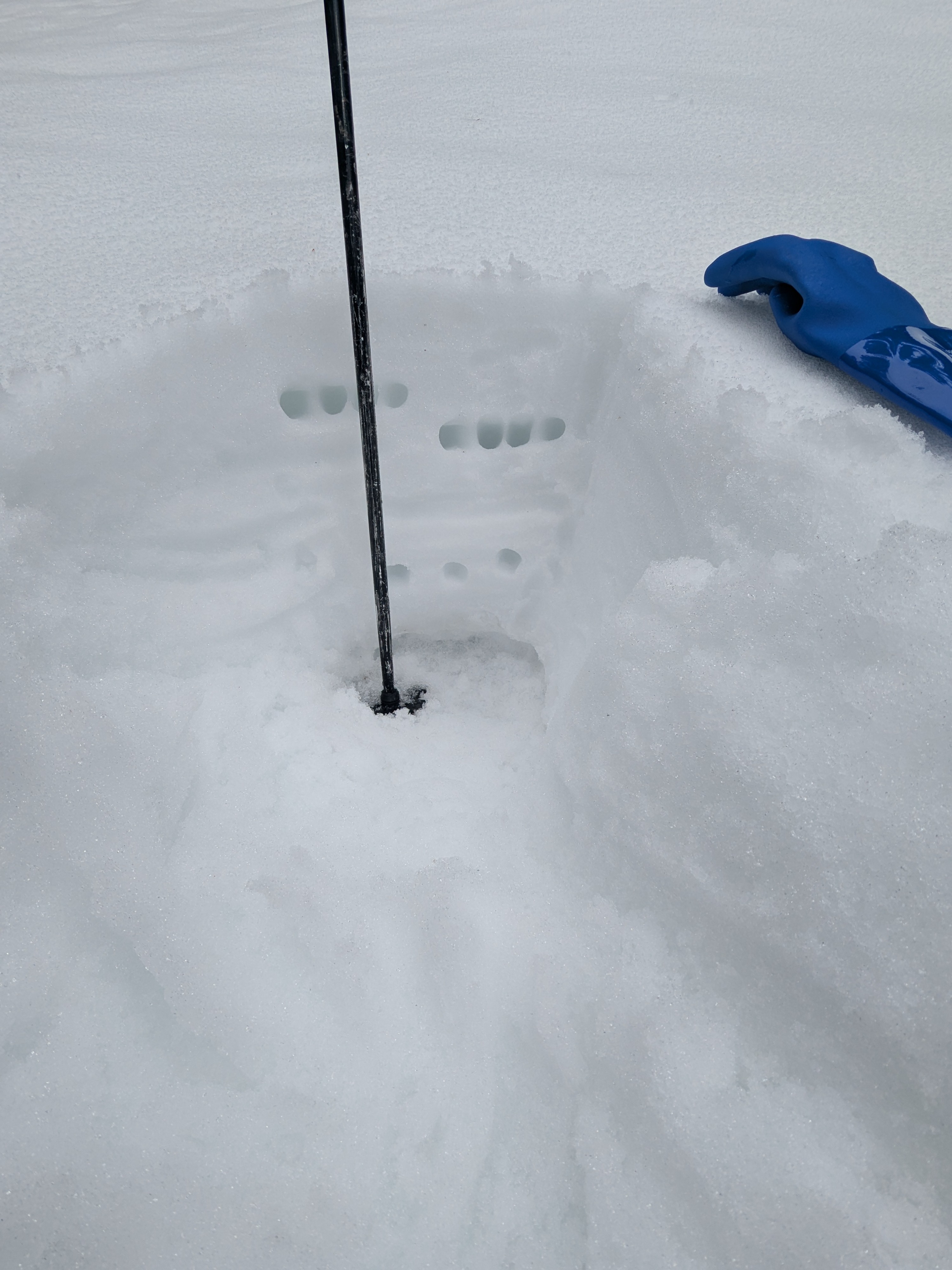
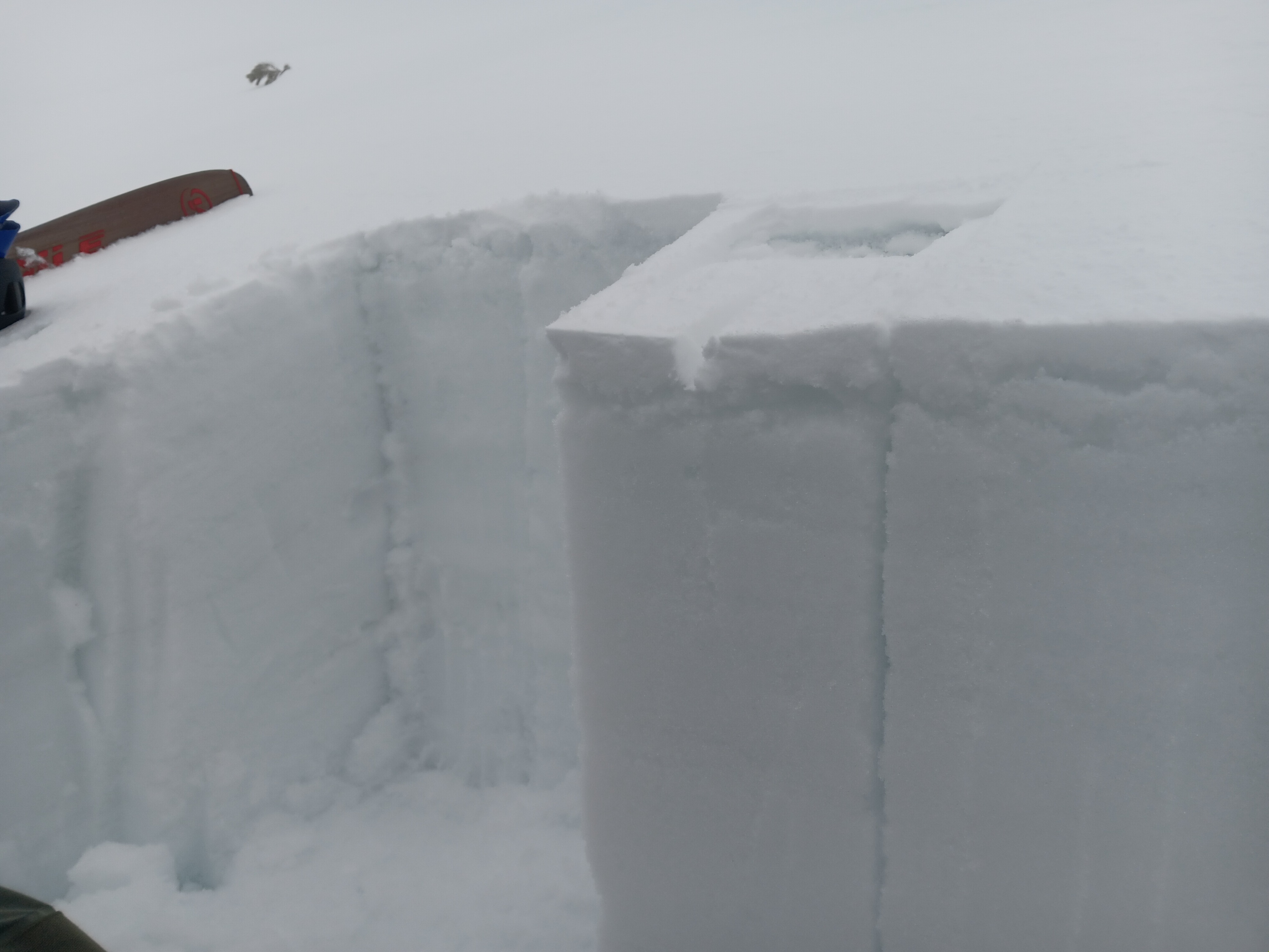
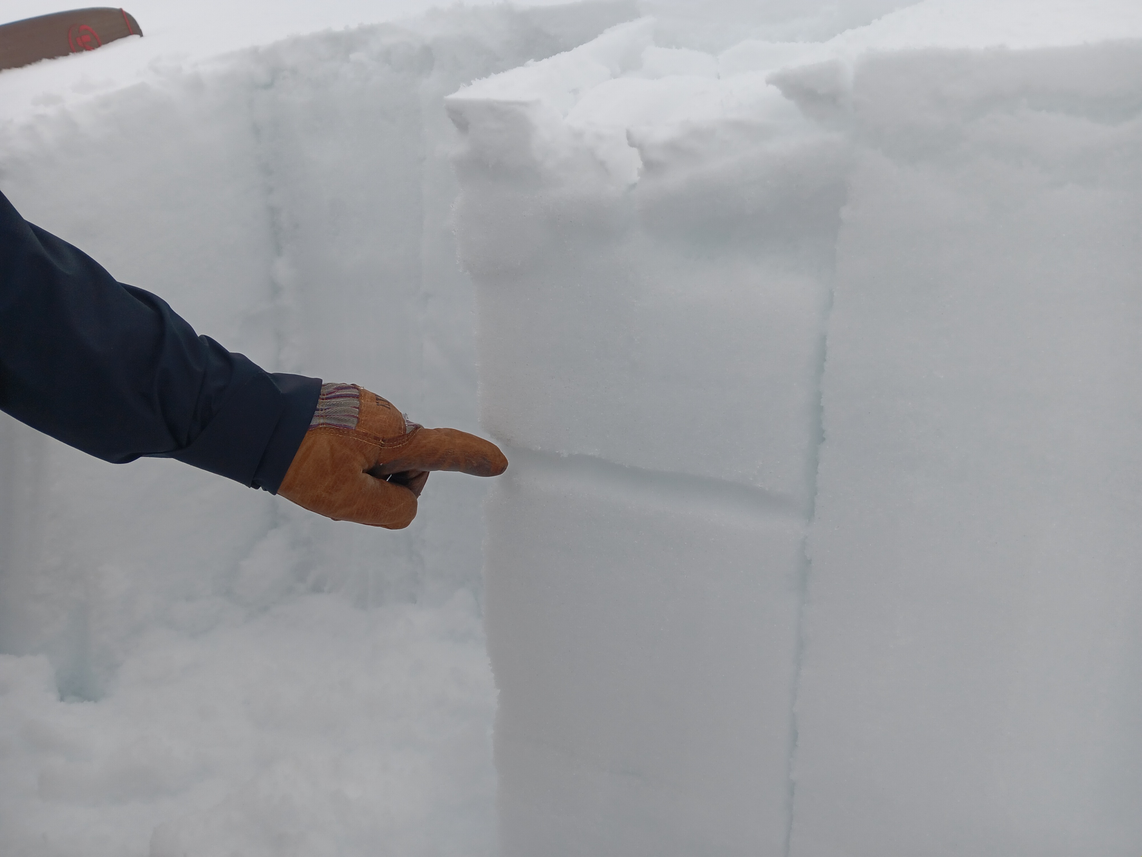
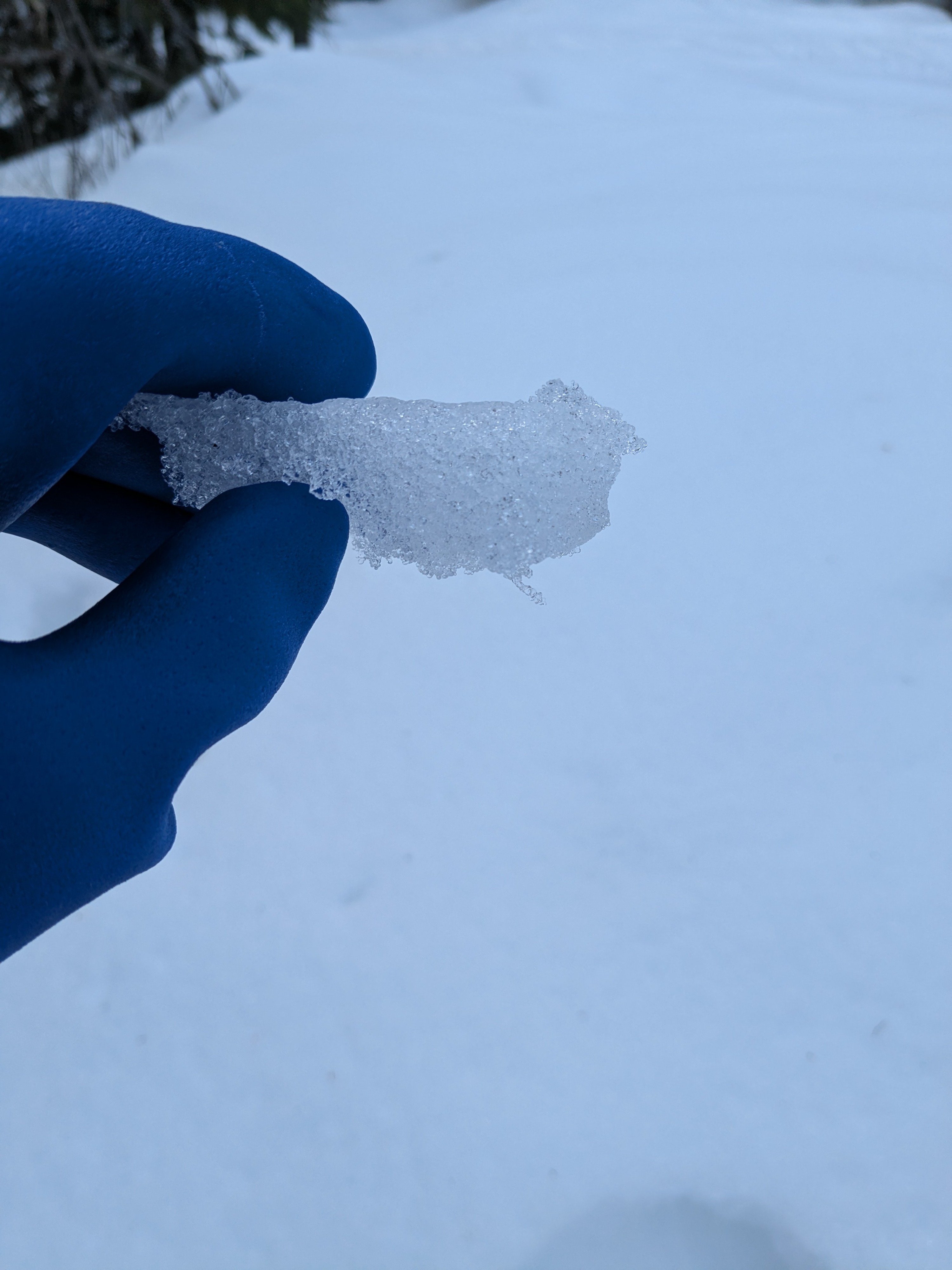
Last night's rain saturated the top 30cm of the snowpack at elevations observed from 4000' up to 6400.' The 3/28 crust was supportive to boot penetration throughout these elevations but has softened some since last week. The lower elevations were soft and punchy; boot penetration down to the 3/28 crust, and ski penetration 2-3" with a subtle refrozen crust that softened throughout the day. Starting at 5500', there was an inch of new snow with noticeably more solid upper snowpack. Around 6000', wetting depth had not quite reached the 3/28 crust. At our snowpit (6100', east/SE aspect, 245cm deep), there were 5cm of hard, refrozen windslab sitting over 5cm of wet, soft grains that had not refrozen. Compression tests had reactivity there (CT 11@~6cm down, SC) and also at the wetting front of the recent rain saturation (CT21@30cm down, SC). Shovel shear also indicated possibility of failure below the 3/28 in the weaker unconsolidated layers.
Avalanche
- Size
- D1.5
- Type
- WS
- Aspect
- E
- Trigger
- N
- Elevation
- 6200 ft
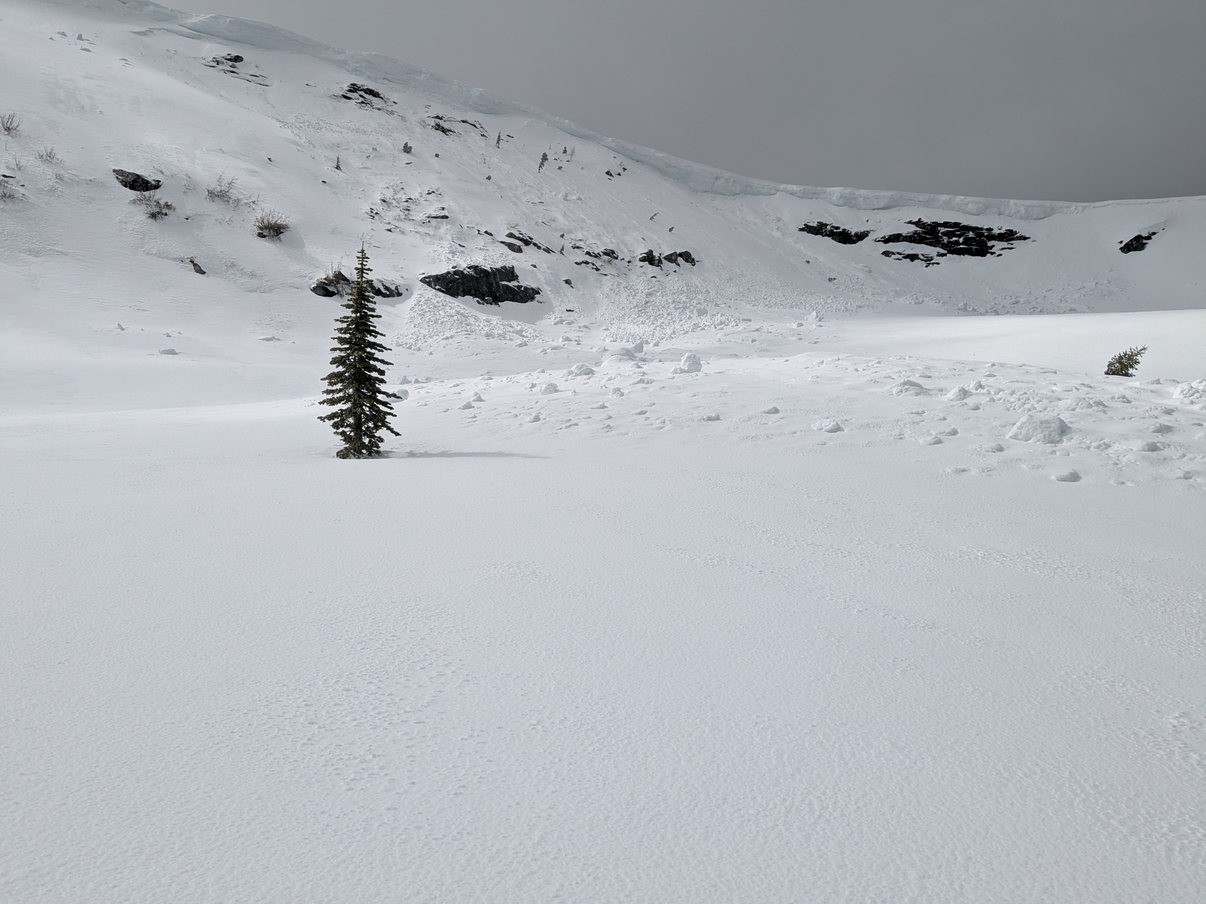
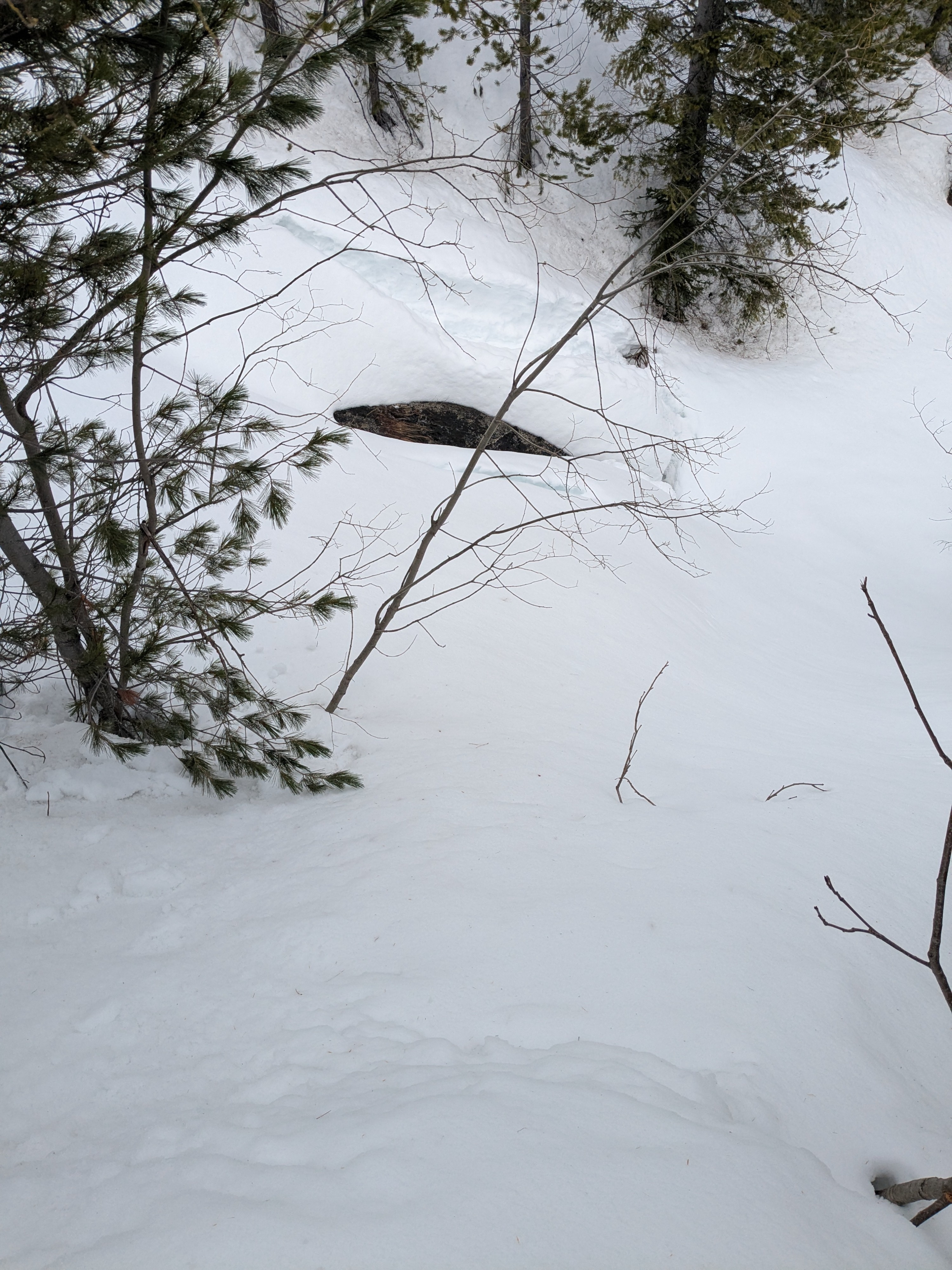
Shallow Wet Slab avalanche observed on the eastern face of Jeru Peak at 6300', which occurred since last night's rain - likely a wind-drifted dry slab that got soaked.