
Quick report
We toured east of Whitefish Mountain Resort to check on conditions ahead of the resort's closing weekend and the end of our daily forecasts on April 8th.
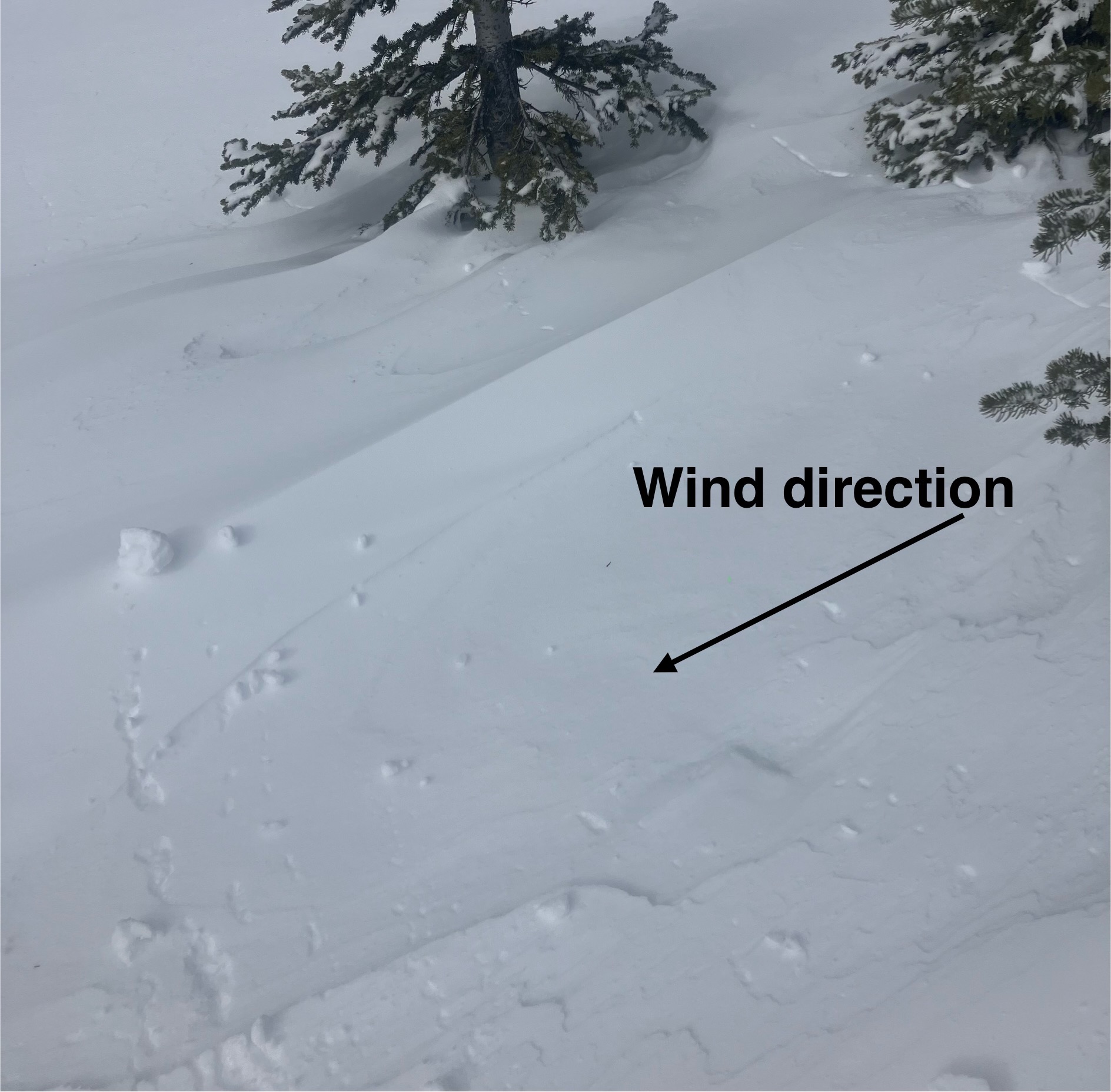
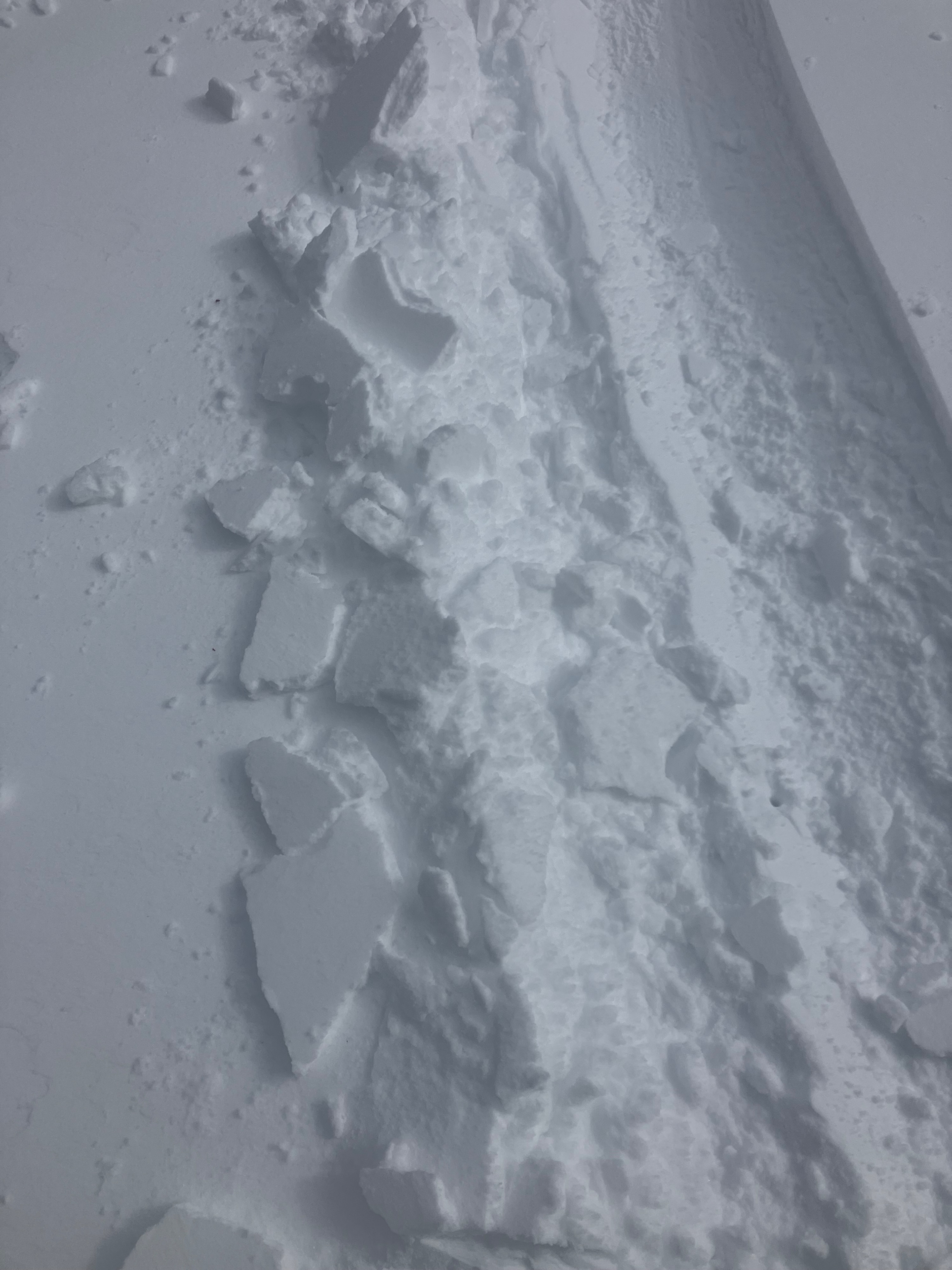
- Overnight northerly winds transported any recent snow into 3 to 6-inch slabs in atypical locations. These wind slabs were reactive to the weight of a person.
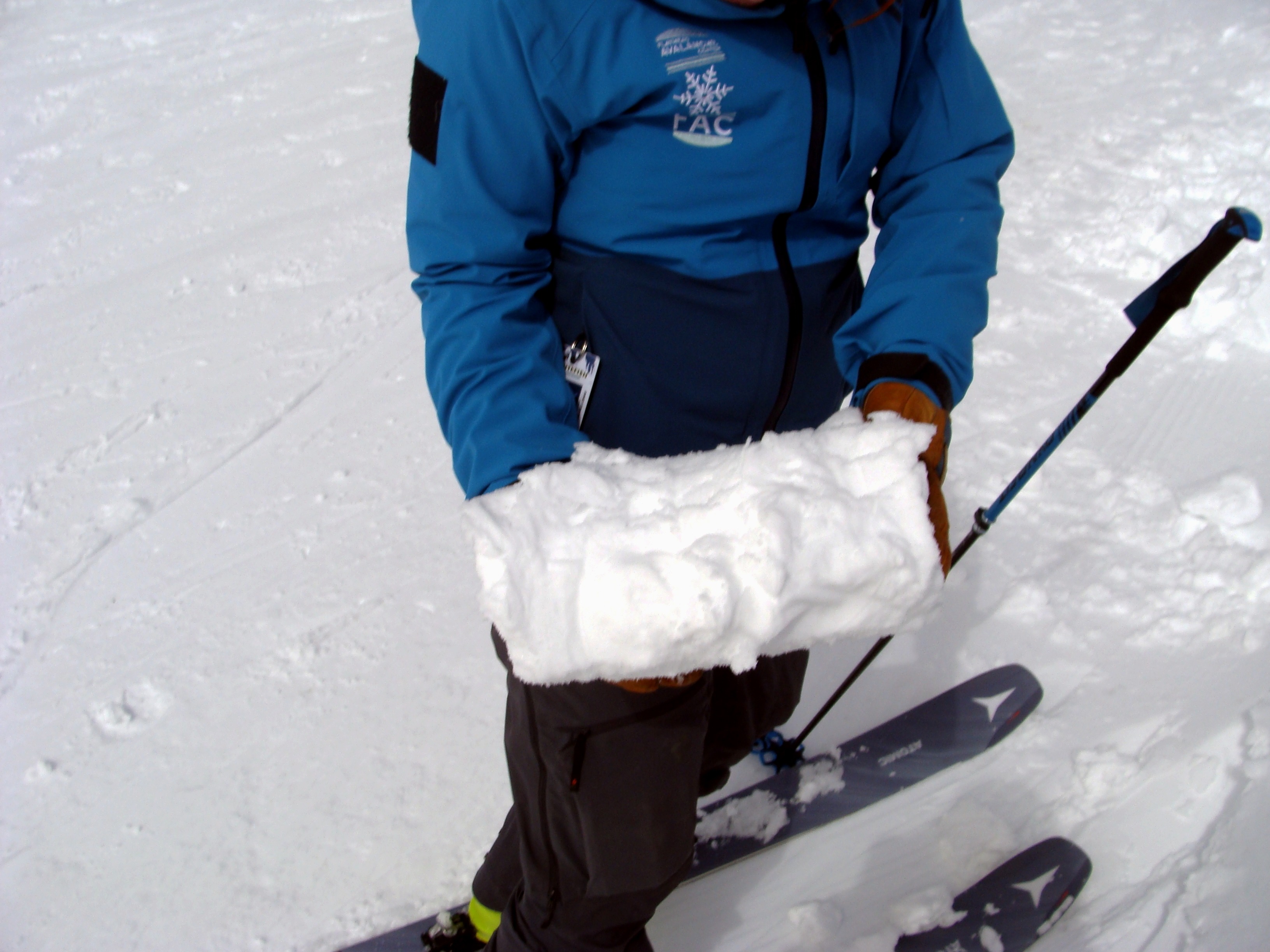
- Even with cool northerly winds, the snow's surface was moist by 11 am and we could not find dry surface snow after 2 pm on all aspects.
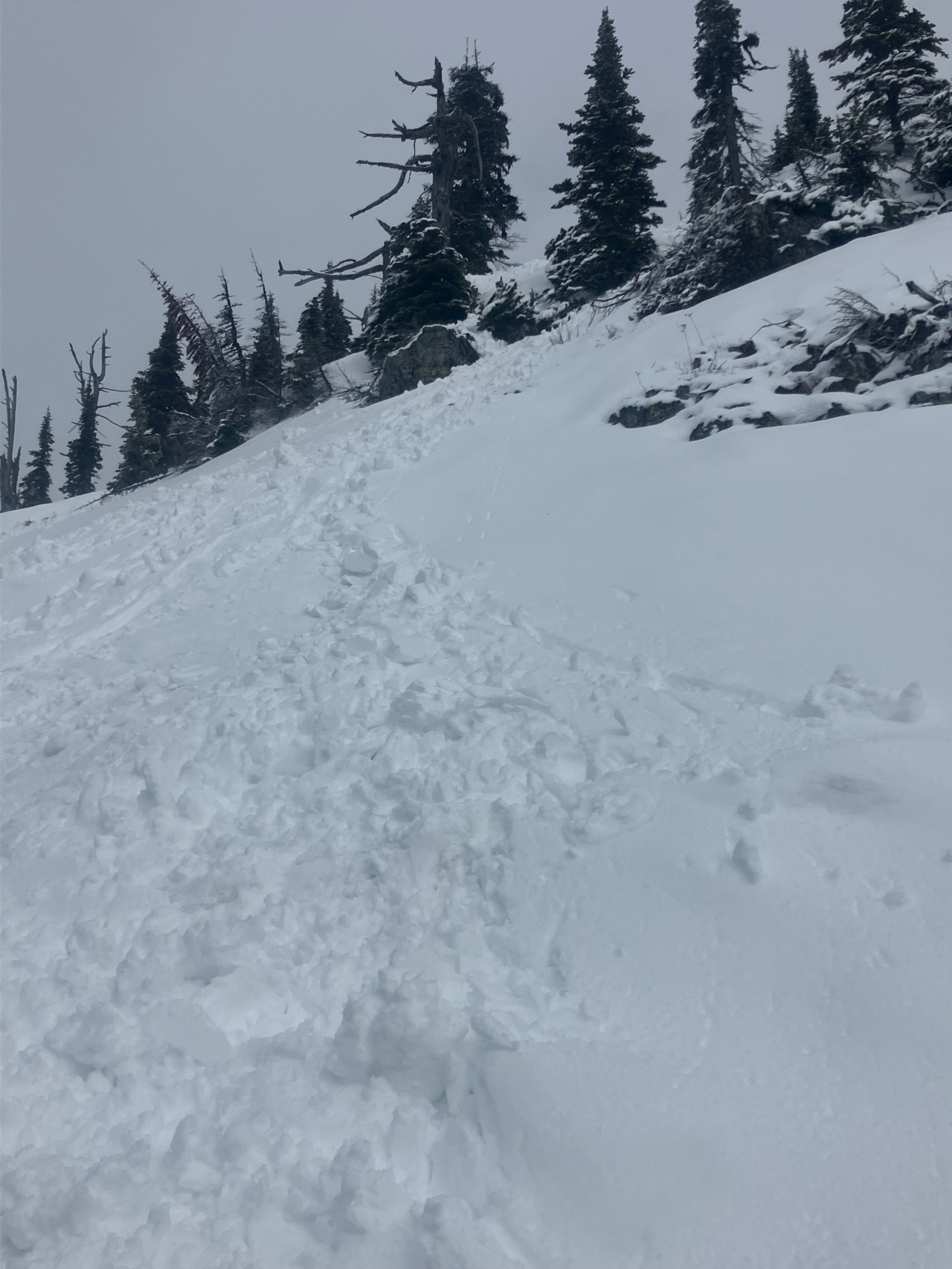
- Ski and boot penetration grew increasingly deeper throughout the day. Fields of rollerballs occurred on east, west, and north aspects.
- South aspects had evidence of older rollerballs and loose-wet activity from multiple days of warming.
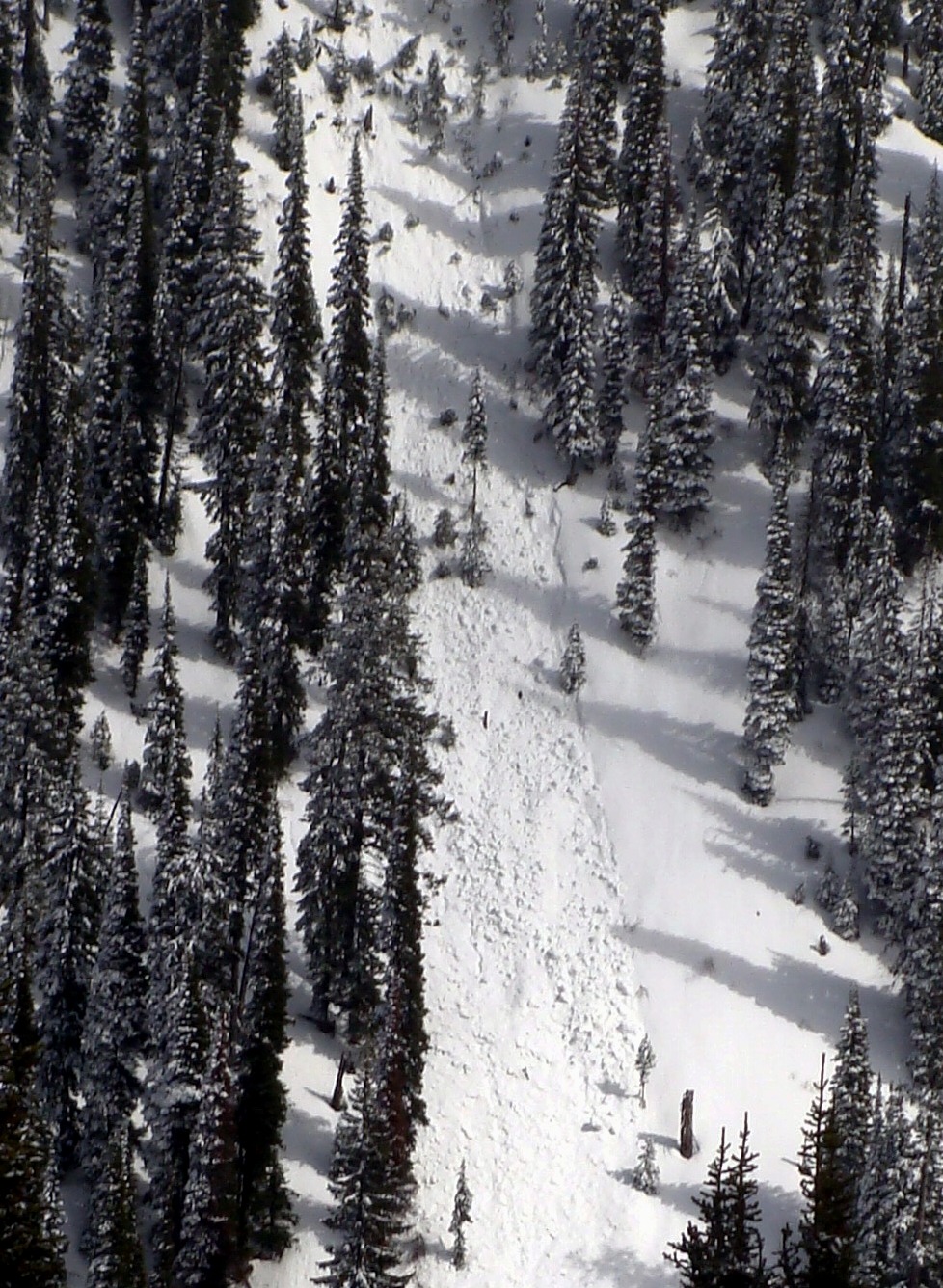
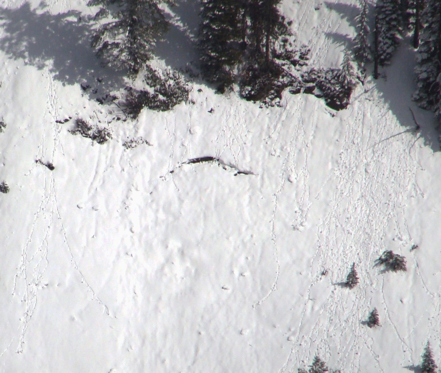
- Steep southerly slopes held multiple generations of loose wet avalanches. One small glide crack was observed on the same aspect.
- We were surprised at how fast ski conditions changed for the worse. We resorted to survival skiing in the sticky, sloppy, and sinking snowpack.
Weather
- Air Temp
- 30 to 35
- Cloud Cover
- broken
- Wind Loading
- previous
- Rain Elevation
- 4500
- Recent Snowfall
- 5 cm
- Snow Avail For Transport
- none
Mostly cloudy skies, with some periods of sun. Northerly winds were stronger in the morning, with mostly calm winds in the afternoon.
Snowpack
Snow profile at 6600 feet NE aspect
- HS: 220 cm
- 4 cm new snow transitioning from moist to wet. Fist-hard snow above Equinox crust.
- 2 Melt-freeze crusts with 1 finger-hard moist snow between the crusts.
- Equinox crust- 30 cm from the surface, pencil hard, 5 cm thick
- Early February crust-100 cm from the surface, 1 finger + hard, 15 cm thick
Avalanche
- Size
- D1.5 R2
- Type
- WL
- Aspect
- SE
- Trigger
- N
- Elevation
- 6000 ft
Multiple generations of loose wet avalanches were observed on steep southerly slopes.