
Weather
Uncomfortably warm, light to almost non existent winds up to 10, 200'. Early afternoon skies became overcast with a thin cloud layer.
Snowpack
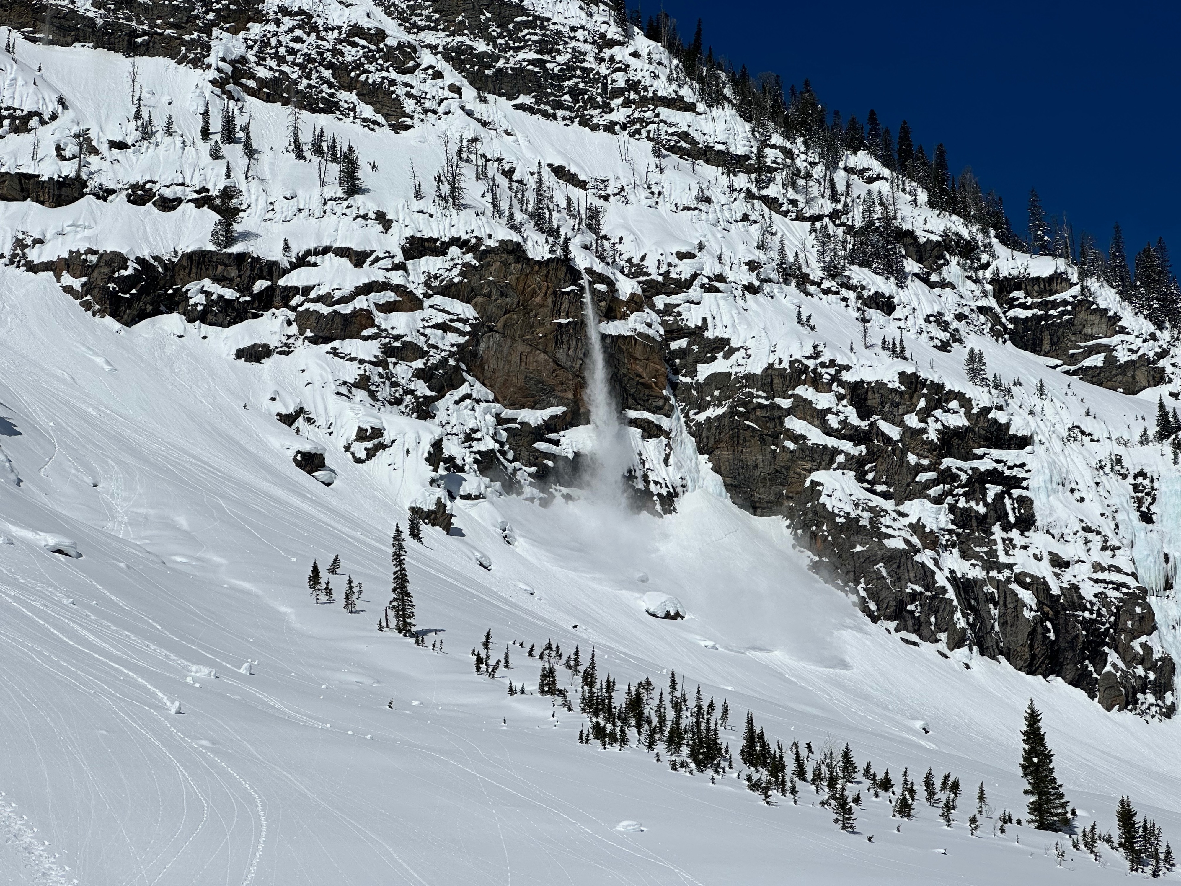
Wet loose was abound today on east and south facing, especially in very rocky areas. Today's warm up was much faster and it easily provoked the shedding in the absence of much wind. Wet loose was also noted in this area yesterday. Our group had to bail on the first objective since it began to start roaring snow into the couloir. Of note the roaring continued in various locations through the afternoon - quite the show. Found an old avalanche that ran during the last storm cycle - 10,250' ESE D2.5 R3, ran full track to the valley (perhaps a wind slab that failed on the uppermost pwl layer of 3/29). I also observed two small D1 naturals on NE in the mid-elevations on a slight hardness change - where weak snow was preserved in a typical cold hollow location. No new wind slab formation today.
The snowpack is undergoing some rapid changes, this may be delayed a bit tomorrow with cloud cover. However, Sunday and Monday it will really be tested given the forecasted temperatures.