
Quick report
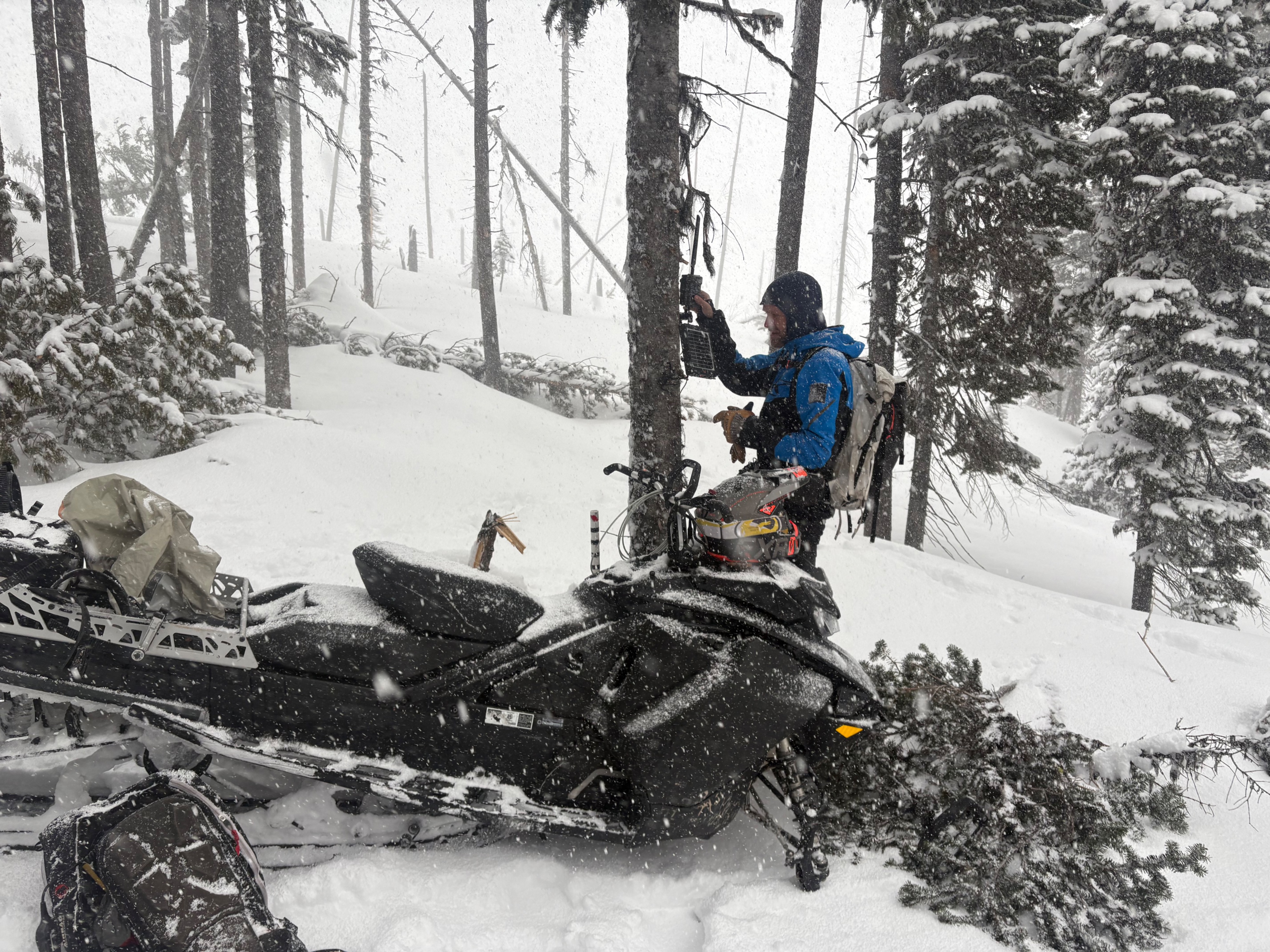
Today we deployed the snow camera up near Beta Lake. This will help track precipitation totals in the northern Swan Range. We were pleasently surprised to be greated with 5 inches of new snow overnight and ended up with an honest storm day.
- Periods of heavy precipitation rates. 6 to 8 inches of new snow fell by about 11 AM.
- Observed active wind transport during peak snowfall this morning.
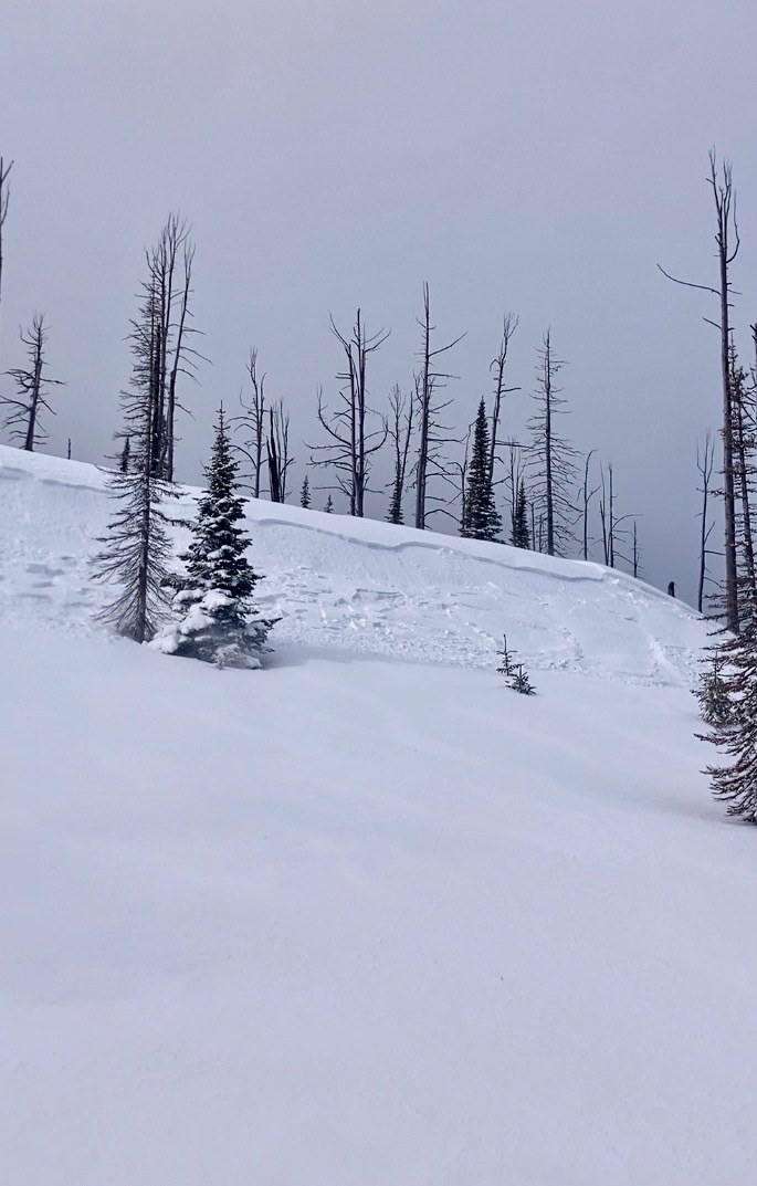
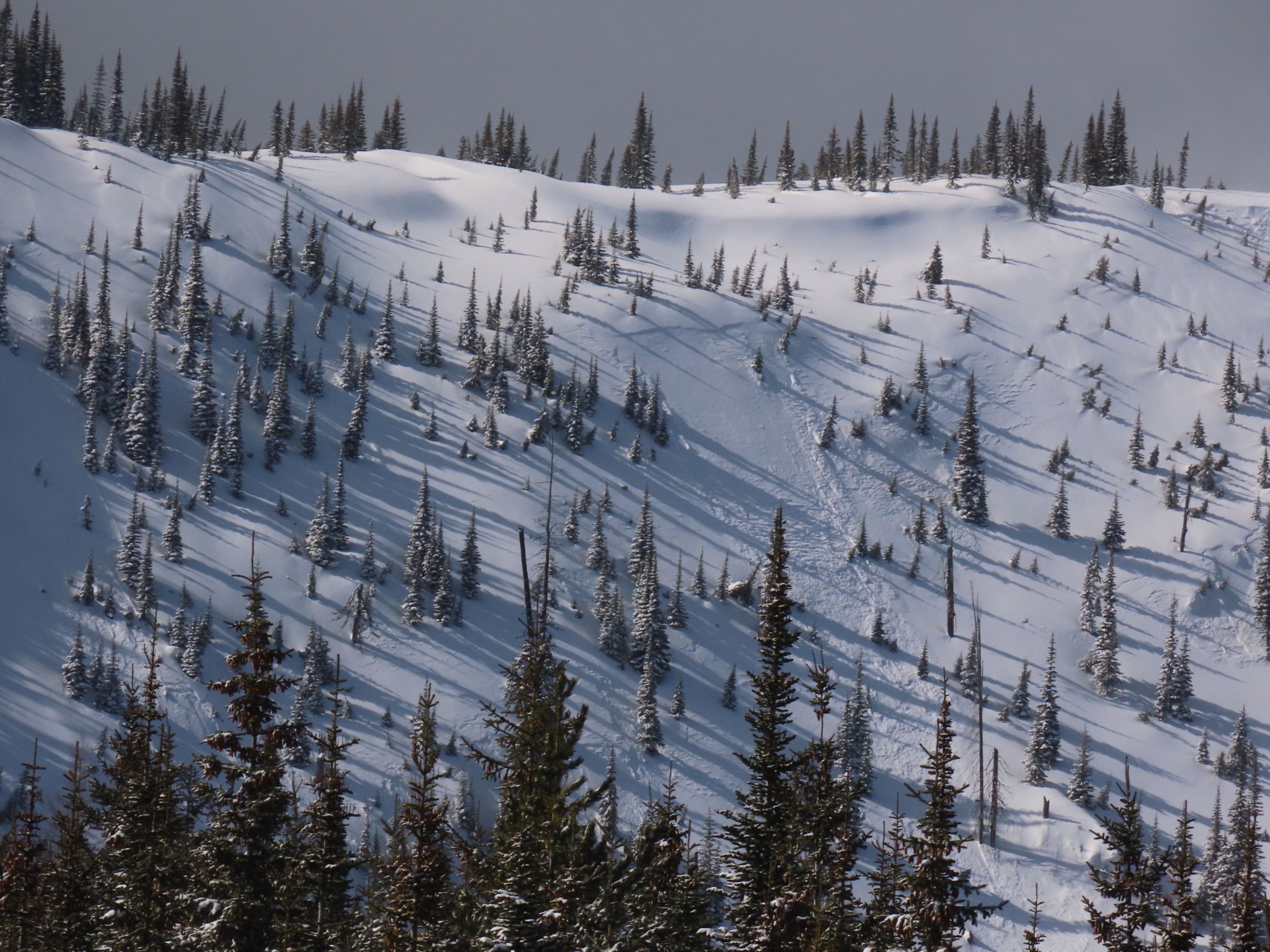
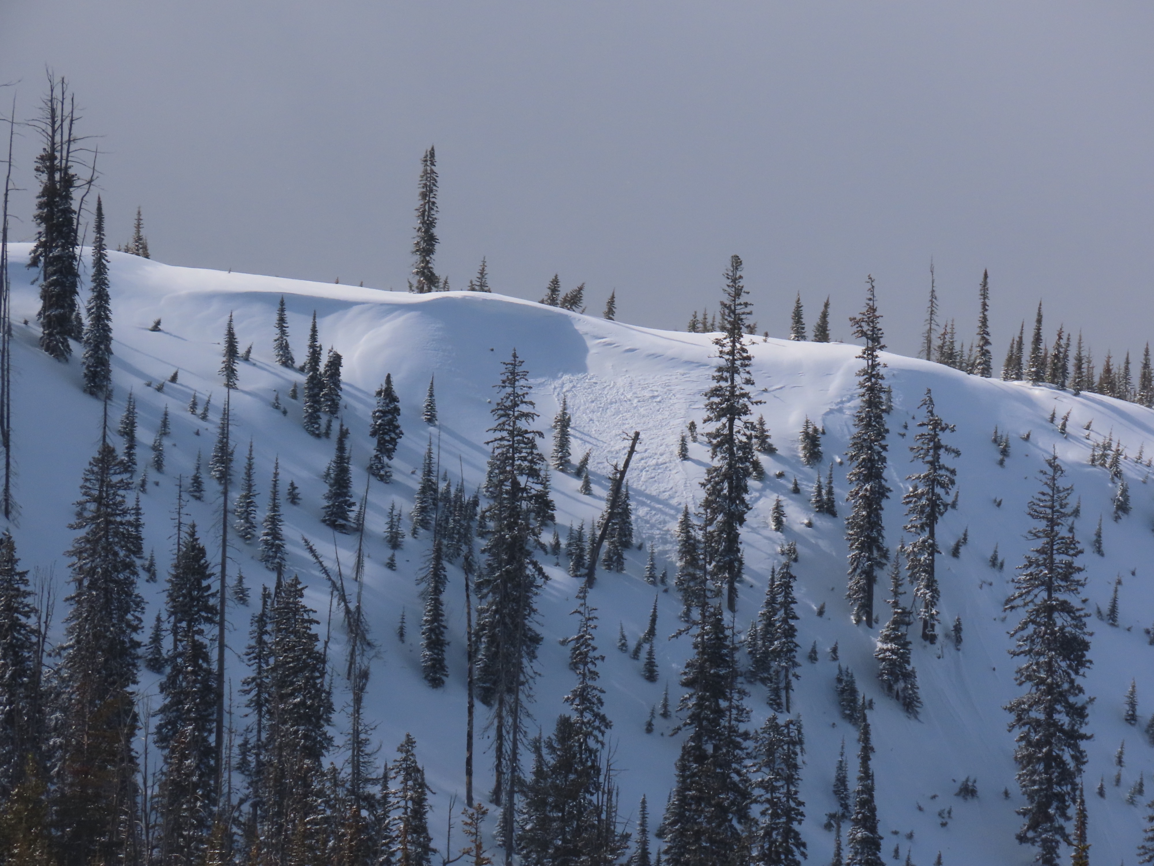
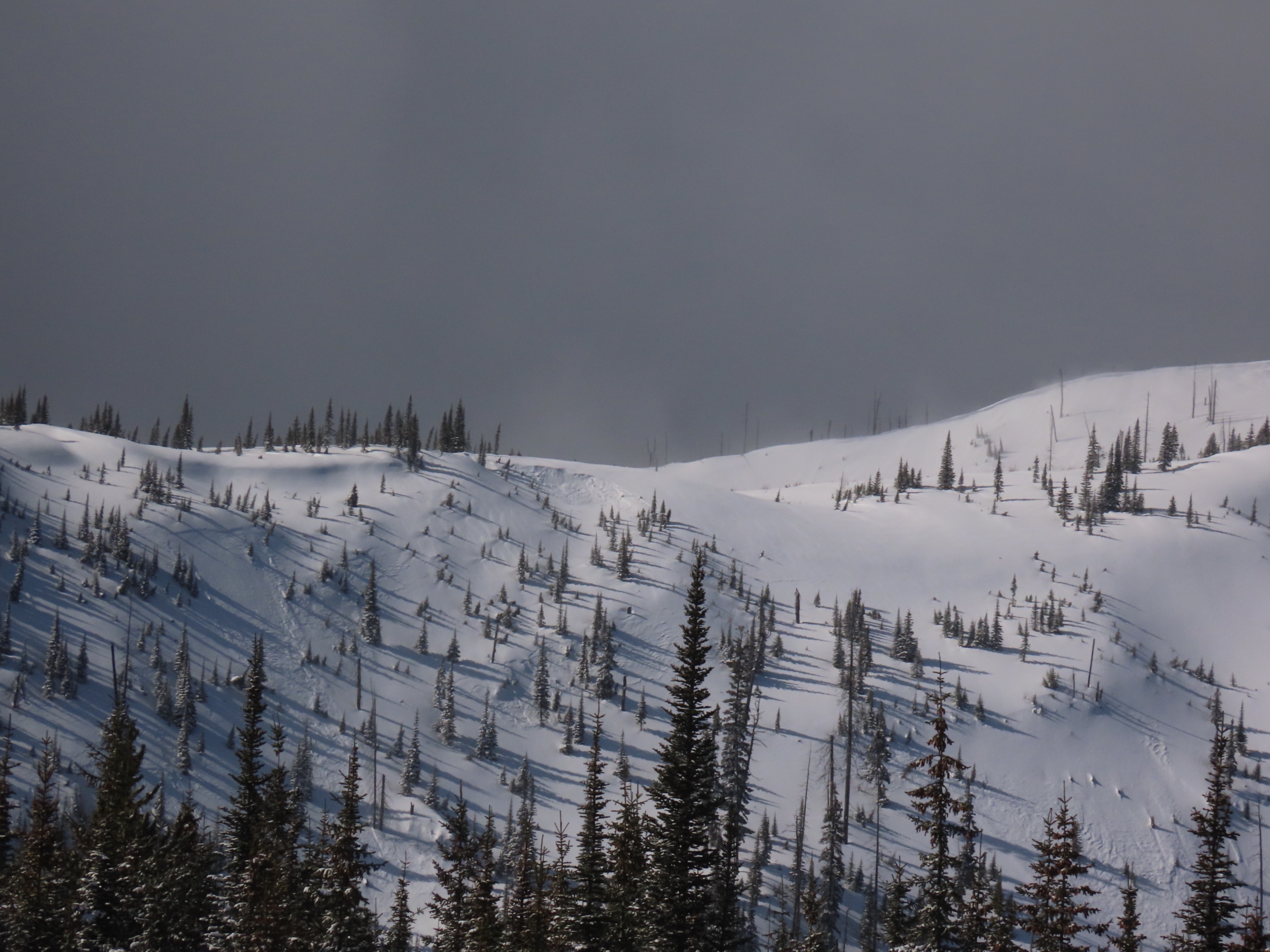
- We found one very recent soft slab avalanche that failed on a wind loaded slope. This likely occurred while we were out in the morning. The avalanche was small (D1).
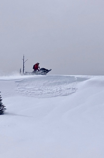
- We triggered one small wind slab. See video below.
- The crust beneath the most recent snow is VERY hard and supported the weight of a machine.
Weather
- Air Temp
- Below Freezing
- Wind Loading
- light
- Recent Snowfall
- 15
- Snow Avail For Transport
- small smounts
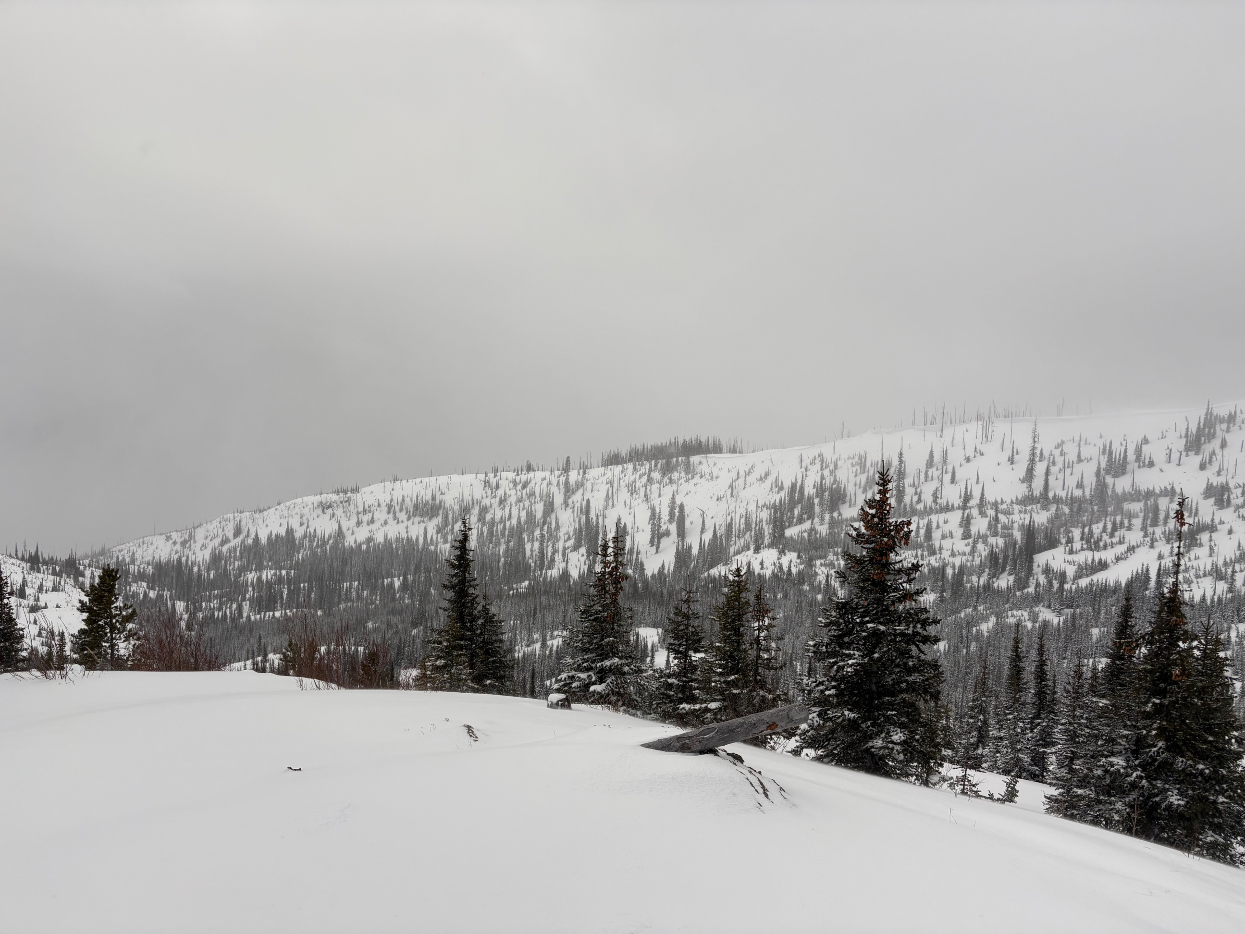
Classic spring storm day. Morning started off with periods of heavy snow and moderate winds. Precipitation rates of S5. Cloud cover broke around lunch and we got a few hours of sunshine.
Avalanche
- Size
- D1
- Type
- SS
- Count
- 2
- Aspect
- E
- Trigger
- AM
- Elevation
- 6000 ft
Avalanche activity was all small soft slabs.