
Quick report
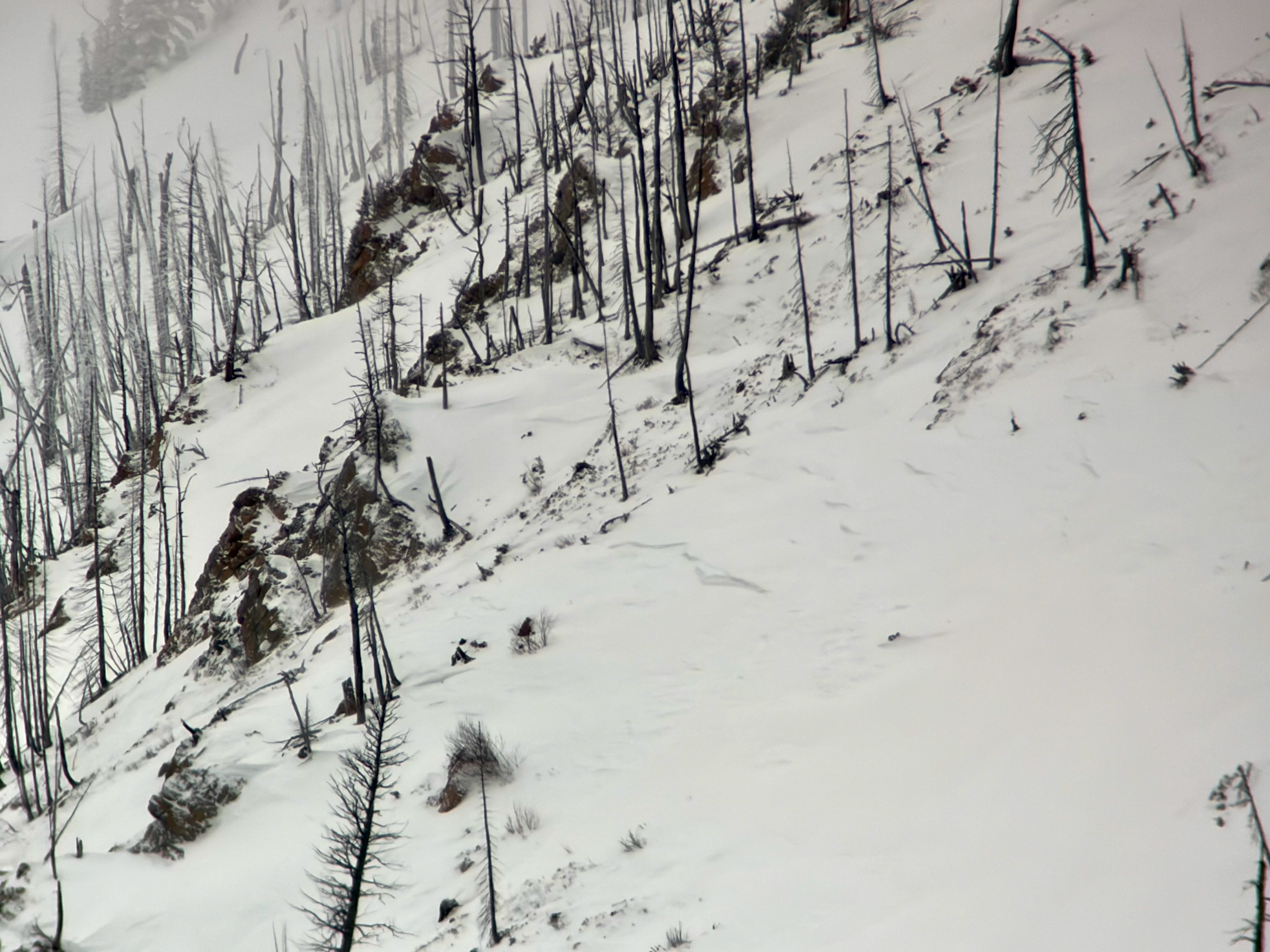
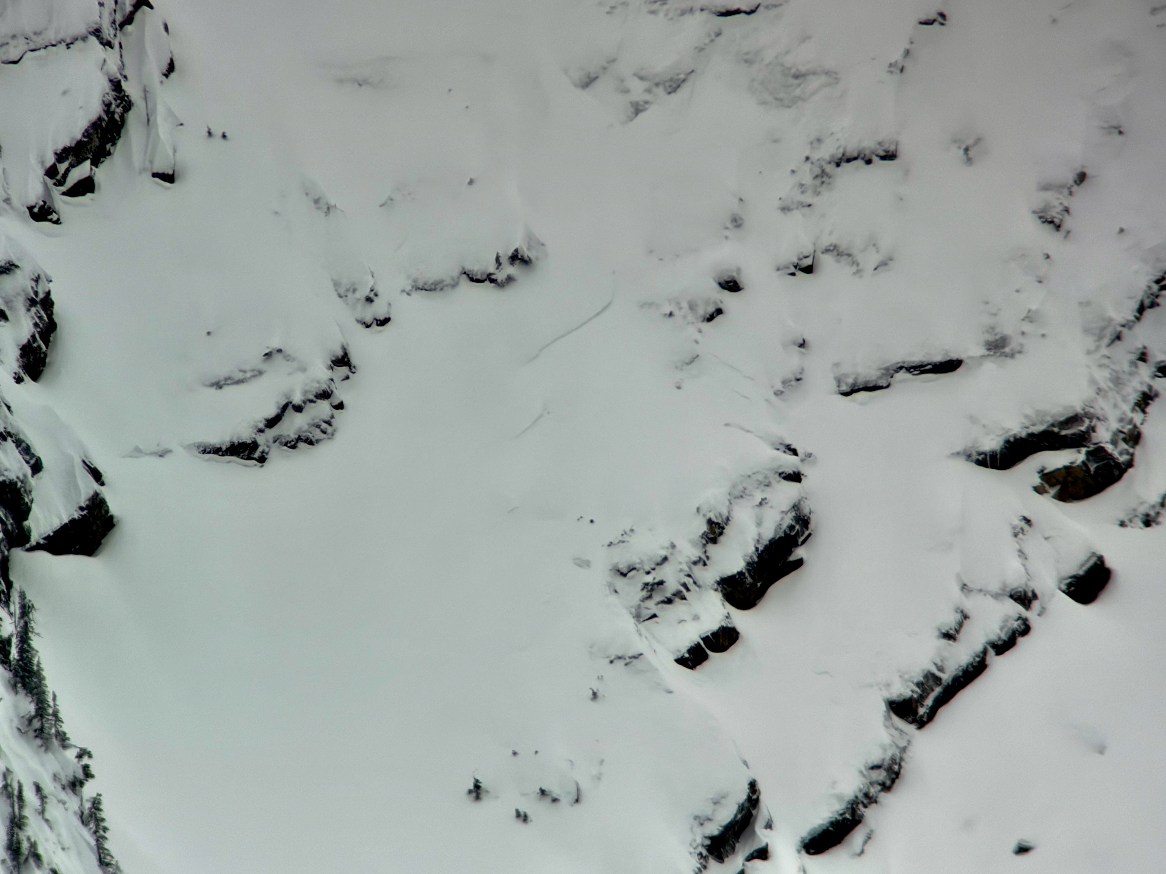
Glassed the Flathead Range alpine from Essex to West Glacier on HWY 2. Recent avalanches were observed on varying aspects and elevations.
•Numerous fresh debris piles observed under steep terrain where avalanche crowns were obscured by terrain or cloud. Debris piles were on the smaller side (D1-D2) and mainly in steep terrain around Mt. Penrose/Skiumah Creek.
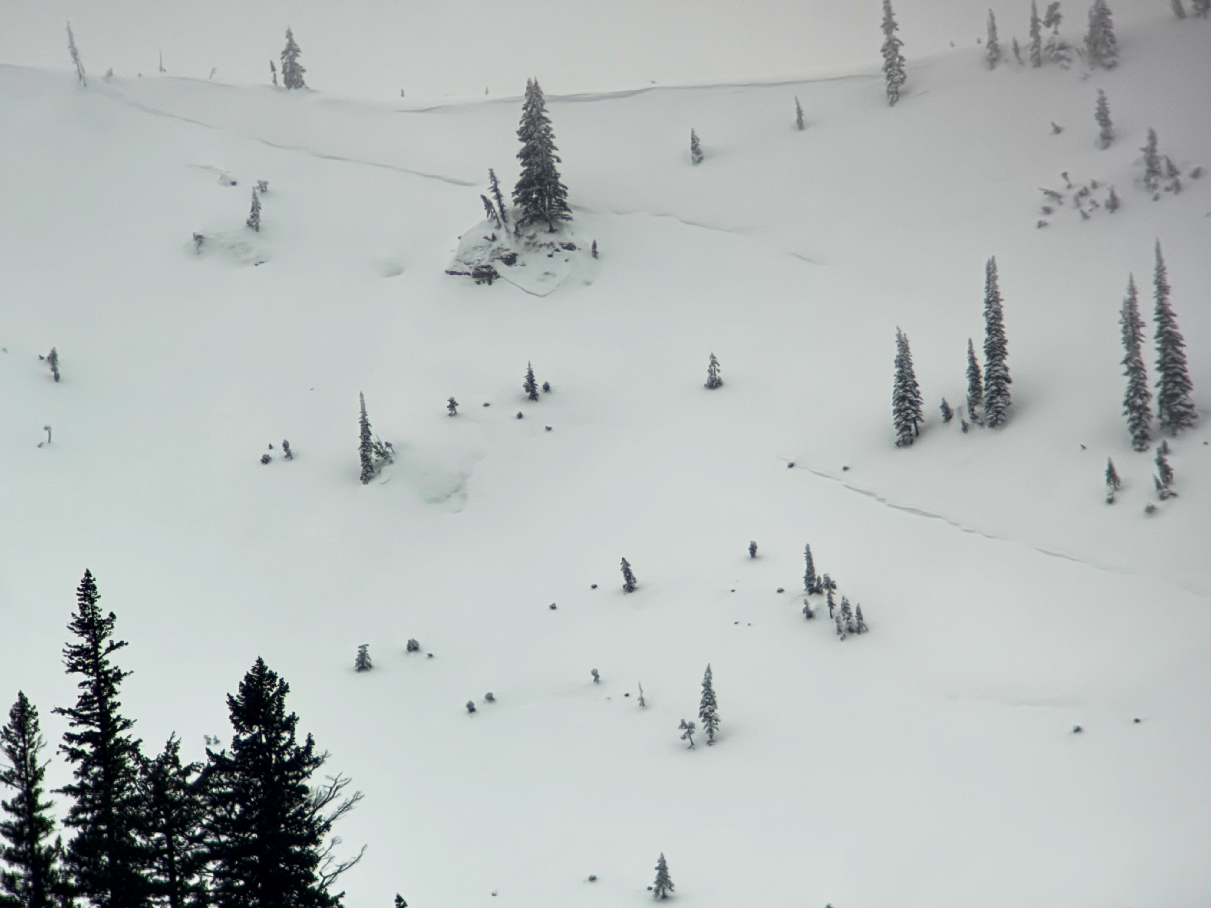
•One larger, widely propogating (~150ft) slab avalanche (D2) crown was partially filled in (likely from last nights storm (~5" recorded at Tunnel snow site)). Would estimate the slide to have occurred during the late PM hours of 2/1.
•Pulses of rain (lower elevations) and snow (upper elevations) occurring throughout the day. Snowline estimated at 6000'.
Weather
- Air Temp
- Below freezing (above ~5500')
- Cloud Cover
- overcast
- Wind Loading
- light
- Recent Snowfall
- ~12cm
- Snow Avail For Transport
- small smounts
Avalanche
- Size
- D2
- Type
- HS
- Count
- 2
- Aspect
- NE
- Trigger
- N
- Elevation
- 7200 ft