
Quick report
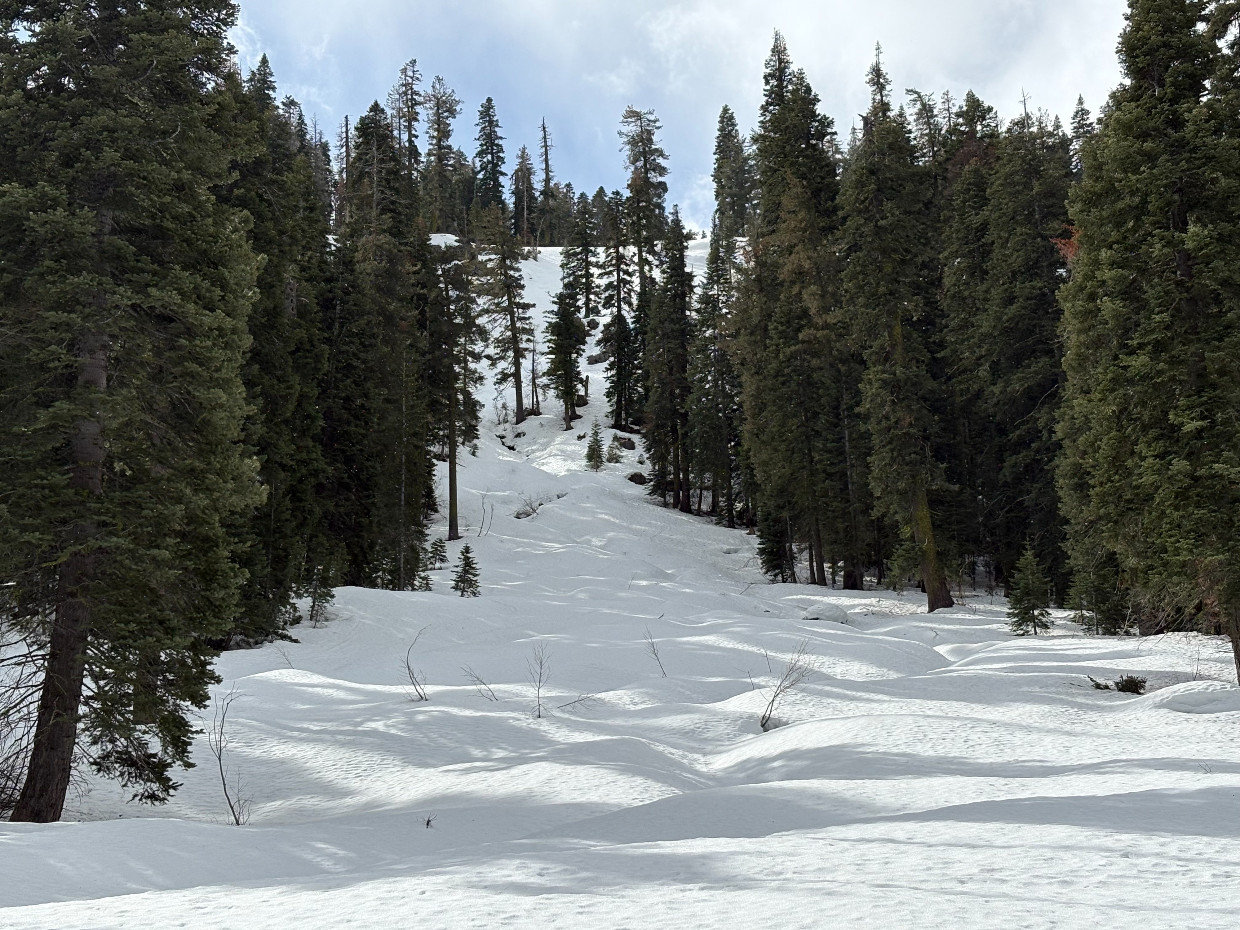
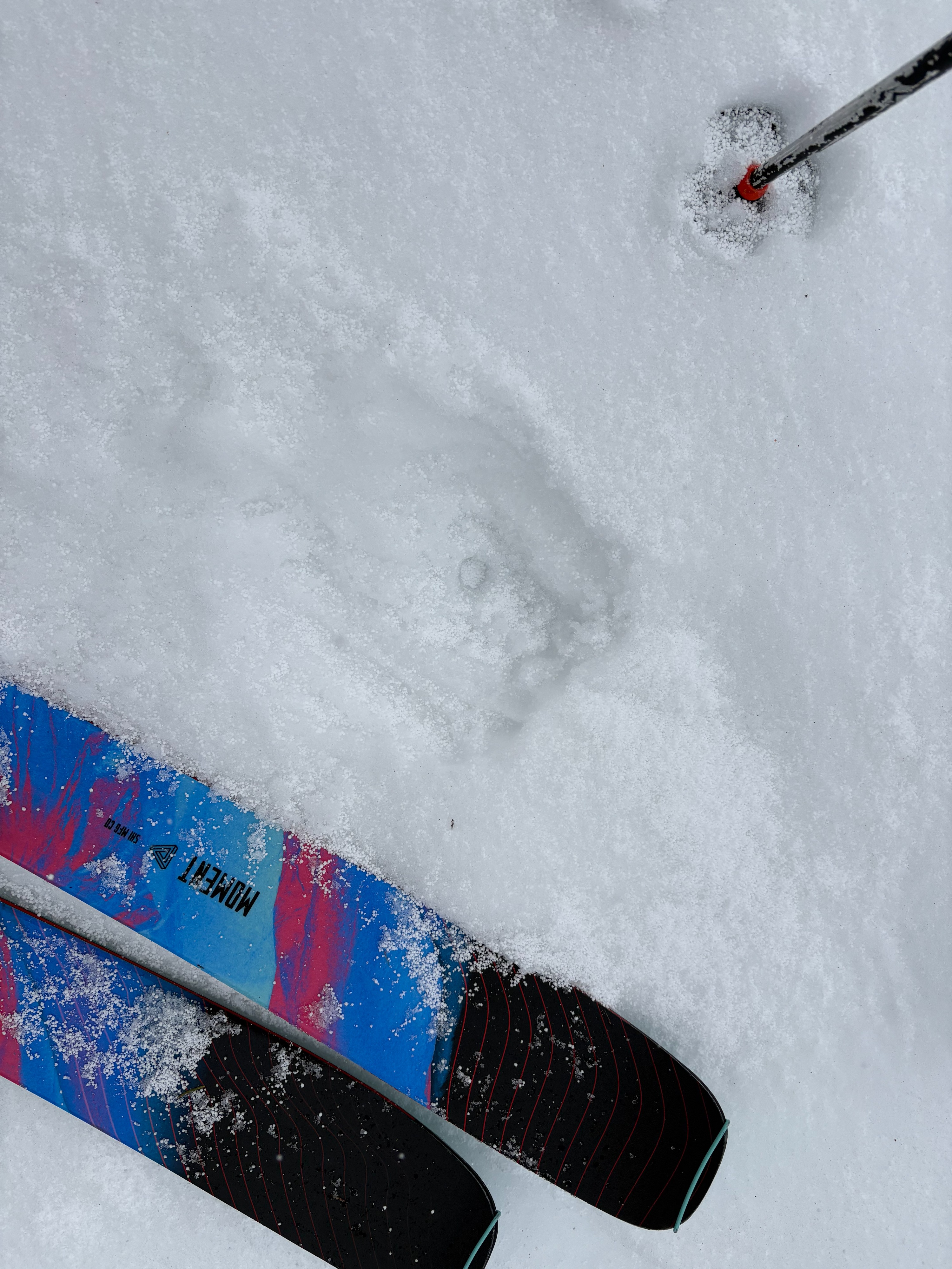
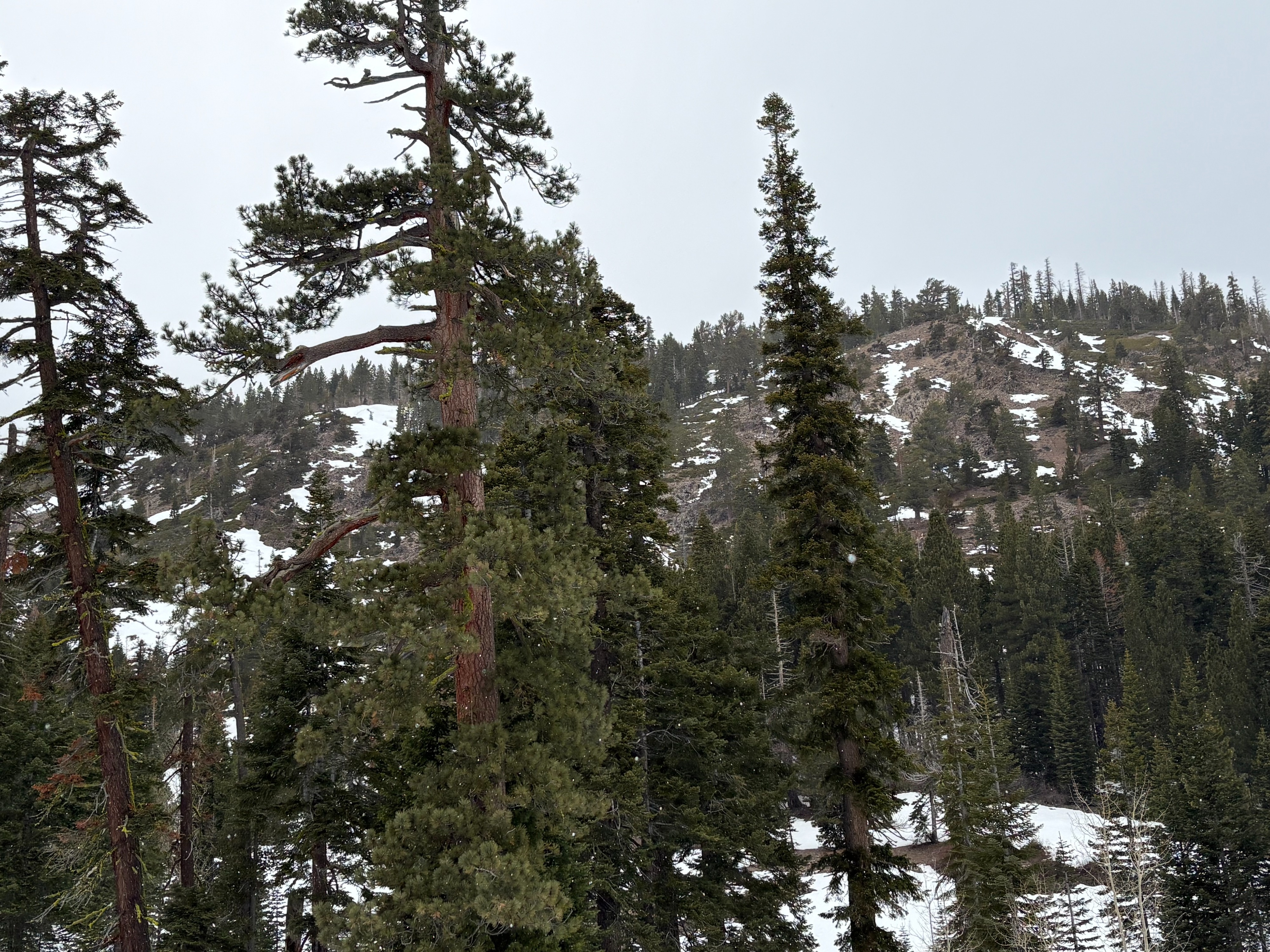
The incoming weather with colder temperatures, light snow, and increased winds did not provide a lot of good options today. We went into Deep Creek looking for low elevation, wind protected, S-SE aspects that could soften before the storm arrived. We found some descent soft snow on southerly aspects where snow coverage existed. This area, like most other south aspects in the forecast region, have lost much of their snow coverage and do not have consistent top to bottom snow in the 7000-7600' range. With the weaker overnight refreeze of the snow surface, we ventured over to northerly terrain. Lower angle slopes and any areas that received early morning sun had some edgeable and relatively smooth snow surfaces. But steeper slopes and elevations above 7500' were mostly firm with a light dusting of graupel from the morning snow showers.
The Deep Creek road has good snow coverage. There are multiple water features/crossings, similar to other areas, but provides an easy in and out at this point.
Weather
- Air Temp
- Near freezing
- Cloud Cover
- broken
- Wind Loading
- none
- Recent Snowfall
- Trace
- Snow Avail For Transport
- small smounts
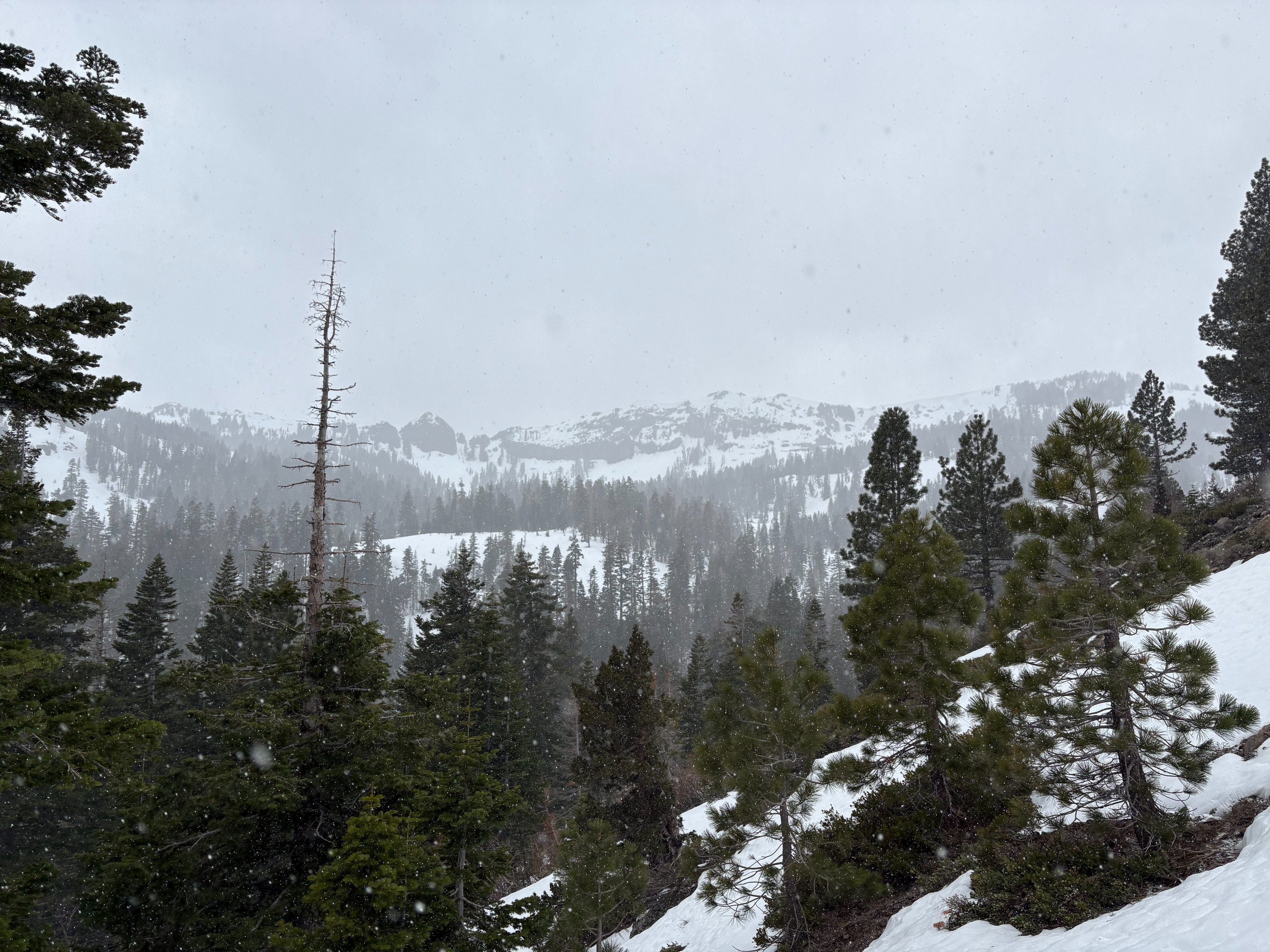
Increasing clouds this morning over the Sierra Crest. Light convective snow showers started around 10:30am and continued for about an hour. Winds were light to moderate in treed terrain.