
Quick report
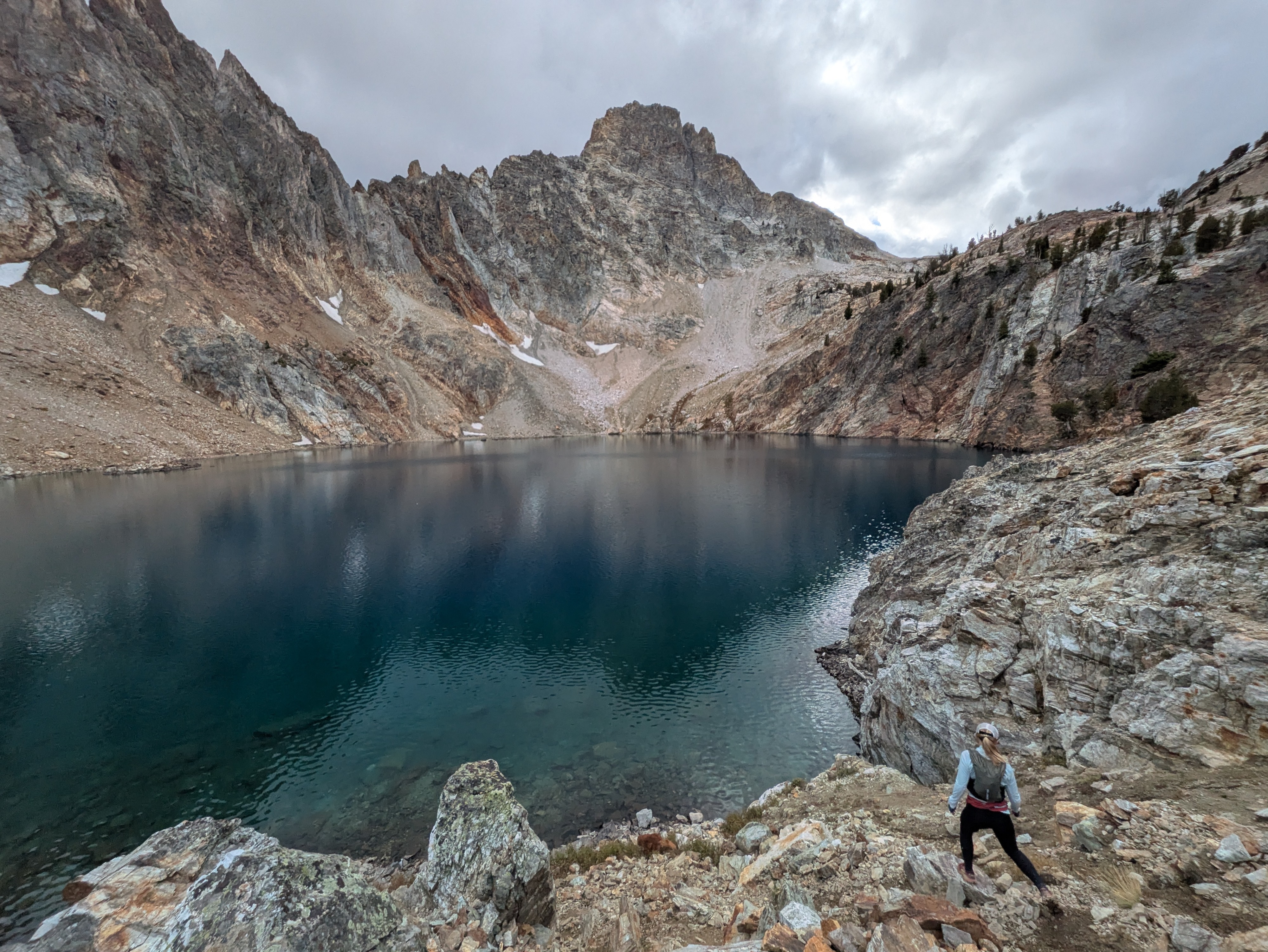
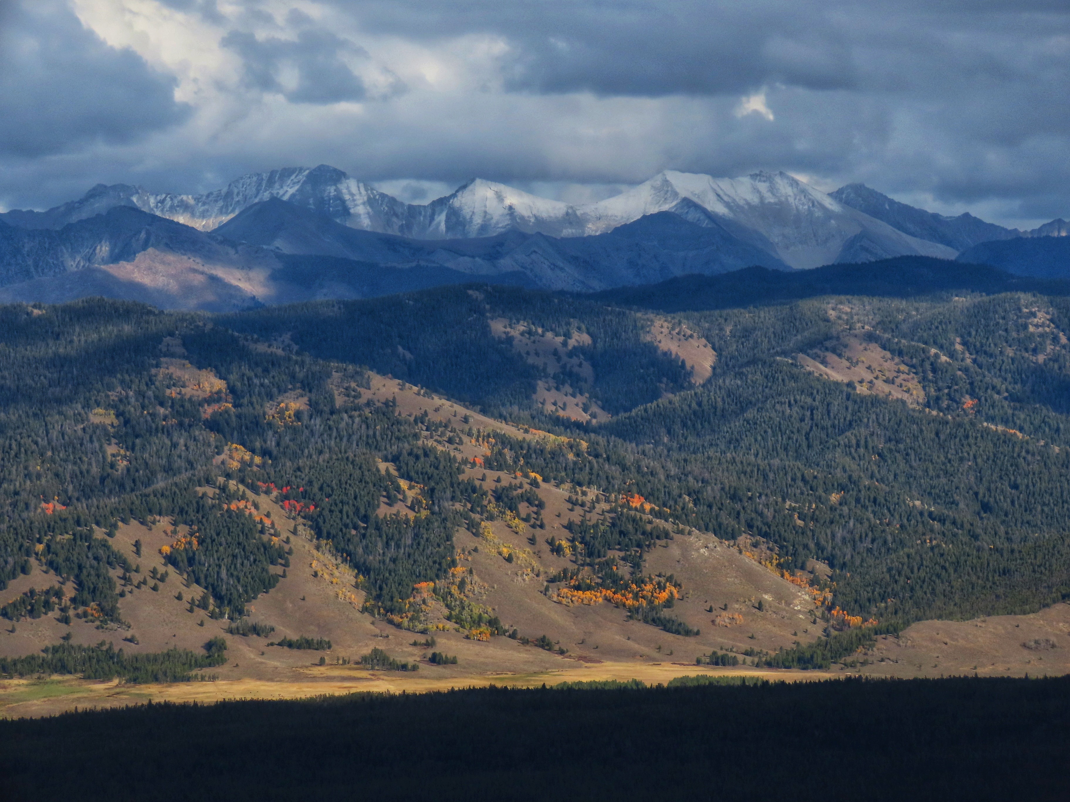
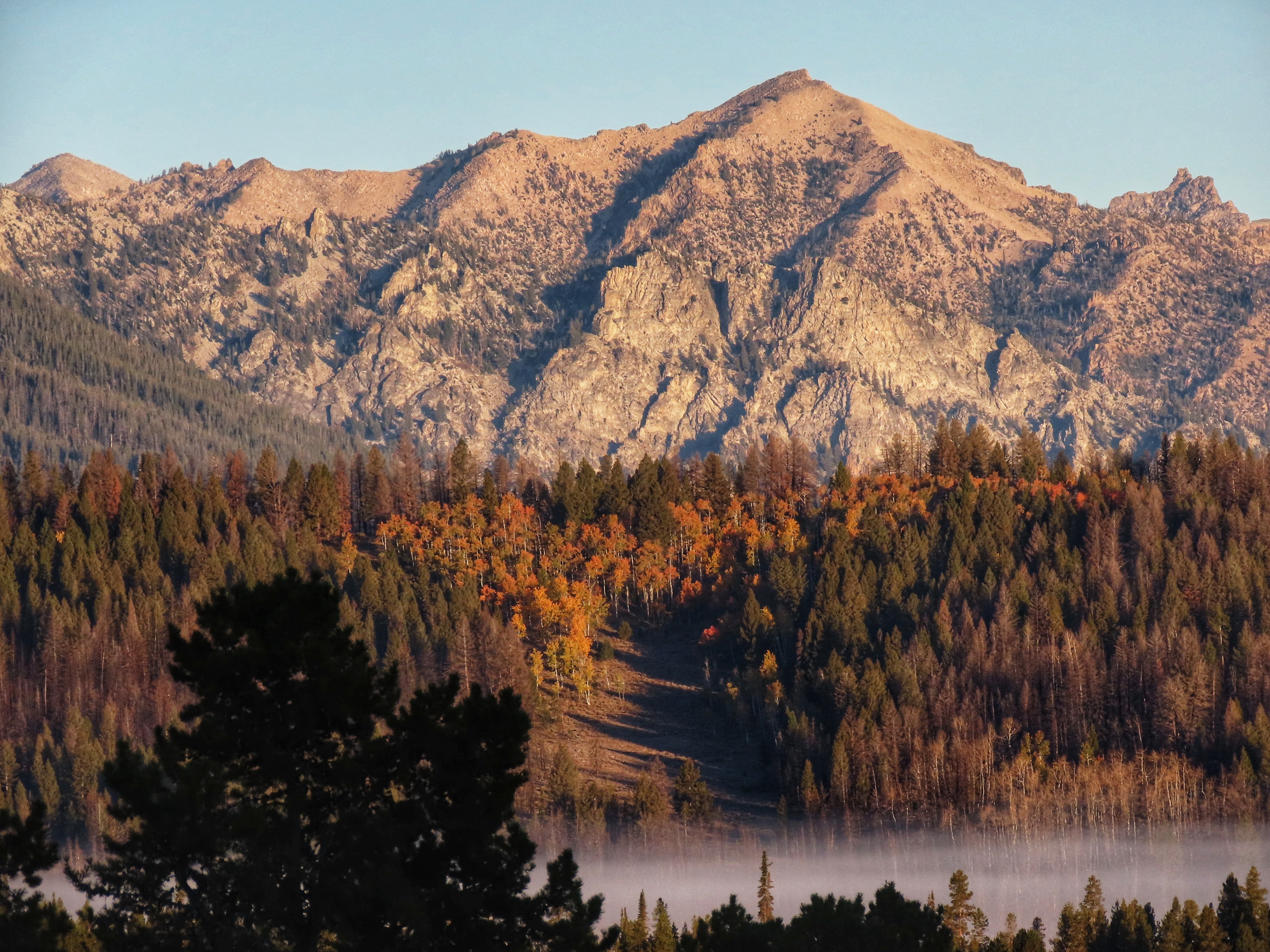
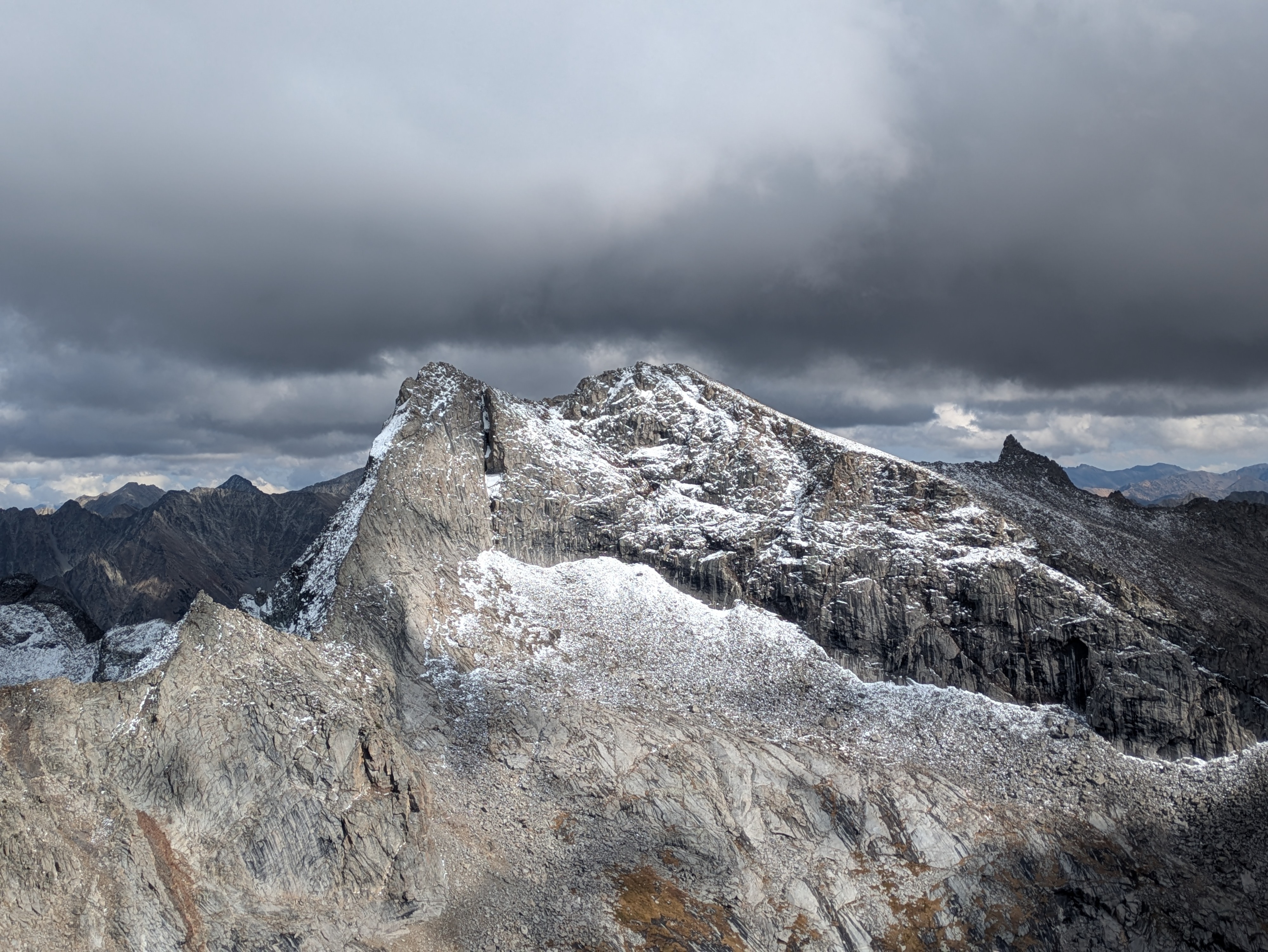
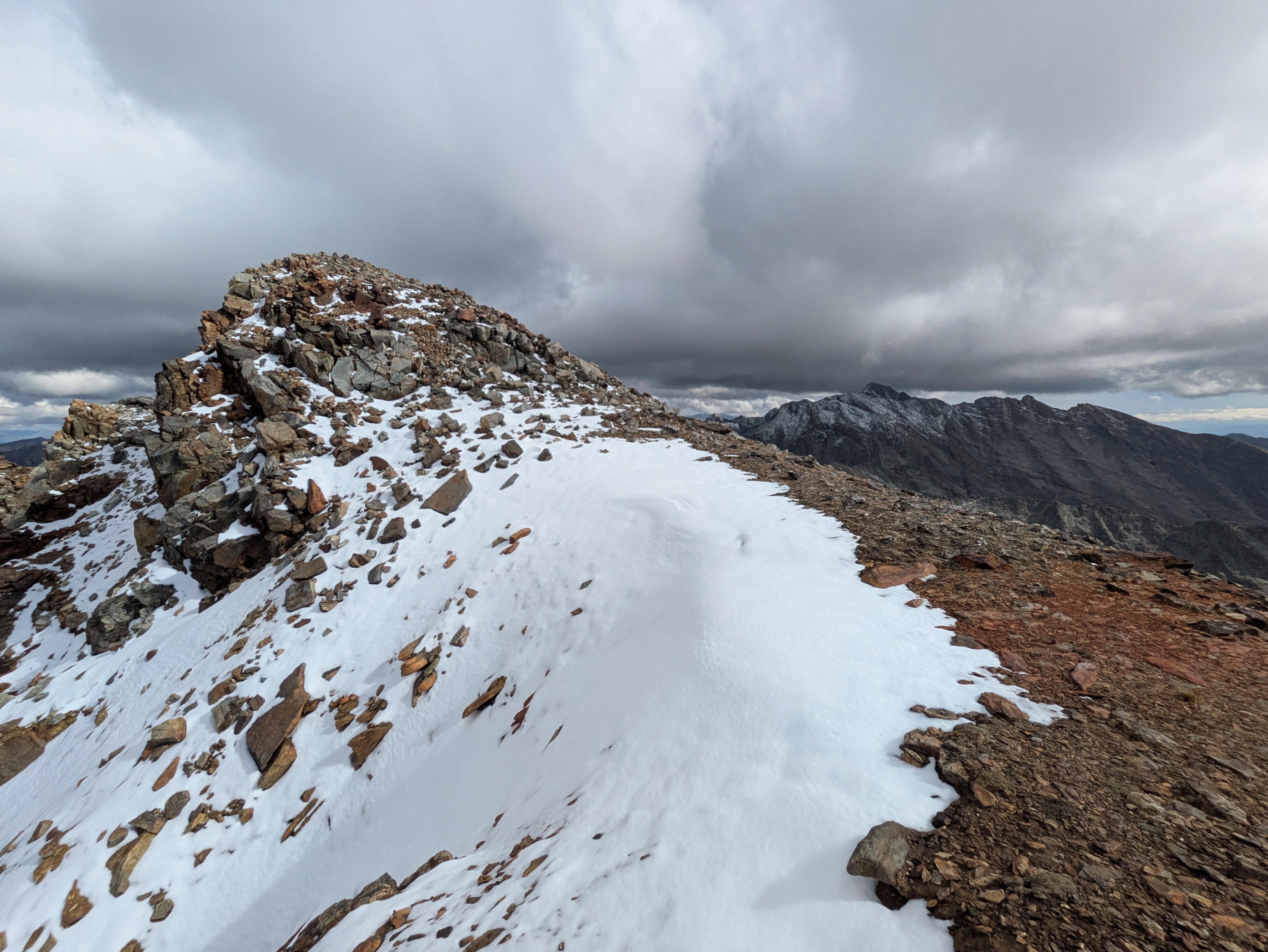
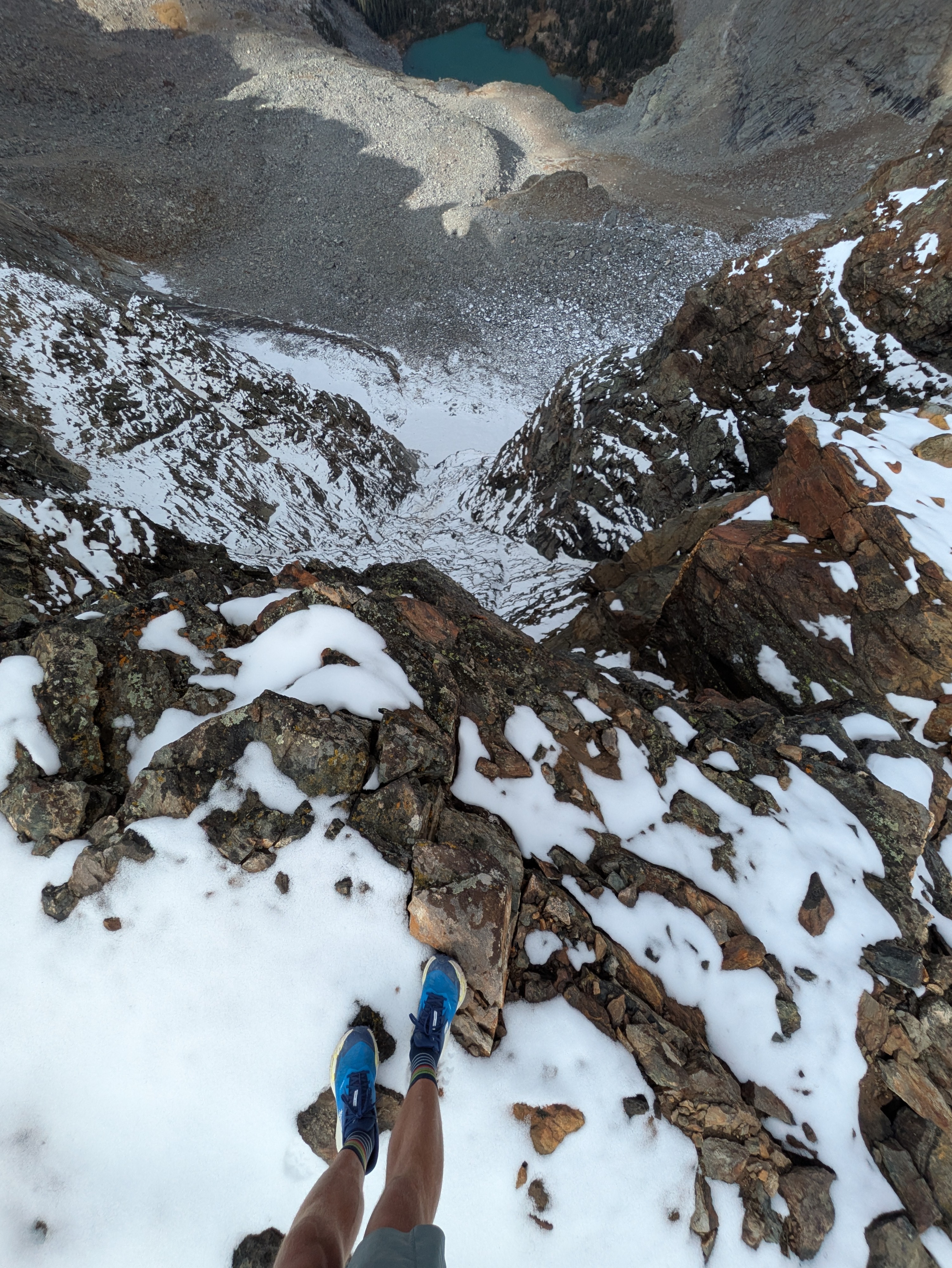
I attached a few photos to supplement this observation, scroll down to find them. Probably worth looking at them and then reading this. OVERALL: We are starting to build the foundation for the season on shady slopes at the highest elevations. There are not very many starting zones that have snow in them, but the ones that do may behave differently than areas that are currently dry as the early season progresses. WEATHER: Rounds of storms at the end of September and beginning of October brought valley rain and upper elevation snow to the mountains of central Idaho. Precipitation intensity was quite high at times (>0.25" of water per hour in places), resulting in many localized washouts on trails and in steep terrain. Rain/snow lines hovered around 10,000-10,500+' for much of this period and temperatures remained relatively mild (most weather stations were not recording freezing overnight temps). The rain/snow line came down to ~8,000-8,500' overnight by the early morning of 10/6 as temperatures dropped. SAWTOOTHS: on 10/5 there was a very minimal amount of new snow in the highest portions of the range on cold, northerly slopes. The places where this is most obvious are where small blobs of old snow from last season stuck around under cliffs/couloirs/etc. On the morning of 10/6 there was no new snow visible from the valley on solar aspects up to at least 10,000'. Aside from areas with snow left over from last season, the range feels functionally dry from an avalanche perspective. WHITE CLOUDS/BOULDERS/PIONEERS: Residual heat and direct solar radiation were doing a good job of melting back snow on solar aspects (SE-S-SW-W) between storms. Below ~10,500' there was no snow on these aspects as of 10/4. Above this, shaded aspects were gradually accumulating a thin pile of very dense, wet snow. This snow was beginning to fill in the roughness in the terrain, particularly in areas where the wind had piled additional snow during storms. Prior to 10/5 you had to get up to nearly 11,000' before you'd find much accumulated snow. Here, the snow was very dense and wet, and refroze into a strong, icy, crusty mishmash as temperatures dropped on the evening of 10/5. Based on how strong/icy this snow became after refreezing, it is likely to be sticking around. Snowfall on the evening of 10/5 and early morning of 10/6 was much drier than in previous storms and, for the time being, is a distinct unit on top of the icy/crusty mishmash. LOOKING FORWARD: The beautiful fall weather continues!. We must be living right. Conditions this week (cold, clear nights, sunny, cool days) look like they may produce some faceting at the snow surface in the limited areas that are holding snow. Weather models point towards the next chance for snow coming this weekend (10/11) as a wave of cold, wet air arrives.