
Quick report
- Cracking
- specific
There may be more new snow out there than you think! The amount of snow we found increased significantly as we climbed above 5,500 or even 6,000 ft. Two things really stuck out to us today: 1. the wind, and 2. the snowpack hasn't fully transitioned to spring. While the wind slabs we found were generally small, we were mostly traveling in small terrain. They still triggered easily on steeper slopes. Even if they didn't break widely or run far, they were a clear sign on the impressive wind loading occurring in front of our eyes. While the wet avalanches seemed to be becoming less and less likely, the snowpack still has lots of dry snow in it. While the weather felt like spring and the date on the calendar sure points in that direction, the snowpack hasn't crossed that line.
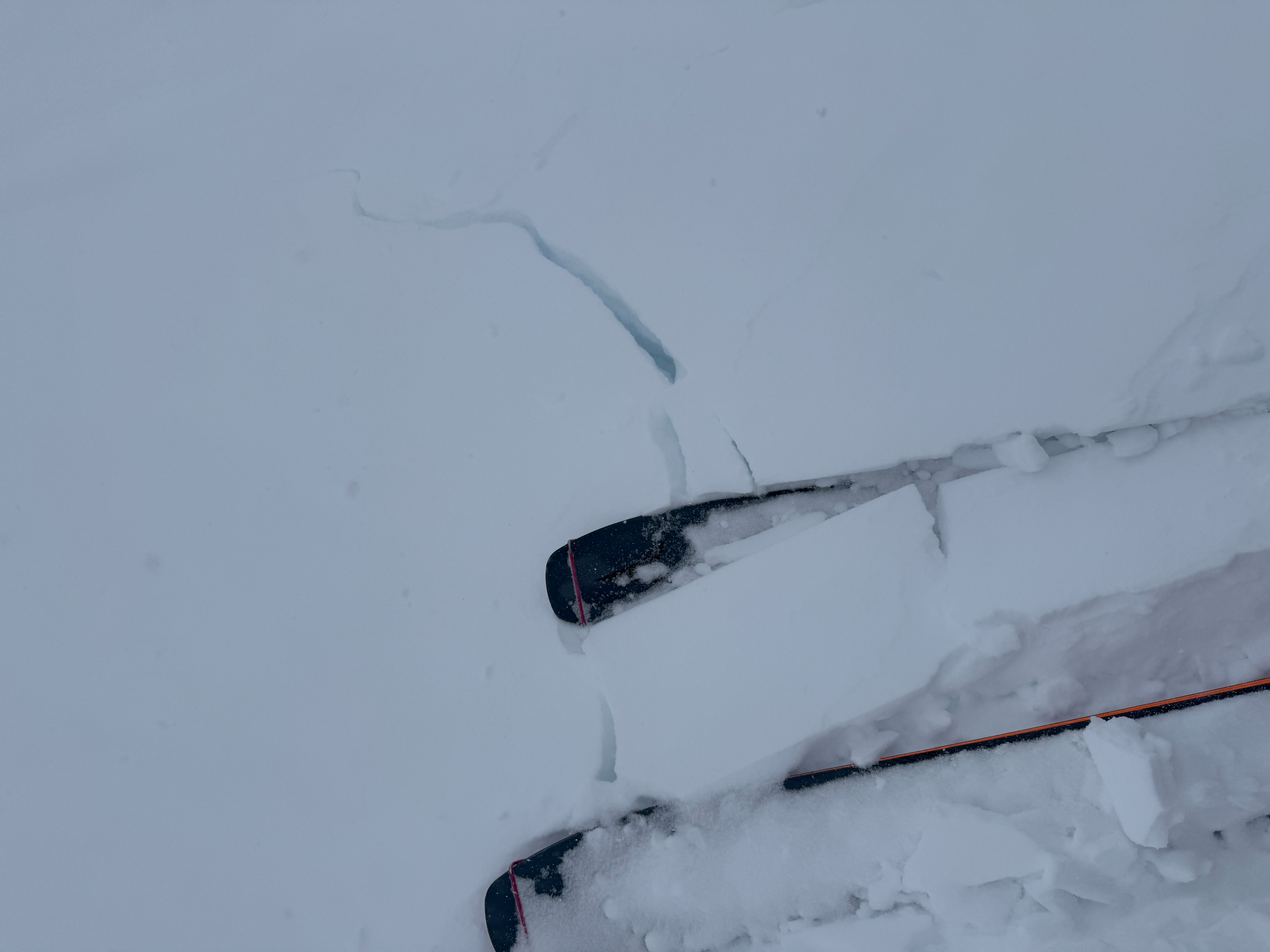
Cracking was limited to wind loaded features at middle and upper elevations. Typically these were very small convex rollovers or unsupported slopes.Weather
- Cloud Cover
- overcast
- Wind Loading
- intense
- Rain Elevation
- 4500
- Recent Snowfall
- 25
- Snow Avail For Transport
- moderate amounts
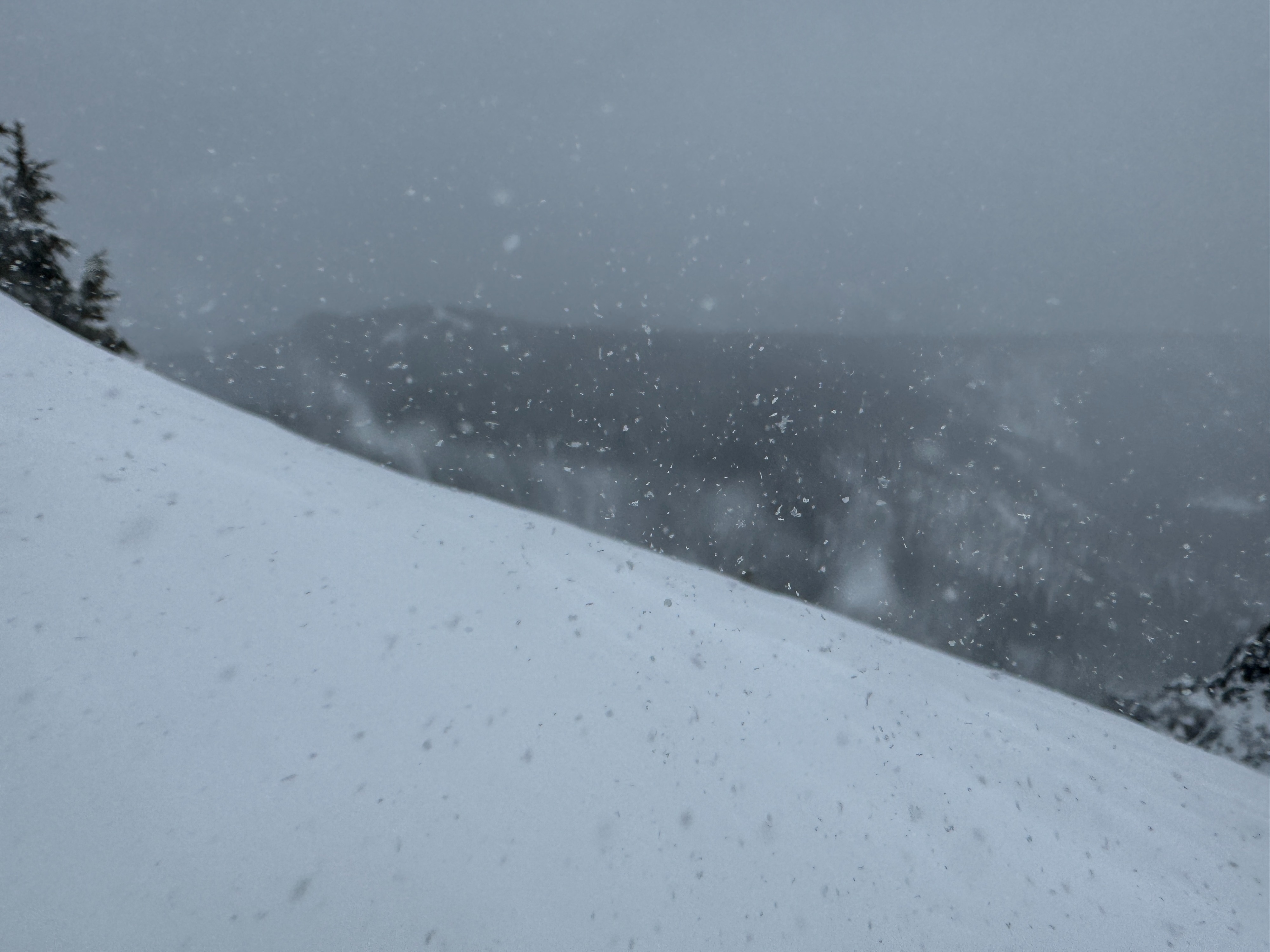
It was a very spring-like day. Periods of stormy weather and then times where it seemed like the skies were trying to part and the sun come out. The wind was the biggest story from today. Moderate to strong ridgeline winds were common. What was tricky was the direction. Even along ridgelines we experienced winds from the E, SE, S, SW, W, and NW, sometimes without even moving an inch. Needless to say this led to some complex loading patterns.
Snowpack
New snow: How much new snow we found varied greatly by elevation. 4500ft: 1-2", 5500 ft: 4-6", 6000ft: 6-8", 6500ft: 8-10" in wind sheltered areas. Generally, the new snow was well bonded to the underlying crust. The only exception was in wind stripped areas higher in the terrain where the combination of a thinner insulating layer of new snow and colder temperatures combined. You could find a slight change in density within the new snow. We suspected this was from a brief warmup yesterday afternoon.
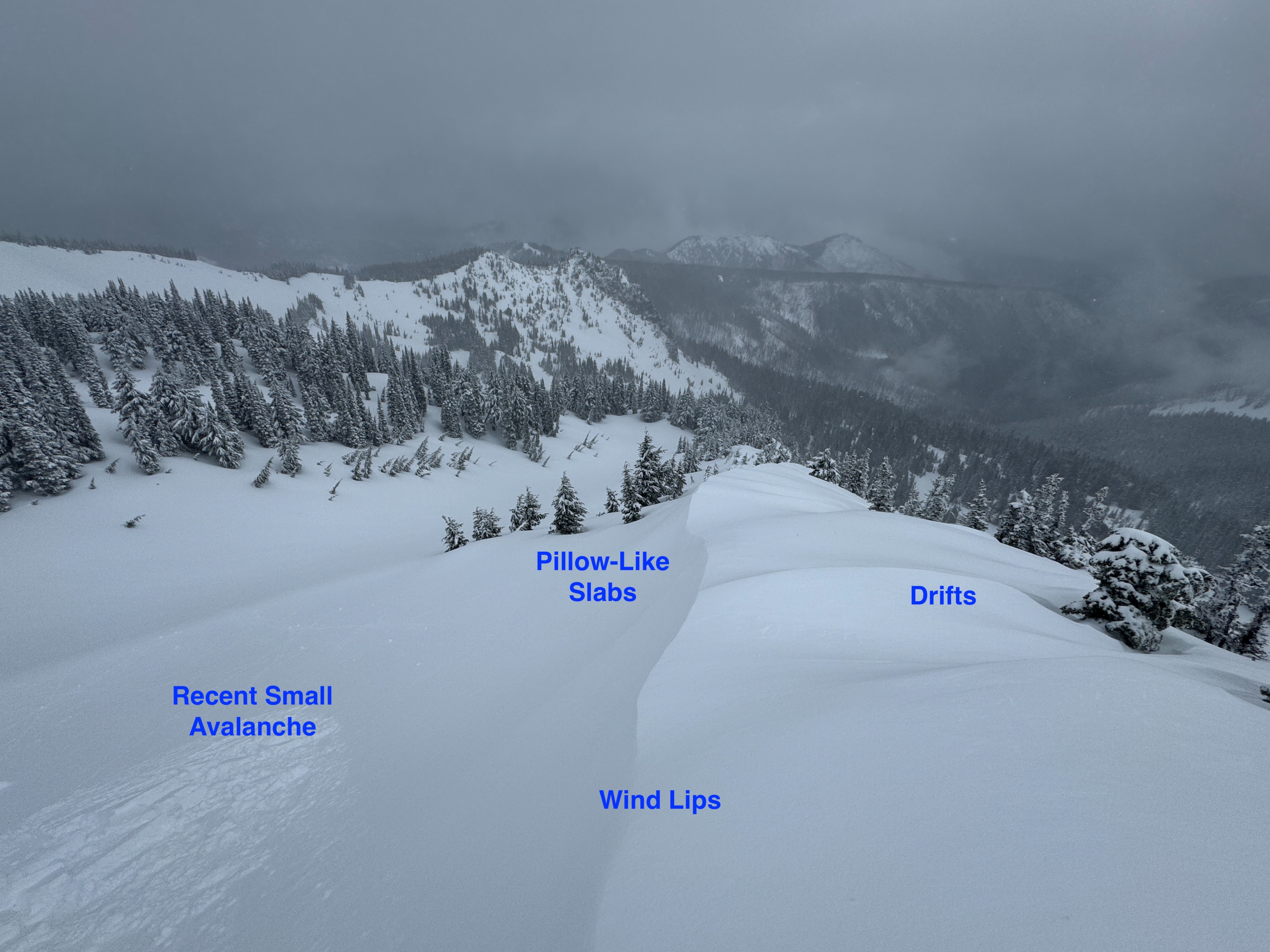
Wind Transport: The winds significantly redistributed the new snow onto a variety of slopes. We even experienced blowing snow and significant wind-affect well below rideline in openings in the trees. The variety of wind directions made predicting loaded slopes more challenging. We found pocket wind slabs on nearly every aspect. Generally, drifts were soft and up to about 12-15 inches deep.
Wet Snow: Below the new snow a thin crust was starting to form. This capped several inches of wet and weak melt forms. This layer of wet grains varied in thickness. However, on a shaded aspect we continued to find dry snow blow all these meltforms. Over all, our take aways from several formal and informal profiles was; 1. there's a lot of variability in the upper snowpack, and 2. the snowpack has not fully transitioned to spring-like conditions. The exception maybe on steeper southerly slopes where we didn't find small dry grains.
Avalanche
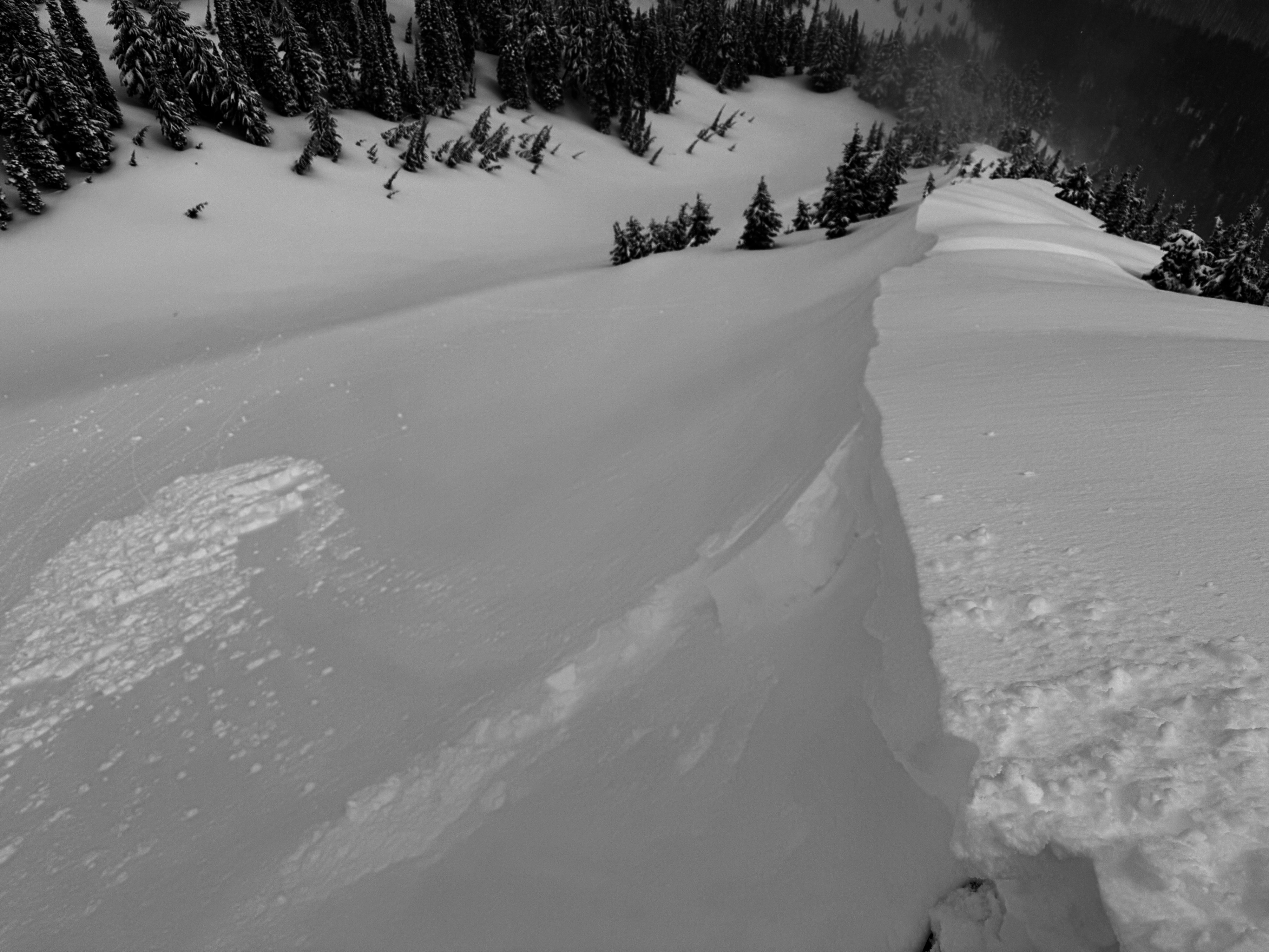
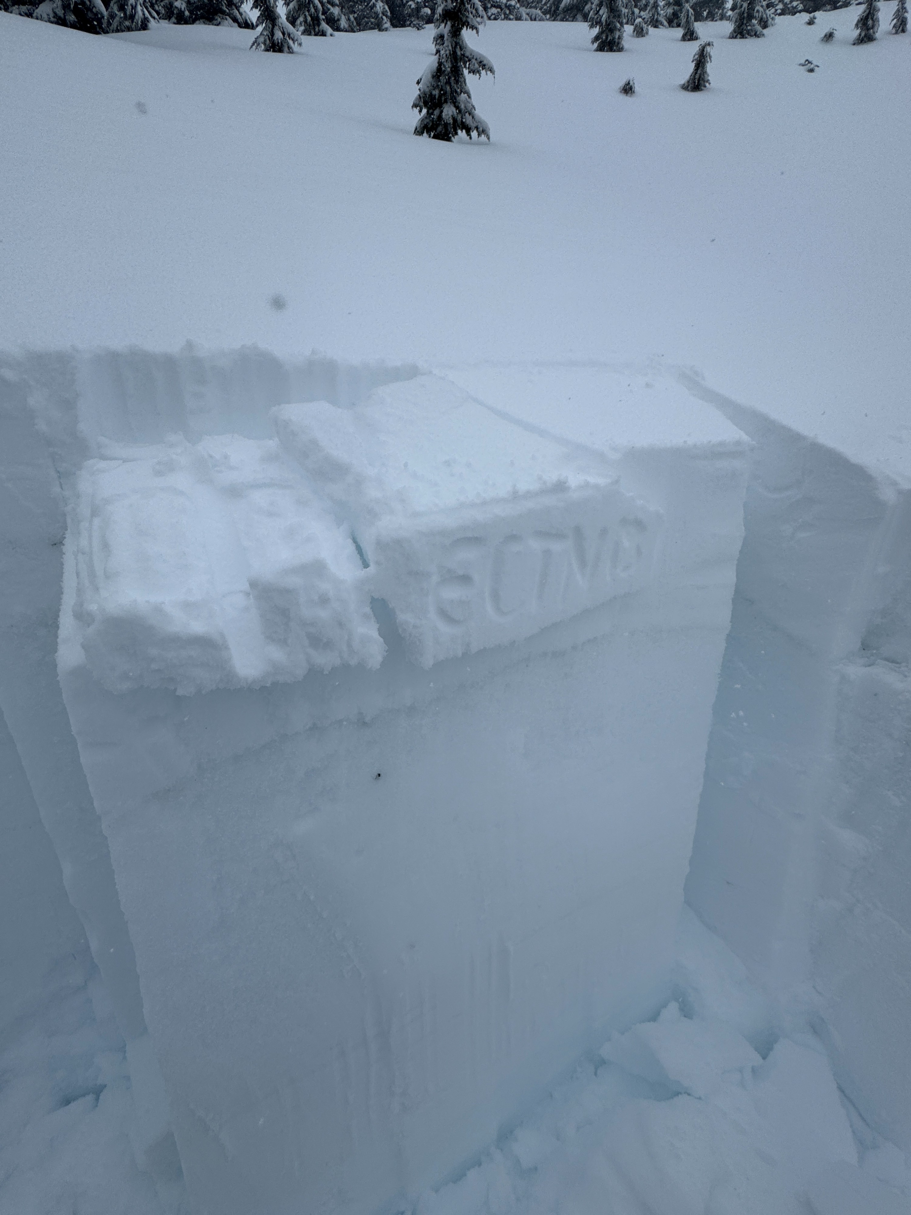
The only natural avalanche observed was a very small cornice collapse. This only involved the new snow. We triggered several small wind slabs on N to E aspects from 6300-6700ft. Generally these slabs were 4-6 inches deep, but a few were 8-12 inches. All ran within the new snow several inches above the newly forming crust. These slabs didn't propagate very wide (10-15ft), were small (D1), and didn't travel far down slope.