
Quick report
Quick Chelan County Mountain Rescue field day to track the incoming snowpack and conditions underfoot: Rain from 3000' to 4300', with a transition to snow around 1030 above Lanham Lake. Snowing lightly with moderate winds gusting to strong at NTL/BTL elevation bands. Cold snow from 5200' up with a pair of weak layers that we tracked to the ridge at 6200': surface hoar is present 8-12cm down under recent wind deposition on polar slopes from ~5200' upward. The Early February Crust has a small grained facet layer above that sheared cleanly under moderate to easy force in hand pits. Winds moderate to strong ATL, with more snow available for transport than anticipated above 5500'. HS 210-230 at 6200' N HS 195 at 5600' W/NW CT/ECTs were uneventful given lack of cohesive slab in upper snowpack. Between melted tree bombs, wind deposited snow, and a melt-freeze crust that tracked to ridgeline, the NTL and BTL were pretty welded in with a dog's breakfast of skinning (and skiing) conditions.
Avalanche
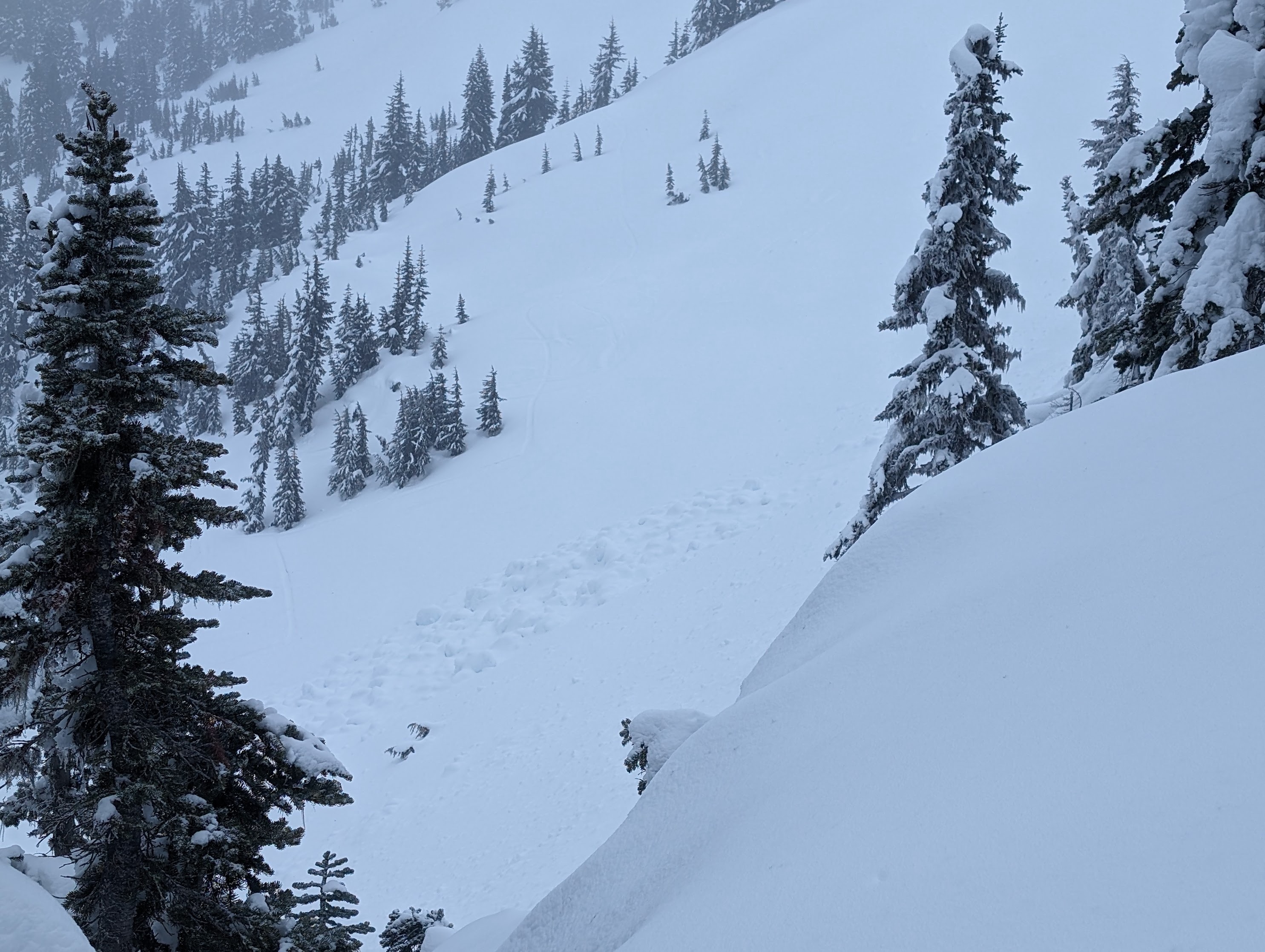
A relatively large cornice had fallen into Jim Hill Bowl last week and triggered a short-running, slide that entrained new snow at 5800' on east/northeast. HS-AC-R1-D2 or may have just been a big ol' AC-0 that slid a ways. Probably ran 200' and was 30' wide.