
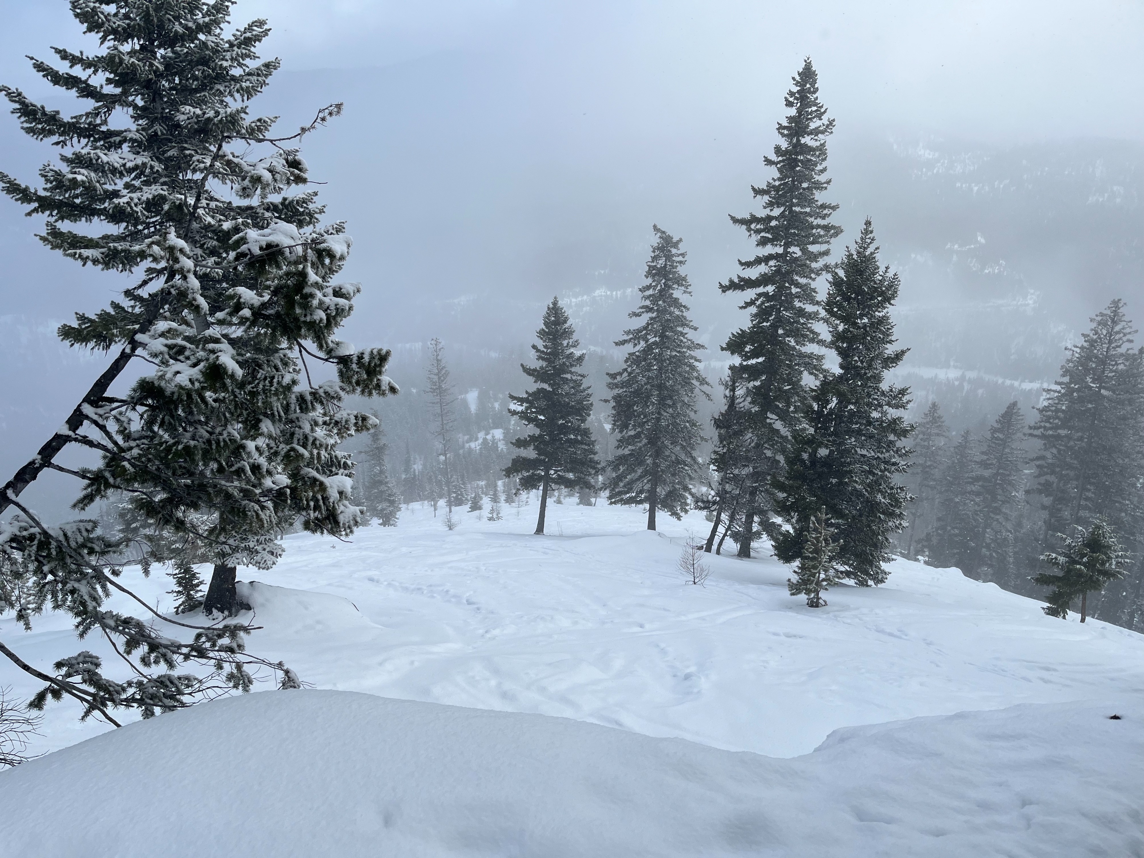
Quick report
The snow has gotten warm and moist on many aspects and lower and middle elevations. In the short term, this means more instability as liquid water enters the snowpack. In the long term, this will help heal the persistent slab problem. For now, poor snowpack structure (a firmer slab sitting on weak, sugary facets) still exists on many aspects and elevations in this zone.
Weather
- Air Temp
- 24
- Cloud Cover
- broken
- Wind Loading
- none
- Rain Elevation
- 4500
- Recent Snowfall
- 6
- Snow Avail For Transport
- small smounts
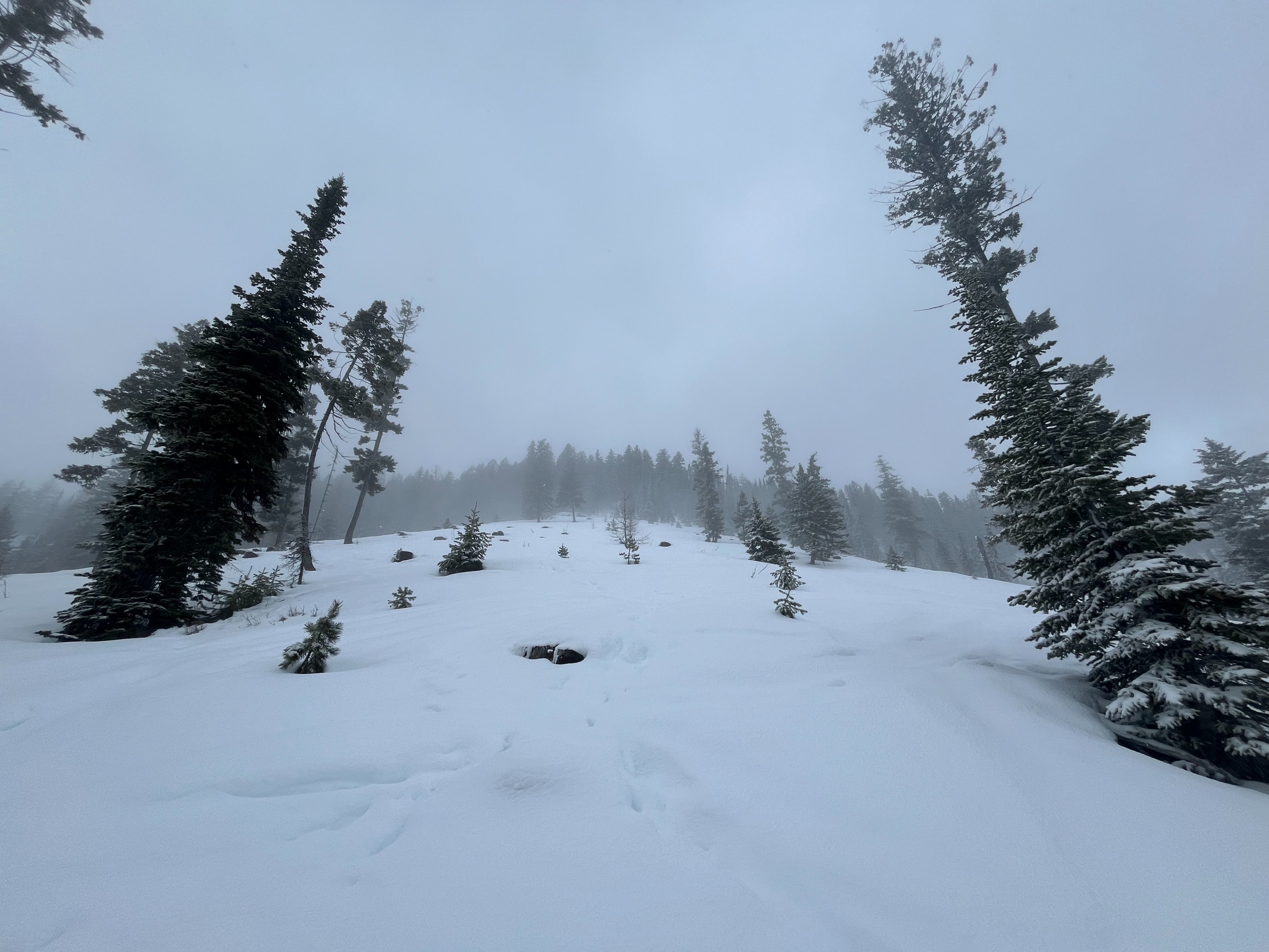
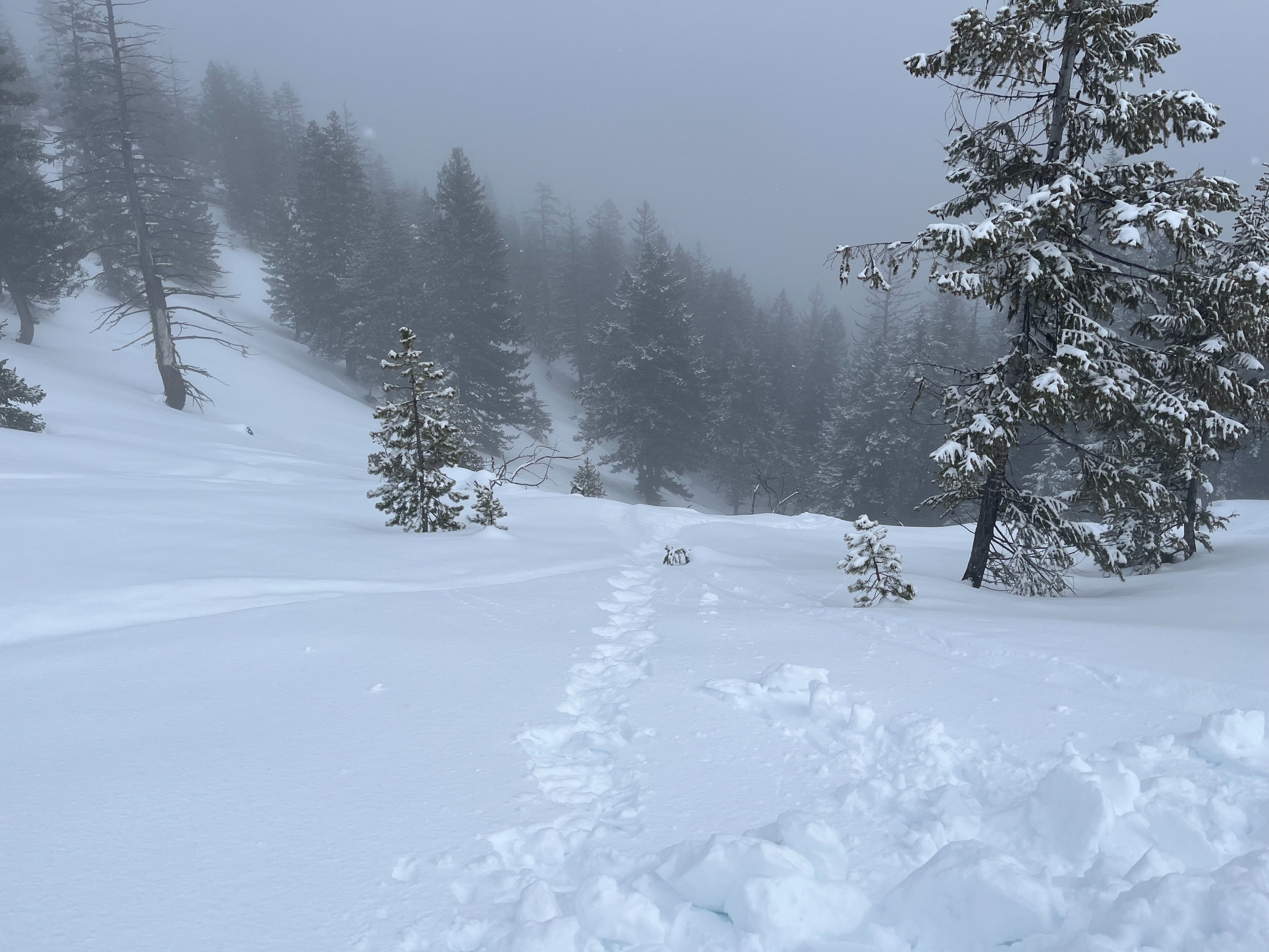
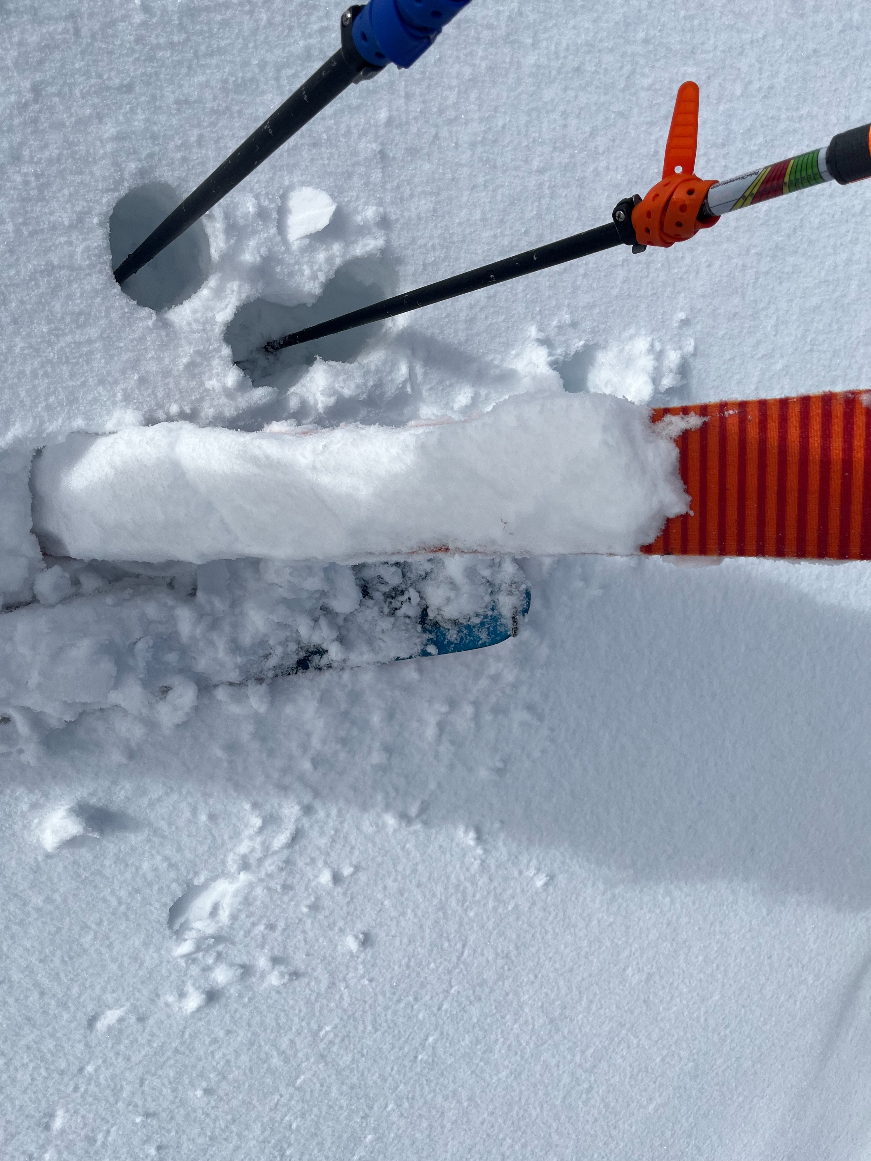
It rained lightly on our drive up to the trailhead. Just before the trailhead, however, the precipitation switched to snow. Throughout the day, the cloud coverage and we experience breif periods of snowfall. The wind was very calm and from the south. It rained again on our drive back down the canyon.
Snowpack
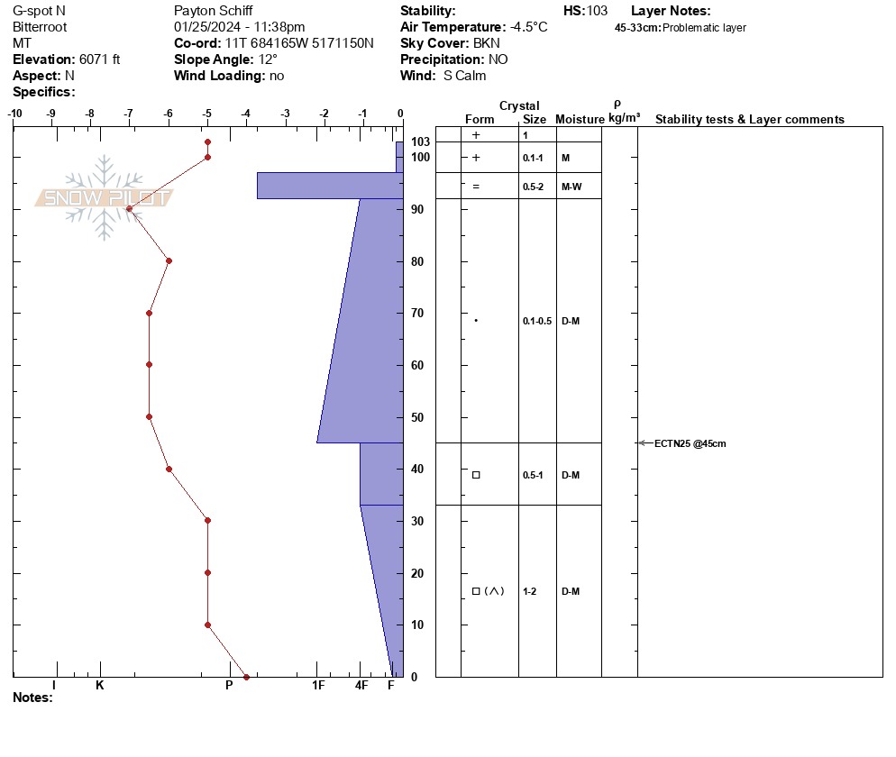
In our snowpit on a north aspect at 6000' , the depth was 40" (103cm). We found a rain crust below new/recent snow, a 4F - 1F hard slab, and weaker, faceted snow at the ground. We performed an extended column test in this pit and got a hard non-propagating result within the facets near the ground (ECTN25). The snow was moist all the way to the ground.
On an east aspect at 6200', the snow was slightly more dry but still somewhat moist all the way to the ground. We found a depth of 120cm and a similar structure of new snow, rain crust, slab, and weak facets at the ground.
The snow at lower elevations was more moist and had lost a lot of cohesion. We found an average depth of 1-2 ft.