
Quick report
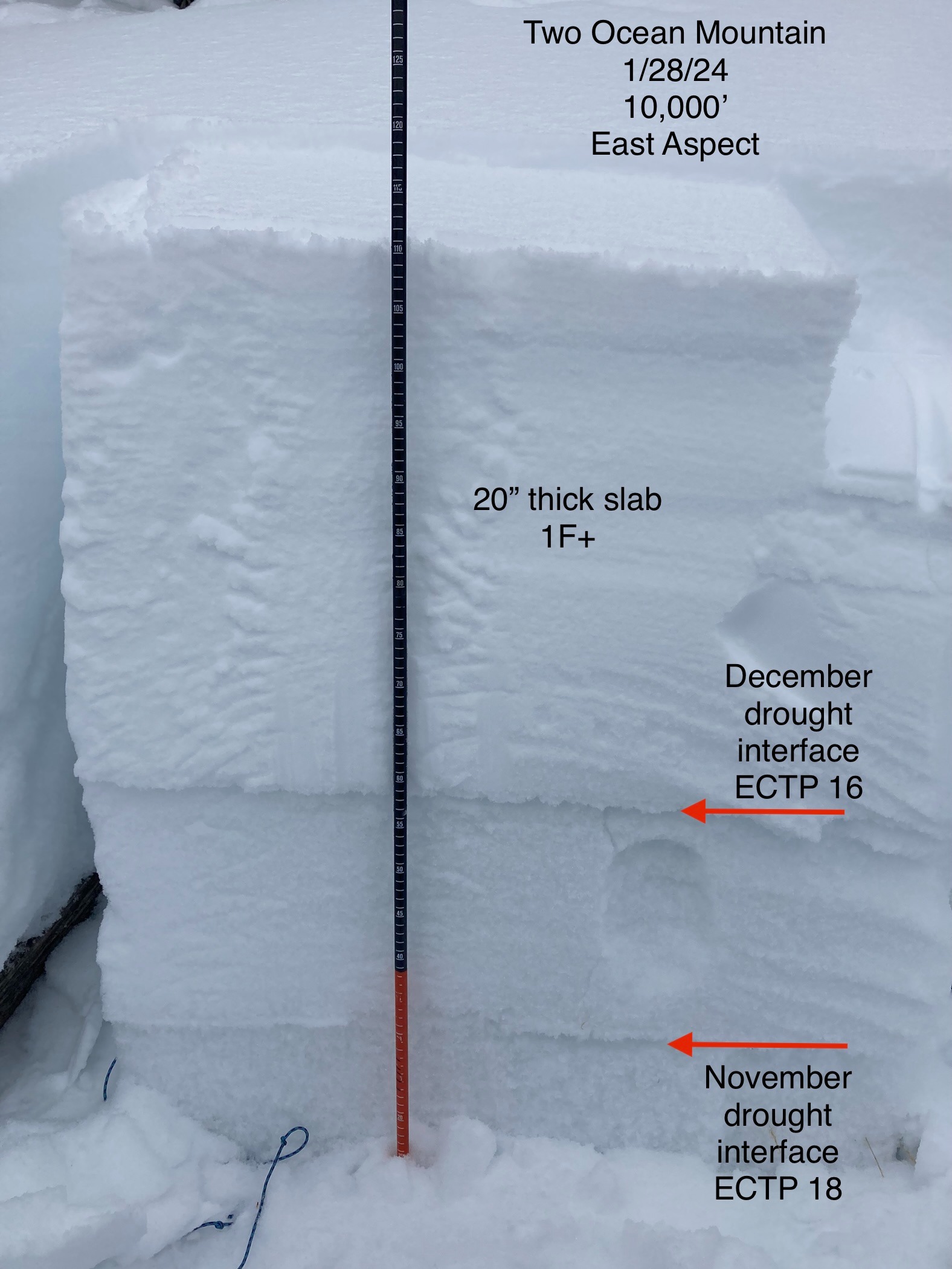
Went up to Two Ocean to check out the snowpack on the divide. Like most areas around Togwotee Pass, the structure is poor with a hard slab sitting on top weak, faceted snow. Dug a pit and ended up with some interesting results.
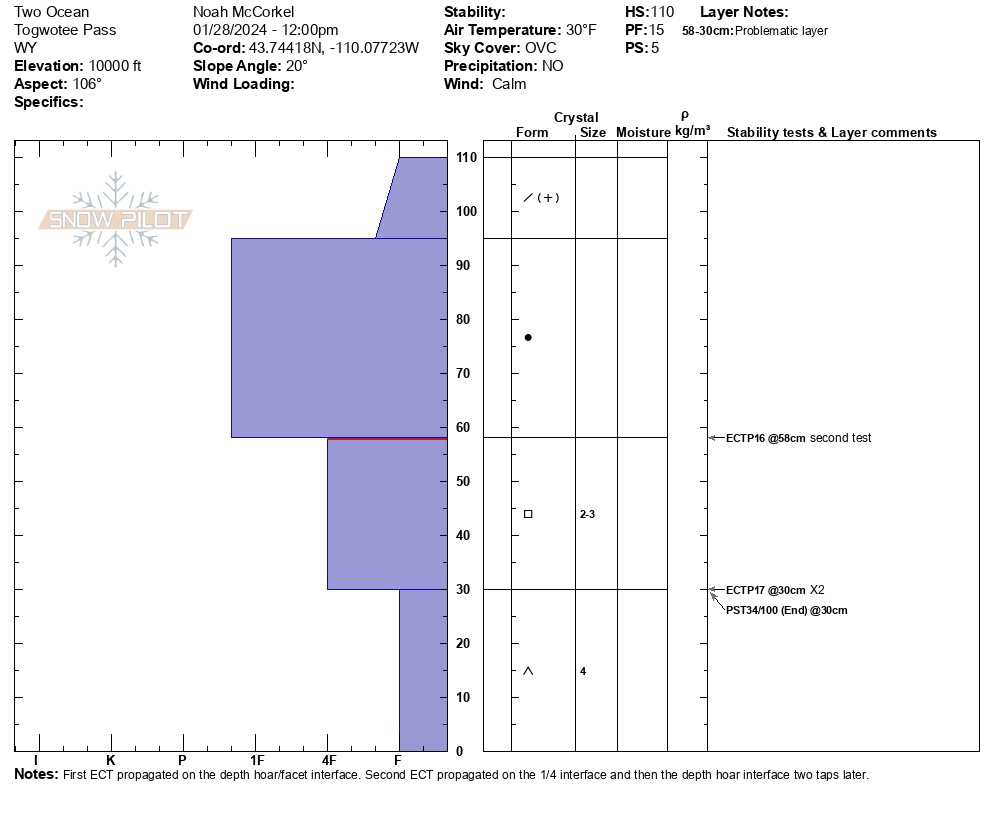
Total height of snow = 110cm (43")
The first ECT propagated with 17 taps on the depth hoar/December snow interface down 80cm (31"). I was expecting it to propagate higher up in the column, so I did another test.
The second ECT propagated with 16 taps on the December snow/ January slab interface down 52cm (20"). Feeling the science, I tapped two more times on the column and it propagated deeper on the same interface as the first test.
I decided to do a PST on the depth hoar (lower) interface and got PST 34/100 (End)
These results indicate that in some locations around Togwotee Pass it is possible to trigger an avalanche that breaks deeper in the snowpack closer to the ground. Avalanches failing in the January snow could also step down to old snow from November. This will be isolated to the upper elevations, or wind loaded locations that had some version of a slab at the end of the December drought. If this does happen, expect slab depths to be closer to 3 feet.
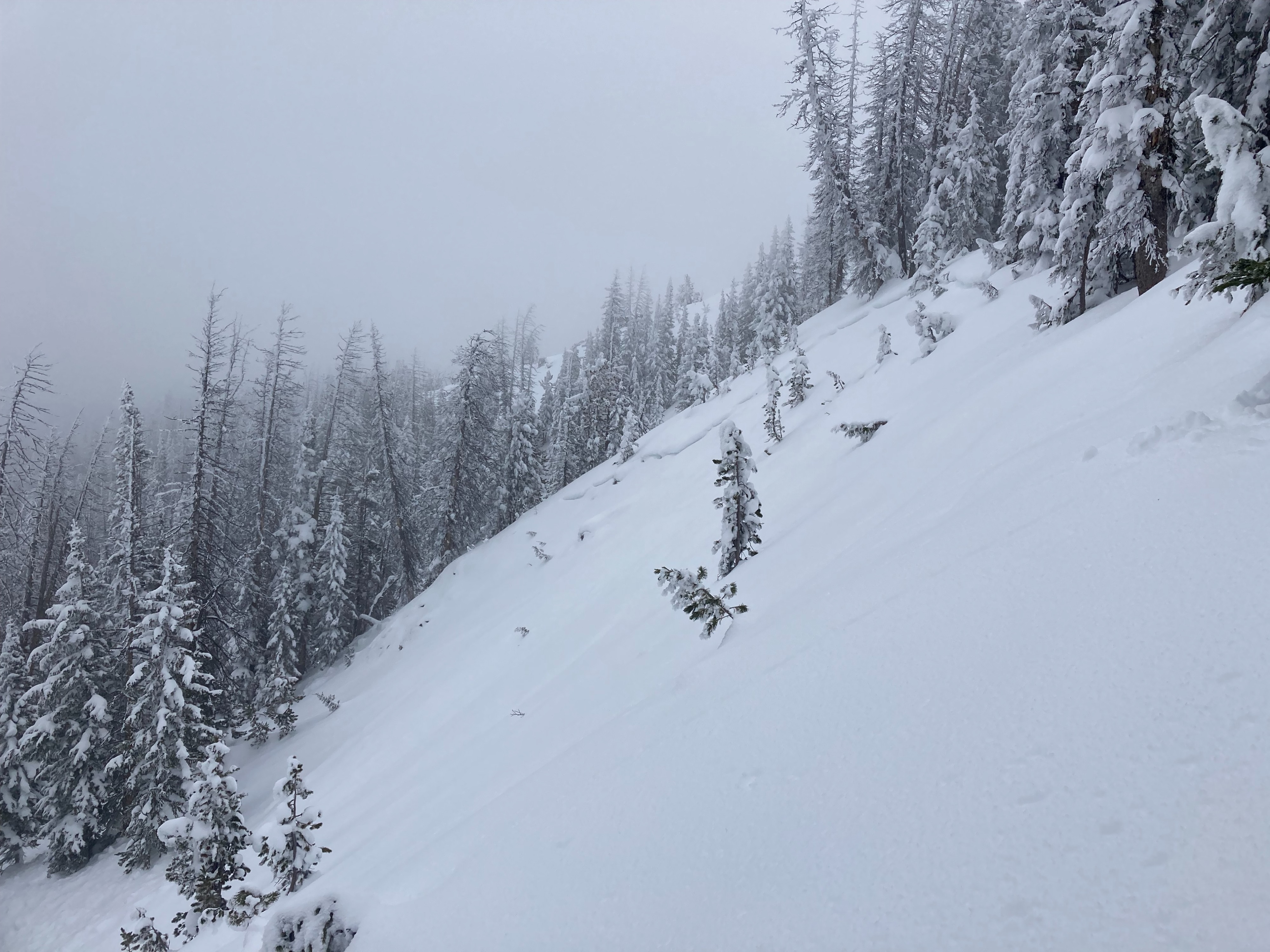
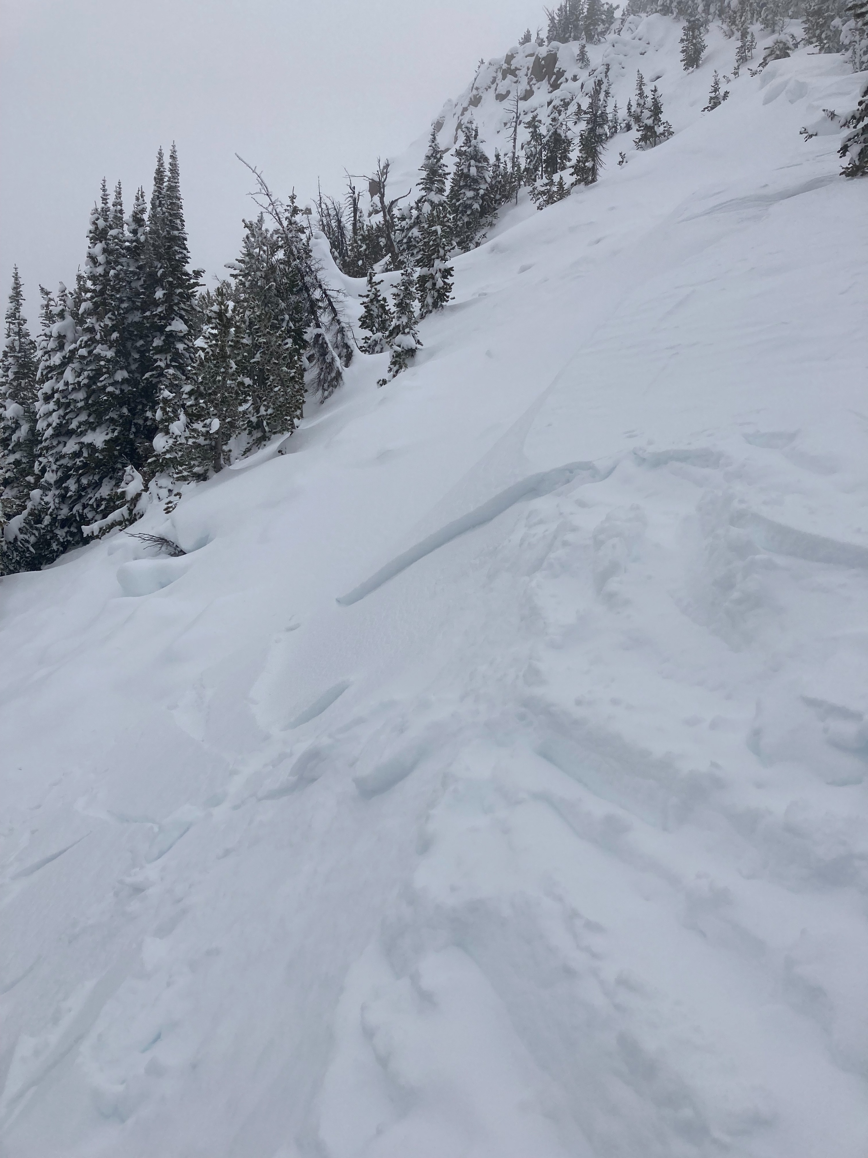
Observed several old avalanches that likely ran sometime around the 20th and one recent shallow wind slab.Weather
- Air Temp
- 30
- Cloud Cover
- obscured
- Wind Loading
- none
Warm at the top of the pass. The truck said it was 32 degrees. Calm and foggy.
Avalanche
- Size
- D2
- Type
- HS
- Aspect
- N
- Elevation
- 10100 ft