
Quick report
A quick trip to assess surface snow and avalanche conditions in southwestern Glacier NP.
- Solid diurnal refreeze, though snow surface at road/ railroad elevation softening by mid morning.
- At low and mid elevations, the snow surface is primarily refrozen melt-freeze grains. It was slightly wet at the surface, allowing us to skin without ski crampons. This layer remained supportable on skis at 2 PM. We found a few pockets of recent snow from earlier this week on shaded slopes that glopped on our skins.
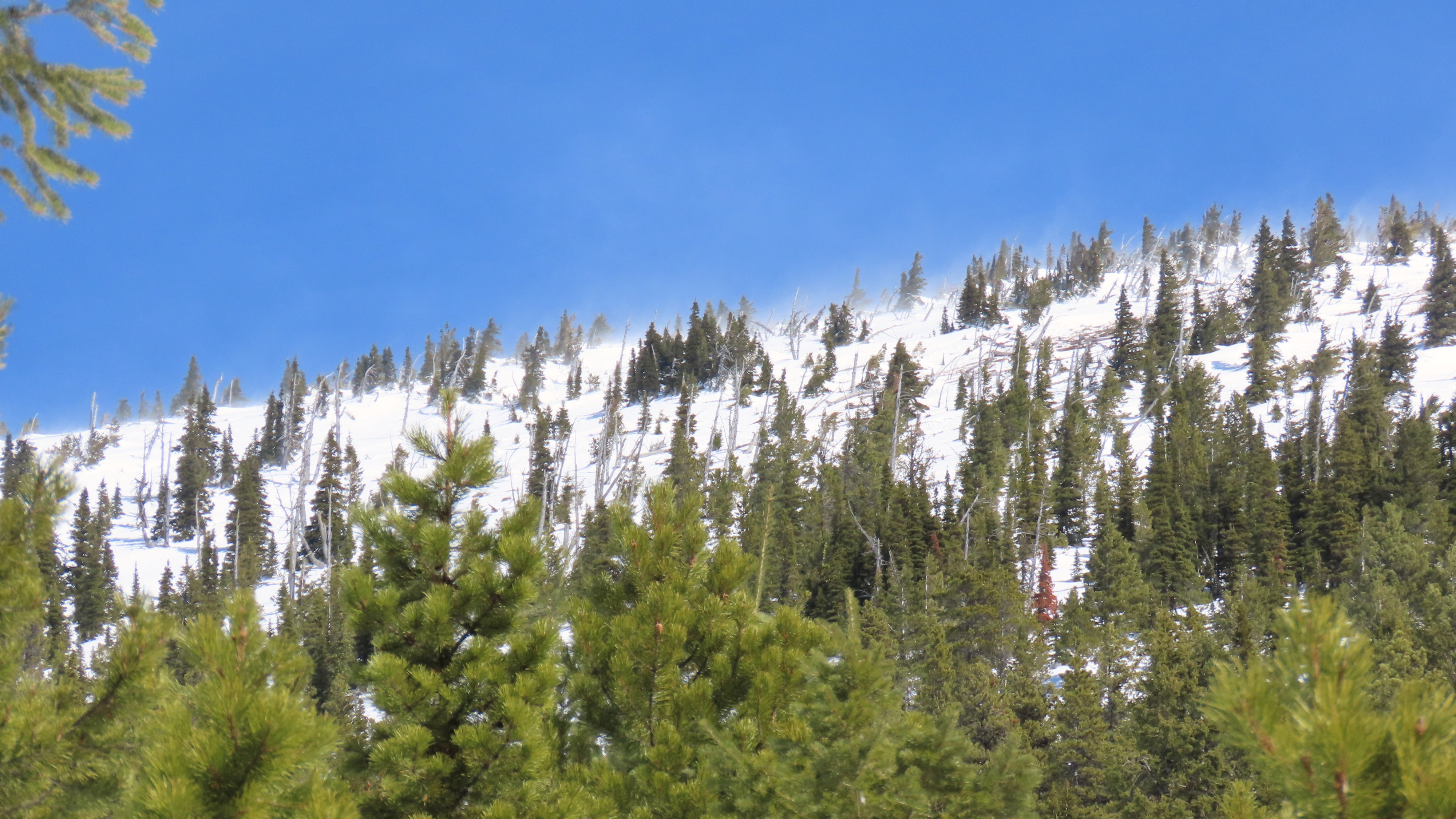
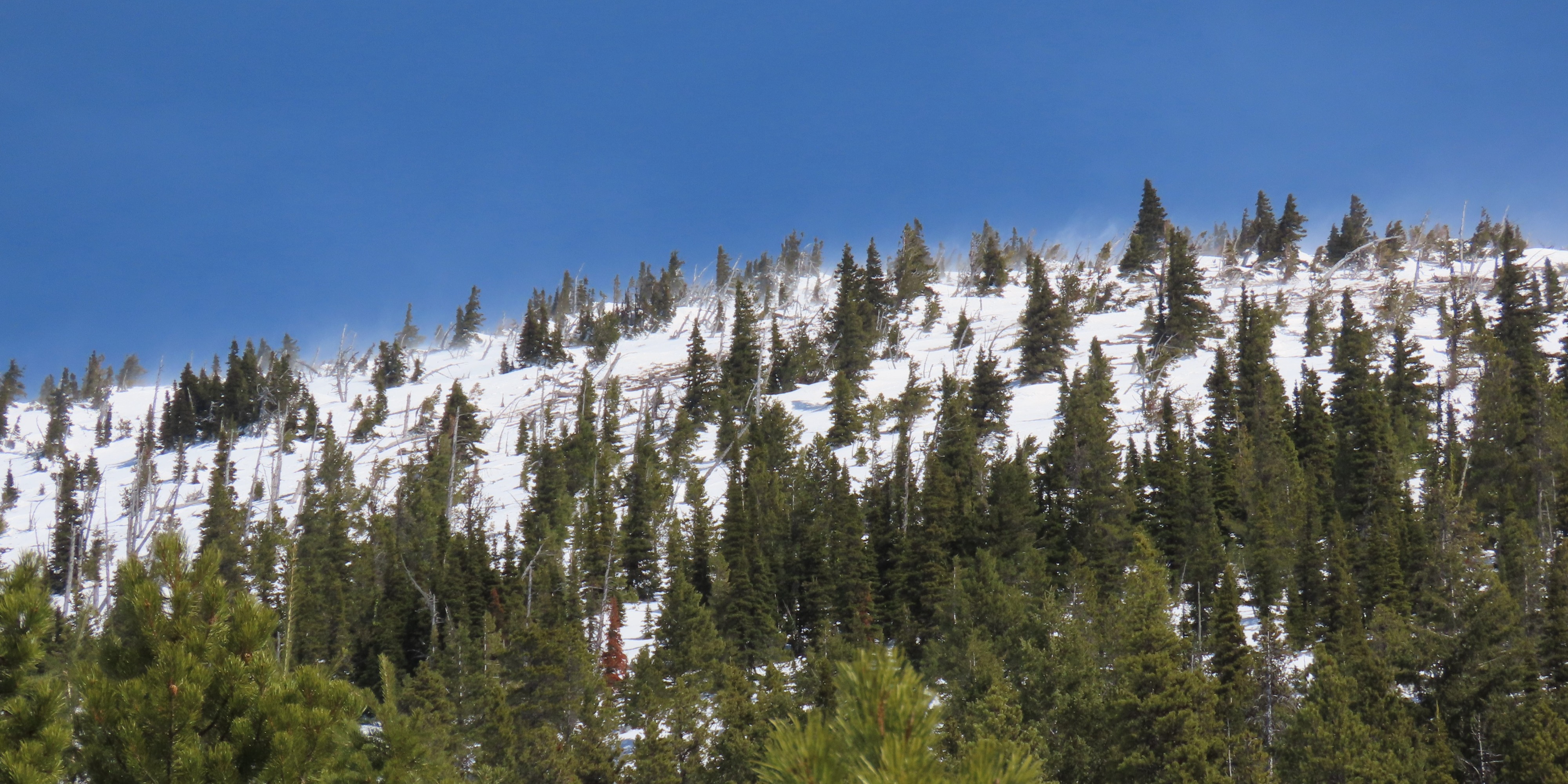
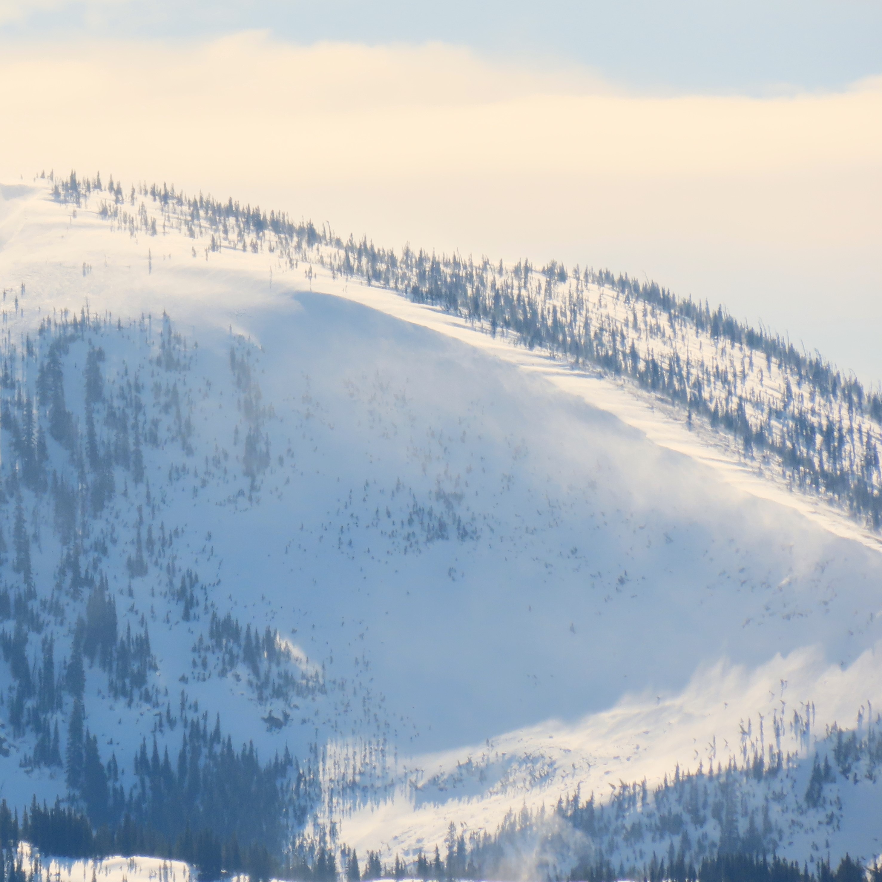
- Above about 6500 feet, the snow surface is more variable. The few inches of snow from earlier this week had a thin melt-freeze crust but the layer as a whole was not refrozen. The blowing snow we saw above us indicated that dry snow exists on west-northwest aspects at upper elevations.
- We turned around when we started getting knocked around by the wind. Our reward was just-ripe corn nearly to the Fielding trail.
- While there was enough solar radiation to soften the snow surface, the strong winds and temps ~ freezing kept the snow surface from softening enough to pose a wet snow hazard on the slopes where we traveled.
Weather
- Cloud Cover
- scattered
- Wind Loading
- light
- Snow Avail For Transport
- small smounts
Overcast/ broken skies in the AM giving way to scattered clouds. Gusty winds peaking early afternoon with strong to gale force gusts. mostly above 6500 feet. Directions seemed variable. WNW on Elk, more WSW on other nearby peaks. By early afternoon, strong gusts reached lower elevations.