
Quick report
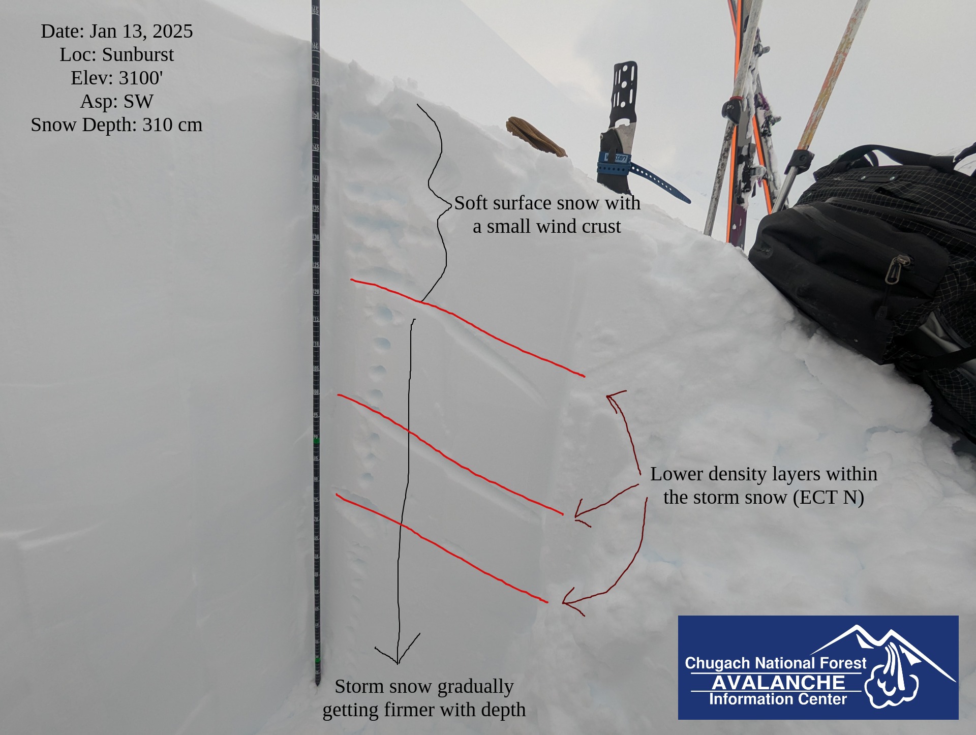
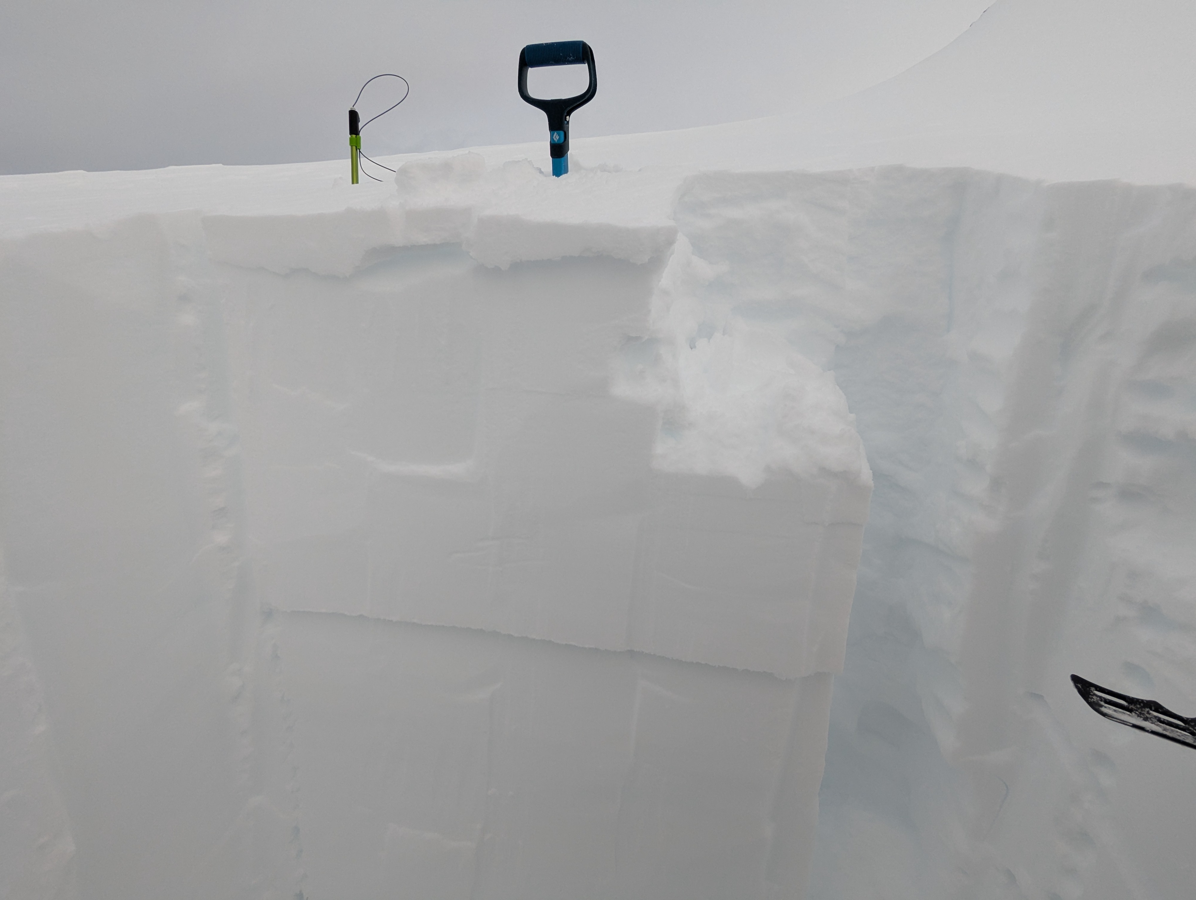
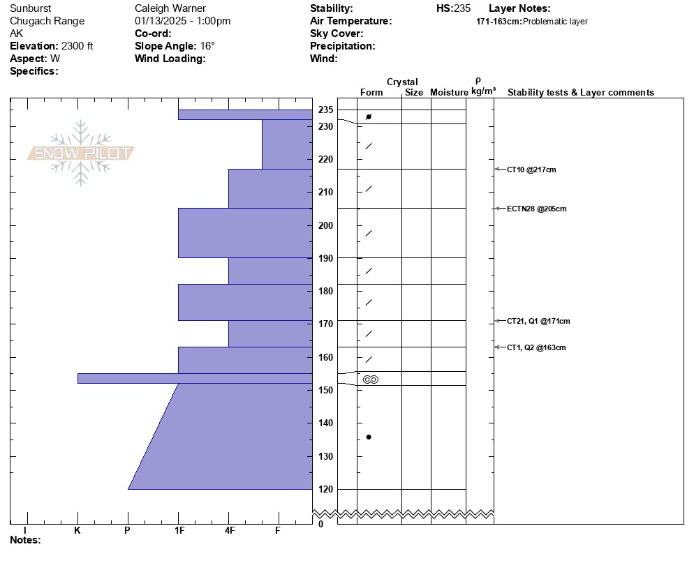
We toured from the Sunburst lot up the normal uptrack to a high point of 3100 feet. After yesterday's storm that brought several feet of new snow and near record-breaking ridgetop winds through the pass, we were curious to investigate how much new snow had fallen and how it was bonding to the old snow surface. We were excited to see the new snow that fell below 1800' was wet and heavy enough to lay down the lower elevation alders. From the road up to ~2000 feet, the snow turned to rain near the end of yesterday's storm forming a thin breakable crust at the surface. Above 2000 feet we found soft, dry snow. The snow surface in the alpine was wind-affected and scoured along ridgelines. In two snowpits we dug at 2200' and 3100' we found the new storm snow to be right-side-up and did not observe propagating test results.
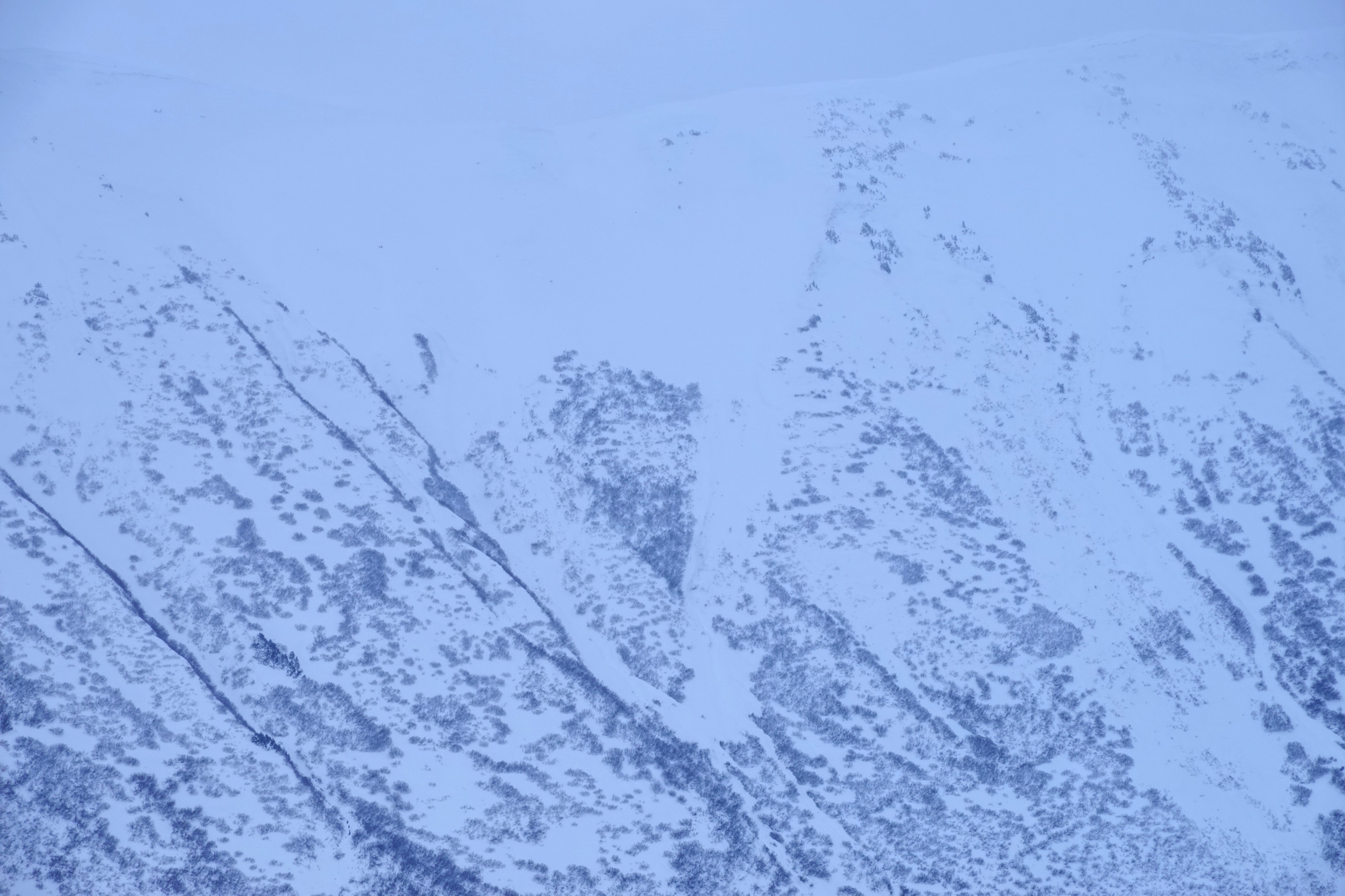
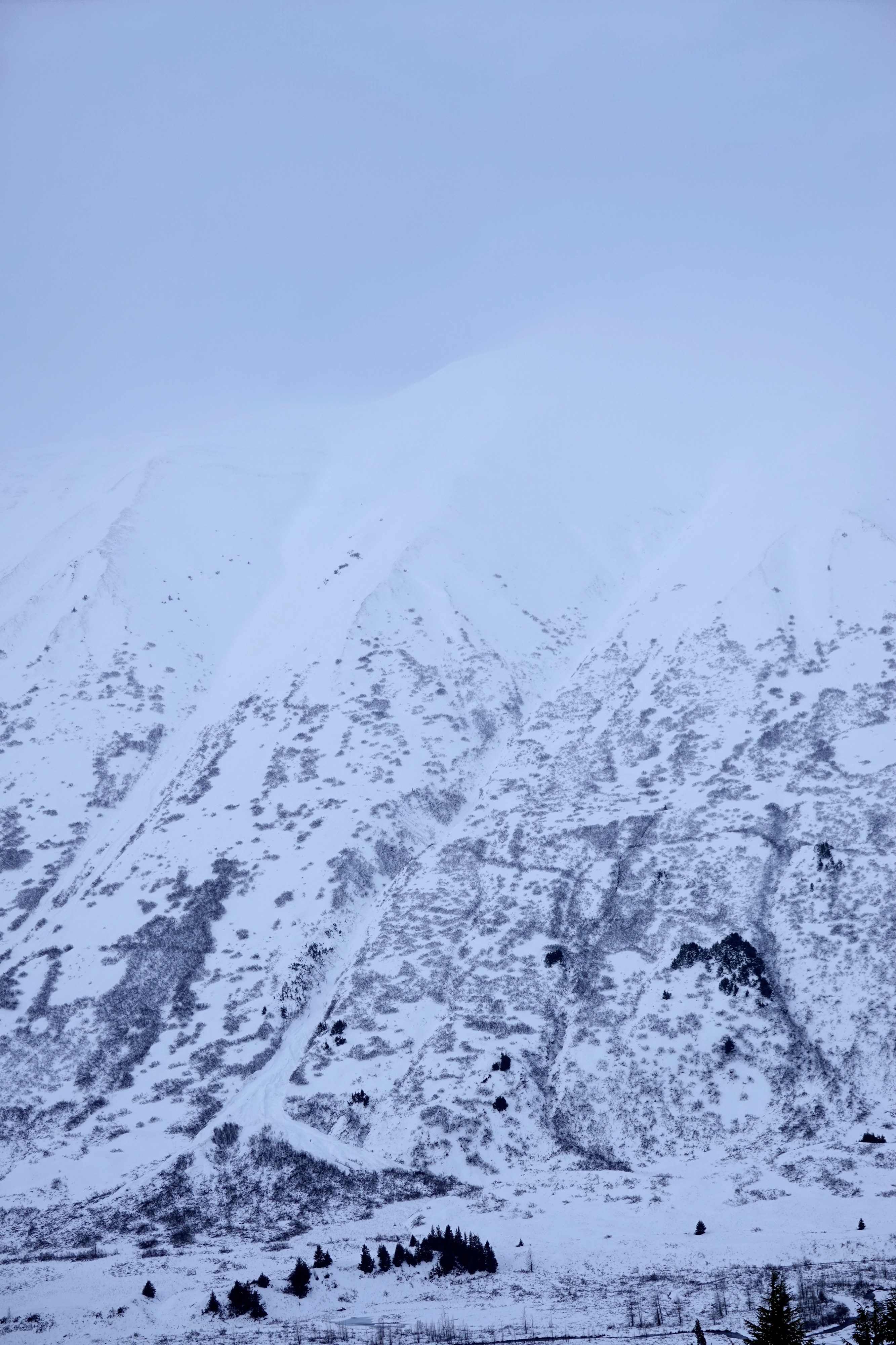
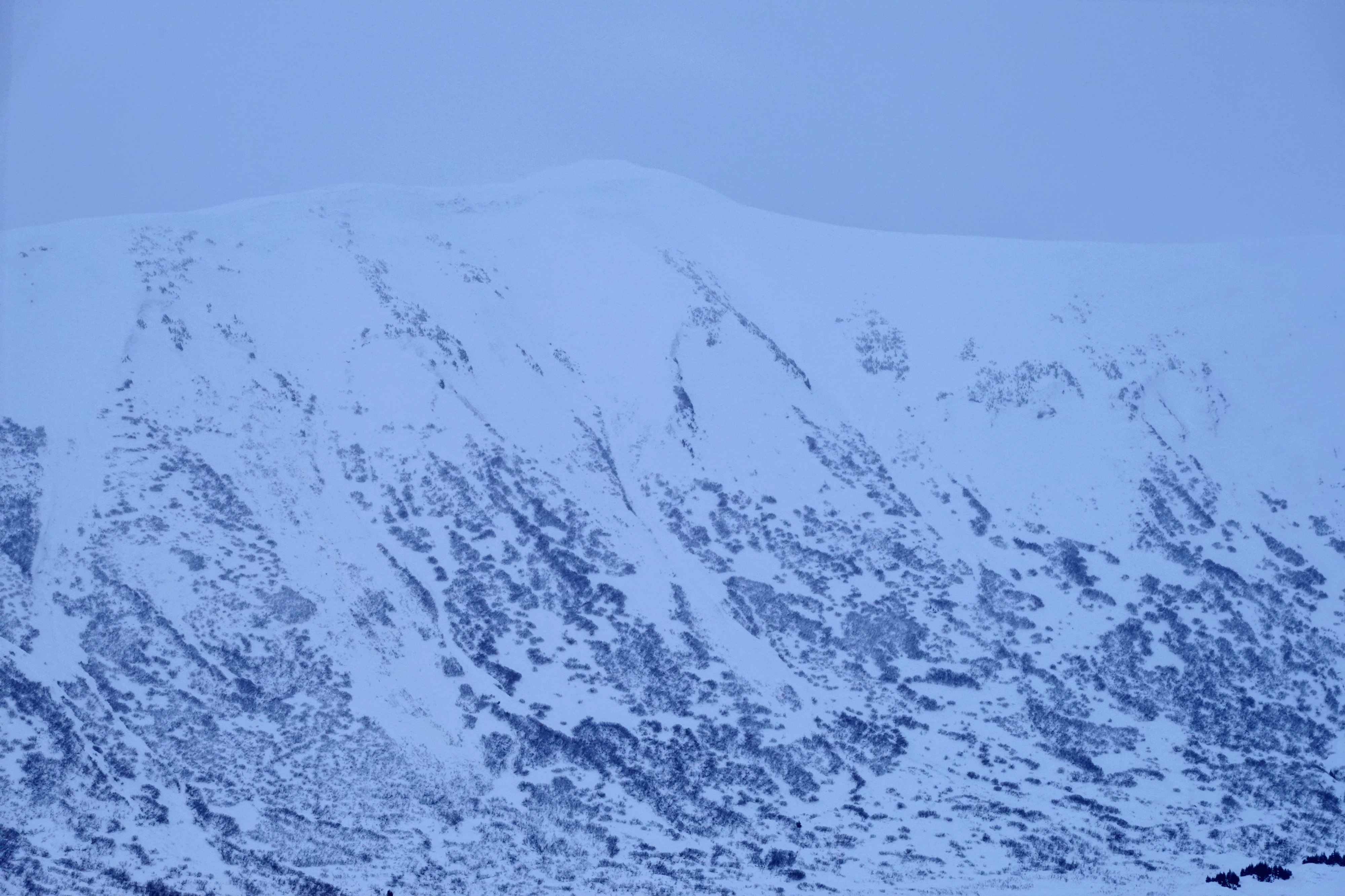
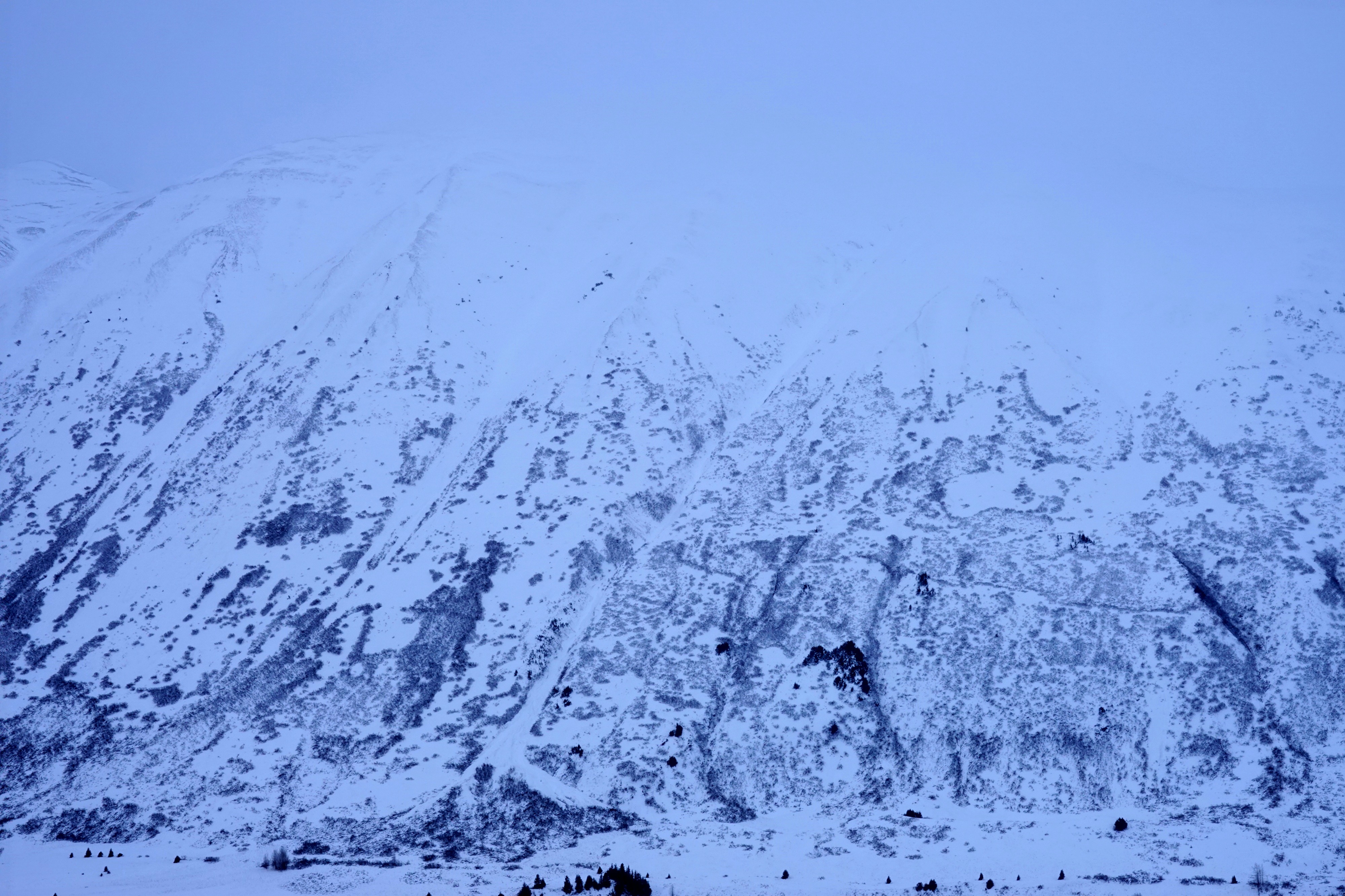
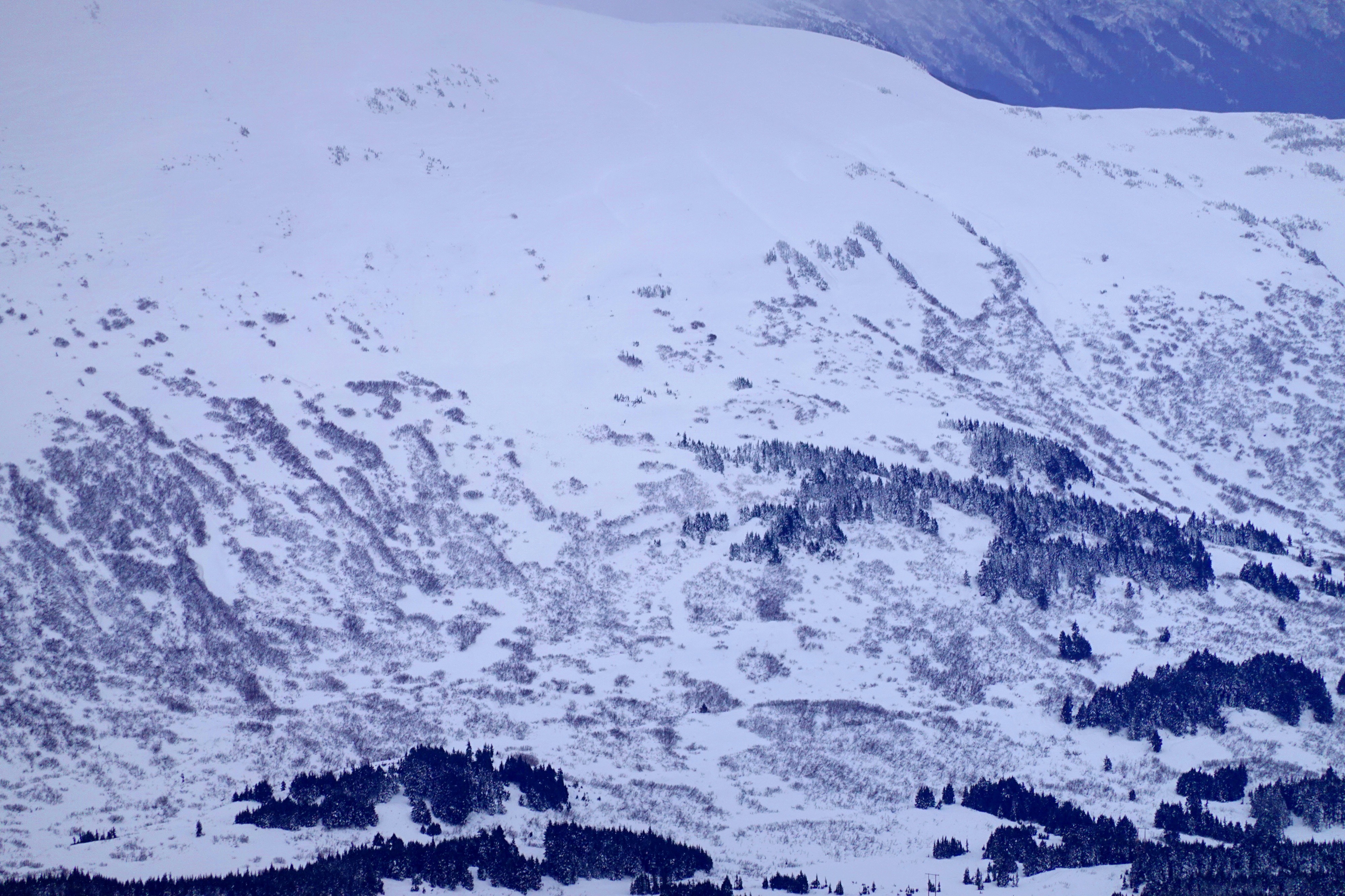
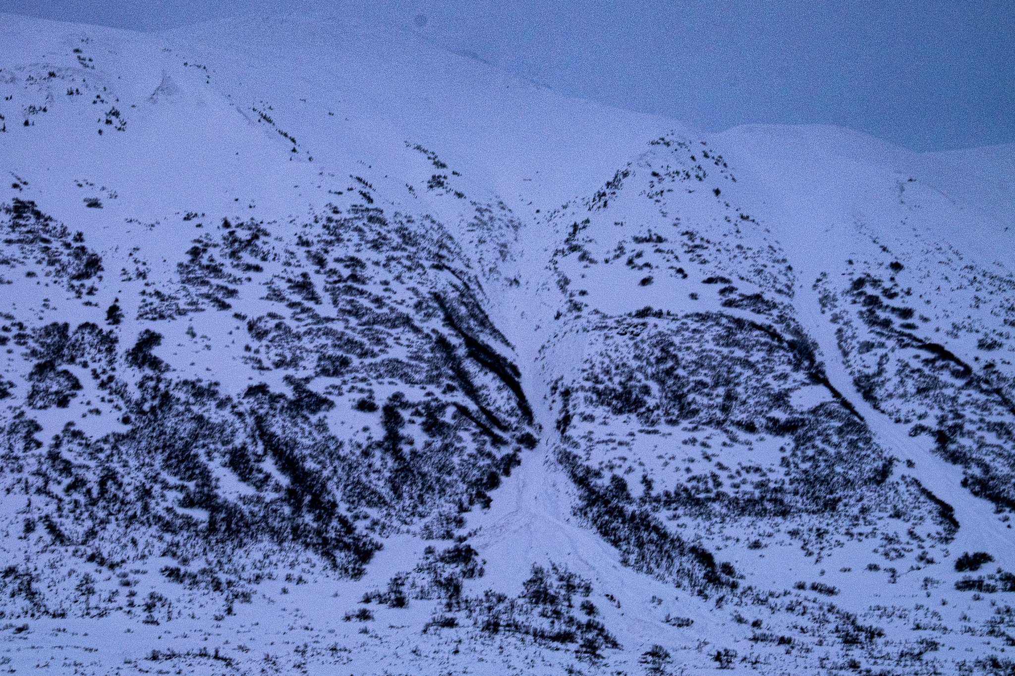
We observed avalanche debris in several gullies on the Seattle ridge side that ran during yesterday's storm.Weather
- Cloud Cover
- overcast
- Wind Loading
- moderate
- Recent Snowfall
- +/- 150
- Snow Avail For Transport
- moderate amounts
Skies started broken this morning and became overcast around noon, with light snow flurries. As winds picked up around 2 pm the skies became broken with decent visibility in the pass for the remainder of the afternoon.
Snowpack
From the parking lot to 2000' the new storm snow was capped with a breakable melt-freeze crust. Above 2000' the snow was dry. We dug two snow pits, one at 2200' and the second at 3100'. We did not find any concerning test results in either of our snowpits. It was difficult to determine how many feet of new snow had fallen but our snowpits were right-side-up and well-bonded between the storm interface layers. As winds picked up in the afternoon we saw active snow drifting, with plenty of snow available for transport in the alpine.