
Quick report
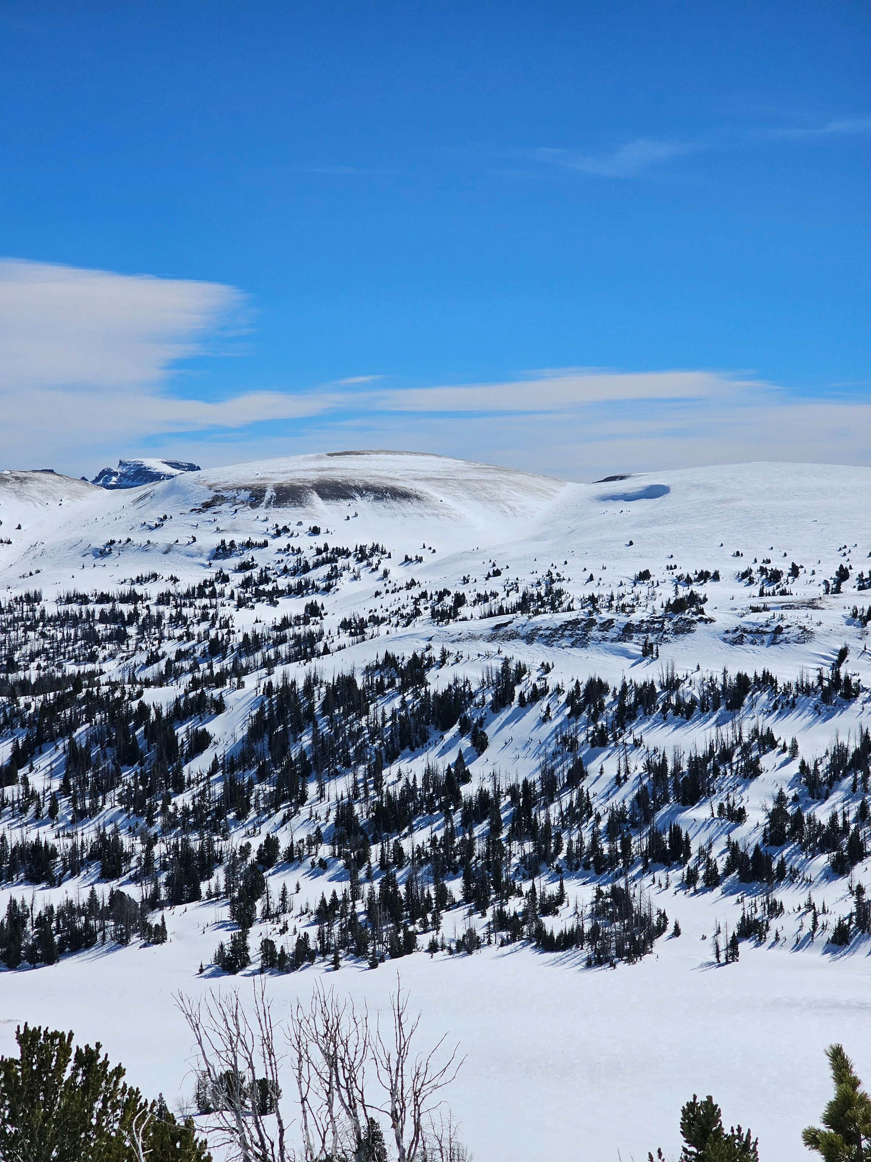
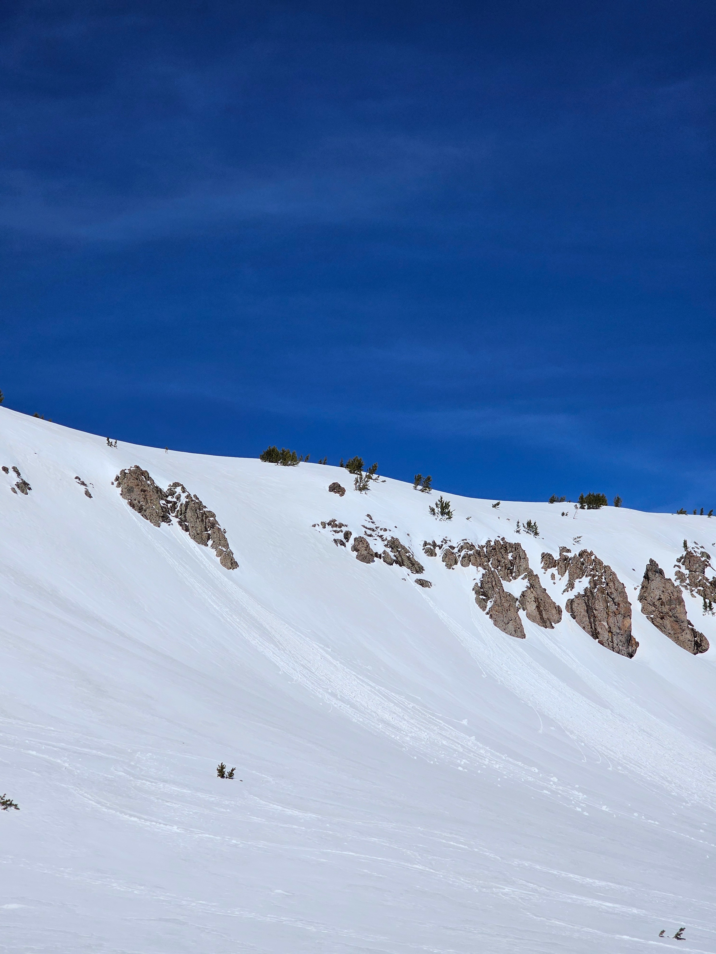
Today was the first of the big warm up that is forecasted to continue through Saturday. Last night gave the Togwotee Pass area a solid feeling refreeze. Today was the first day that the snowpack started to feel some warmth, but the winds kept serious warming at bay, at least in the higher elevation areas of Togwotee. By early afternoon temperatures were warm and roller balls of snow were coming off of rocky features. We did not see any wet loose avalanches. If winds die down, things will change fast as the snowpack feels the heat. On most aspects cold snow exists underneath yesterdays melt freeze crust.
Tomorrow, we will need to keep an eye on what winds and temperatures do, if things don't cool down tonight and melted water starts interacting with cold snow and buried crusts we could see some larger avalanches, especially later in the day.
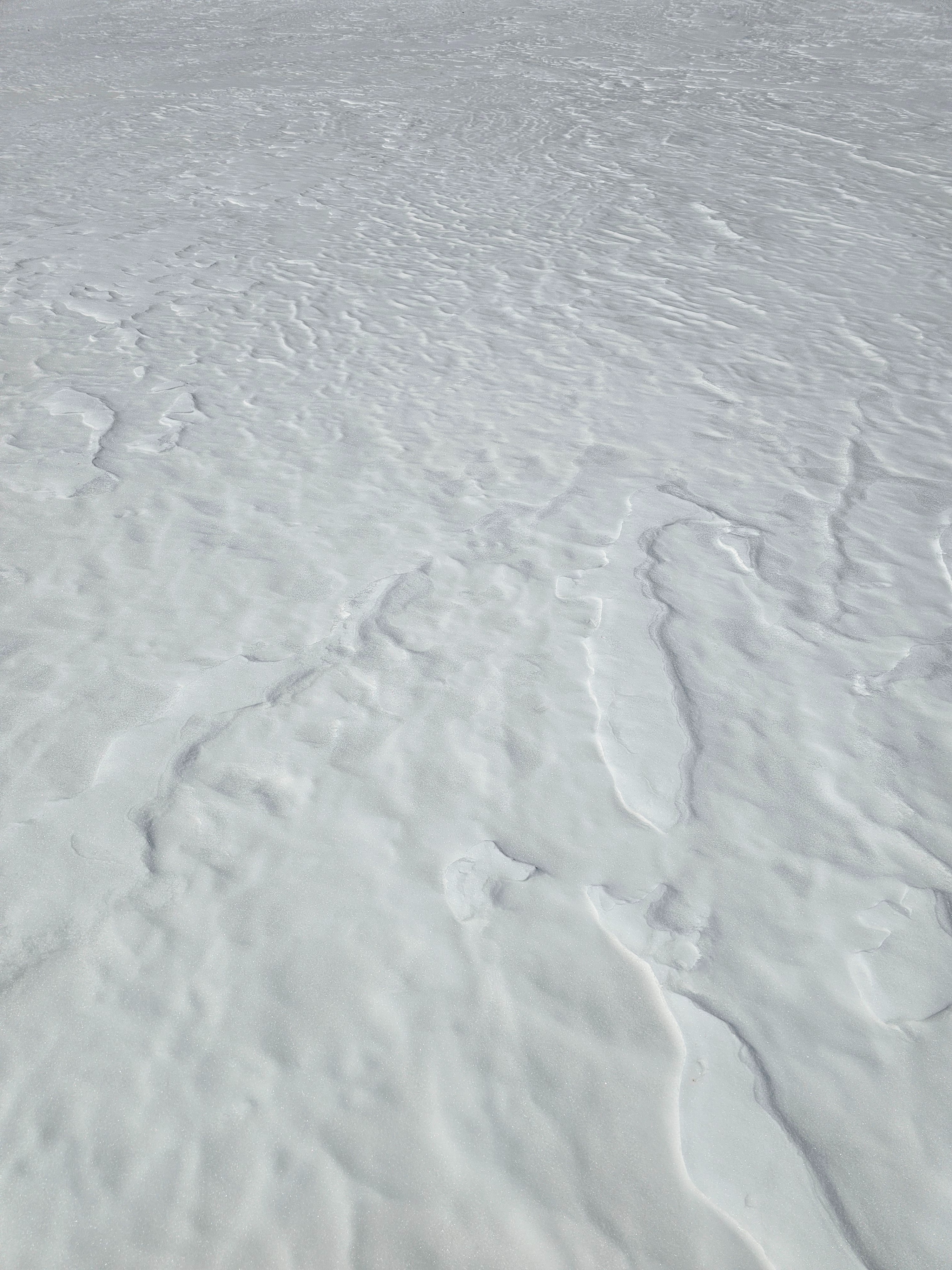
There was a mixed bag on snow surfaces. Many areas are scoured and heavily wind effected from the weekends wind event. Today there was still some cold snow at upper elevations on sheltered due north. Everywhere else has some degree of melt freeze crust.
Weather
- Air Temp
- 30s and 40s
- Cloud Cover
- few
- Wind Loading
- none
- Snow Avail For Transport
- small smounts
Temperatures in the morning were in the 20s but rapidly rose to the 30s and 40s F. Light to moderate westerly winds persisted throughout the day. Snow surfaces started to heat up.
Snowpack
I dug on a north aspect at 9,700'. (No pit because of phone glitch). Here the height of snow was just above 2 meters. The January Facet layer is 90cm below the surface, mostly rounded, and 1F- hard. In this location I don't think it is much of an issue, but may be in other areas that are shallower. PST 40/100 To End on this layer. ECTX.
This weak layer is becoming unlikely to trigger in many locations, but is still something to keep on your radar on very steep northely terrain.