
Quick report
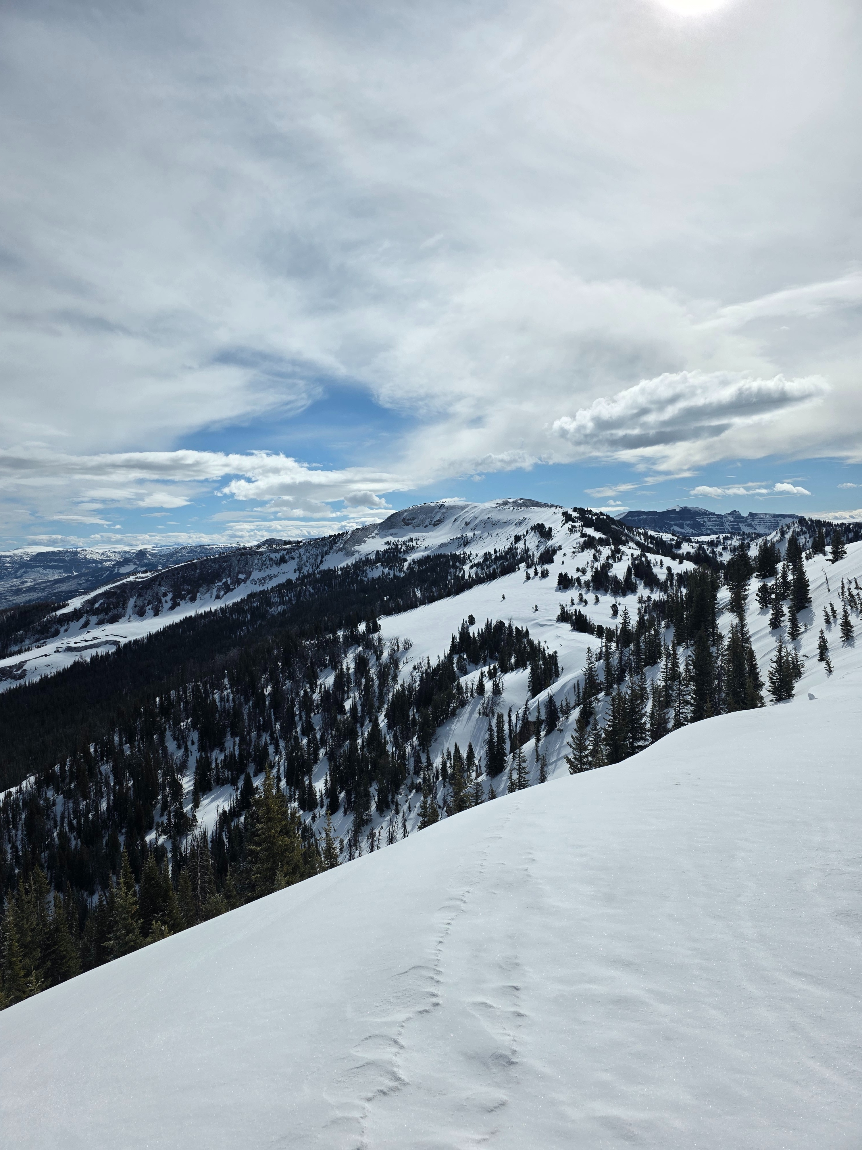
I went to go do some work on our weather station and look at conditions. At middle elevations steep solar slopes are almost melted out as well as places that have been heavily wind scoured all season. Upper elevations some steep southerly slopes and many steep west facing slopes are melted out. There is still good coverage and travel on lower angle slopes where the sun isn't as strong and northerly terrain.
East facing slopes out of the wind started to soften mid morning, I would suspect south and maybe southwest will soften a little bit before more weather moves in today.
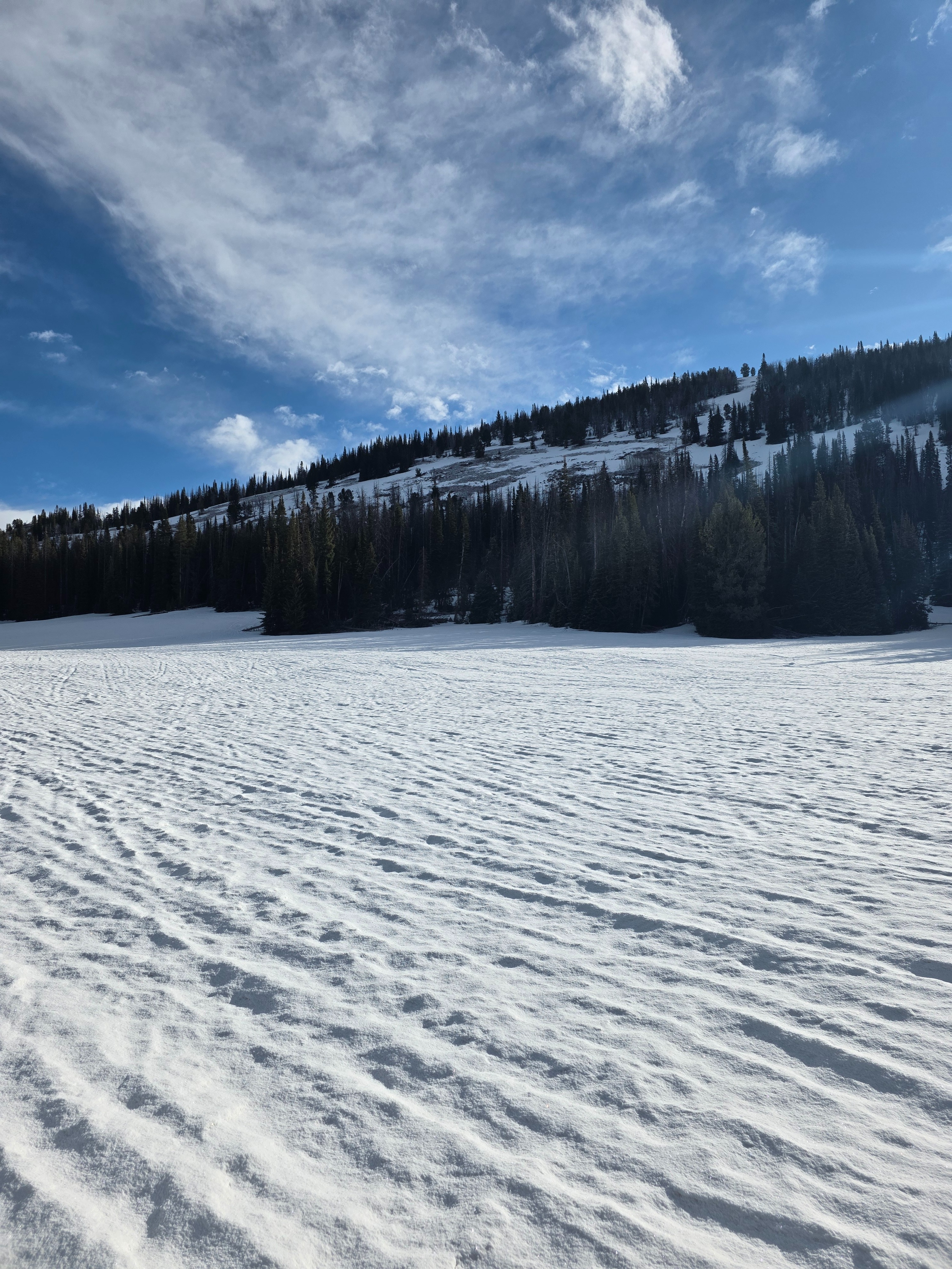
The snow surface is supportable from solid freezes. There is texture were old snowmobile and ski tracks exist, but otherwise there are many smooth surfaces. Acceptable turning existed on smooth areas that had .5" of new snow, but I also have low standards in this regard.
Avalanche danger observed today was Low, I think you would be pretty hard pressed to find an avalanche right now. If we do end up getting some snow it will generally fall on a firm bed surface, which is something to take into account.
Weather
- Air Temp
- 32F at the car
- Cloud Cover
- broken
- Wind Loading
- light
- Recent Snowfall
- 2cm
- Snow Avail For Transport
- small smounts
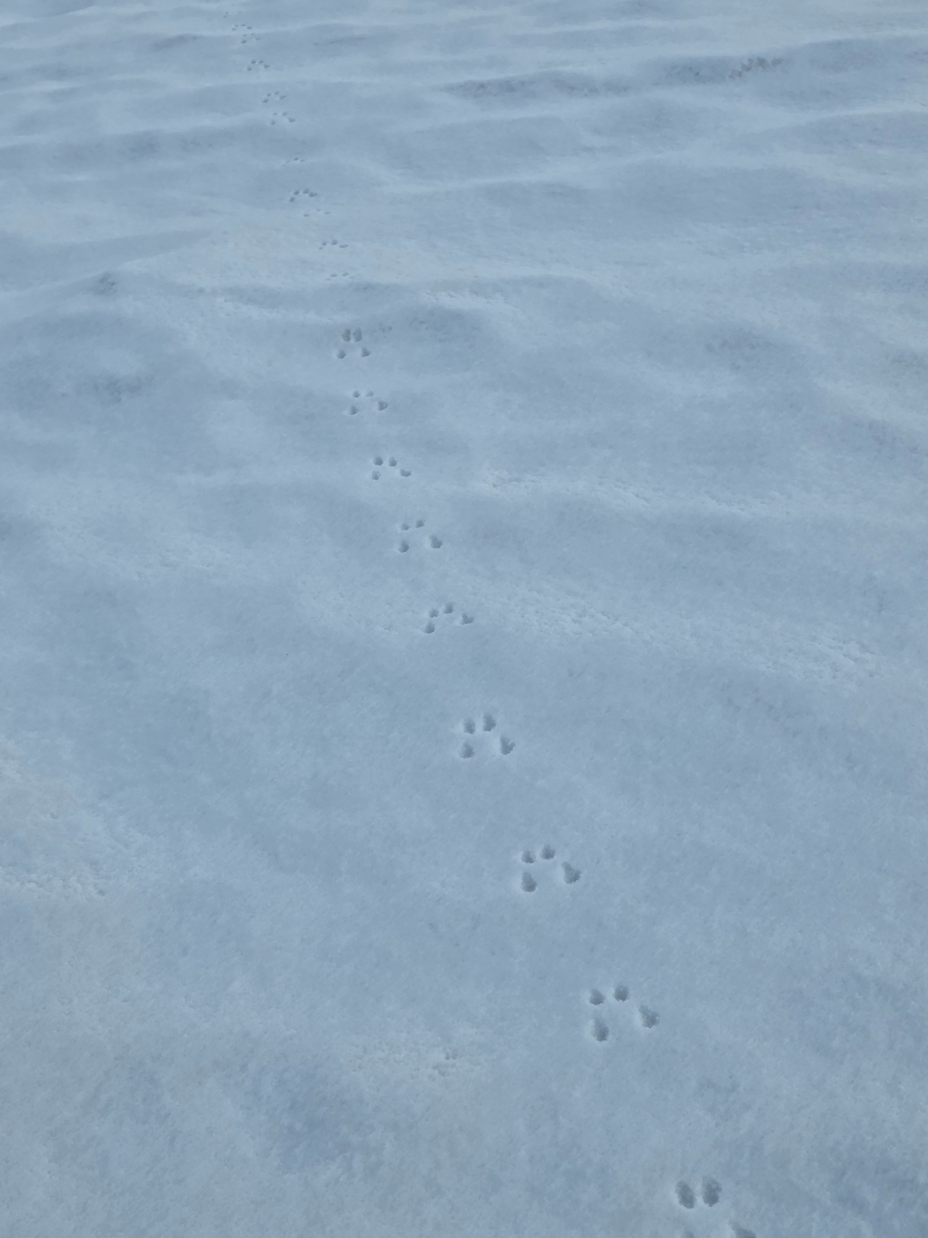
Yesterdays unsettled weather left a trace to .5" of medium density snow at middle and upper elevations. Winds were light but increasing from the south. At high elevations the wind was blowing the small amount of snow that fell.