
Quick report
- Cracking
- isolated
The storm started windy, but with no notable precipitation, in Mammoth before I left around 3 pm.
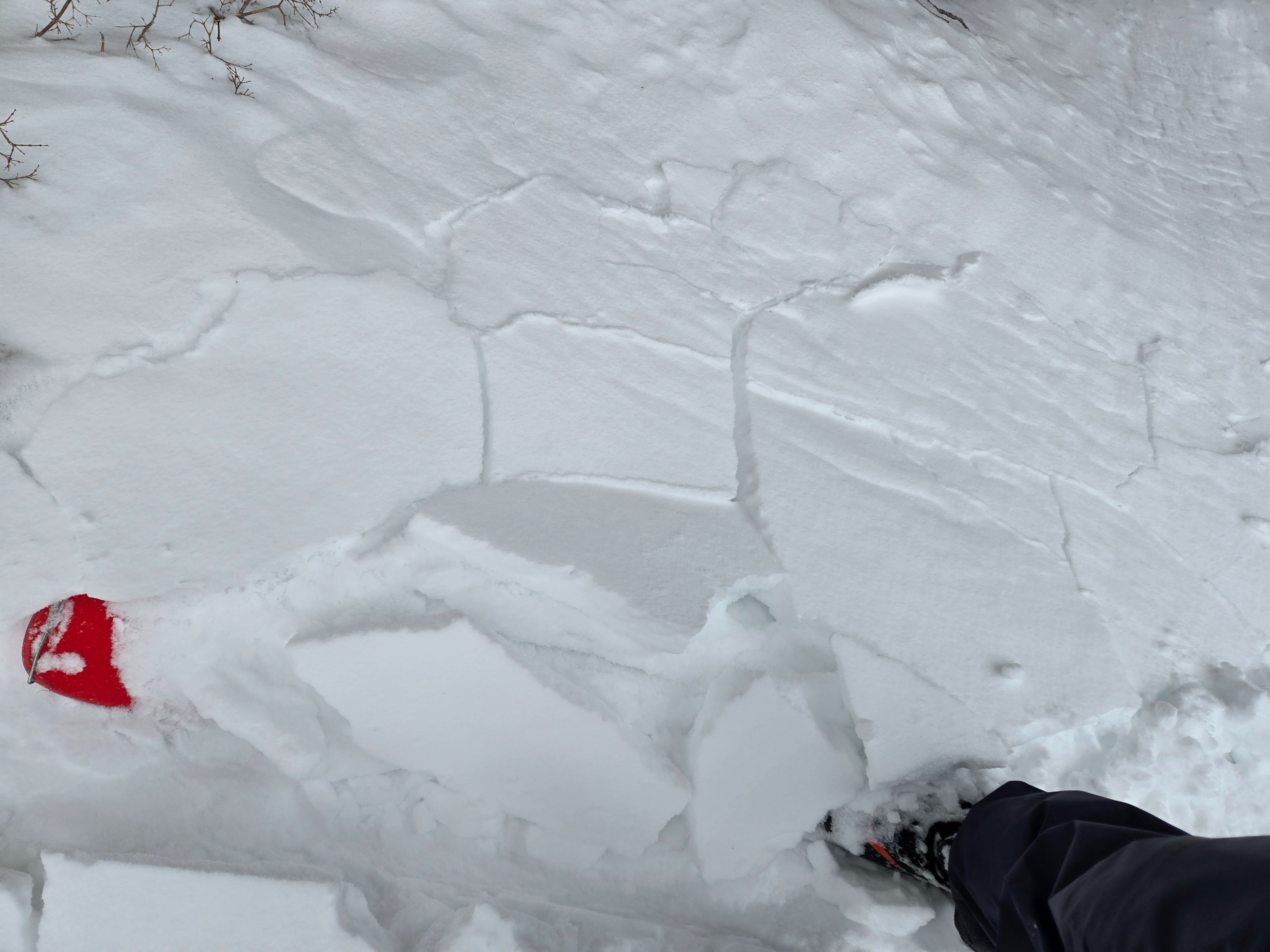
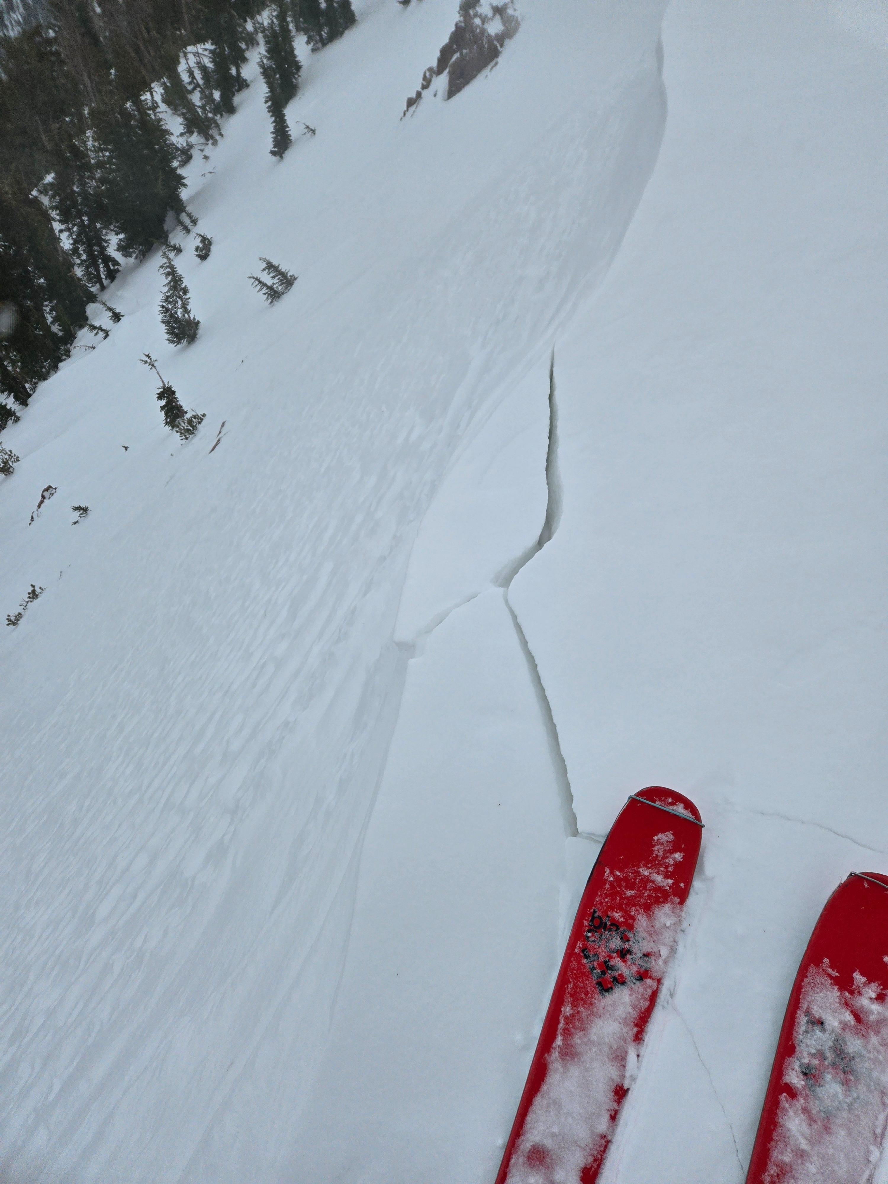
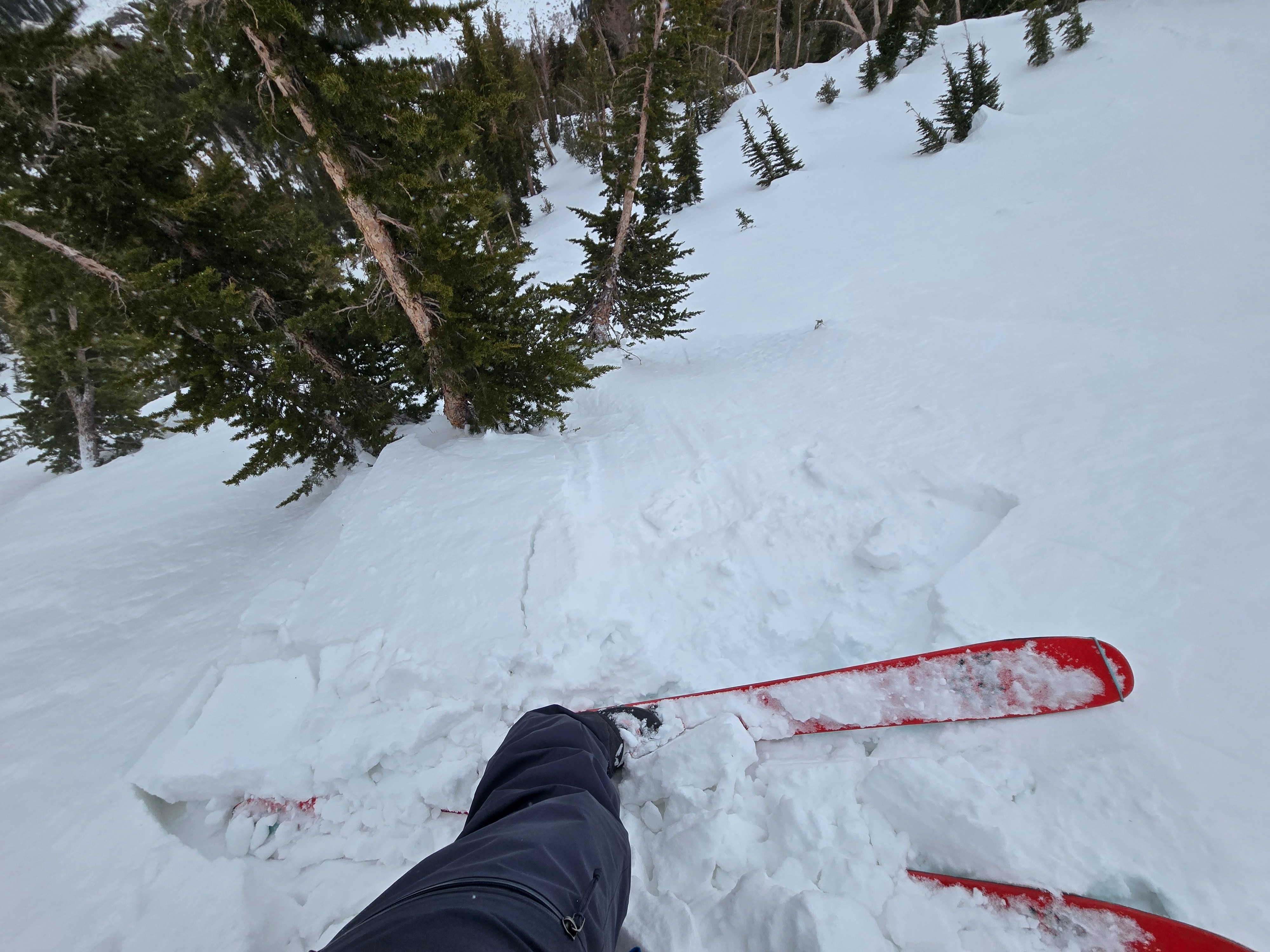
Short shooting cracks and intentionally triggering very small, fresh wind slabs on the sidewalls of gullies and downwind of tree fences on northerly aspects near and below treeline .Weather
- Air Temp
- 30s
- Cloud Cover
- broken
- Wind Loading
- intense
- Rain Elevation
- Below 8500
- Recent Snowfall
- 0
- Snow Avail For Transport
- moderate amounts
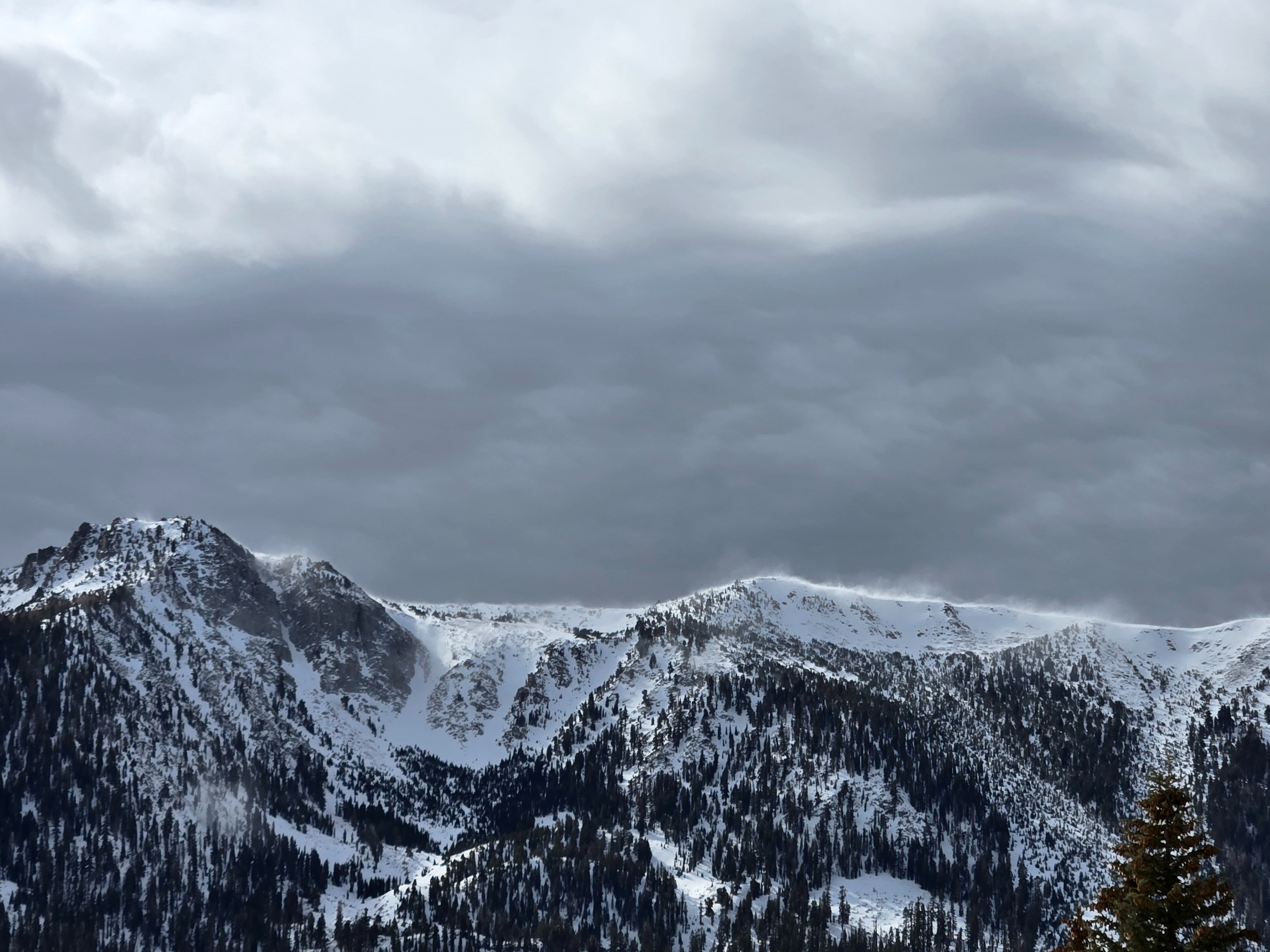
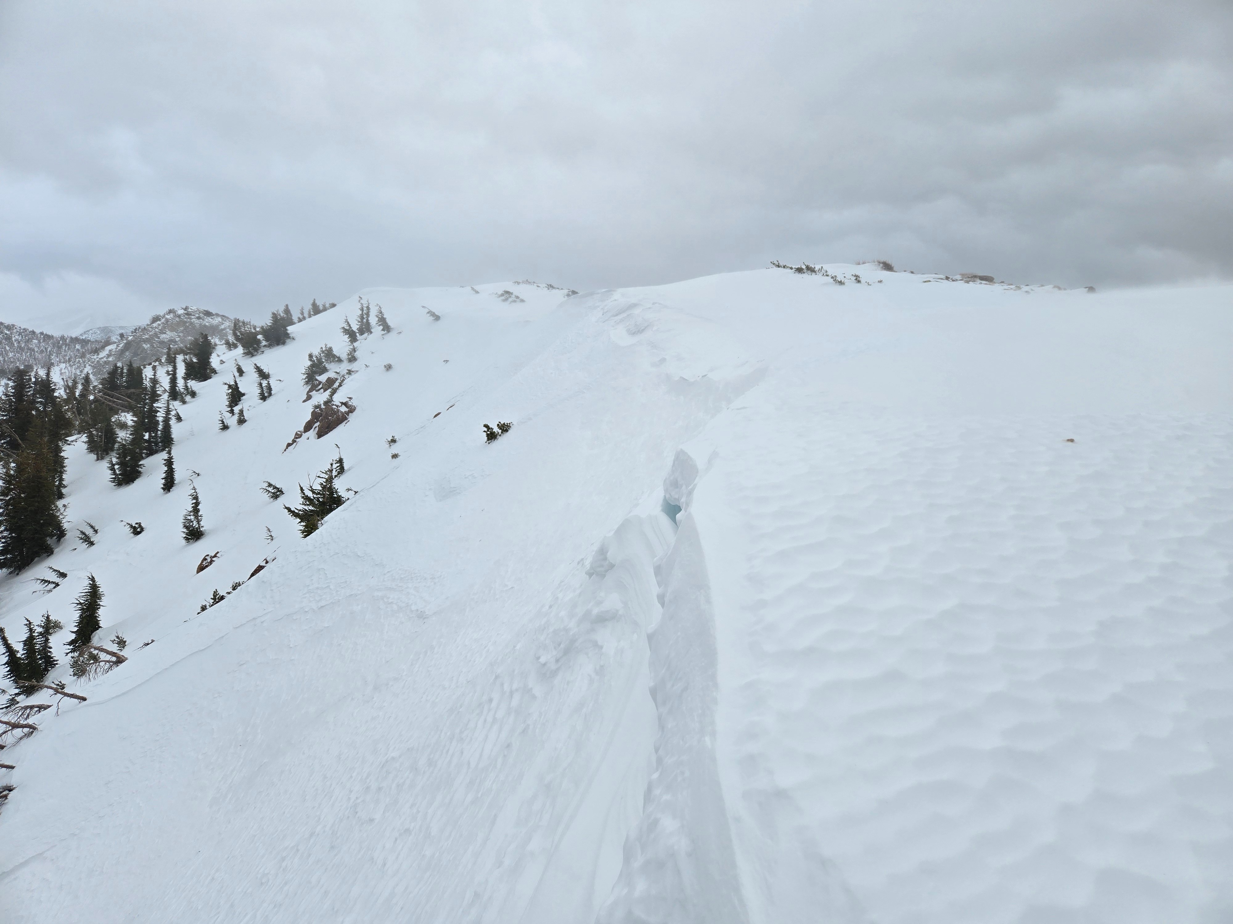
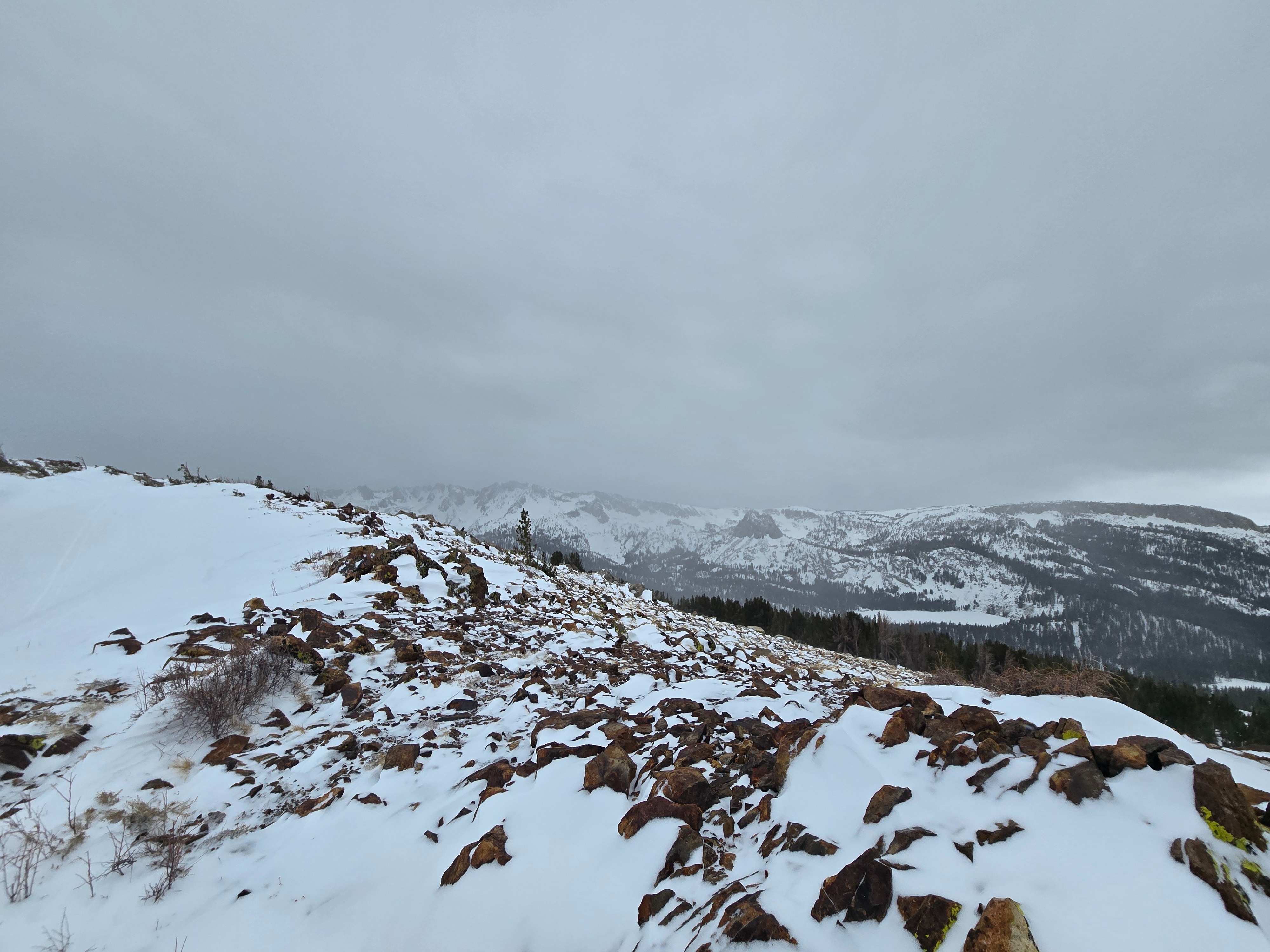
Increasing south wind and moderate to intense blowing snow on ridgelines. Occasional light showers of rimed snow. The storm seemed to intensify around 2 pm when the Mammoth Crest became socked in, and the wind picked up enough to blow me over. No rain on snow while I was out.
Snowpack
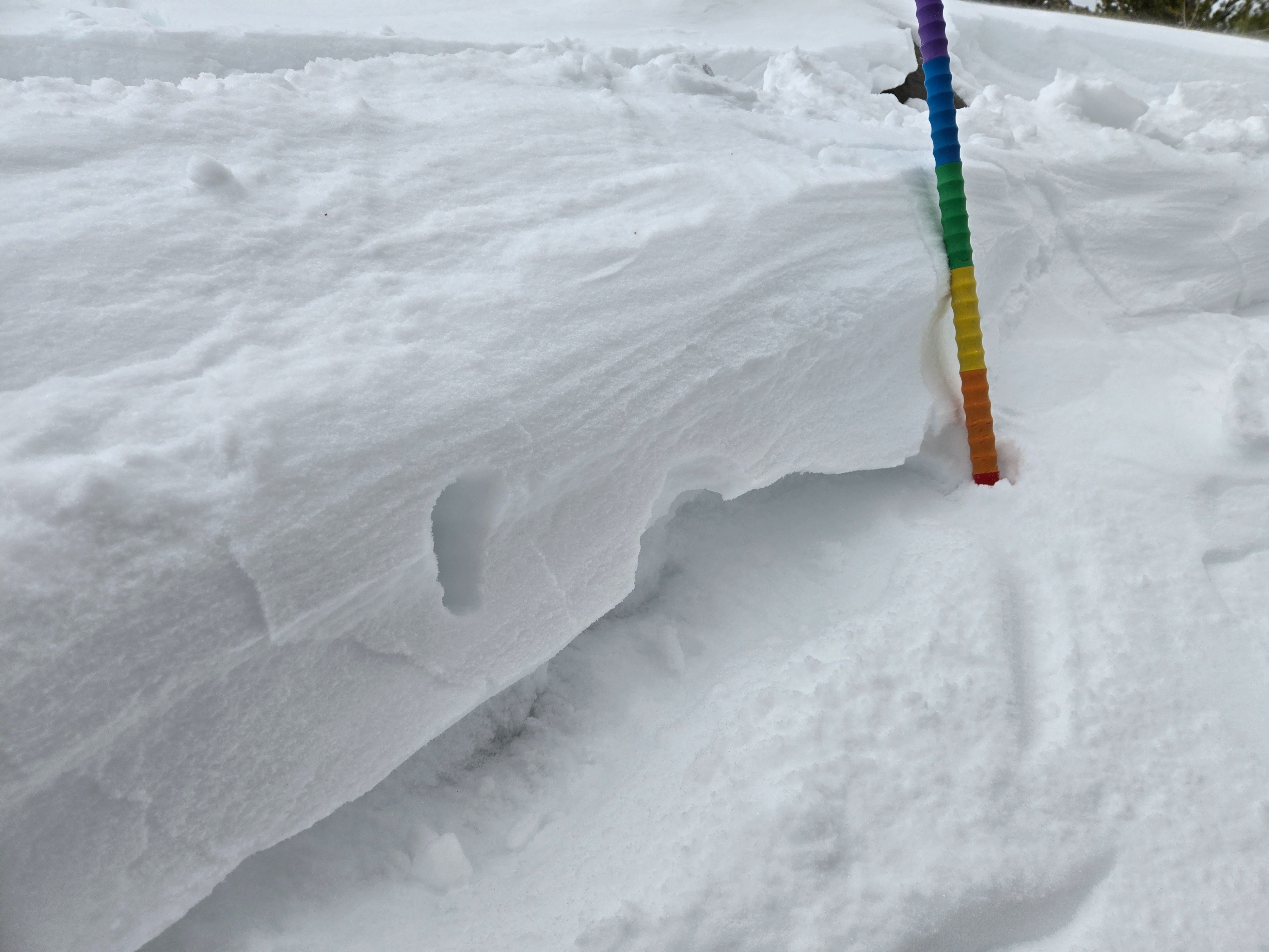
Fresh wind slabs were 4F to 1F and up to 25 cm thick (up to size D1.5 possible). They formed over F wind-broken gains with near-surface facets mixed in, or directly atop well-developed faceted crystals. South winds were strong enough to pull still soft snow from protected areas, or east and west aspects that had not formed a melt-freeze crust this past week. The winds were also strong enough that the easiest to trigger slabs were mid-slope: sidewalls of gullies, downwind of tree fences. Except for small reactive cornices and 1 small hard slab, slabs at the ridgeline are difficult to trigger.
In wind-sheltered areas below treeline, there is about 8 inches of F loose snow above an old 1F crust. This will easily get wet once precip turns to rain.