
Quick report
- Aspect
- North
- Red Flags
- Poor Snowpack Structure
- Elevation
- 2591 m
- Slope Angle
- 25°
- Red Flags Comment
- <p>Red flags are future. Based on what I saw today, there is enough snow to warrant concern in this area when winter decides to start. Definitely enough snow to initiate a collapse. I walked to the base of some large slide paths, I would imagine that there is more snow 1,500' higher in the starting zones, which received 8" in the storm 2 weeks ago and also likely contain deep areas of pooled graupel from the same time period.</p>
Photos below:
1. Surface Hoar, 7,000'
2. Kitty cats are traveling in the area.
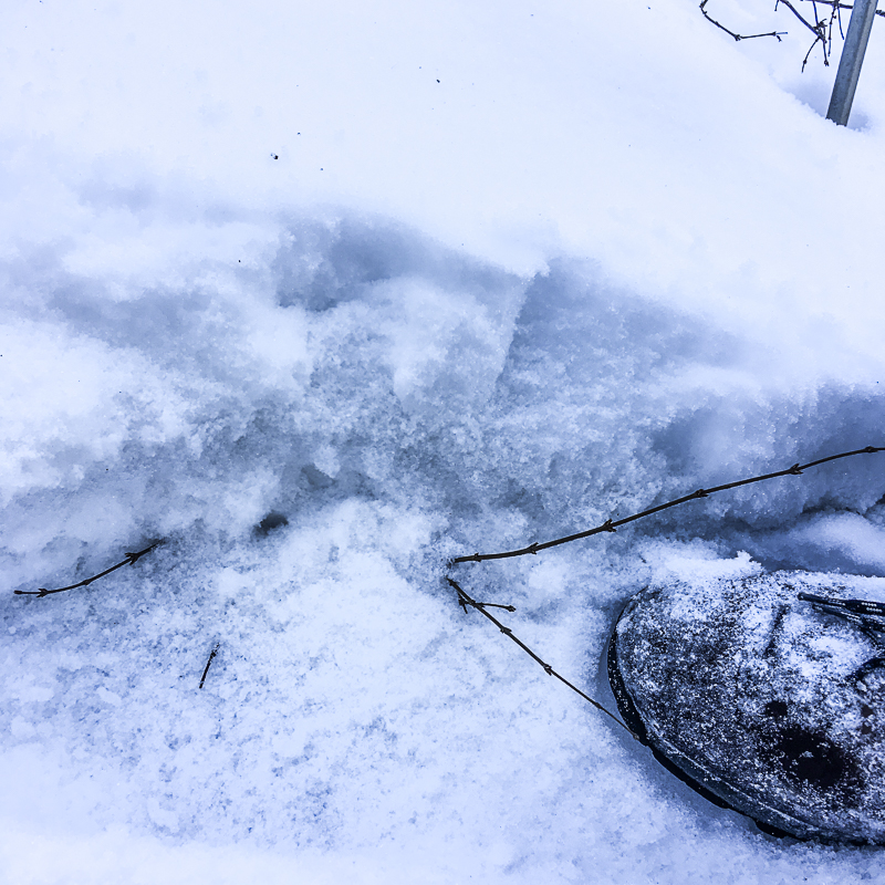
3. Snow cover @ 8,000'
Based on 2nd hand information, there is a lot less coverage in the Tushers.
High Norths may have to be avoided if we get a large storm.
Snowpack
Snow down to 6,000' in shady areas, spotty.
Shady areas have continous coverage above about 7,500' or so.
Above 8,000 feet in shady areas there is about 5-6" on the ground consisting of a basal 2-3" of decomposing melt/freeze forms, 1 finger.
The upper 2-3" is composed of decomposing to faceting snow from the storm early this week.
Some surface hoar in places.
I started at 6,000' and stopped at 8,500' when it got annoying to be punching through the basal layer when walking in the snow. I was on foot, not enough to ski.