
Quick report
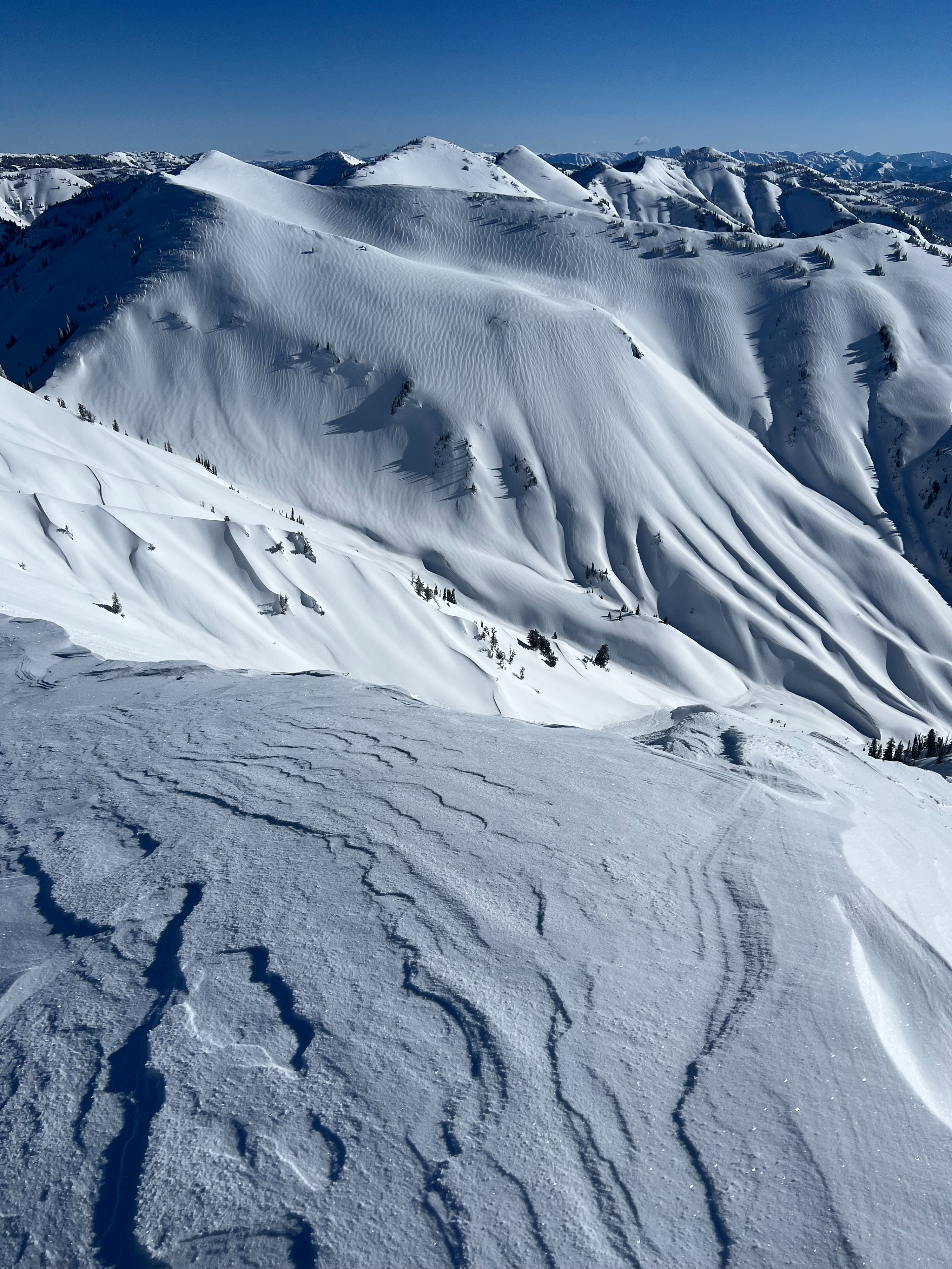
Early alpine starts with the approach of spring. 5-16" of new snow depending on wind deposition and scour, which was the primary avalanche concern. Rainline 7500-8000; covered by new snow. Moderate cold winds in the AM out of the north and continuing but decreasing in intensity by 10am. Lots of signs of wind affect, no hard wind slabs. No avalanche activity on the first lap. We got a little zealous on the second lap. Ended up triggered a couple soft slab D1-2 avalanches on the new/old interface around noon. 8-16" crown depths and decent propagation on the crust formed pre-storm. Slight change in aspect, slope steepness and warming temps all likely had a bit of an influence on increasing reactivity. We certainly didn't know it was going to happen (snow nerds aren't psychic readers despite what we like to think), but we did know the potential and discussed the likelihood, consequences, and plan (islands of safety). How do you know when you set the right amounts of safety margins and poke the dragon? Hard saying.
Avalanche
- Size
- D1.5 R2
- Type
- SS
- Aspect
- E
- Trigger
- AS
- Elevation
- 9000 ft
Around noon we triggered a few D1-D2 4F soft slabs during our second run failing on the new/old interface (melt freeze crust) in isolated steep terrain. A bit of wind slab developement could have been at play. Increased warming and steep slopes near/over 40 degrees certainly influenced this increased activity. Areas near the ridgeline with more cohesive slabs and a southerly tilt were certainly carried more energy.