
Quick report
Our persistant weak layers (PWL) are still present in our snowpack. While being stubborn to trigger the problem is widespread on all aspects and elevations. If an avalanche is triggered it is likely to step down into deeper PWLs and can be large enough to bury you. Shallower snowpack on the windward (North-West-South) aspects will have more trigger points. While the North-East-South aspects are likely to be wind loaded near and above treeline. All slopes about 30° or more should be treated with caution, but especially keep your eyes out for shallow snowpacks and wind loaded areas to reduce your likelihood of triggering a large avalanche.
Weather
- Air Temp
- 27
- Cloud Cover
- clear
- Wind Loading
- intense
- Recent Snowfall
- 30cm
- Snow Avail For Transport
- moderate amounts
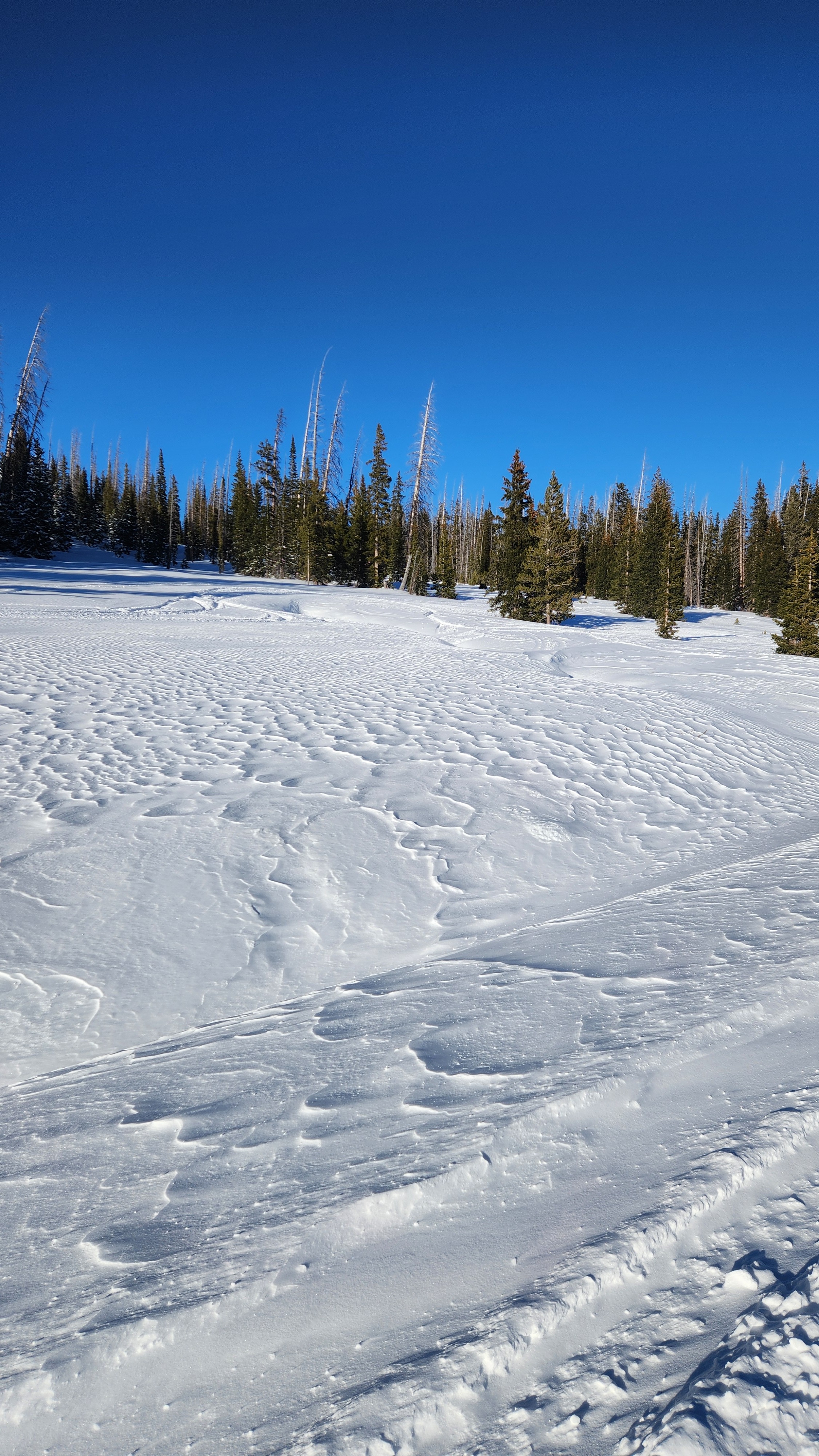
Very windy and clear sunny day. Temps hanging around freezing. Winds calming down about 6pm. About 6"/15cm of new snow.
Snowpack
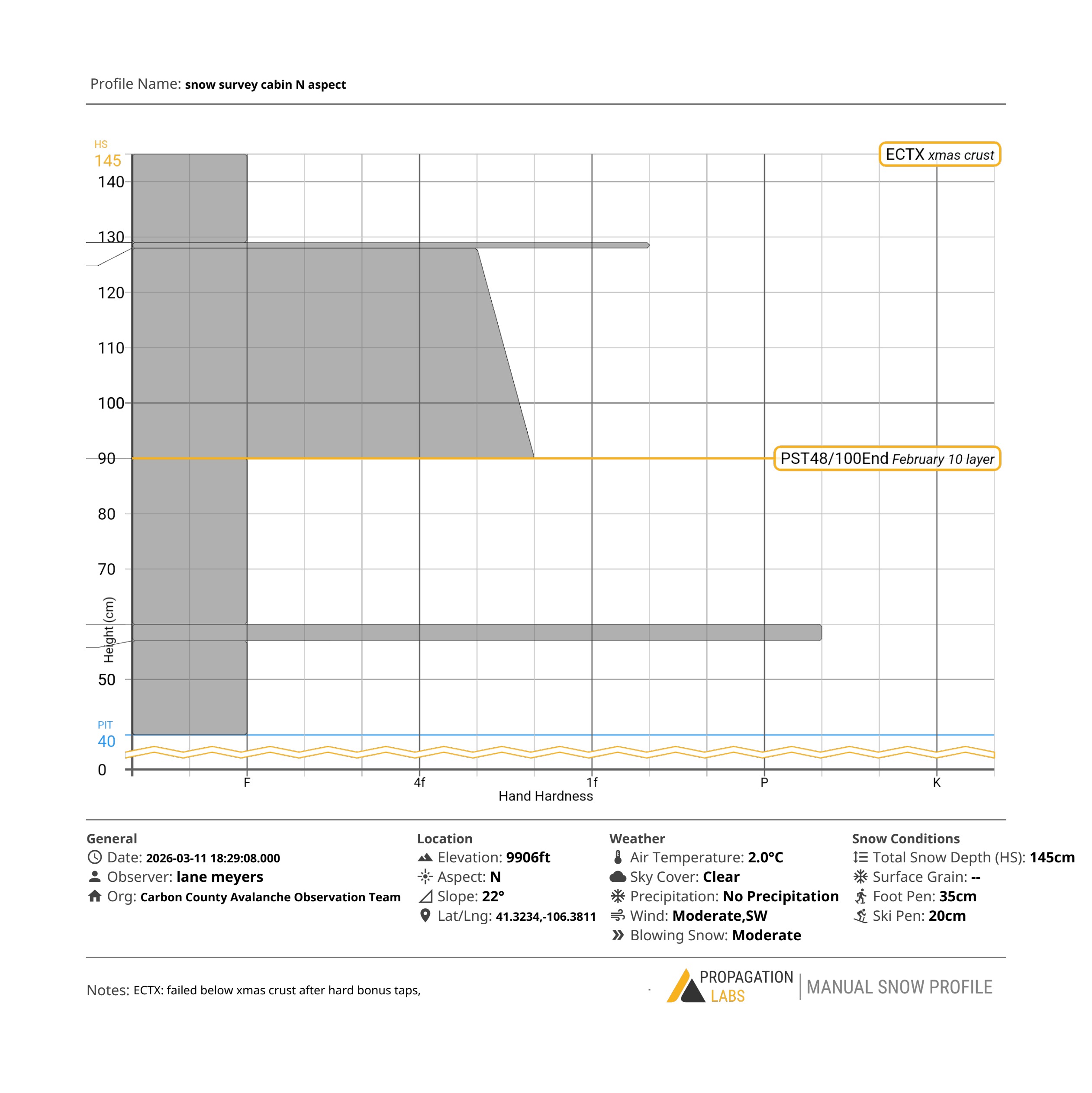
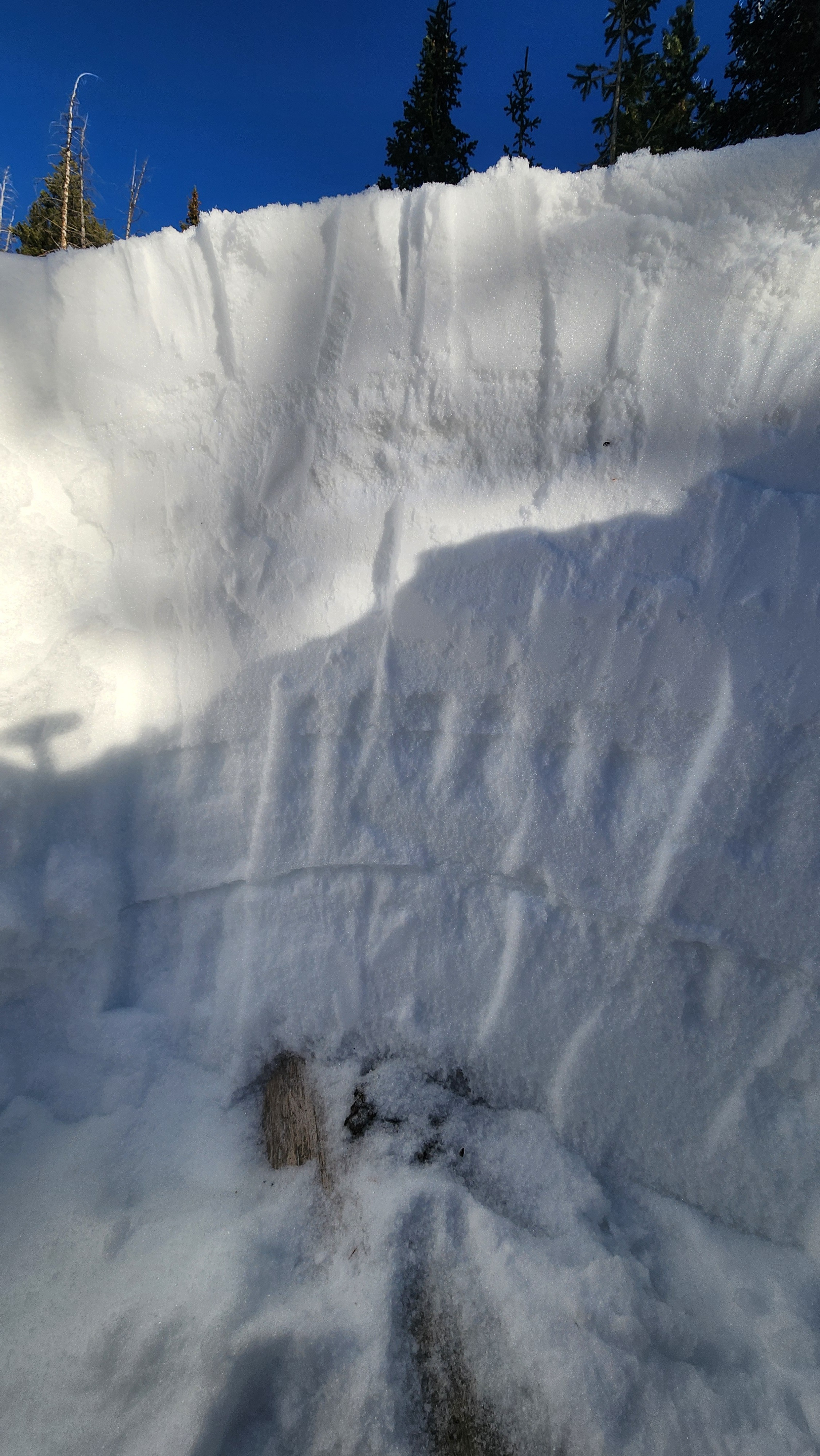
North facing aspect below treeline. HS 145cm. About 6" of new snow. The snowpack has two distinct PWL. The Feb 11th layer (55cm deep) and Xmas crust (85cm deep). The Feb 11th layer is showing to be stubborn, but if triggered is likely to step down into the xmas crust. Heavy winds with the storm last night. I imagine some of the snow was disintegrated from the wind and the rest deposited in weird areas, along with normal wind loading areas. ECTX (with additional taps failure and propagation on the Xmas layer 85cm down) PST48/100end @feb 11th layer