
Quick report
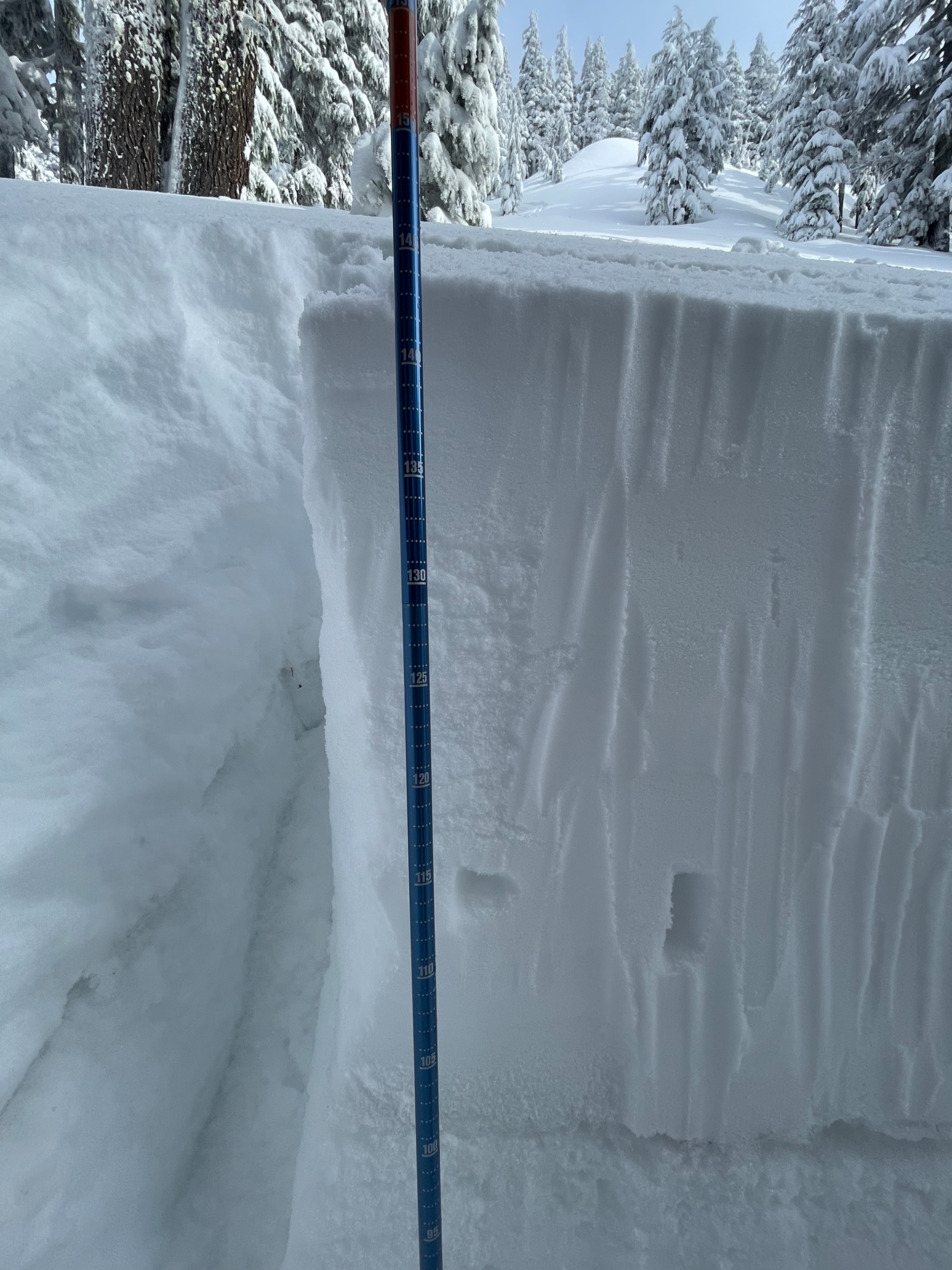
Signs of instability? n/a Amount of new snow/total snow? HS 146cm; 54cm from latest storm cycle Weather observations? Calm winds with dense fog/low cloud cover early in the day. Visibility improved around 11:30am, transitioning to partly sunny with broken cloud cover. Snowpack test results? Elevation 6988', aspect 243°, 28° slope angle, 12:40pm CT23@111cm ECTN27@111cm How cautiously or aggressively did you travel? Cautious throughout with improved confidence in stability as the day progressed. Overall impression of stability? Our group didn't observe any red flags, with the exception of isolated wind drifted snow. A couple of steep, low consequence drifts were ski cut but did not fail. We did hear firsthand accounts of numerous skier-triggered D1 slides while the system was still active on 12/14 in wind-affected areas. We observed 54cm of new storm snow sitting on top of a ~3cm sun/rain crust from the last high pressure system. The new storm snow is bonding with that crust and we did not see any failures or sheering along its surface, despite testing at numerous slope angles and elevations (all W/SW aspect). During testing we did observe collapsing within the storm snow 35cm below the surface, which did not propagate. We did not perceive any inability while hiking or riding throughout the day.