
Quick report
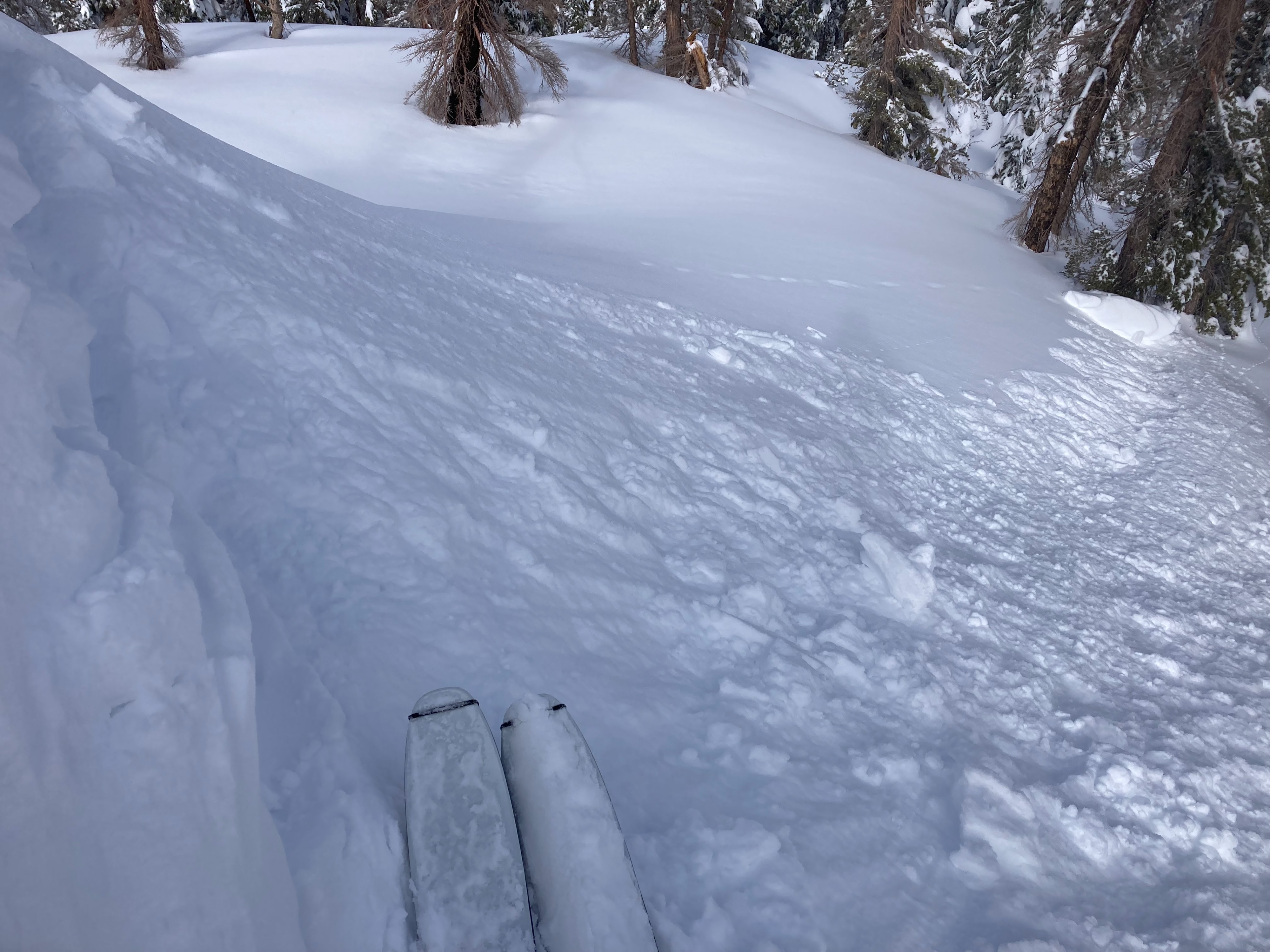
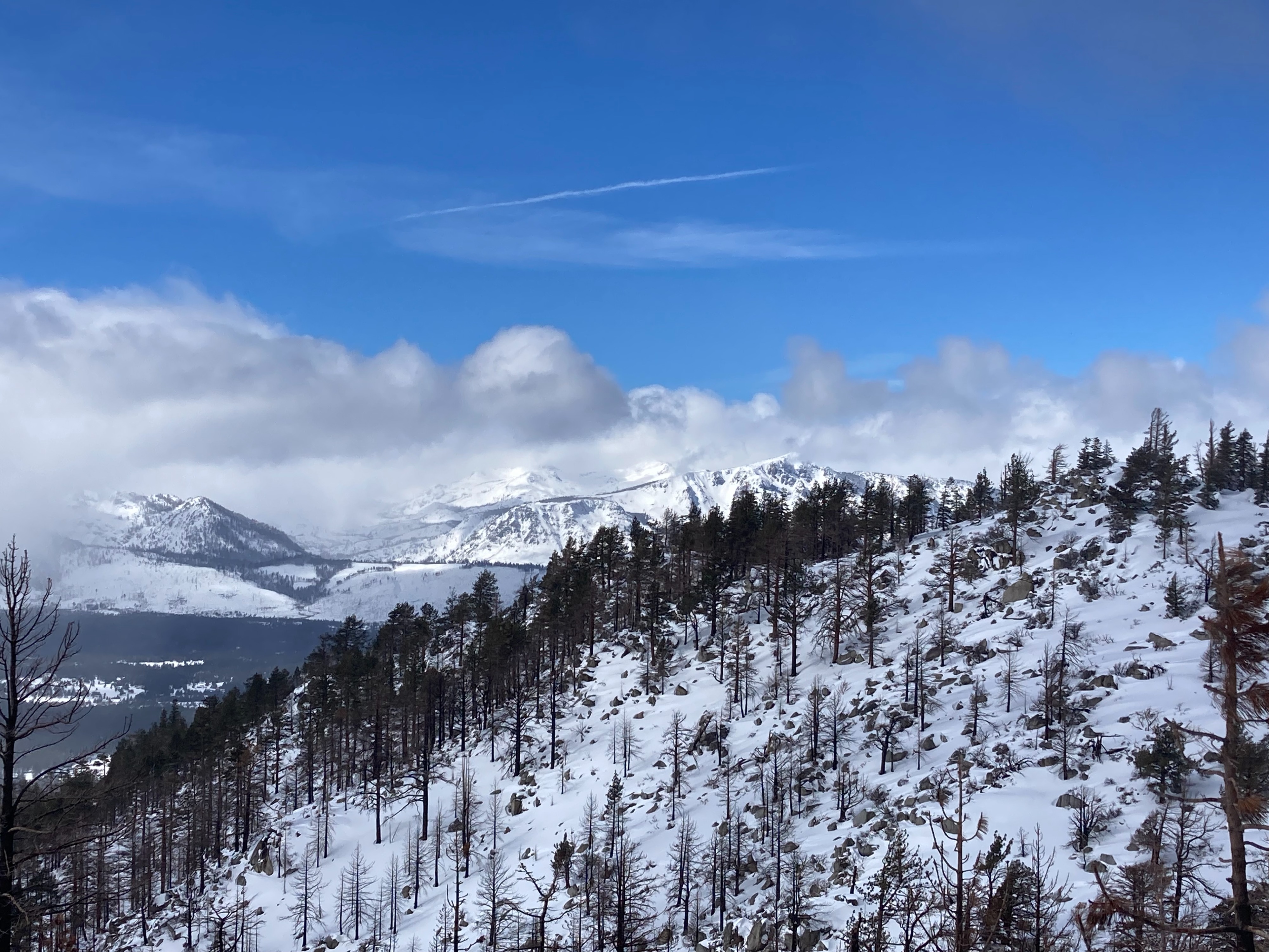
We made observations on Trimmer Peak today. Another 2 to 4'' of new snow existed here with storm totals around 2 to 2.5 feet at upper elevations. The snowpack is still pretty shallow at the bottom of the peak with up to 2' of snow below 7000' and plenty of obstacles present. As we gained elevation, snow coverage increased along with recent storm snow. There were signs of previous wind scouring and transport in near and above treeline areas, with South winds today mostly light in speed with no blowing snow. We saw limited signs of instabilities in these wind loaded areas with no cracking or signs of wind slab development. With that said, we did avoid and go around the upper peak area where steeper wind loaded terrain existed. The air temperatures decreased with increased cloud cover in the early afternoon.
Weather
- Cloud Cover
- broken
- Wind Loading
- previous
- Recent Snowfall
- 10
- Snow Avail For Transport
- moderate amounts
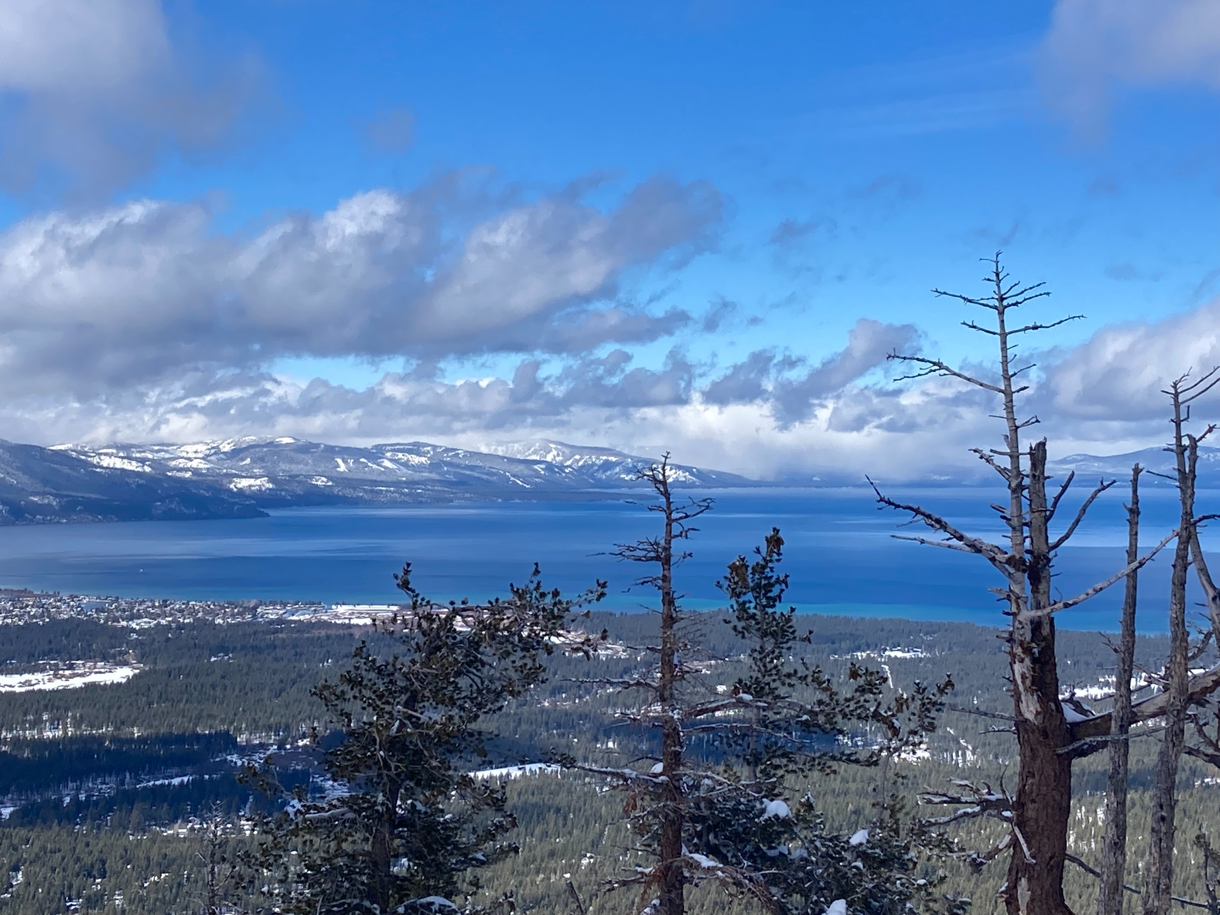
Mostly cloudy skies with periods of sun breaks throughout the day. S winds were light with evidence of previous wind scouring and loading. 4'' of recent new snow with storm totals in the 2-2.5' range.