
Quick report
- Cracking
- Observed
- Collapsing
- Observed
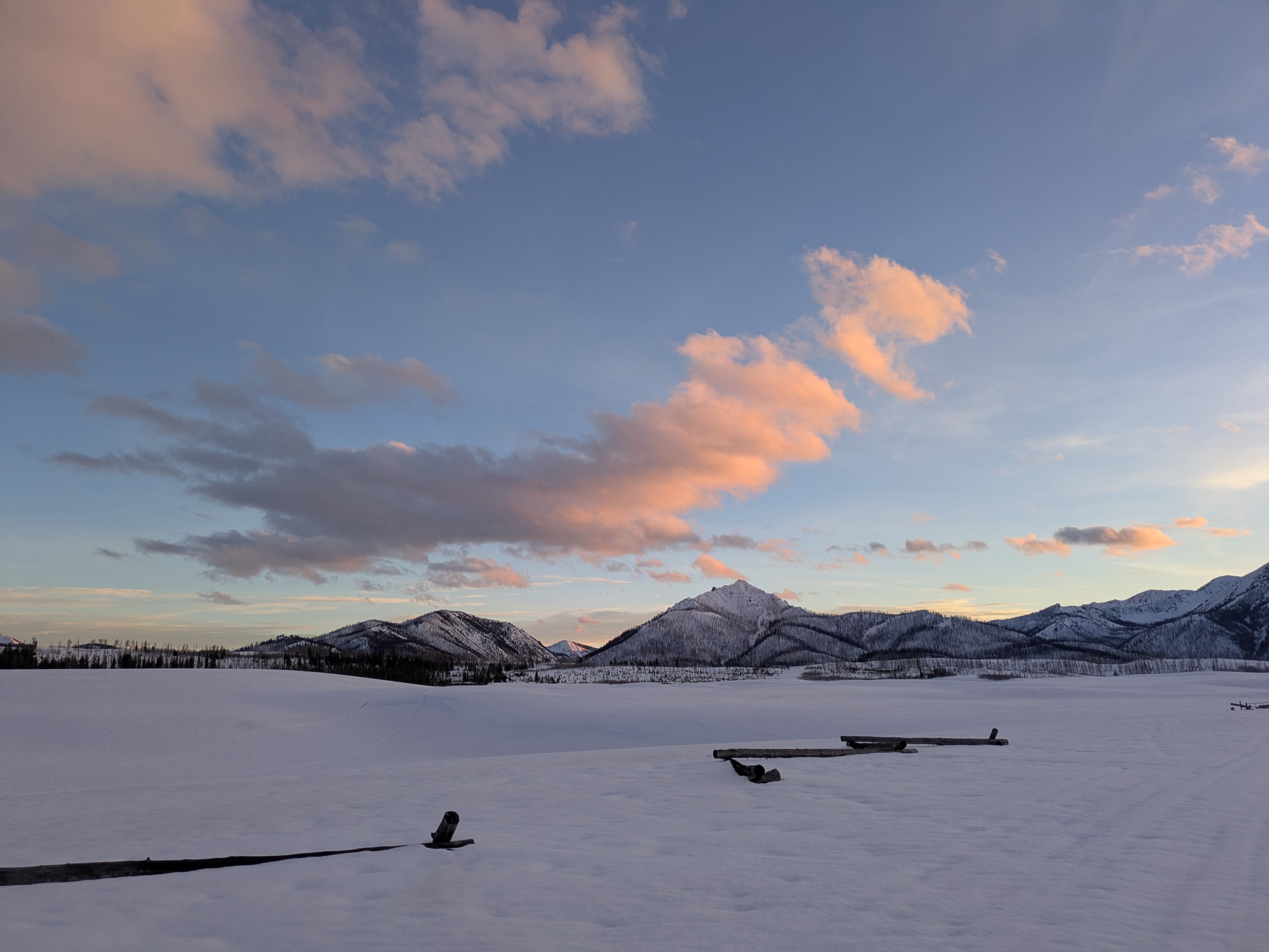
Day two of the meltdown! I observed dozens of small wet loose avalanches on steep slopes facing the sun, presumably most of these released during the day today (3/24). The previous day, near smiley creek, I observed a moistening snow surface on shaded aspects up to about 8,000'. That line crept up another 1,000' today, to ~9,000+ feet or so. It is getting harder and harder to find dry snow... We lost 25cm of total snow height in Smiley Creek in the previous 48 hours. It would have been easy to push sizable wet loose avalanches on many slopes today. On solar slopes during the day there was a large amount of meltwater produced at the surface. Skiing here had a real suction-cup feel to it. When these slopes dropped into shade the water was draining relatively quickly from the surface and I found some quality cool-down-corn (indicator that we've got some good plumbing established from the late Feb/early March drought). I didn't go looking for the wet problem today, but based on the snow I found it would have been easy to push wet loose avalanches that entrained all of the post 3/12 snow and ran on the 3/12 crust. I steered clear of the 3/12 persistent slab problem today using terrain (kept angles low-ish where problem is at its worst), and felt comfortable on solar slopes that weren't steep enough for wet activity. Expecting wet problems to get significantly worse with a big dose of heat (record setters!) and solar radiation on tap for Tuesday (3/25). At my exit from the mountains at sunset I experienced a variably supportable valley bottom crust that I would periodically punch through with my boots and the track of my sled. These trapdoor conditions pointed to a snowpack that was weakening and becoming wet throughout. Clear skies in the evening were allowing for a lot of longwave radiation to be radiated out from the snowpack, and I expect we will get a decent freeze of at least the snow surface overnight (snowpack will retain its liquid water further down). In places that received less snow during the March storms I expect we will get a nice window of corn skiing on the morning of 3/25 before conditions deteriorate. I experienced a few collapses with associated cracking in thin, windswept snowpacks where much of the snowpack was becoming wet. These did not extend more than 2m from triggering location.
Weather
- Air Temp
- HOT!
- Cloud Cover
- few
Hazy, milky skies in the morning hours, becoming much more clear in the afternoon. The Smokys, Sawtooths, and White Clouds all saw an extended dose of direct sunshine through much of the afternoon.
Avalanche
I observed dozens of small wet loose avalanches on steep slopes facing the sun. These were mostly D1s with some D1.5s. I didn't go looking for the wet problem today, but based on the snow I found it would have been easy to push wet loose avalanches that entrained all of the post 3/12 snow and ran on the 3/12 crust.