
Quick report
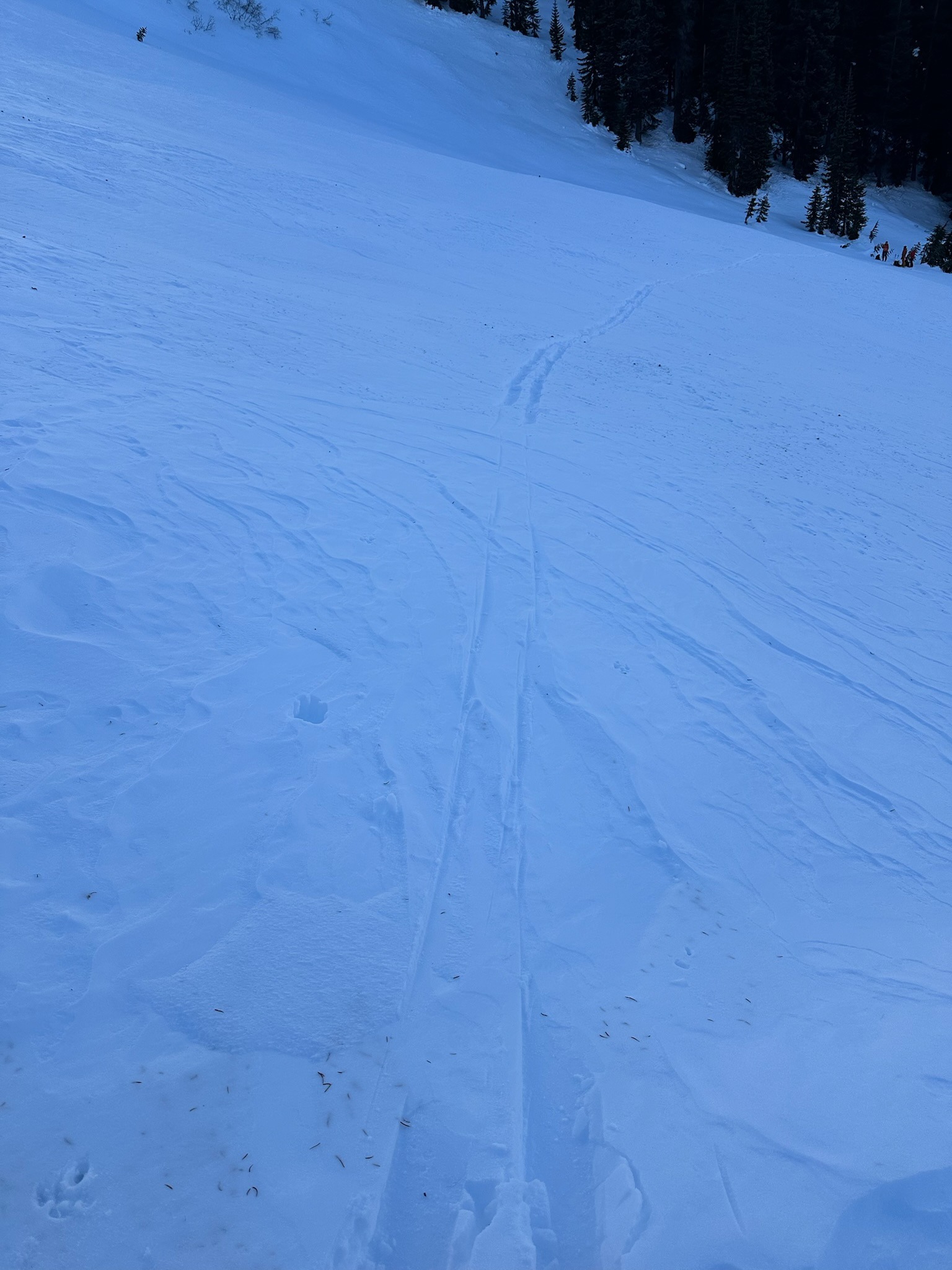
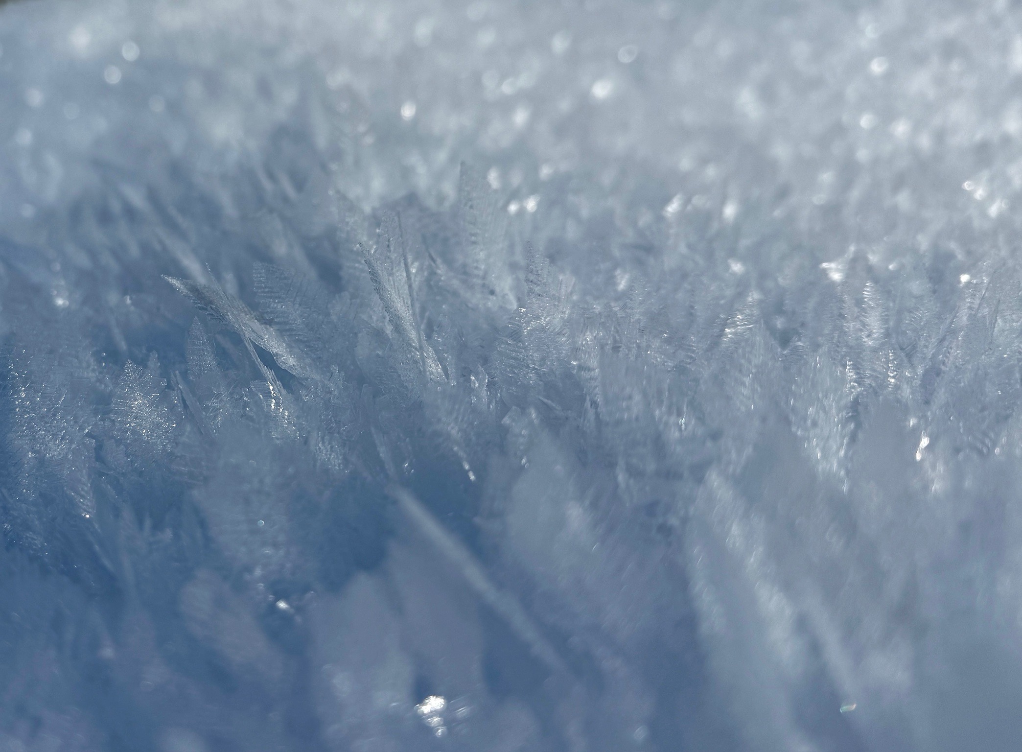
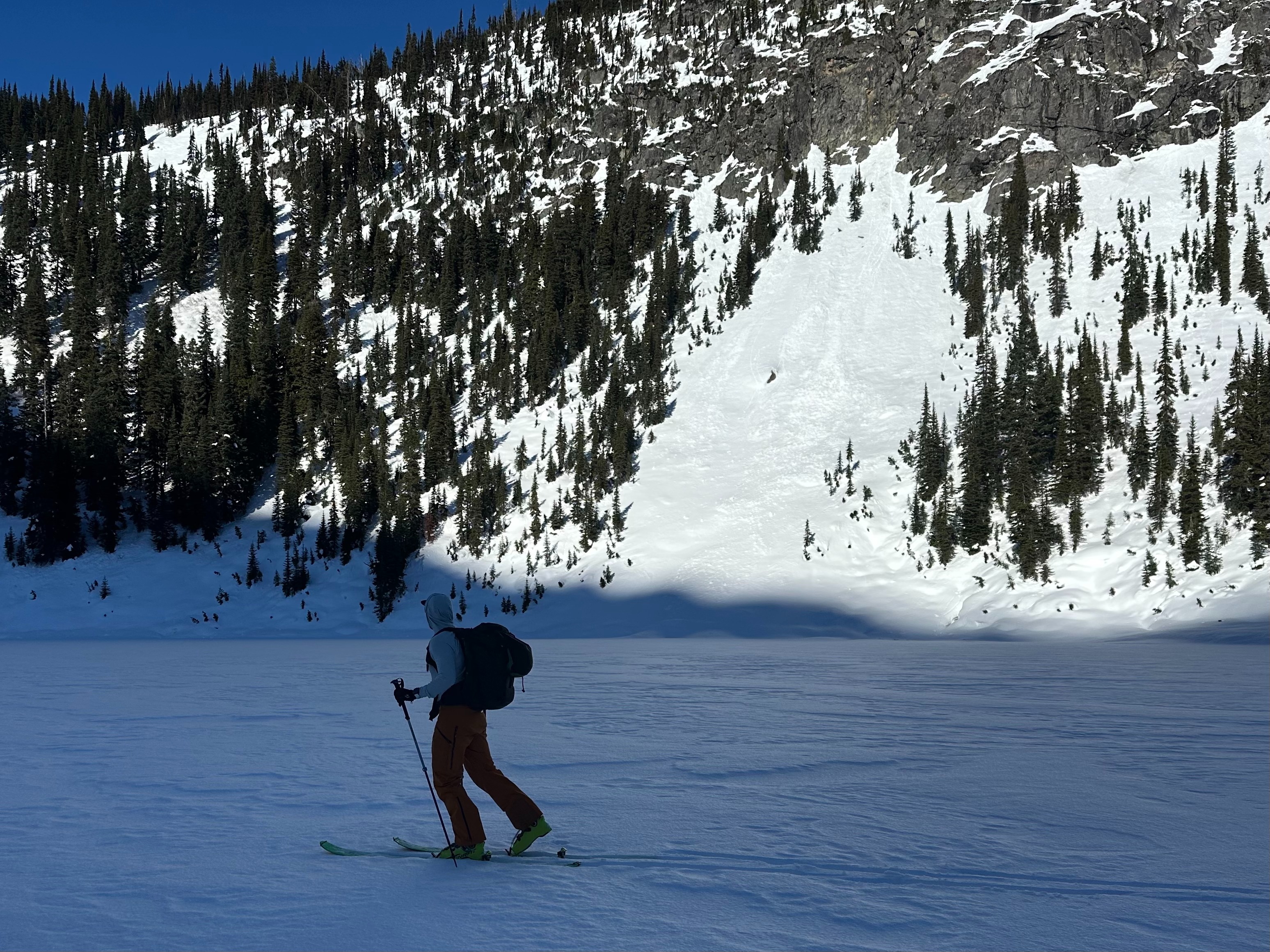
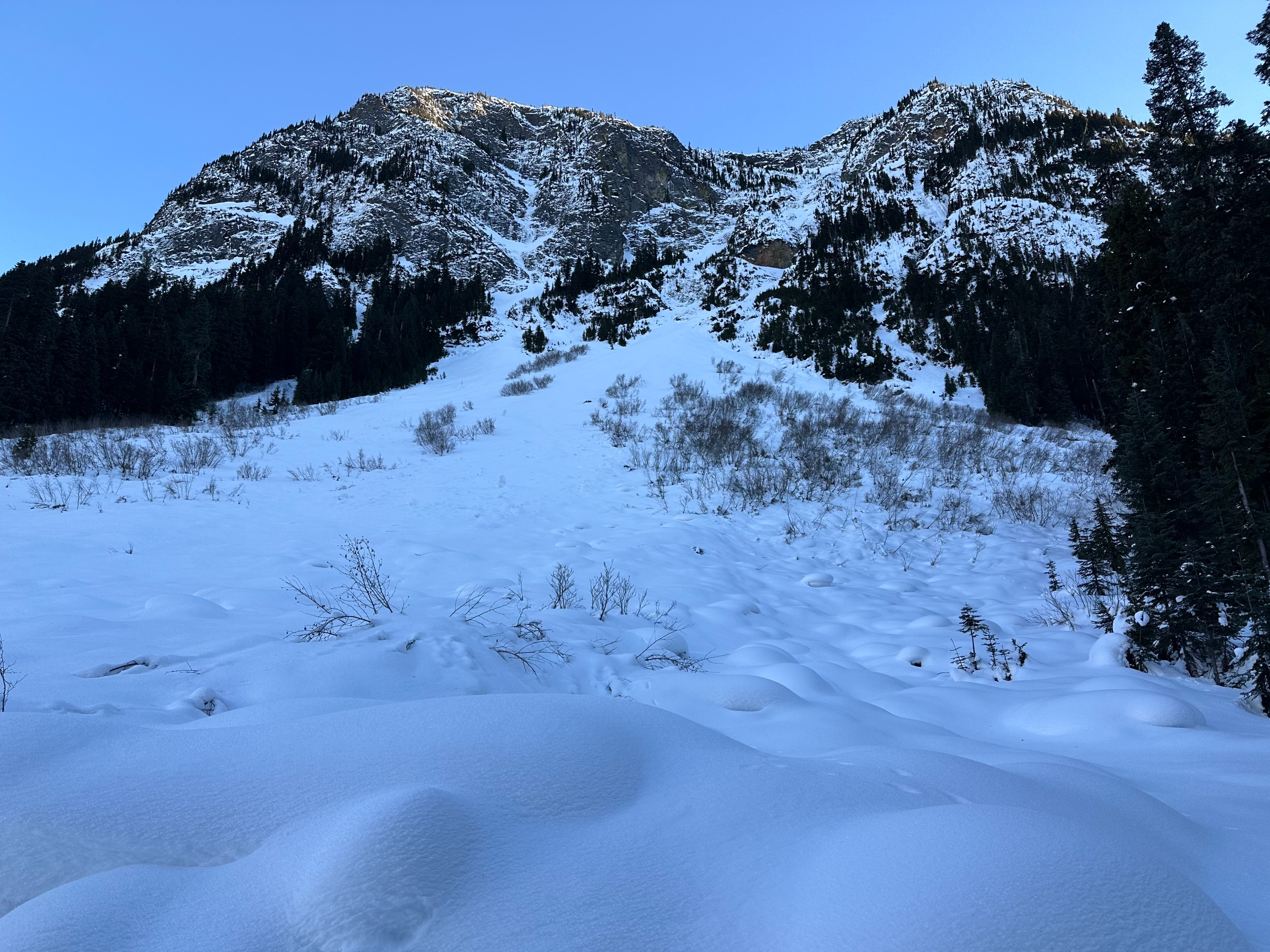
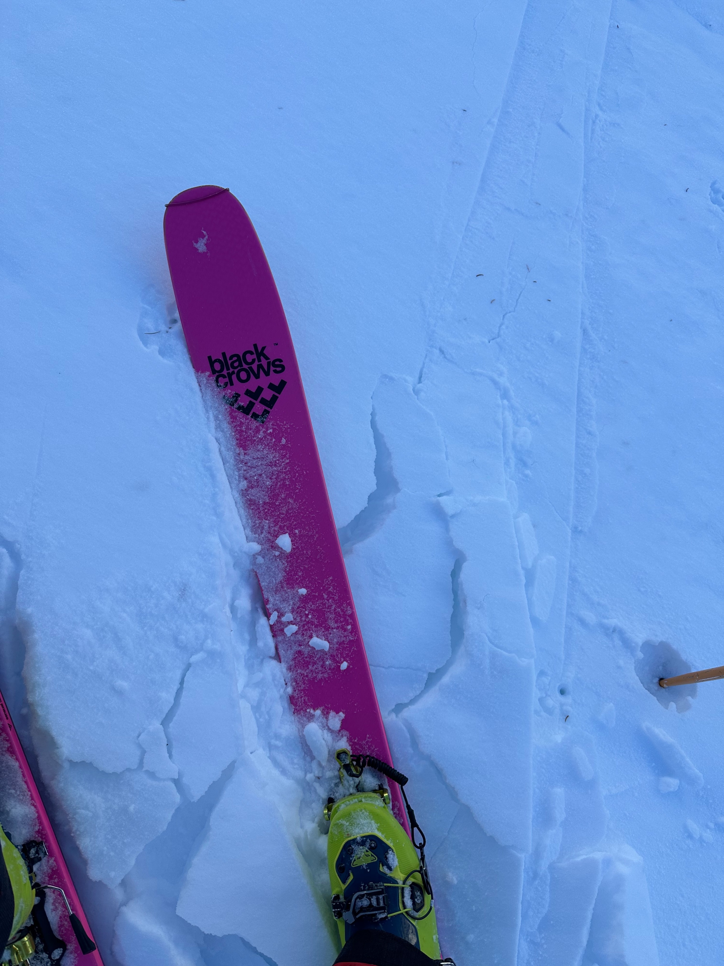
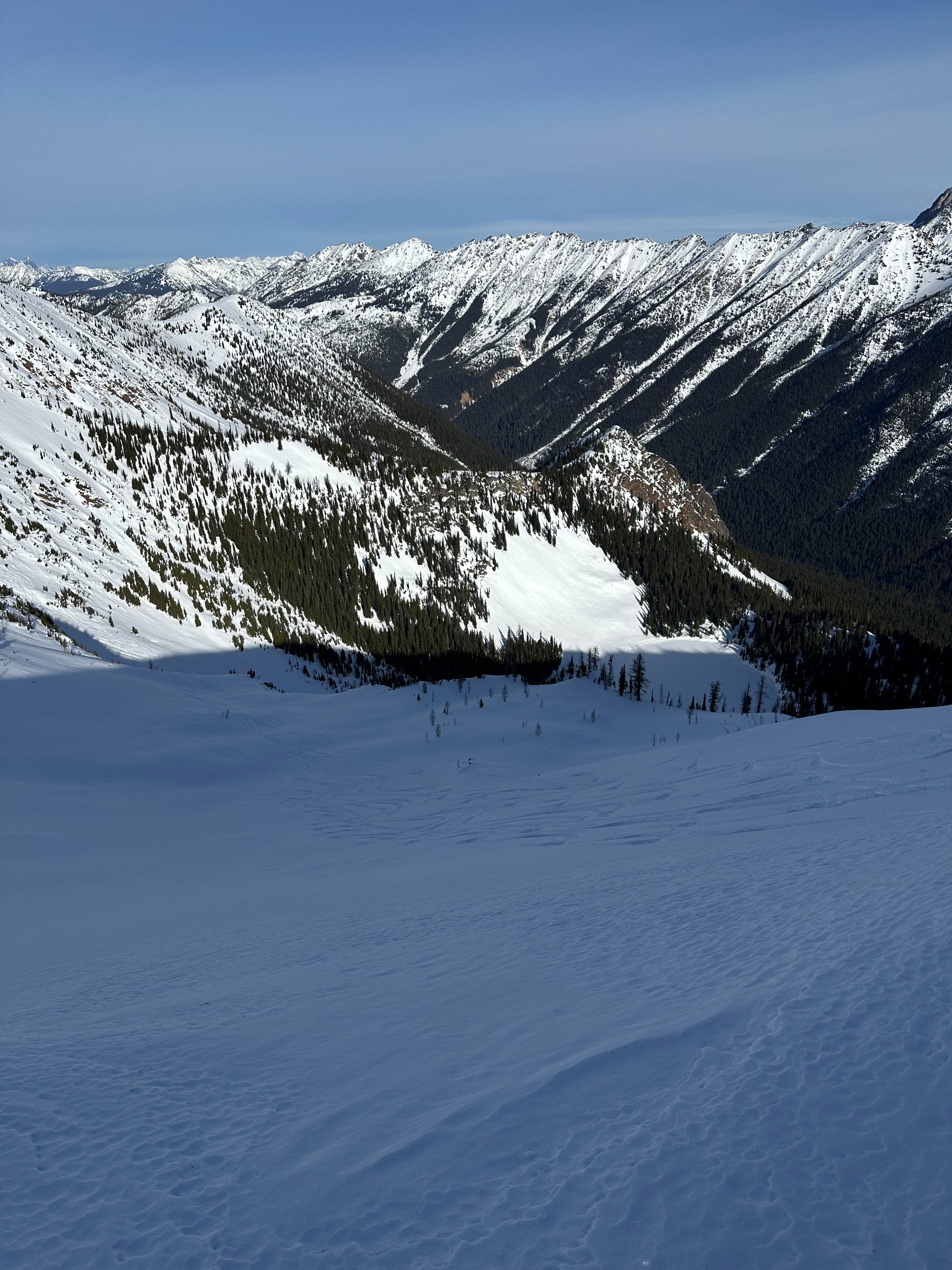
Our group sledded up to Rainy Pass, switched to skis at the TH, skinned the summer trail from the TH to Ann Lake, ascended to Heather Pass and then up the shoulder of Crooked Bum, descended on a roughly NNW aspect to the creek that drains from Lewis Lake, and then completed the circumnavigation of Crooked Bum back to the Rainy Pass TH. The snow depth board near the TH showed around 4' of snow depth. We experienced a wide variety of snow conditions as we traveled: "coral reef" of varying hardness in dense trees, soft and deep layers of surface facets in areas protected from both sun and wind, variable wind-effect on unprotected (from wind) shaded NE-N-NW aspects above Ann Lake, and nascent Spring conditions (moisture in the snow sufficient to make cohesive snowballs) in the sun near Heather Pass on a SE aspect. (The SE fall line from Heather Pass to Ann Lake had a veritable potpourri of conditions due to sun/shade and previous wind.) The descent from the SW shoulder of Crooked Bum was enjoyable skiing with careful navigation, and travel low down along the creek was pleasant but required navigating small open creeks and other obstacles. Our group also visited the Liberty Bowl/Blue Lake area (10cm of softer-than-F snow over 80cm of 1F in a 90cm hasty pit at ~6000 on the W aspect above the lake) on January 28th. We rode the heli on the 30th to relatively far-flung areas (Beebe, Tatie, Azurite Pass, some without a name on the map) with similar experience — some soft snow, some firmer snow, some hard snow with lots of local (and even micro-local within 20') variation in surface conditions but generally harder up high (>7000') at ridgeline and softer below 6500'.