
Weather
- Cloud Cover
- overcast
- Wind Loading
- none
- Recent Snowfall
- 2
- Snow Avail For Transport
- small smounts
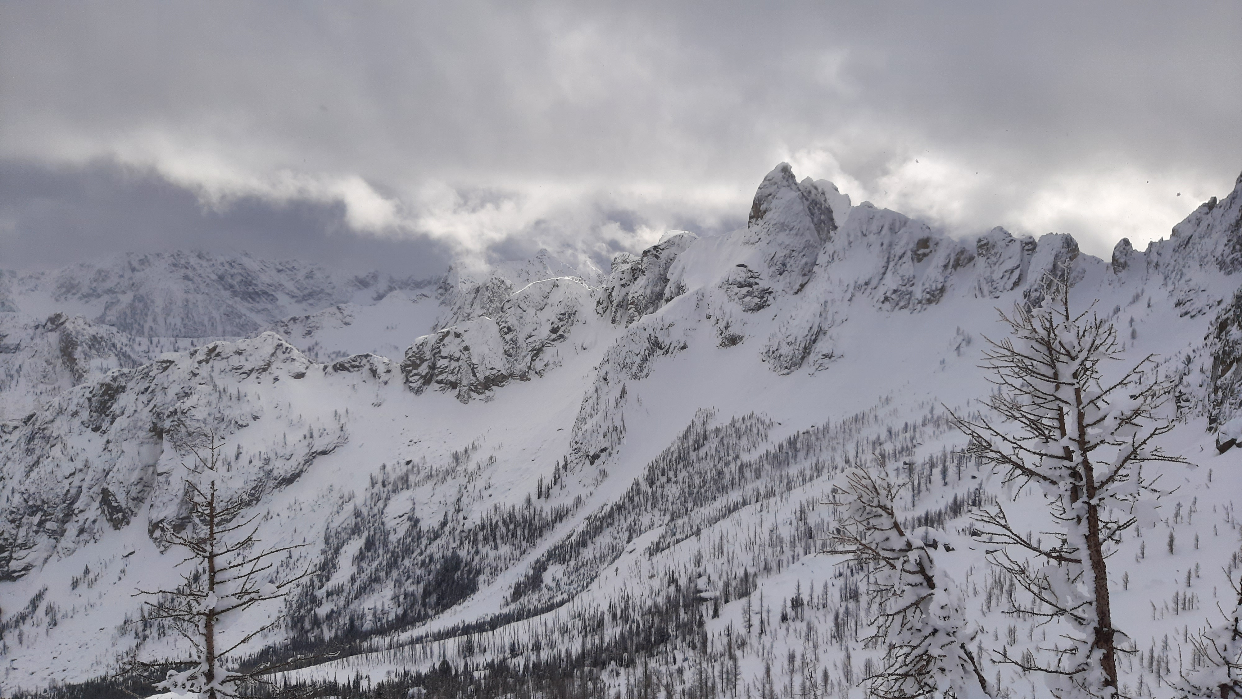
Mostly calm. Cloud levels waivered through the day w the bottom of the cloud deck 7,500-8,000ft
Snowpack
Above 6,000ft there's an averages of 25cm of recent, dry snow over the 1/31 crust with many upper elevation slopes holding more (25-35cm). In the upper Cutthroat Lake basin we consistently found 45cm of recent snow above 6,500ft.
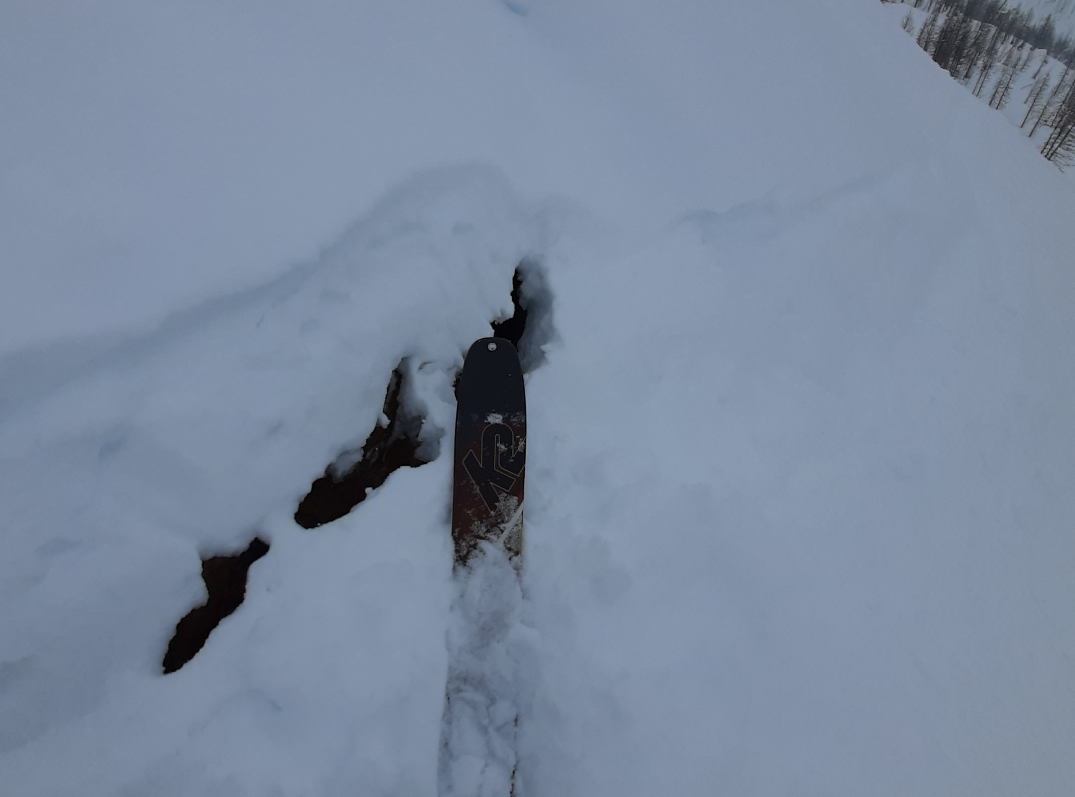
Near 6,000ft there's only 5-7cm of recent snow over the crust. Recent snow was genearally well-bonded to the crust in all terrain that we traveled in.
4 different upper elevation profile sites found the 1/31 crust to be mostly 30cm thick averaging P hard. Between 6,000-6,200ft (and possible somewhat lower) we found the crust was thinner (15cm) and slightly softer, with more defined ice layers at the top and bottom interfaces. While we didn't travel at low elevations, we suspect that the crust is very thick there. Below the 1/31 crust, upper and mid snowpack slabs were strong (1F-P). Regardless of the strength of deeper weak layers, it appeared that the stout upper and mid snowpack would keep bc travelers from impacting layers below. In the West Fork of Cedar Creek we dug 2 profiles (SSE, 7,200ft and ESE, 6,900ft) we dug to what was the Dec crust/facet layer. While we could make out the thicker layer, the individual December crusts and weak layers that had once been evident have now merged and aren't distinguishable from eachother. Deep Tap tests produced no results in both locations and the layer was moist and the grains were significantly transformed by meltwater.
Profile: West Fork of Cedar Creek, ESE 6900’
HS 201cm, HST 28cm
201-171cm: F-4F, DF, dry
171-172cm: 4F, FCsf, 0.3mm, dry, Tilt Test- hard, clean
172-141cm: 1F+ to P hard, 1/31 MFcr
141-90cm: P, dry to moist
90-66cm: 1F-1F-, Jan 8th @ 90cm?, moist
66-35cm: 1F-P, Dec MF/FC, moist, Deep Tap @ 66cm- no results of note
35-27cm: 1F, moist
27-26cm: K
26-0cm: 1F
Profile: West Fork of Cedar Ck, SSE 7200’. HS 155,
150-124cm: F-4F, DF
124-95cm: K, MF/cr (Jan 31)
95-80cm: P, MF ( moist)
80-65cm: P, MFcr
65-50cm: P, rounds
50-45cm: 1F, MFcr (mid-December)
45-0cm: Mix of rounds, crusts, and facets to ground
CT and DT results
unremarkable failing at
ground
Profile: West Fork of Cedar Ck, flat, 6100’
HS 150
0-7cm F-4F hard, HST, dry
7-25cm 1F+ to P hard ,1/31 MFcr
25-48cm 1F hard, moist
No tests
Profile: Cutthroat Lake, NE 6200’
HS 270, HST 34cm (F-4F+)
34-46: P hard w K hard thin layers top and bottom, 1/31 MFcr
46-90cm: Mid-pack 1F to P hard, moist
160cm: Dec MFcr/FC, barely discernible w probe
Avalanche
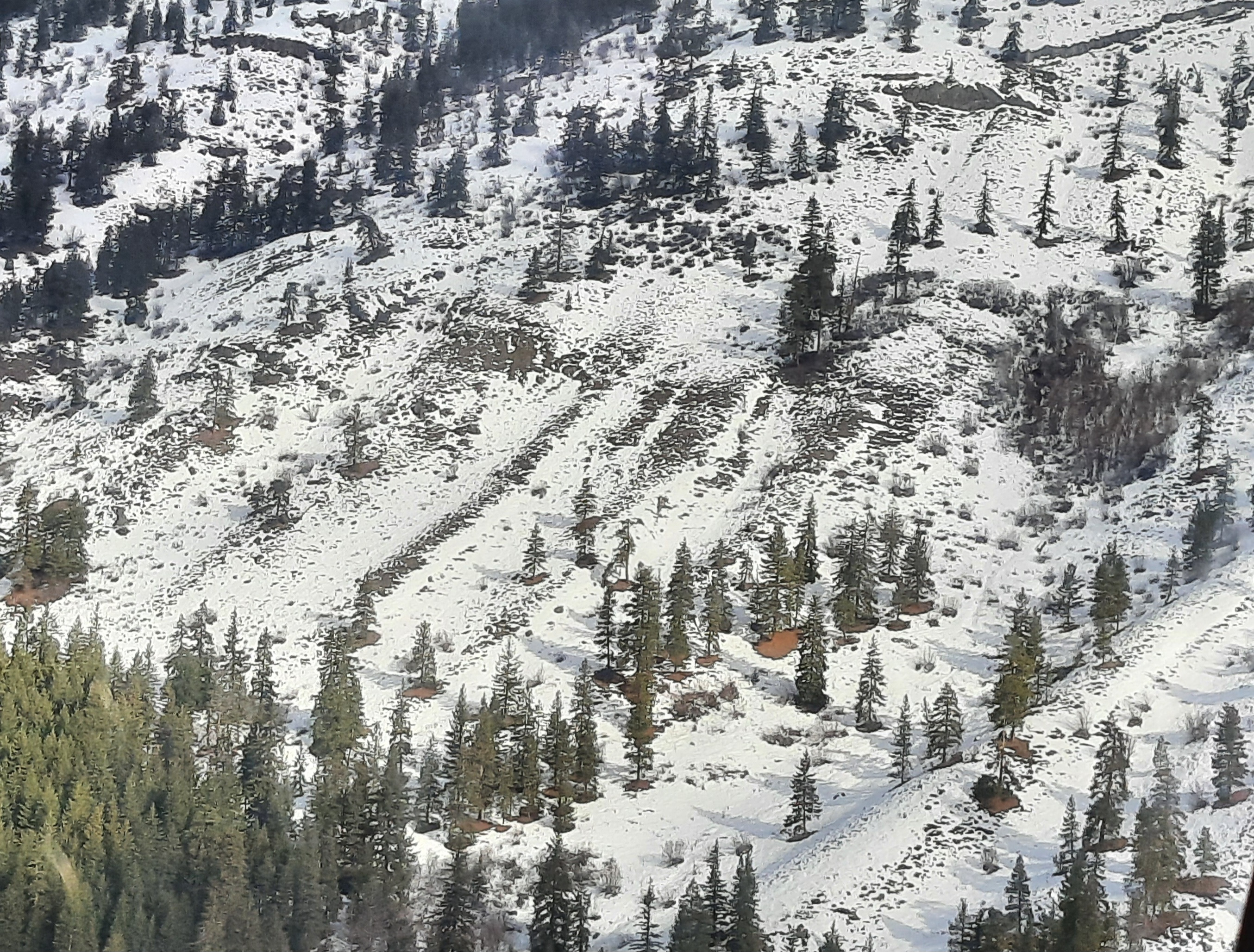
Saw a number of old debris piles from the late Jan storm/avy cycle