
Quick report
Triggering an avalanche on weak snow near the ground remains unlikely. However, we did find persistent weak layers on multiple aspects today ranging from 6600-8300' in elevation. The upcoming weather pattern change is going to significantly impact our current shallow snowpack. Several inches of dry snow on the surface really improved downhill travel conditions. On certain aspects that are holding a melt freeze crust buried yesterday (01/04), loose snow may slide easily on steep slopes. Northwest winds may have loaded some slopes above 7500' with shallow wind slabs. No obvious signs on instability noted. Very light, dry snow on the surface and in some areas overlying a melt freeze crust.
Weather
- Cloud Cover
- scattered
- Wind Loading
- light
- Recent Snowfall
- 8-12
- Snow Avail For Transport
- small smounts
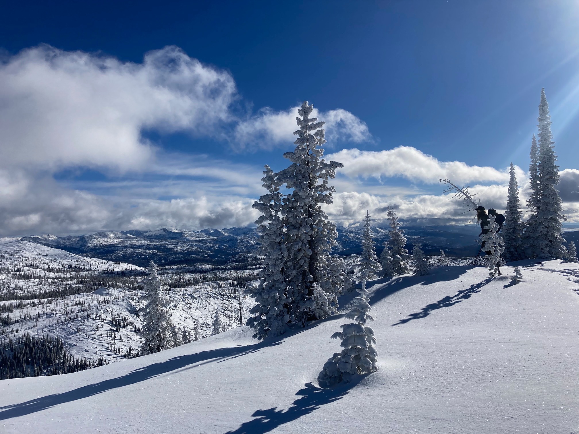
Overall, an absolutely beautiful day in the mountains. The storm clouds parted early in the morning and the morning light was spectacular. Clouds were scattered to few for most of the day. North winds were much lighter than anticipated, even up to 8500'. Sunshine was plentiful. Clouds increased in the mid afternoon hours.
Snowpack
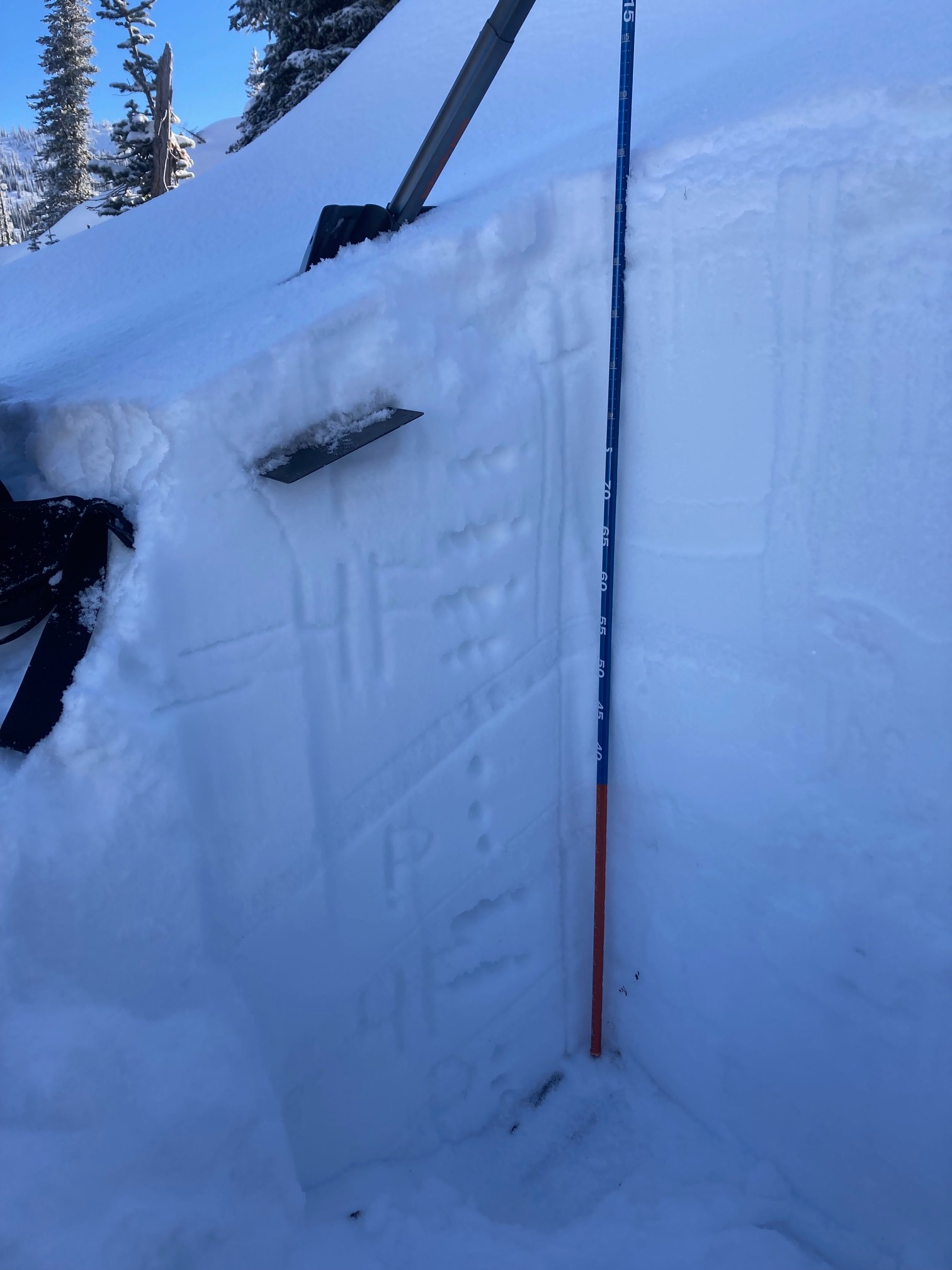
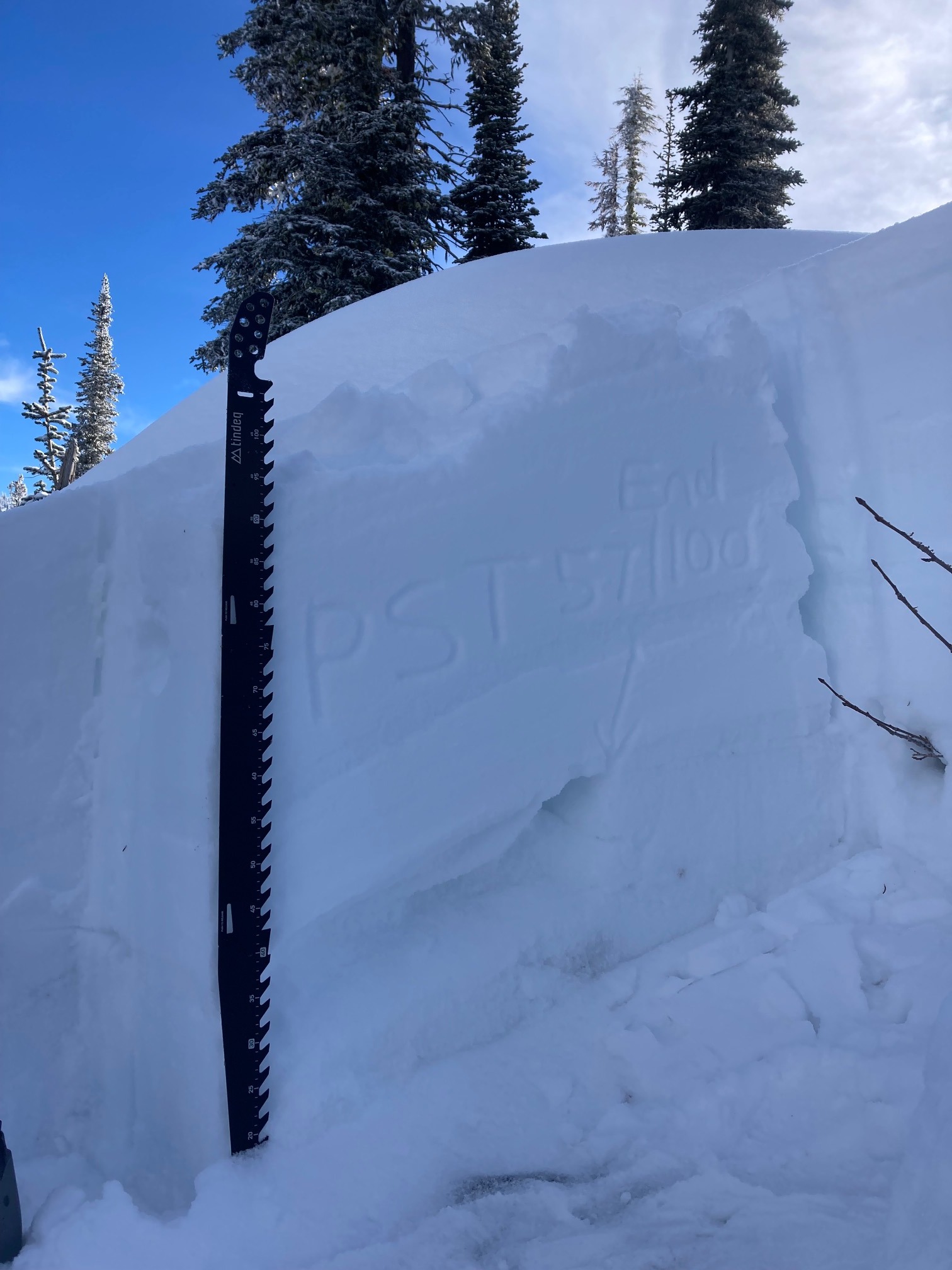
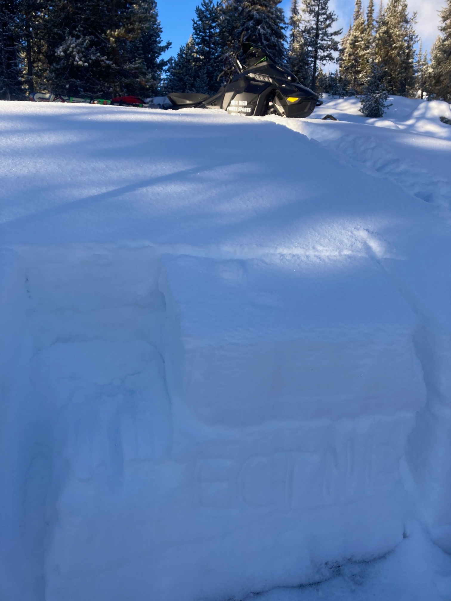
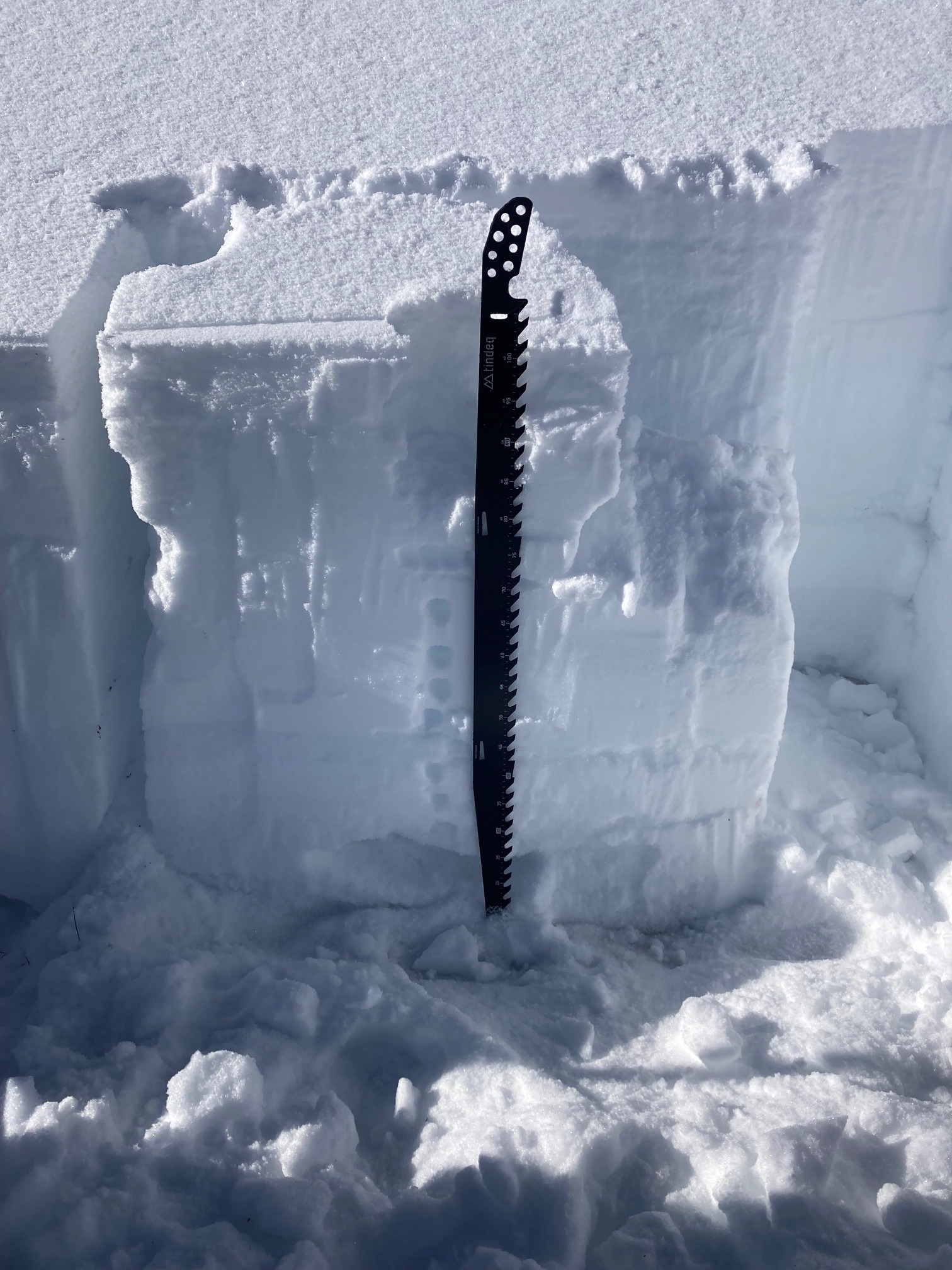
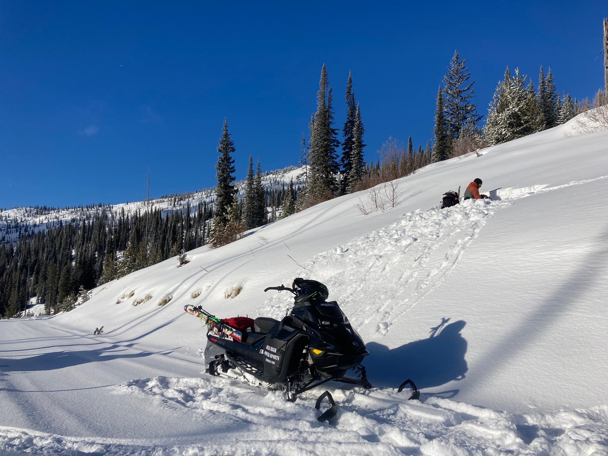
We dug four different snow pits today. Two at lower elevations (6600' and 7160') and two at upper elevation (7620' and 8310'). Takeaways were: we didn't receive any propagation in ECT on November facets, below 7300' solar and some non-solar aspects have a weak, crust-facet combination buried 15 cm down, basal facets continue gaining strength at all elevations, middle snowpack has become weak at lower elevations from recent dry weather, upper elevations didn't have widespread crust above 7400', but they did have buried surface hoar 10-15 cm down. Big weather change this upcoming week is going to provide a substantial test for our snowpack.