
Quick report
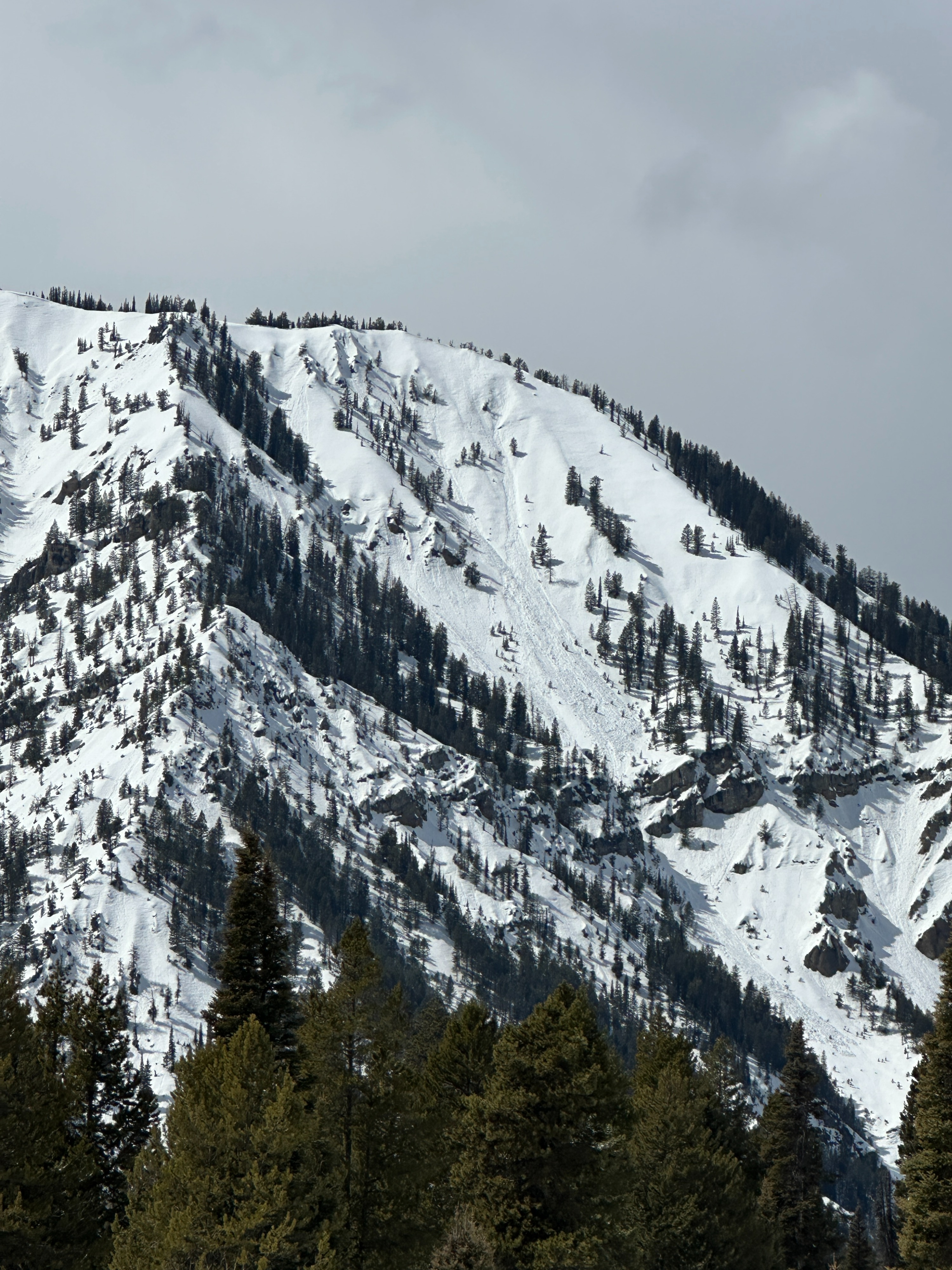
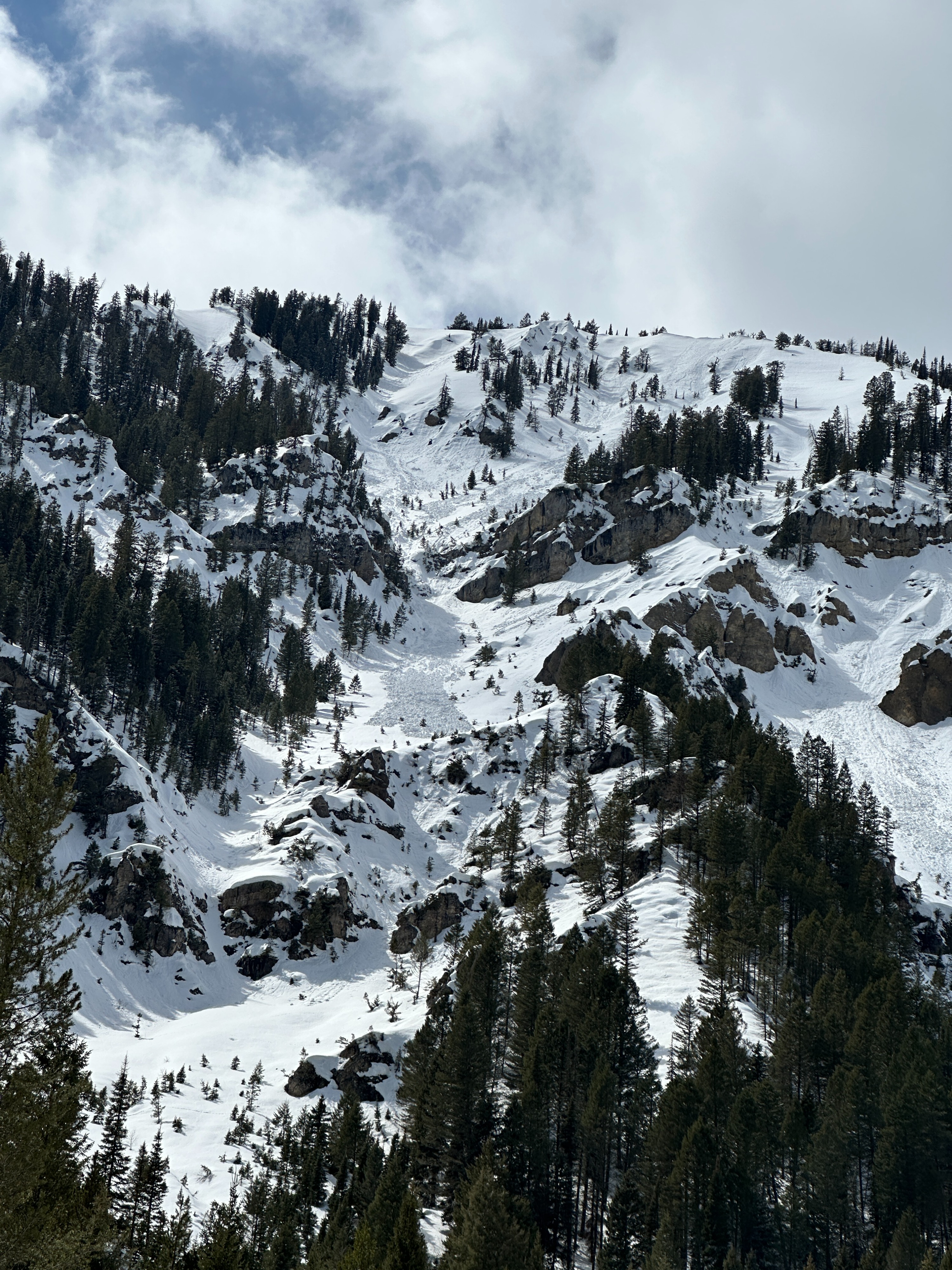
Today was sunnier and warmer than I expected. Temperatures at the trailhead were in the upper 40s F in the afternoon. At 8000', I suspect the temperature reached the mid to upper 30s. Skies were sunny most of the day, with clouds beginning to build from the south in the afternoon. New snow totals along Squaw Creek were about 2 inches at 8000' and just a dusting at 6000'. The sun and new snow created a few wet loose slides on solar aspects below 8500' - all initiating from warming cliff bands in very steep terrain. These slides were small (D1 or less), and all stopped mid-path.
The crust that formed last night remained supportable on all aspects above 8000'. Below that, slopes facing the sun started losing their supportability in the afternoon. Whatever snowpack is left near 6000' had become isothermal by mid day. Winds above 8000' were calm most of the day before becoming light west winds in the afternoon. Very, very light snowfall began around 3 pm, providing no accumulation.
Weather
- Cloud Cover
- scattered
- Wind Loading
- none
- Recent Snowfall
- 5
- Snow Avail For Transport
- small smounts
Snowpack
Dug into the snow on a north aspect at 8000'. The total snow height was 225 cm (a little over 7 feet) at this location. Water had been moving through the snowpack during the previous warm period. There were dispersed percolation columns through the snow with some water reaching and pooling near 1 meter deep. The colder weather over the past couple of days has stopped the melt cycle, but the snow in this location was still moist with dispersed wetter layers. Test results yielded an ECTN 25 down 24 inches on a previously saturated layer of snow. Above 8000' the melt-freeze crust from last night was supportable throughout the day.