
Quick report
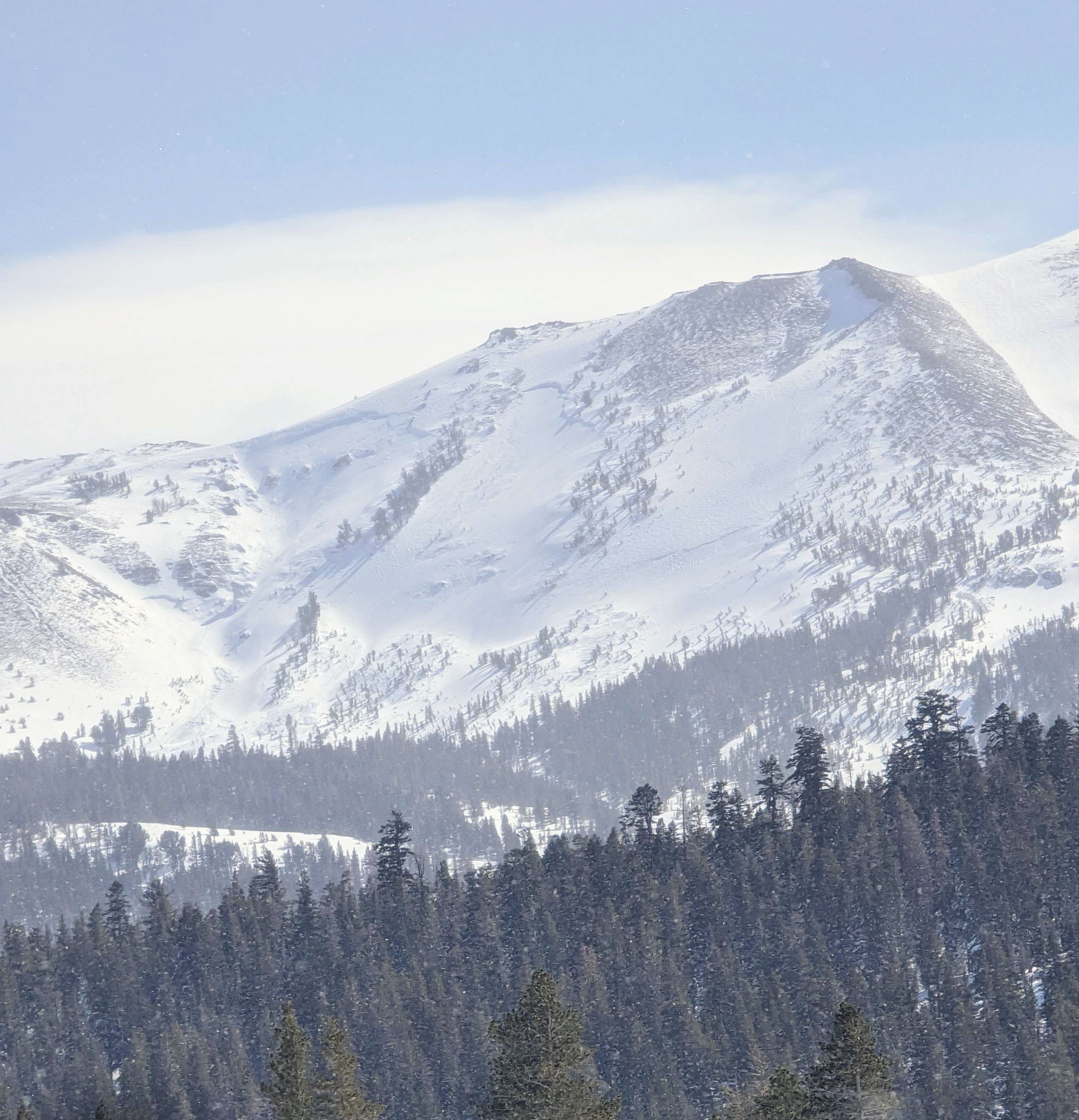
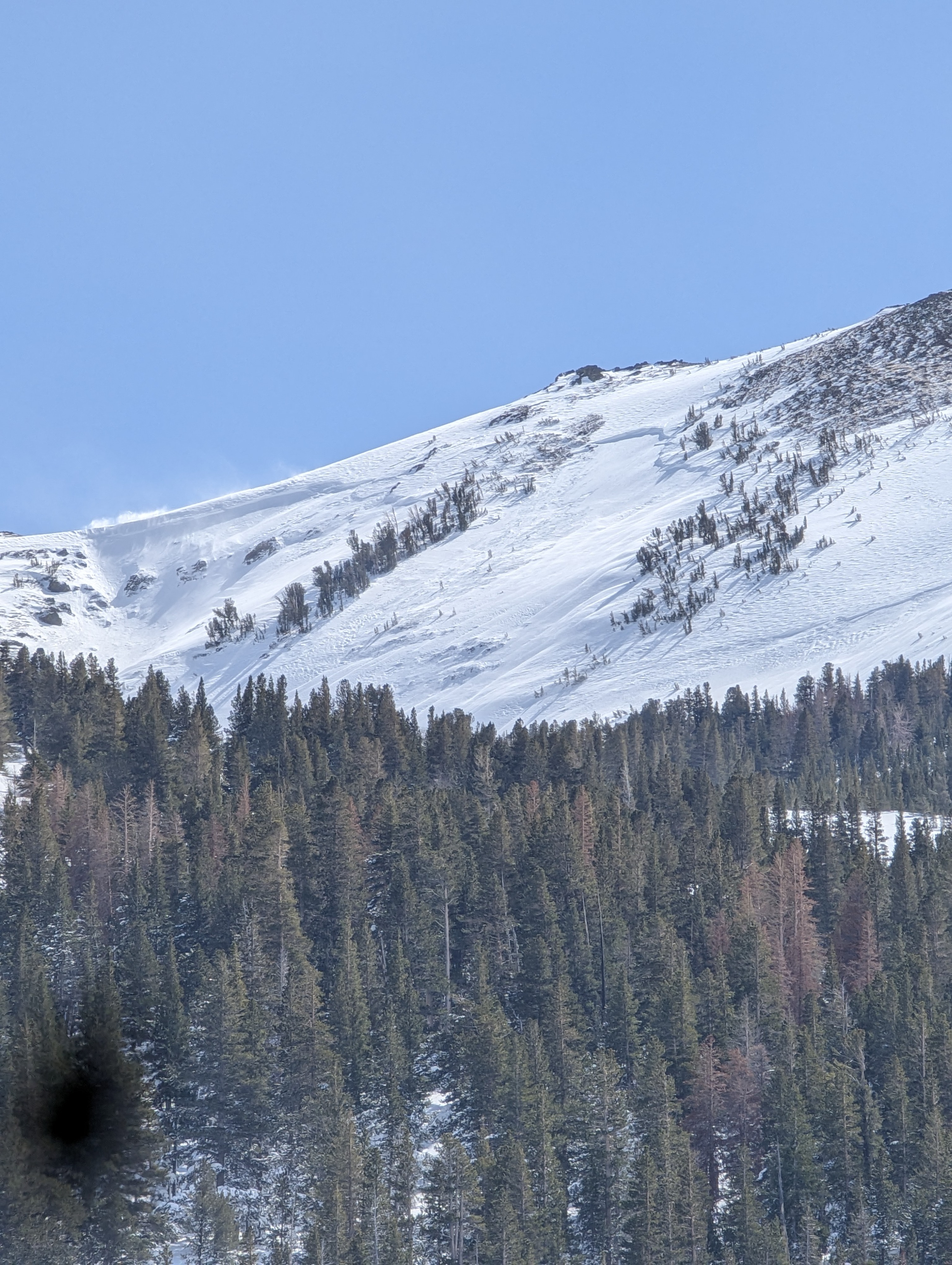
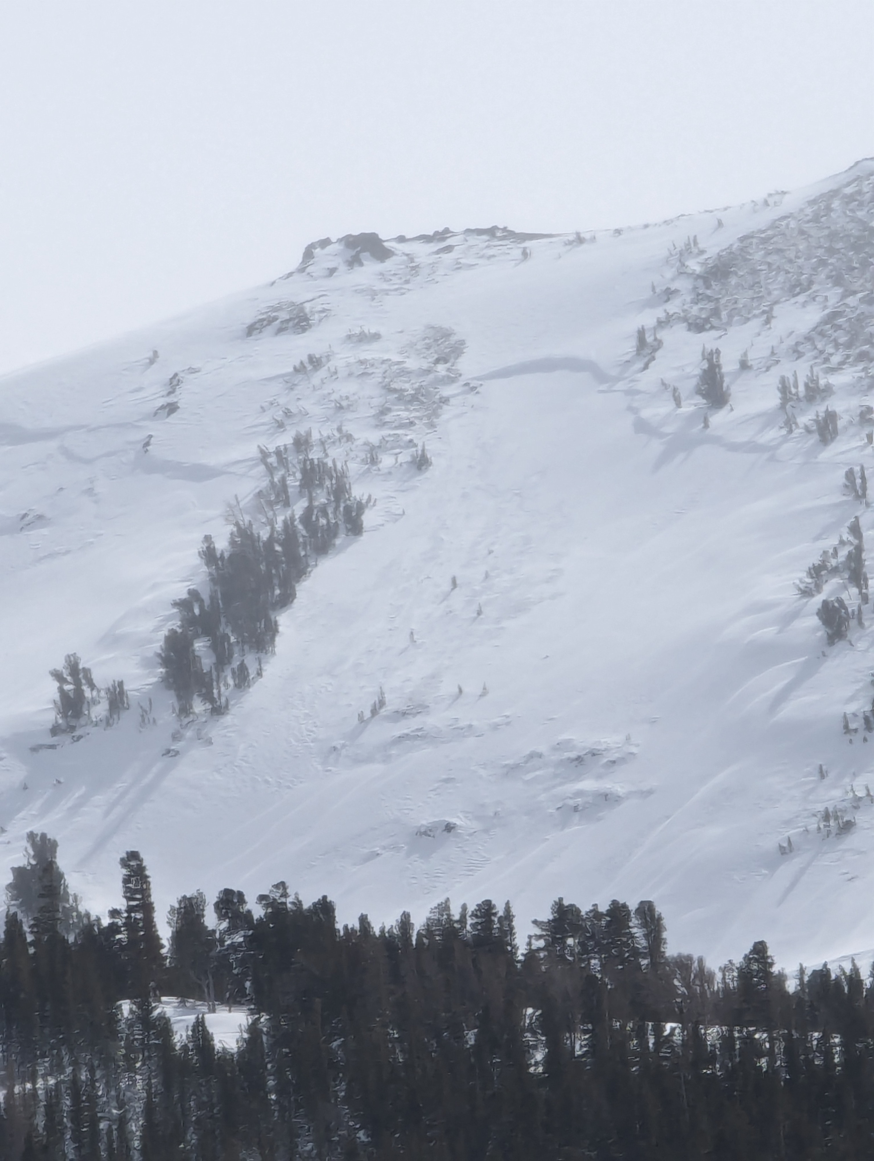
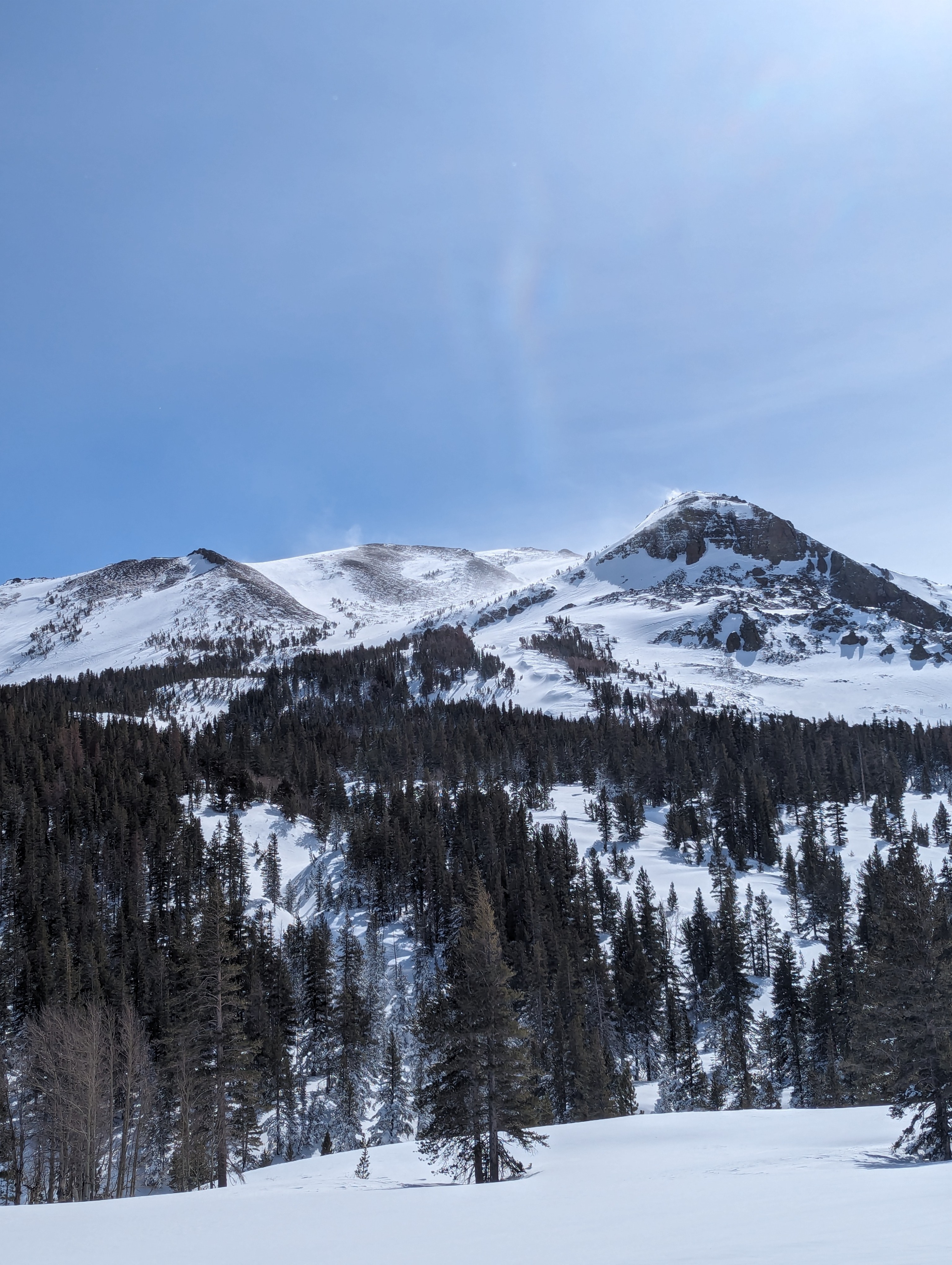
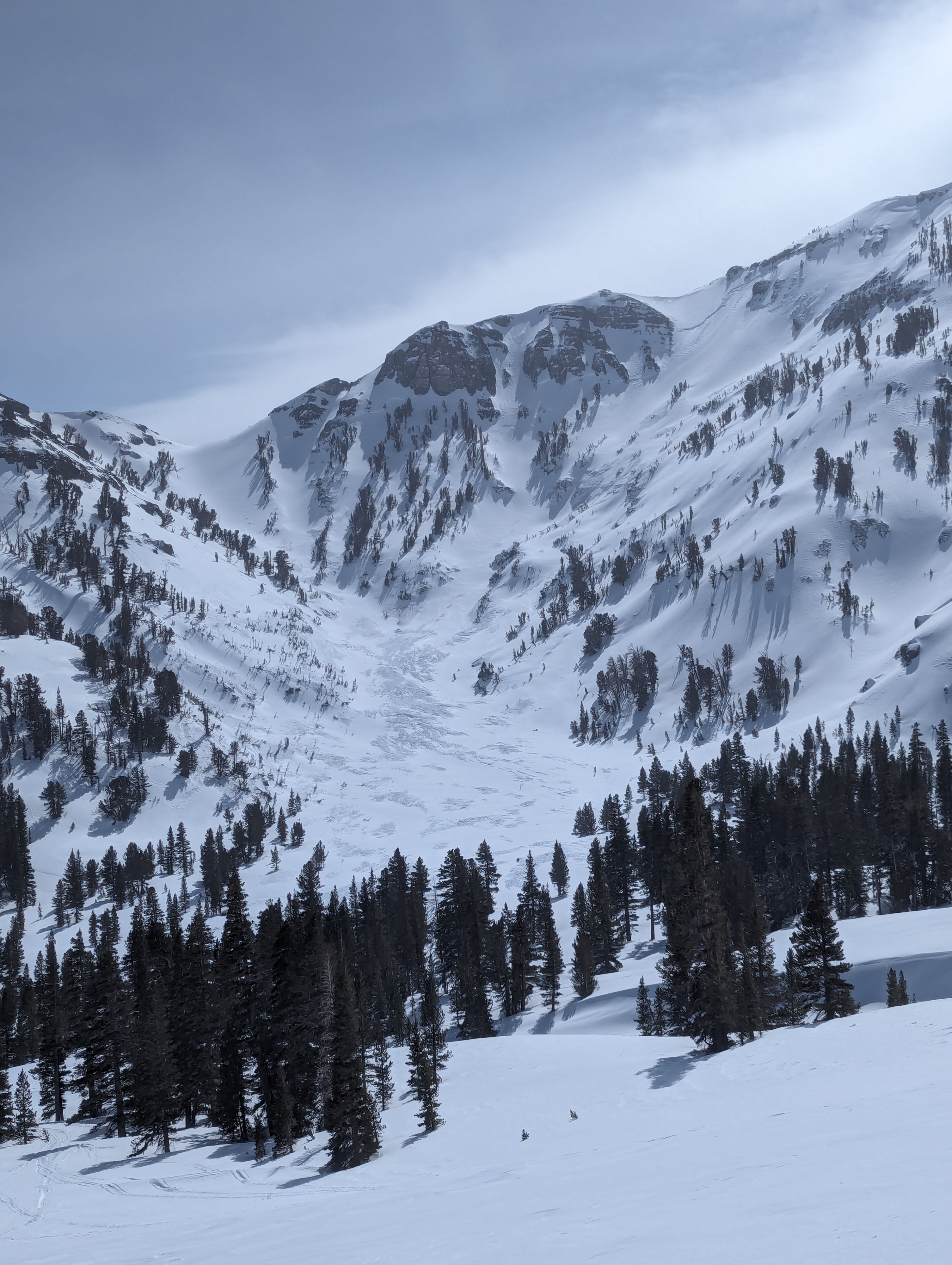
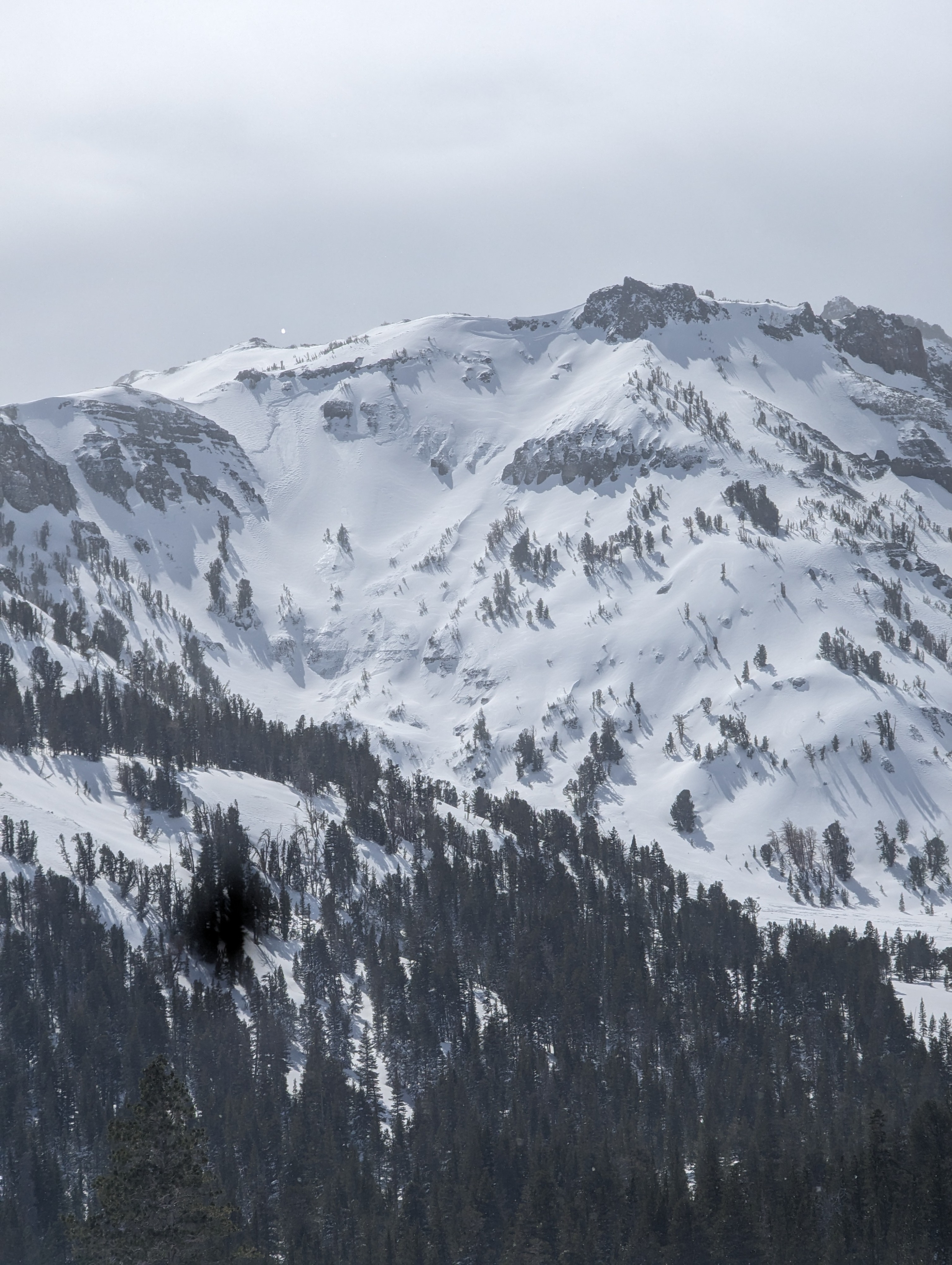
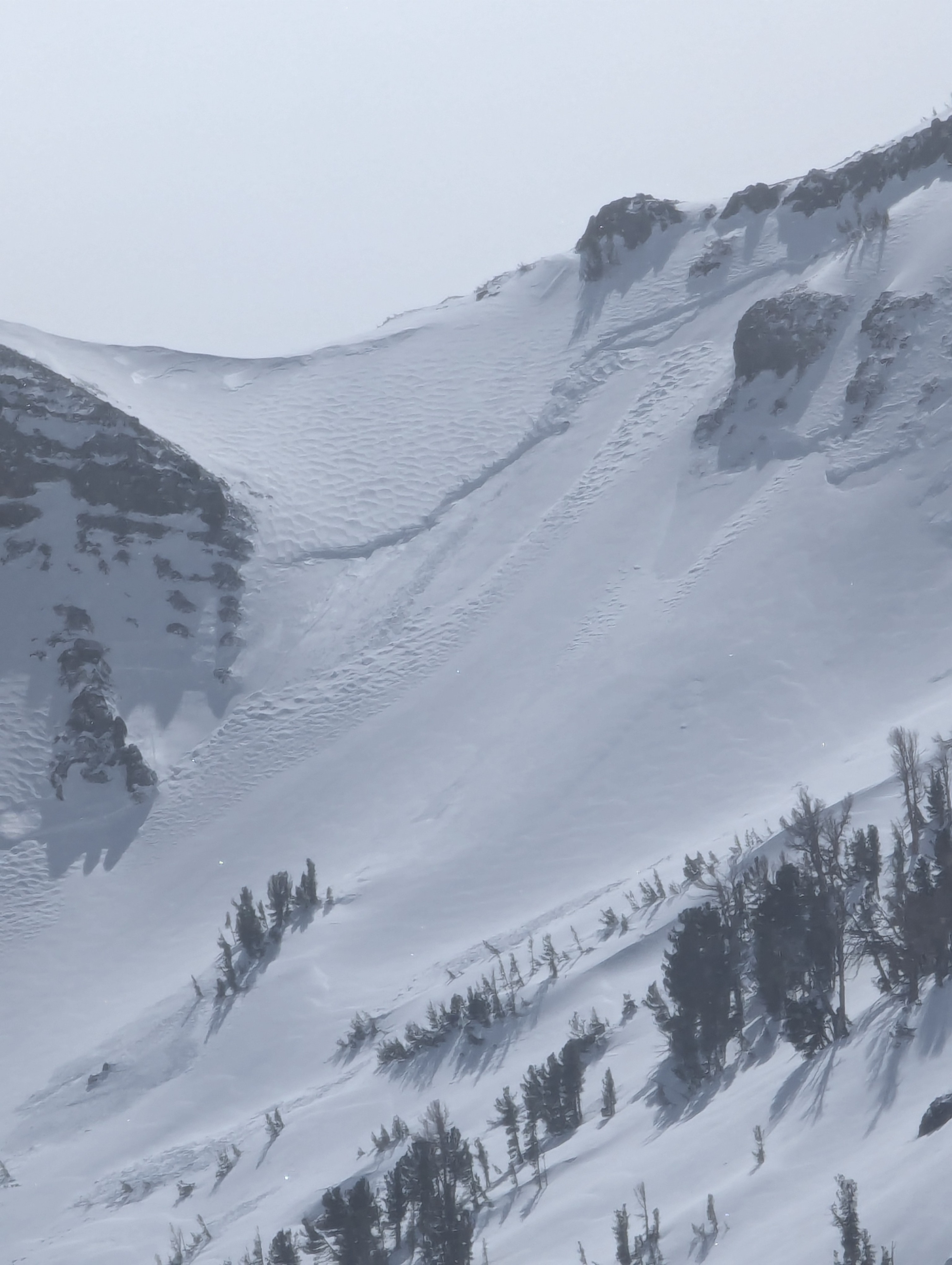
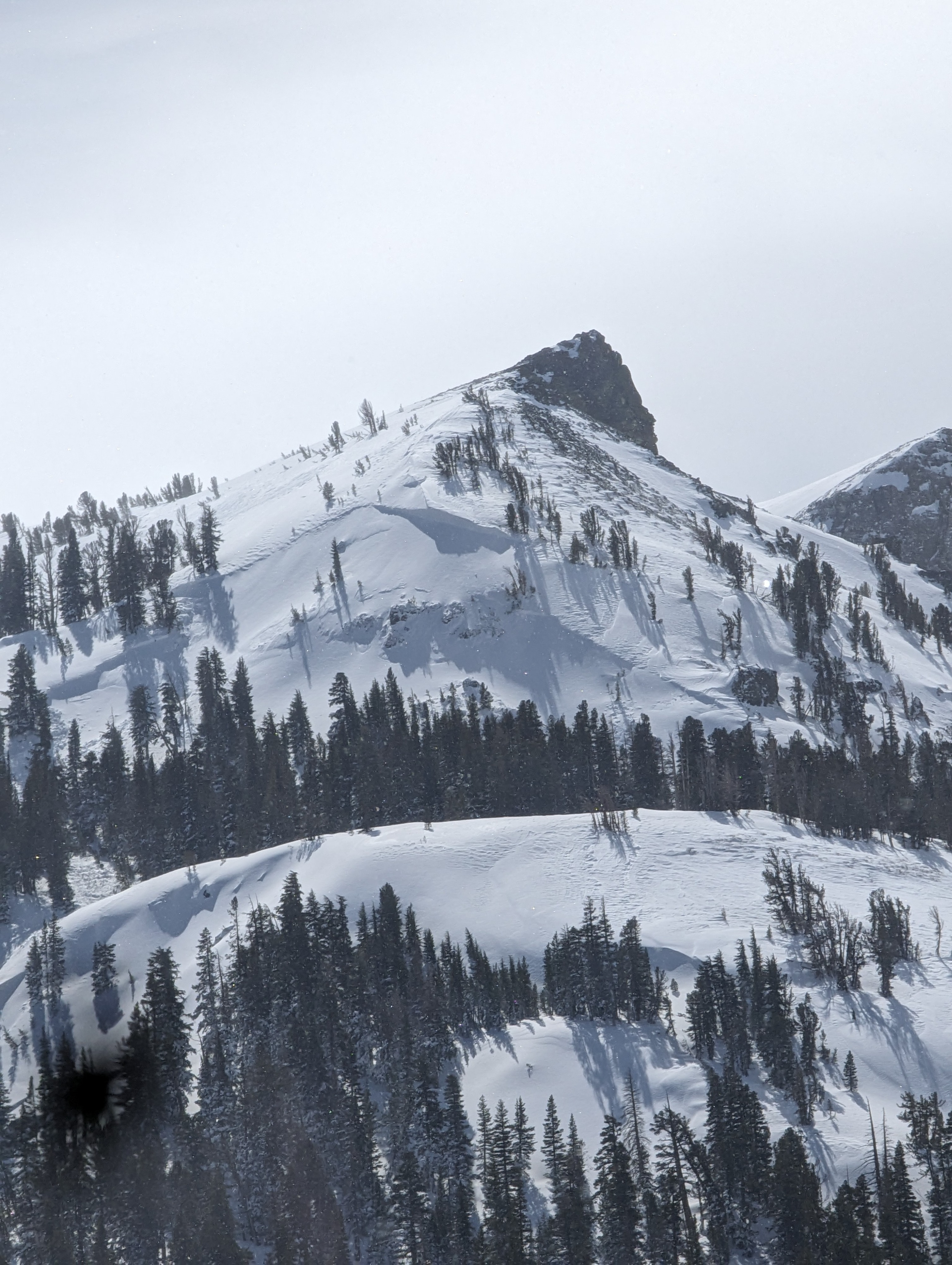
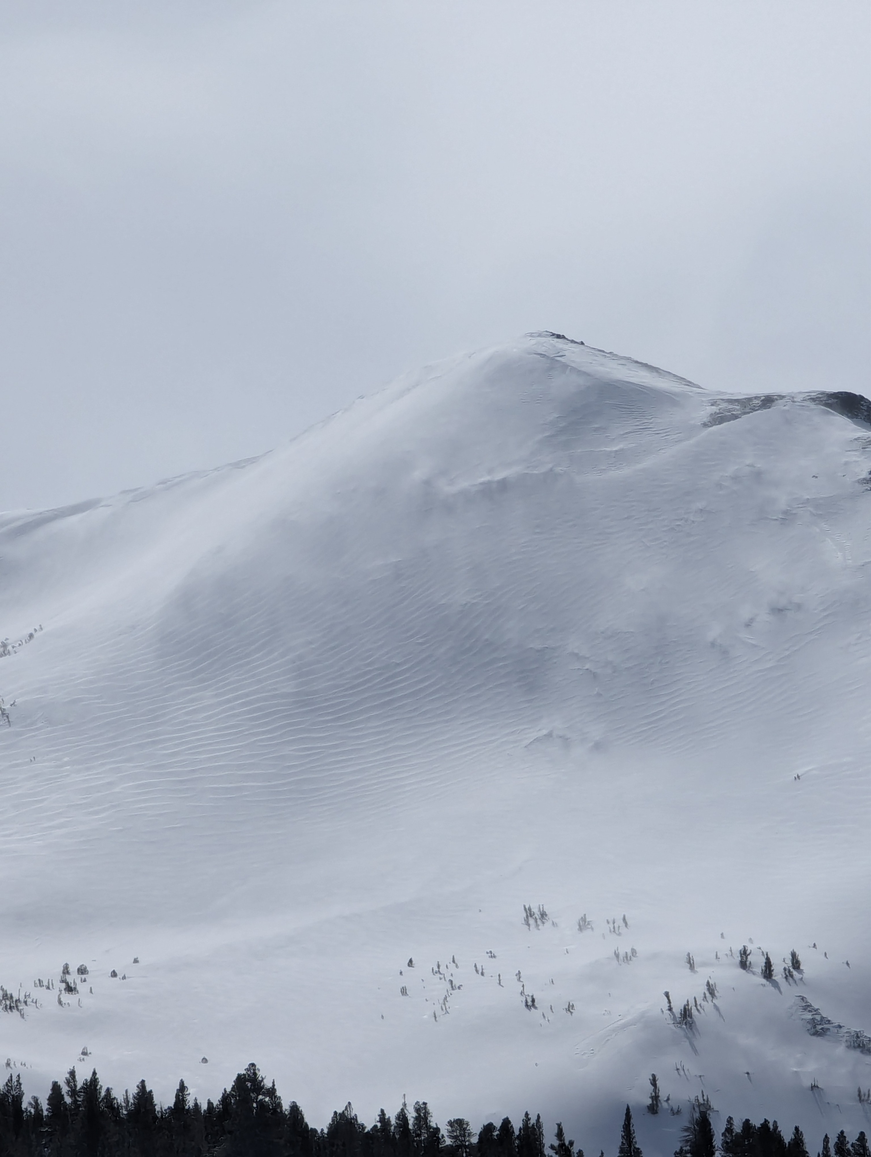
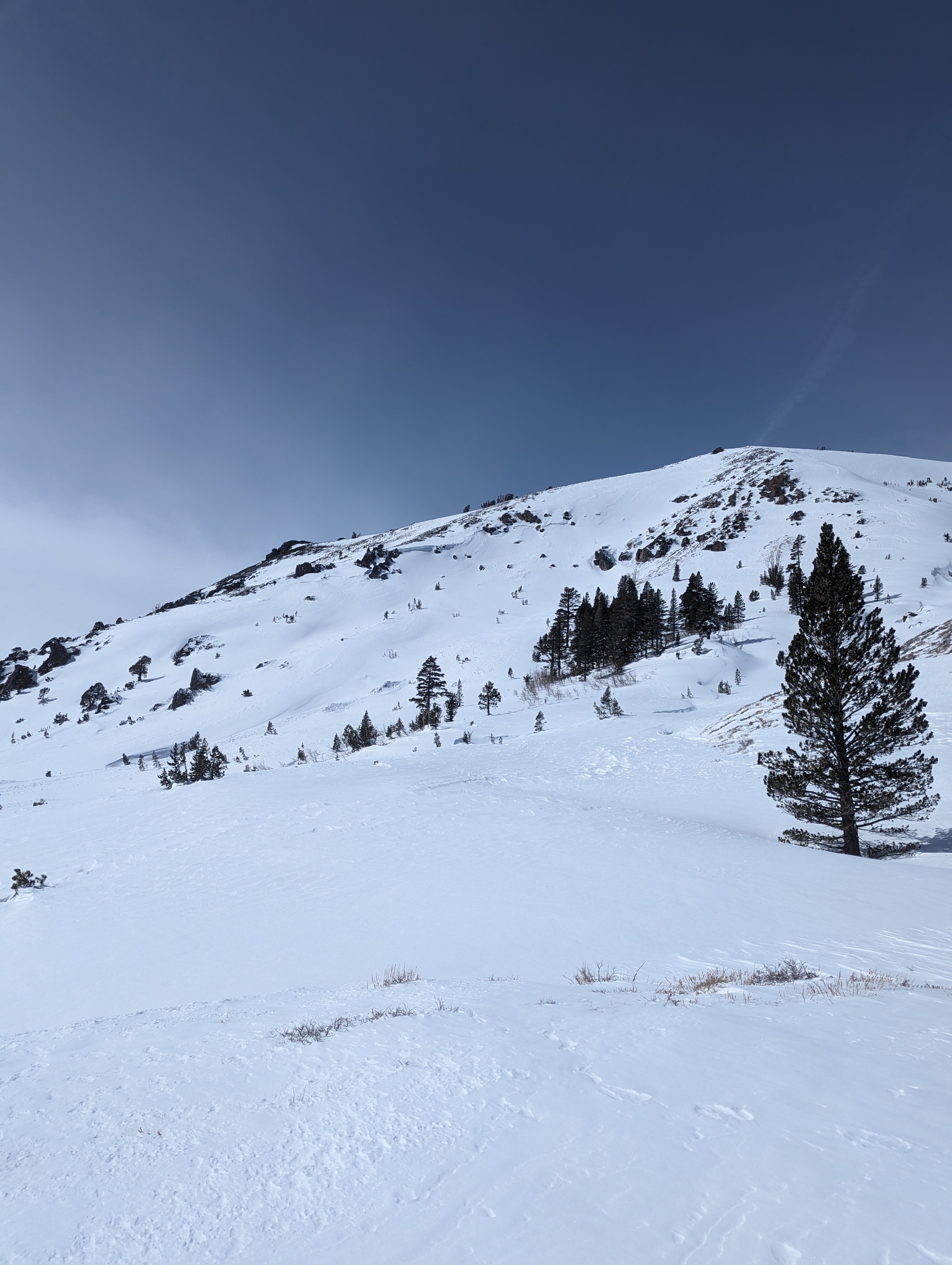
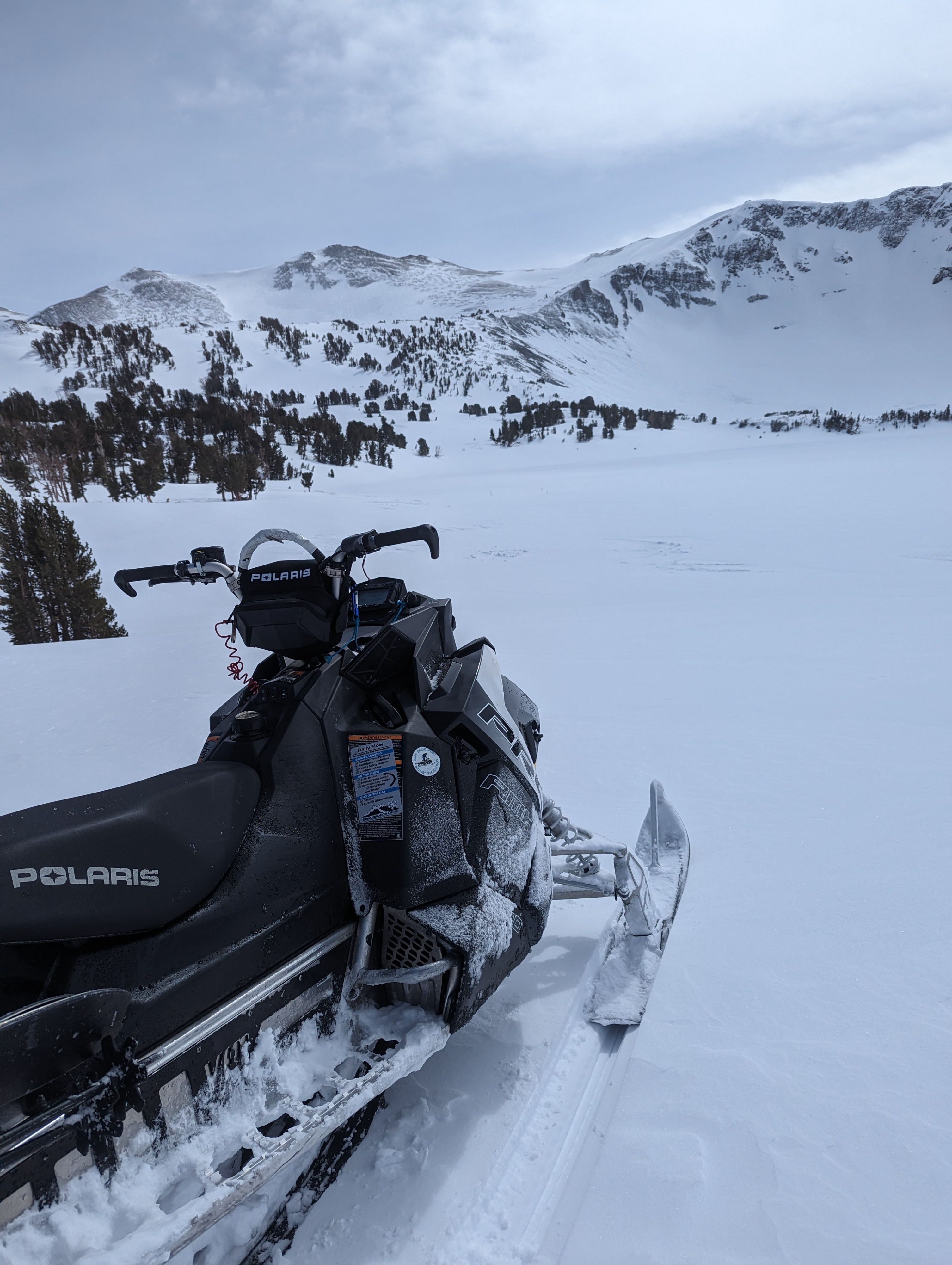
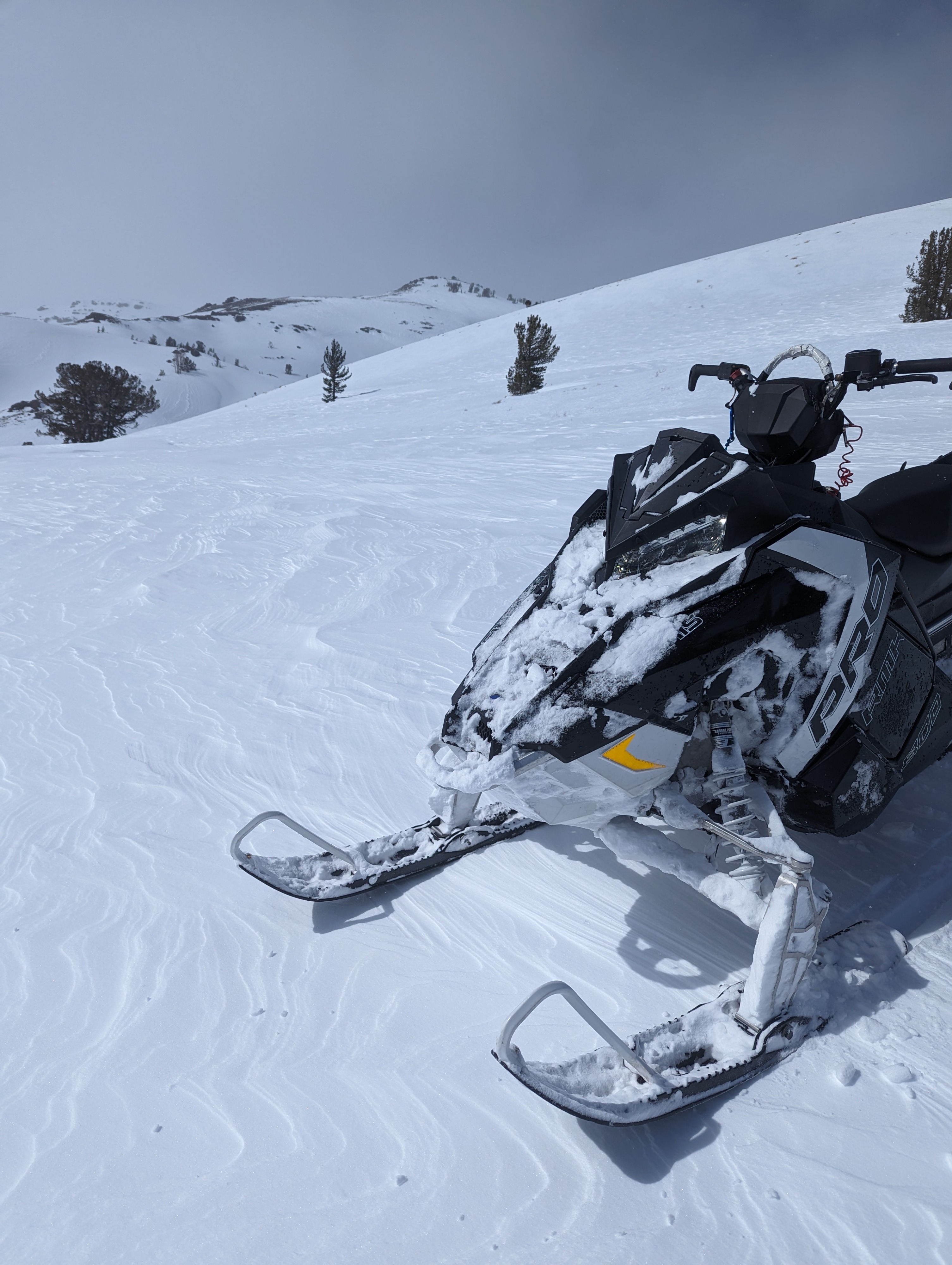
After an intense storm that lasted over the weekend, we were finally able to get out into the field and have a look at the landscape. Between 0600 on the 28th and 0600 on March 3rd the Leavitt Lake SNOTEL picked up 13.0 inches of water content. At our lower elevation weather station in Mill Canyon (7,577 ft), wind gusts reached over 90MPH and 80 MPH at Mean peak (9,867). With such intense weather during the storm, we were unable to get out in the field until today. Sheltered terrain in the trees was still holding pockets of soft snow, but any exposed terrain had felt the full effect of the high winds. Barren ground, stiff wind board, or wind-loaded features were the most common sight today. We did get eyes on many large avalanches on N, NE E faces that had loaded during the storm and left impressive crowns lines along the landscape. We were unable to make it to Sonora Pass before the weather moved in and we lost visabiltiy. We continued to see blowing snow on ridgelines, although the storm has passed slopes are still being actively loaded by blowing snow.
Many large avalanche crowns were visible on N, NE aspects in the alpineWeather
- Cloud Cover
- scattered
- Wind Loading
- intense
- Snow Avail For Transport
- large amounts
Calm cold and clear start to the day, around 1230 cloud cover started to increase as weather started to move in from the west. Visibility dereased and snow began to fall as i exited the field around 1400