
Quick report
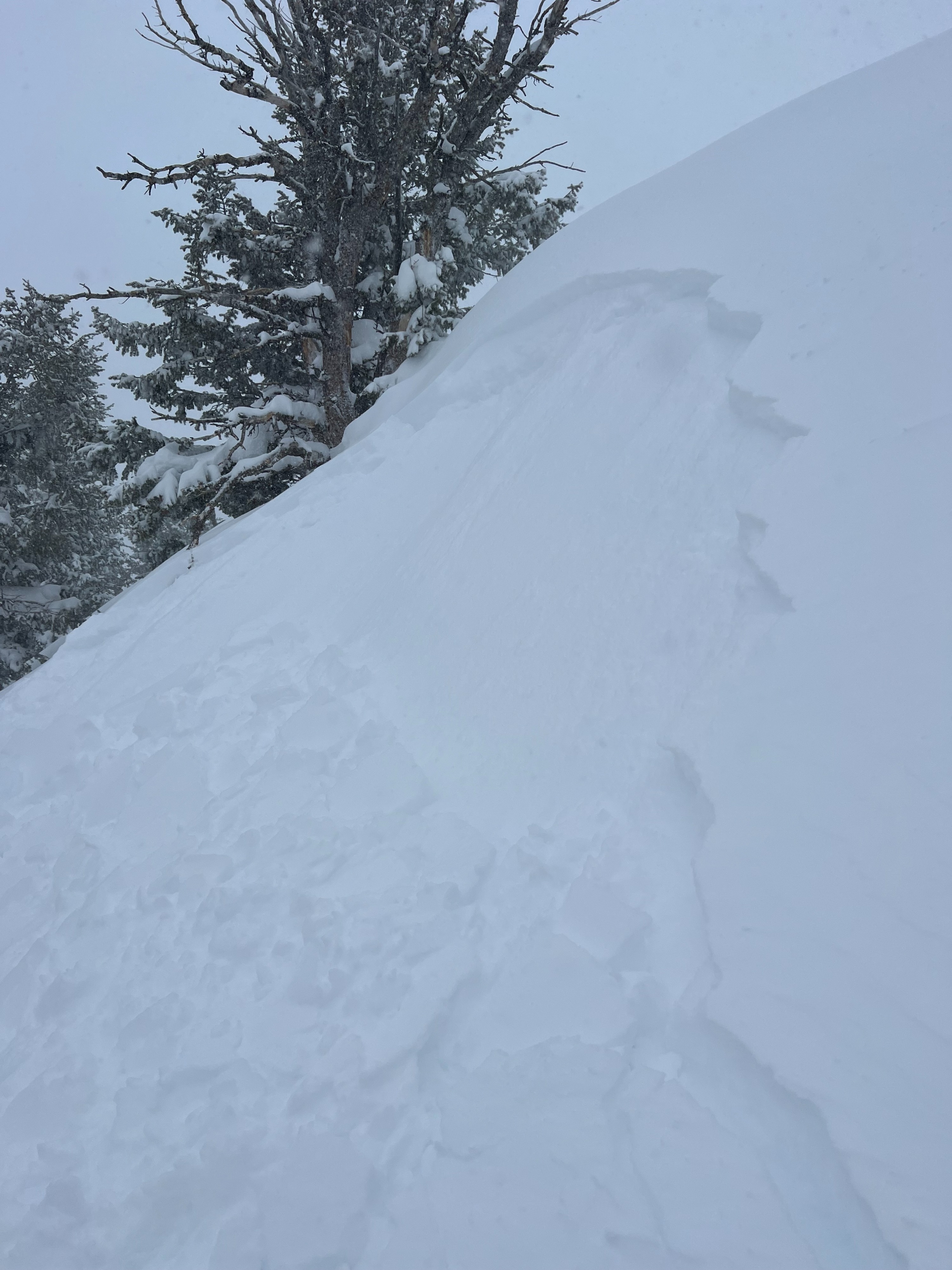
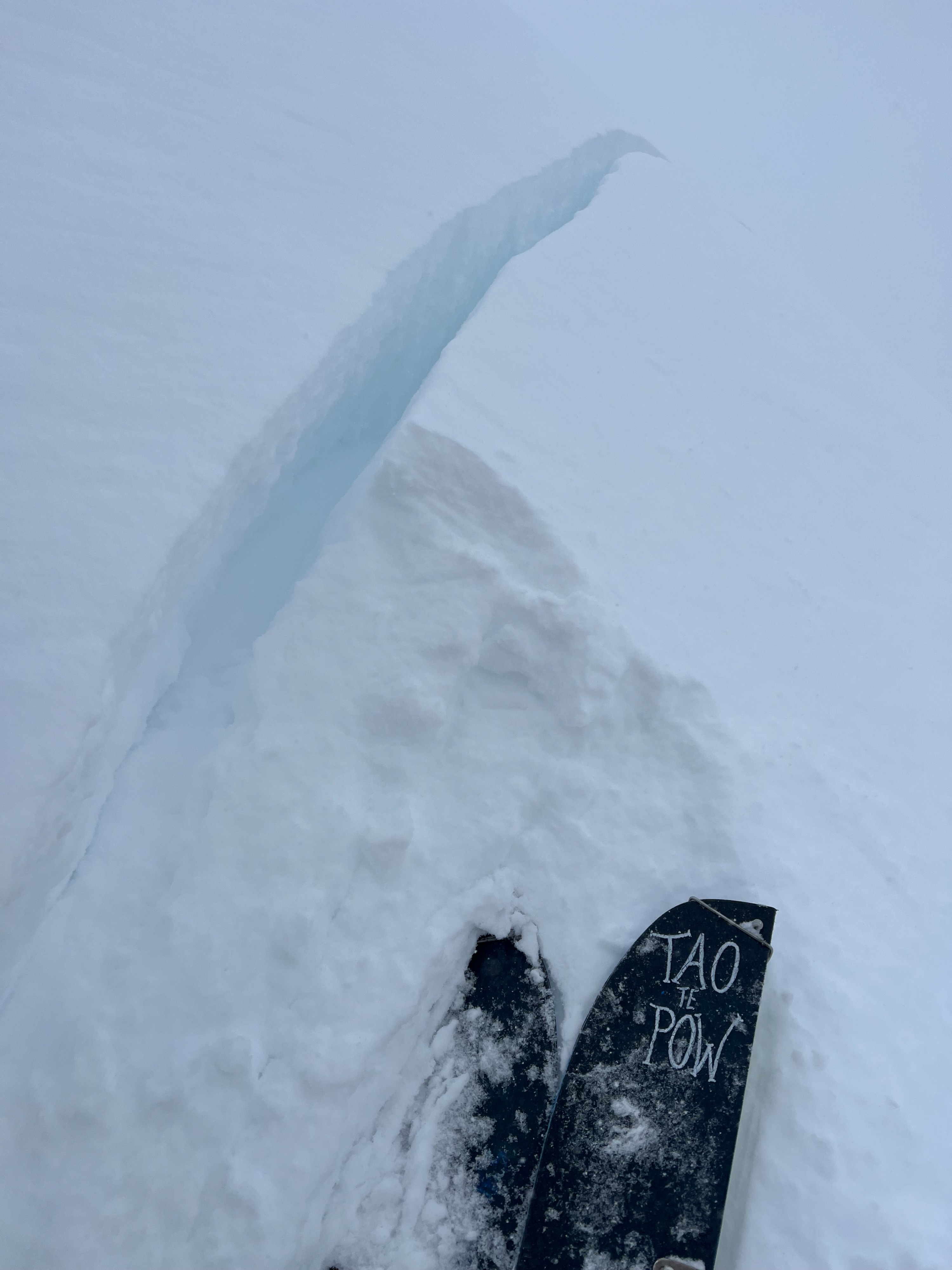
Rode Taylor the last two days to track changes in the new storm snow. Lots of soft unstable, upside down snow out there with the combination of storm and wind slabs. New snow varied from 40-60cm above 8500' with significant westerly wind influence above 9500'. Wind spread wind influence across almost all aspects in upper elevations. D1-D2 human triggered new snow avalanches seen and reported. Some failed on a hardness change mid storm while others failed on the March 20th interface. Seems we could be trending towards a persistent slab problem, but waiting this storm out to find out. Largest wind slabs were on isolated terrain features 2' deep. Observed cracking and collapsing as well. Terrain management is the key with all this reactivity. Understanding areas that commonly slide and watching slope angles is critical to managing all this new snow. Don't be caught off guard by other people's tracks. There's a lot of intelligent folks in this area that understand where that fine line of margin is at in terrain during these reactive conditions.
Snowpack
South facing terrain was the most reactive, failing on both hardness change and crust interface. Wind slabs were definitely more reactive than storms slabs. Avalanches were failing on both a hardness change from mid storm as well as the March 20th weak interface.