
Quick report
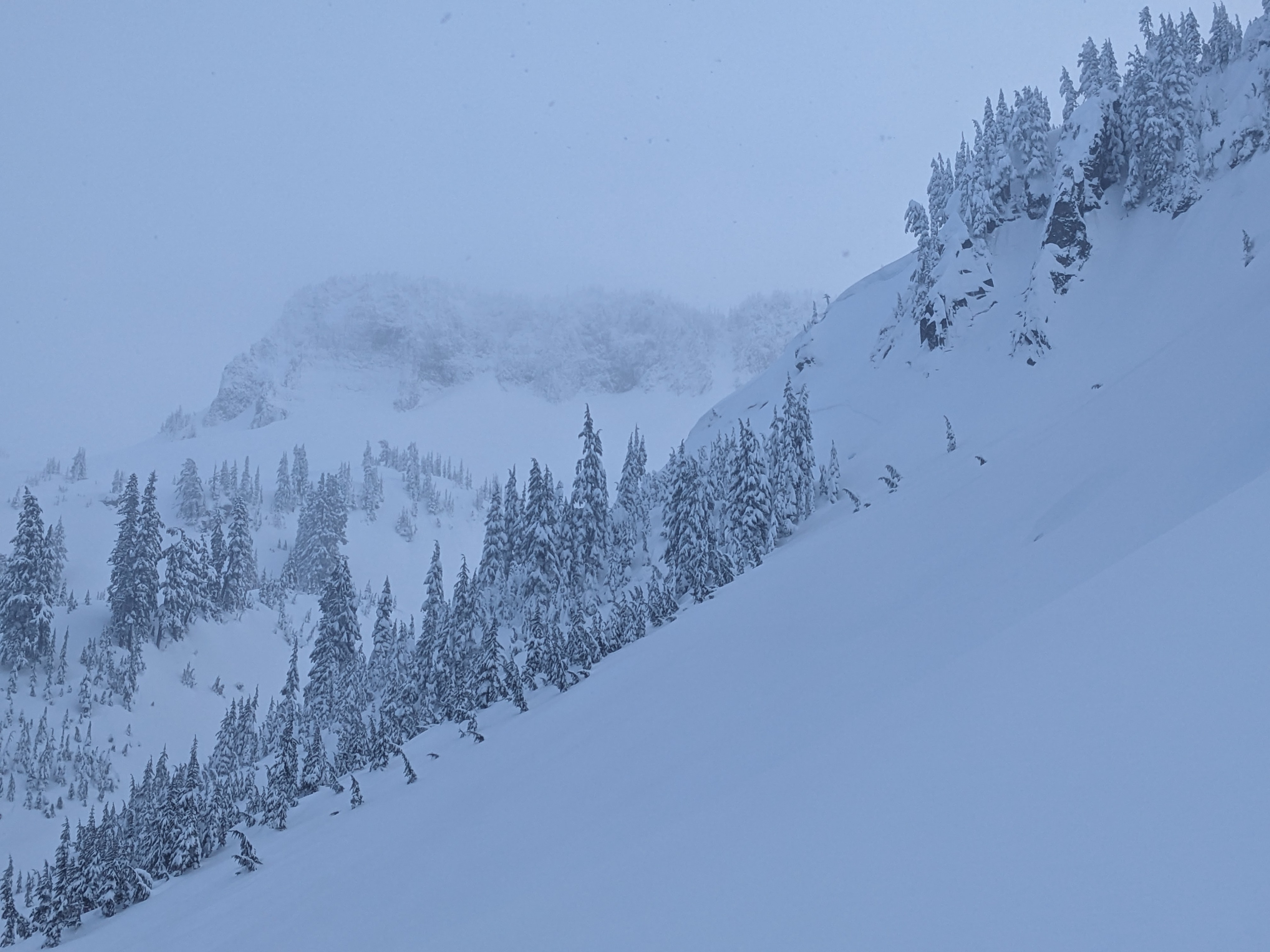
Skiing conditions were very enjoyable in the AM, before the winds picked up and the rain moved in around 1200-1230. I'm curious to see what this next round of rain (and hopefully snow?) does to our snowpack, given how much SWE we've already received over the past week. I observed evidence of natural avalanche activity on all aspects. All observed avalanches appeared to have initiated in rocky/cliffy start zones and ranged in size from D1 to D2. They appear to have occurred within the last 24-36 hours.
Weather
- Air Temp
- 28-33
- Cloud Cover
- overcast
- Wind Loading
- light
- Rain Elevation
- 3500-4500
- Recent Snowfall
- 60-90
The day started out nice, with broken skies and little to no wind. Fog and freezing rain moved in around 1200. The density of the new snow combined with generally light winds prevented any significant wind loading from occurring.
Snowpack
In general, the new snow has bonded decently well to the 21 December crust. Ski pen was quite shallow (~10 cm) given the HST (60-90 cm), and I was unable to move any amount of snow beyond small sluffs on steeper (35+*) terrain. Intrastorm layers are present, but density and grain size differences between these layers are minimal.