
Quick report
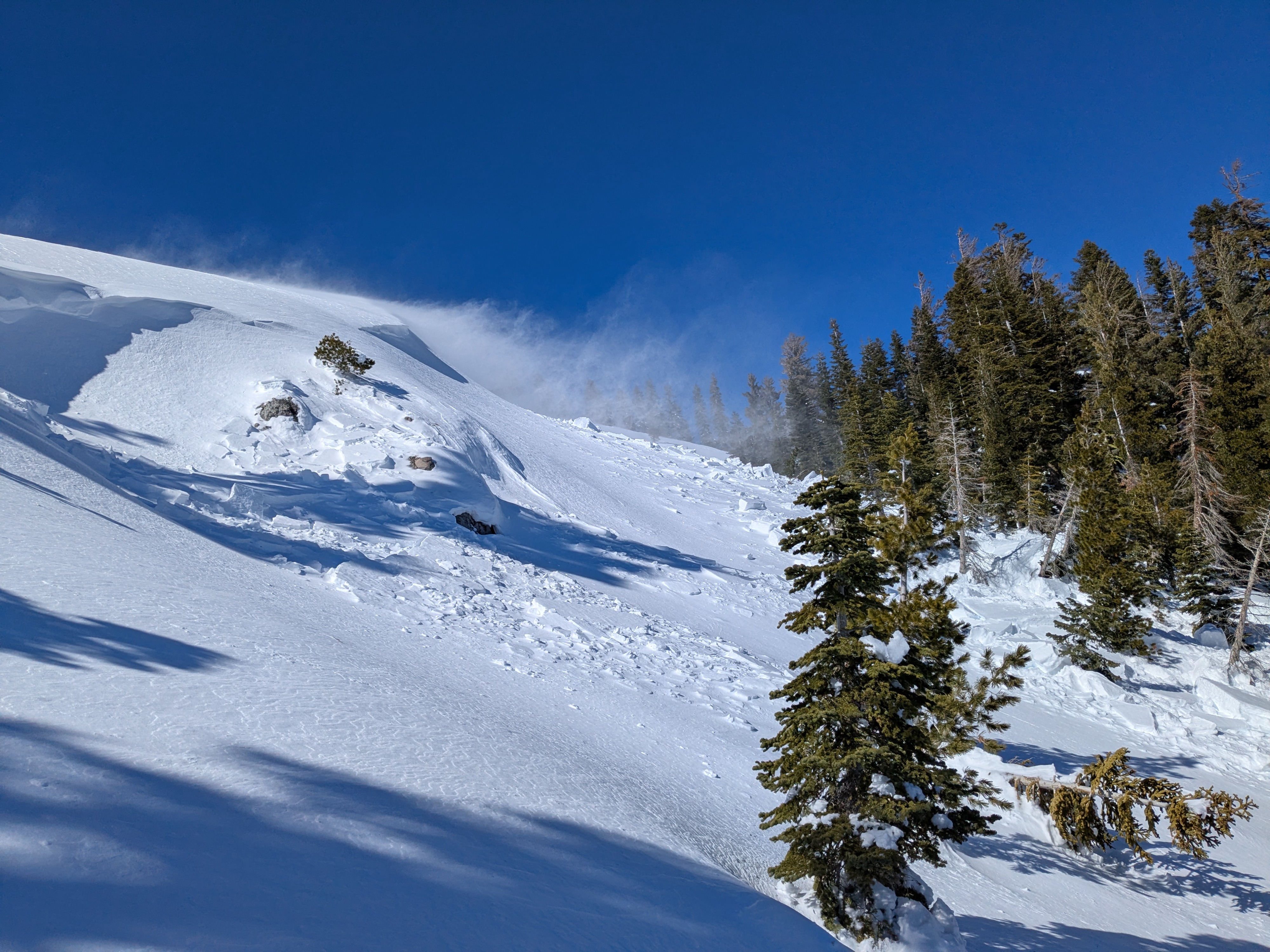
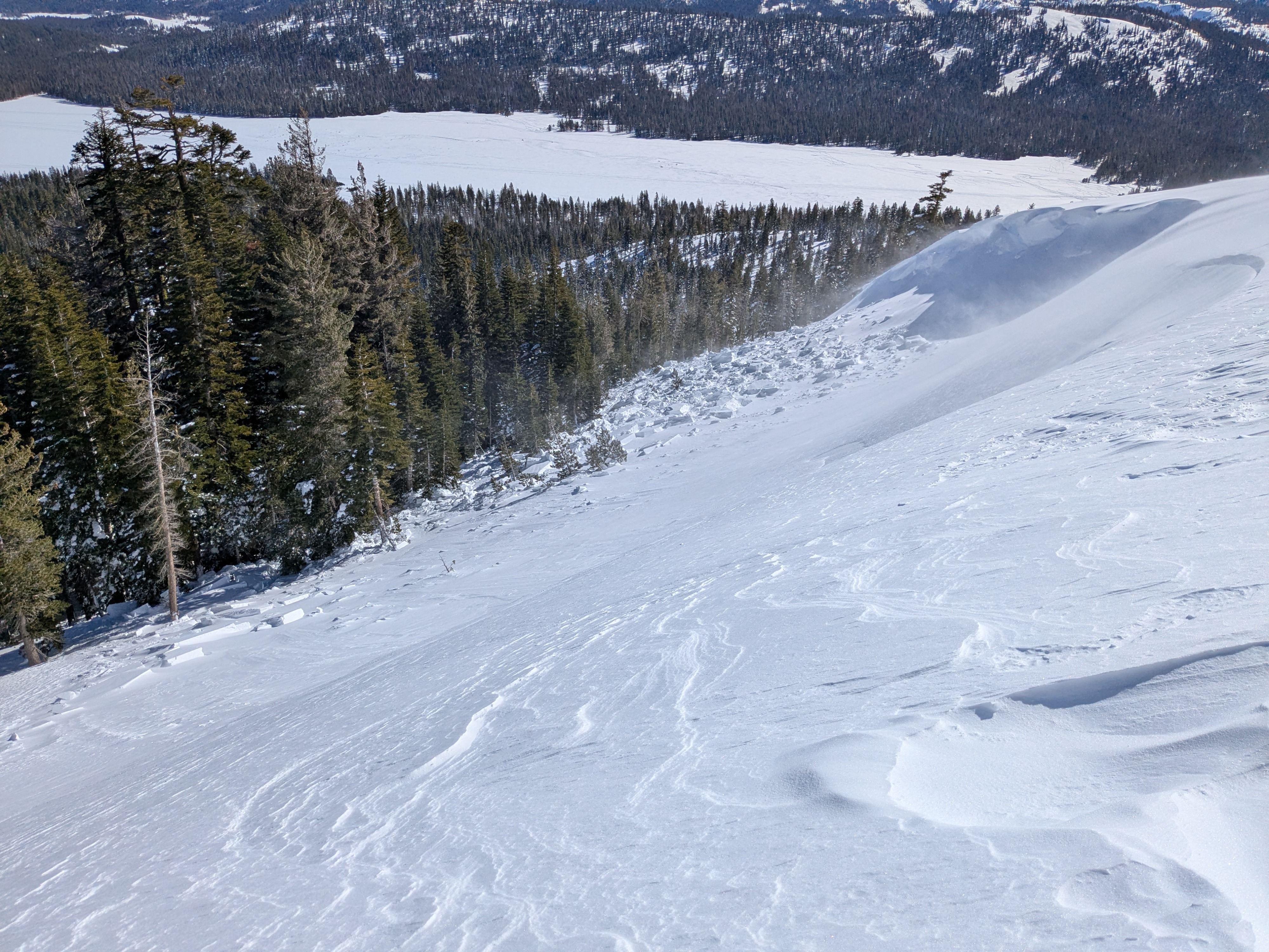
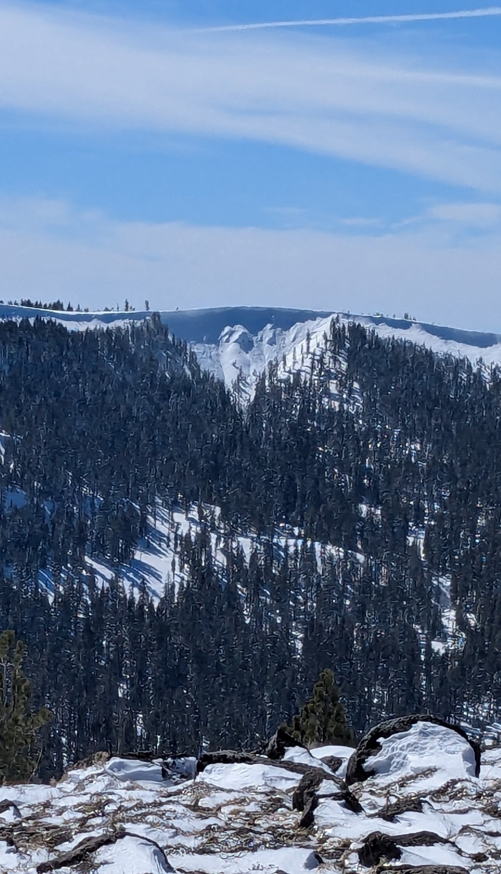
Riding out to Webber Peak this morning we could clearly see blowing snow along the ridgetops. At 11:45 am we came across a natural wind slab avalanche on Webber Peak that had likely failed early this morning. Ongoing drifting snow had filled in a significant portion of the bed surface. I was able to access the southern flank and debris and confirm that this avalanche did not involve a deeper weak layer such as the Feb 10 layer (see avalanche ob for more info).
We traveled across large areas of SE and S aspect terrain below the summit of Webber Peak and did not trigger any collapses. Probing in a few places on the slope suggested little to no snow existed on this slope prior the recent large snowfall event.
We dug a pit in NE aspect terrain at 7,860' in below treeline terrain to look at the Feb 10 layer which presented as unreactive in this location. Shaded NE aspect terrain had not experienced snow surface melt. There was a thin sun crust on the E aspect terrain we traveled in the 7,000' to 7,800' elevation range.
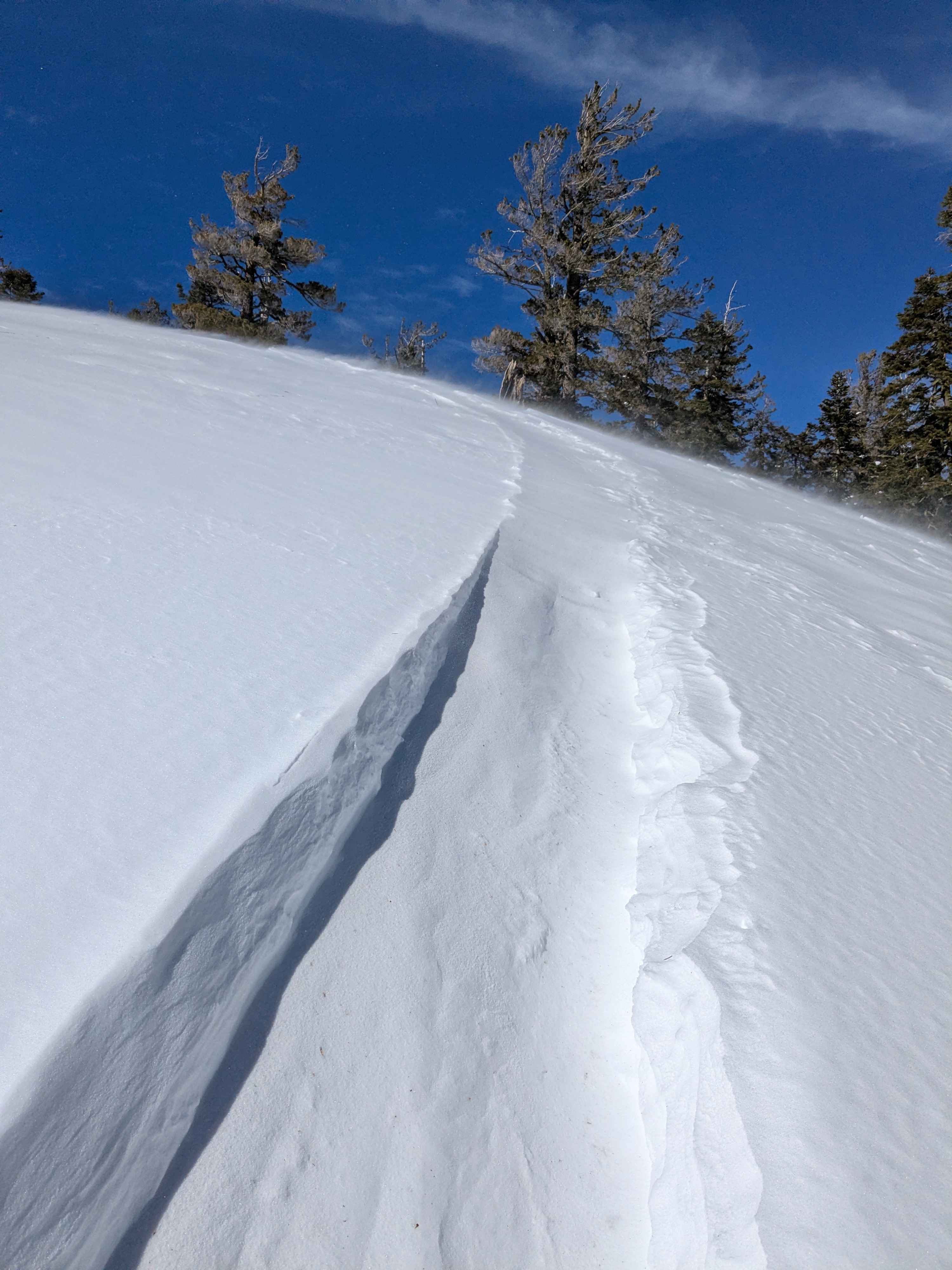
Intnese amounts of wind drifting occuring in specific areas.Weather
- Air Temp
- 34
- Cloud Cover
- few
- Wind Loading
- intense
- Snow Avail For Transport
- large amounts
Strong SW winds
Snowpack
We dug and snowpit at the lat/long of the ob, a NE aspect at 7,860' in below treeline terrain with protection from the SW wind. HS was 222 cm and the Feb 10 layer was 144 cm below the snow surface. ECTX and DTN results. The recent storm snow was consolidating in this area without any ECTN failures observed within the recent storm snow while performing that test.
Avalanche
- Size
- D2 R4
- Type
- HS
- Aspect
- NE
- Trigger
- NC
- Elevation
- 7860 ft
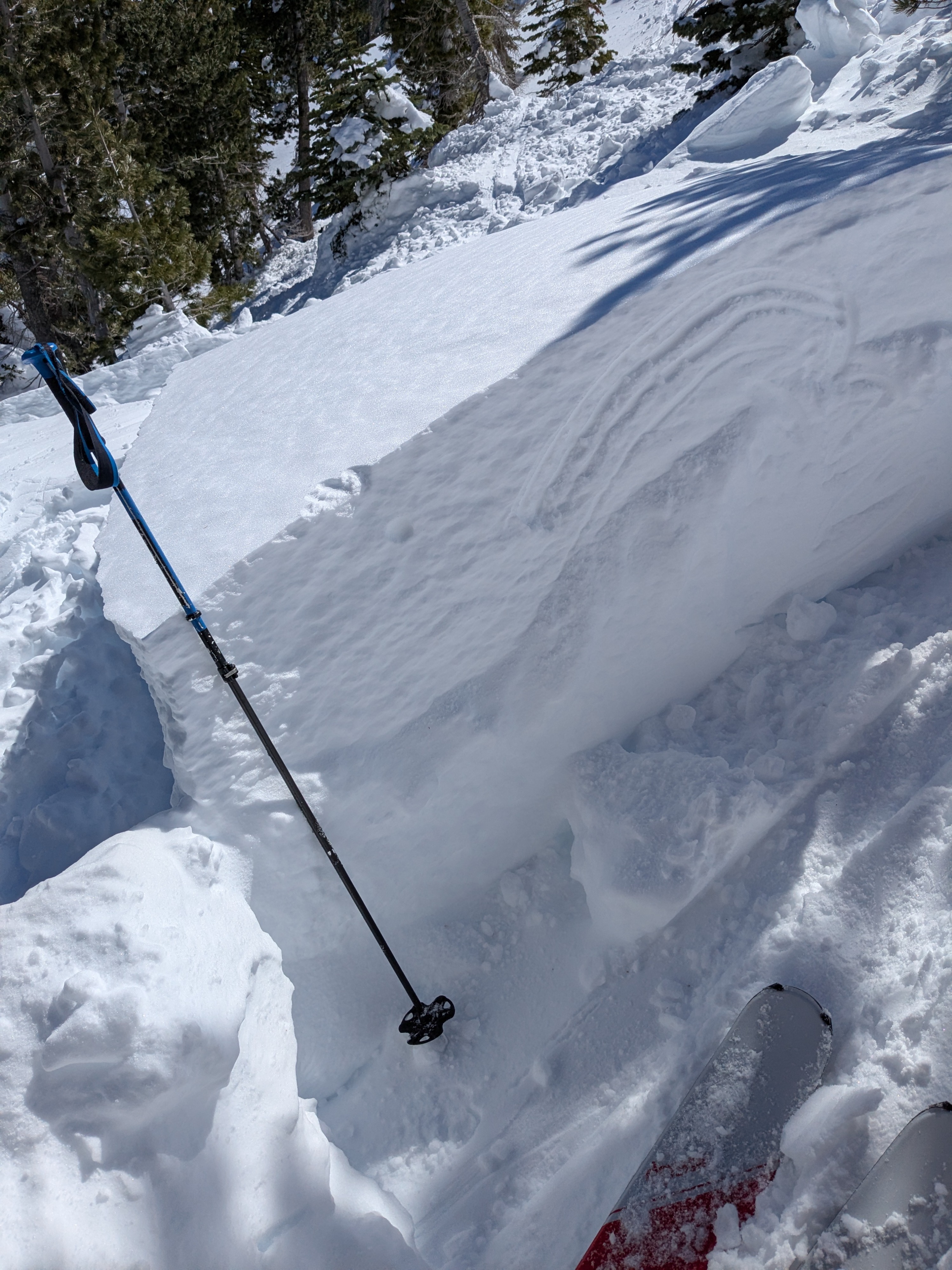
Wide propagating wind slab avalanche that appeared to have been triggered by natural cornice fall. Most of the hard slab debris showed a slab thickness ranging from 1 to 2 feet. Isolated blocks were up to 3 feet thick. I was able to assess the southern flank area and some of the largest blocks of debris. There were no indications of rain crust in the flank, bed surface, or on the bottom of the slab debris to suggest that this avalanche involved a deeper weak layer such as Feb 10. The size of this avalanche pushed the upper limit of size D2.