
Quick report
- Cracking
- isolated
The good news: our primary concerns are limited to new snow problems (wind slab/storm slab). The less good news: the structure of the upper 12-18" of the snowpack is weak. This will create an upside-down nature to the new snow (i.e. strong over weak) as new snow stacks up. This weak snowpack structure has not been an issue for the past three weeks because there has been no slab atop this weak snow. We are now building that slab. The weak, soft snow near the surface will likely not hold the weight of this incoming storm. Winds were blowing strong out of the S/SW and are forecasted to continue through the weekend along with 1-2 feet of snow.
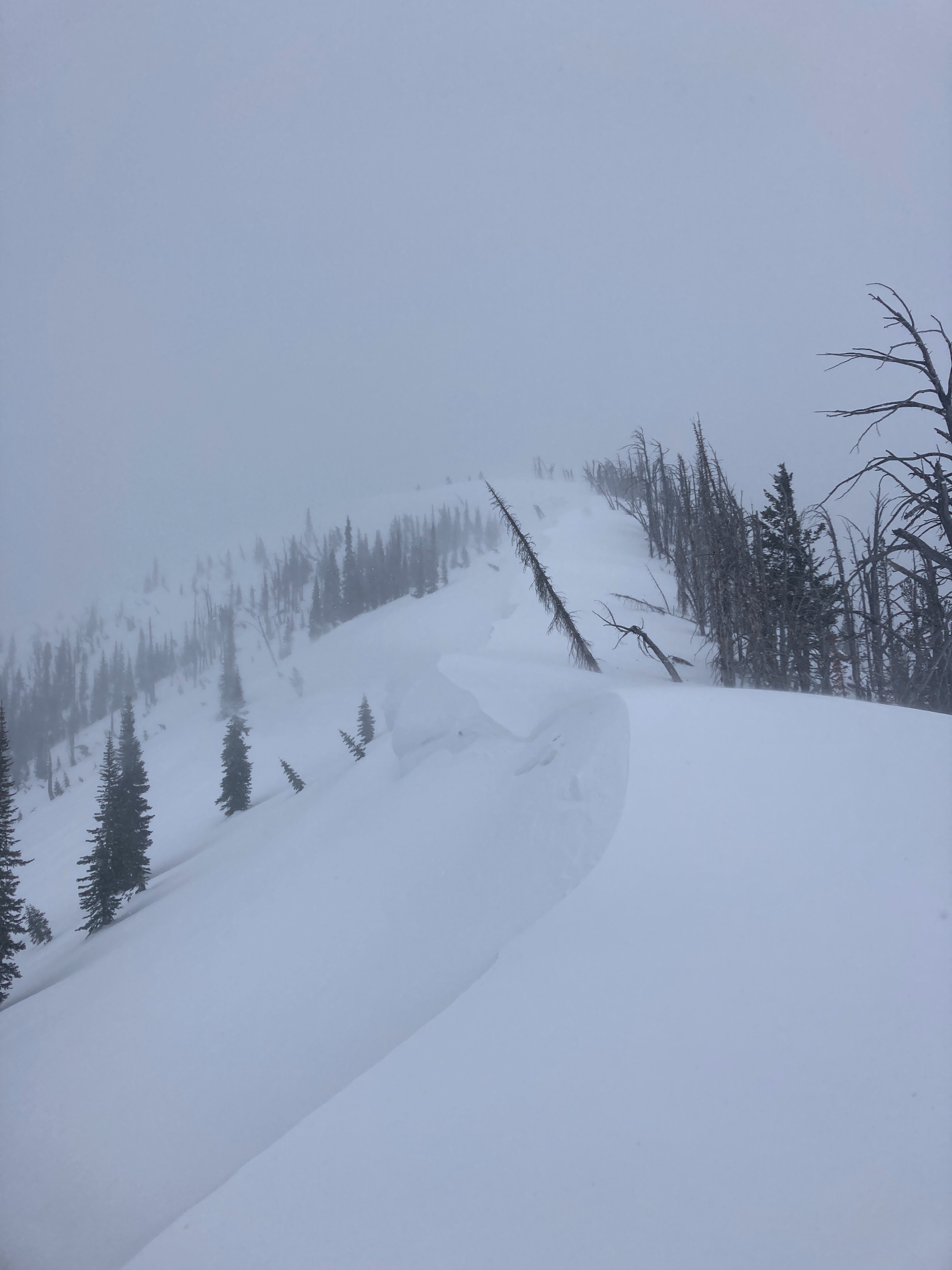
Isolated cracking observed just below ridgelines in steep, wind-loaded terrain. Wind slabs were just starting to build this afternoon, not quite enough snow to see much activity yet.Weather
- Cloud Cover
- overcast
- Wind Loading
- moderate
- Rain Elevation
- Below 5000'
- Recent Snowfall
- 3-6
- Snow Avail For Transport
- small smounts
Snow began sometime around 0900 in McCall. Snowing moderately all day (<1"/hour). Moderate to strong S/SW winds were blowing all day, speeds increased with elevation. 2-3" of accumulation at the sleds over 4ish hours.
Snowpack
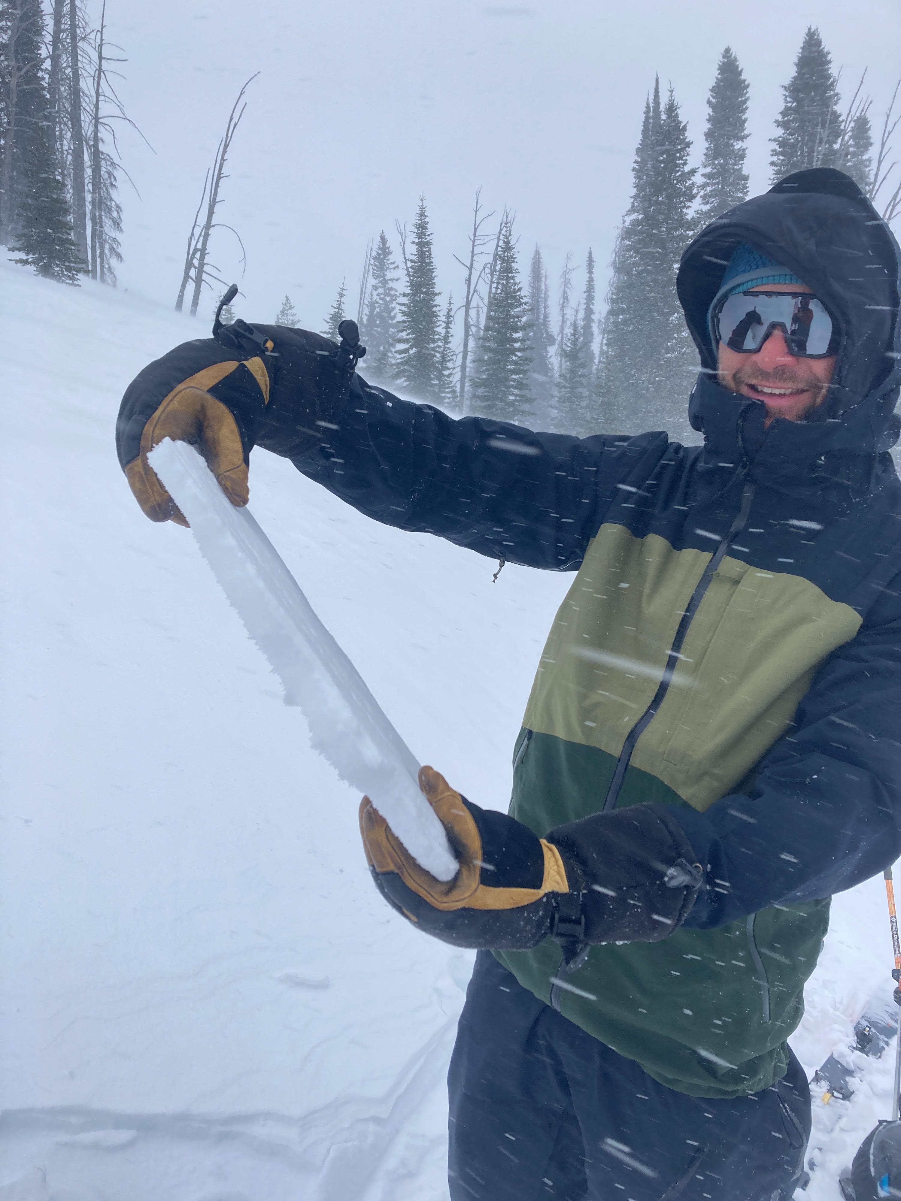
Our observations were targeted to the upper 12-18" of the snowpack. We dug into the snow in three different locations, observing a fairly similar structure in all three locations. Overall, 6-10" of weak snow near the surface from the recent high-pressure spell, sitting atop the 01/03 rain crust with weak snow above and below the crust. Solar aspects were getting stripped from winds and had a 1-2 cm thick melt-freeze crust at the surface from recent days. Our primary concern is the new/old interface failing on the weak snow from our January dry spell.