
Quick report
- Cracking
- specific
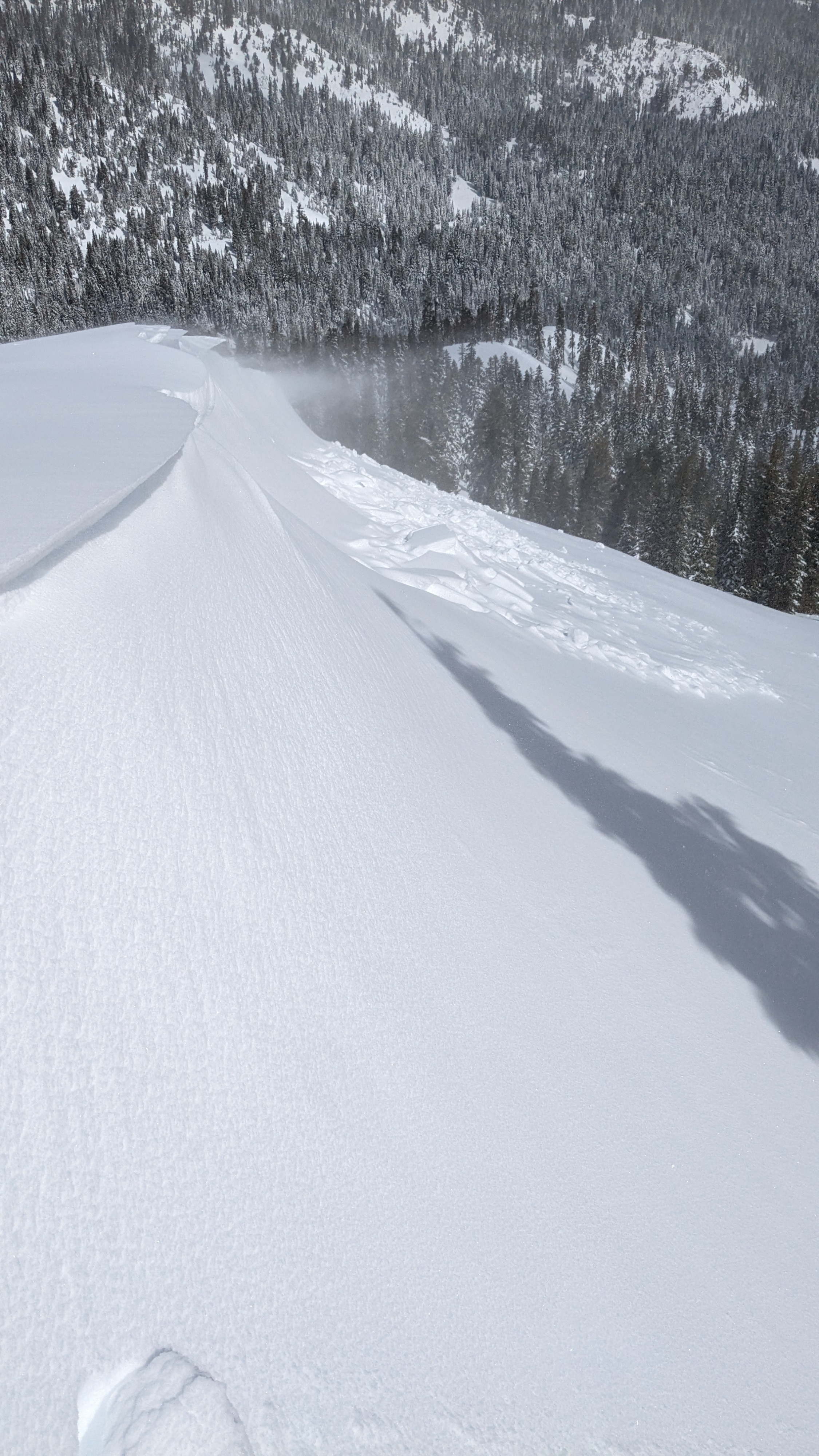
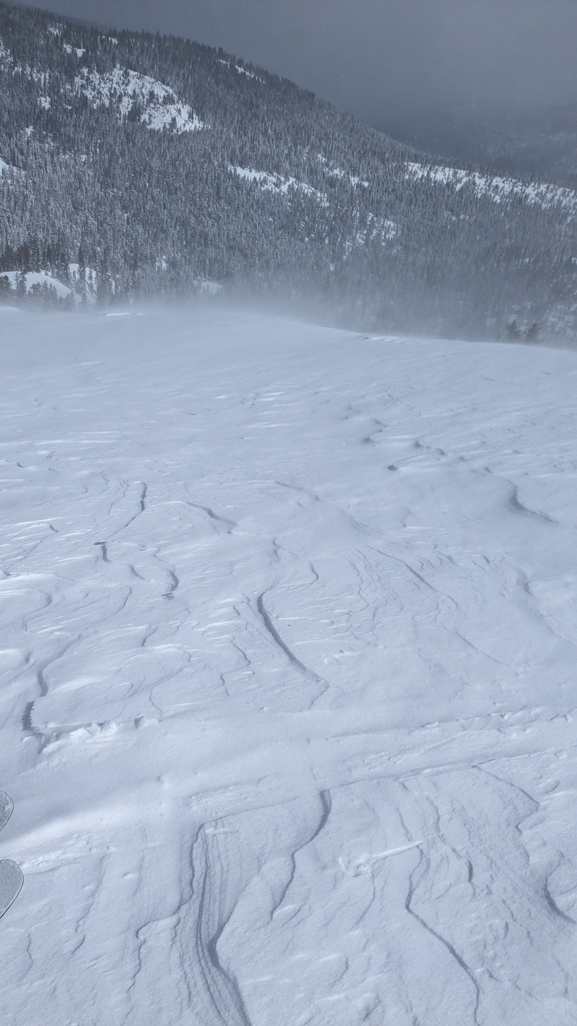
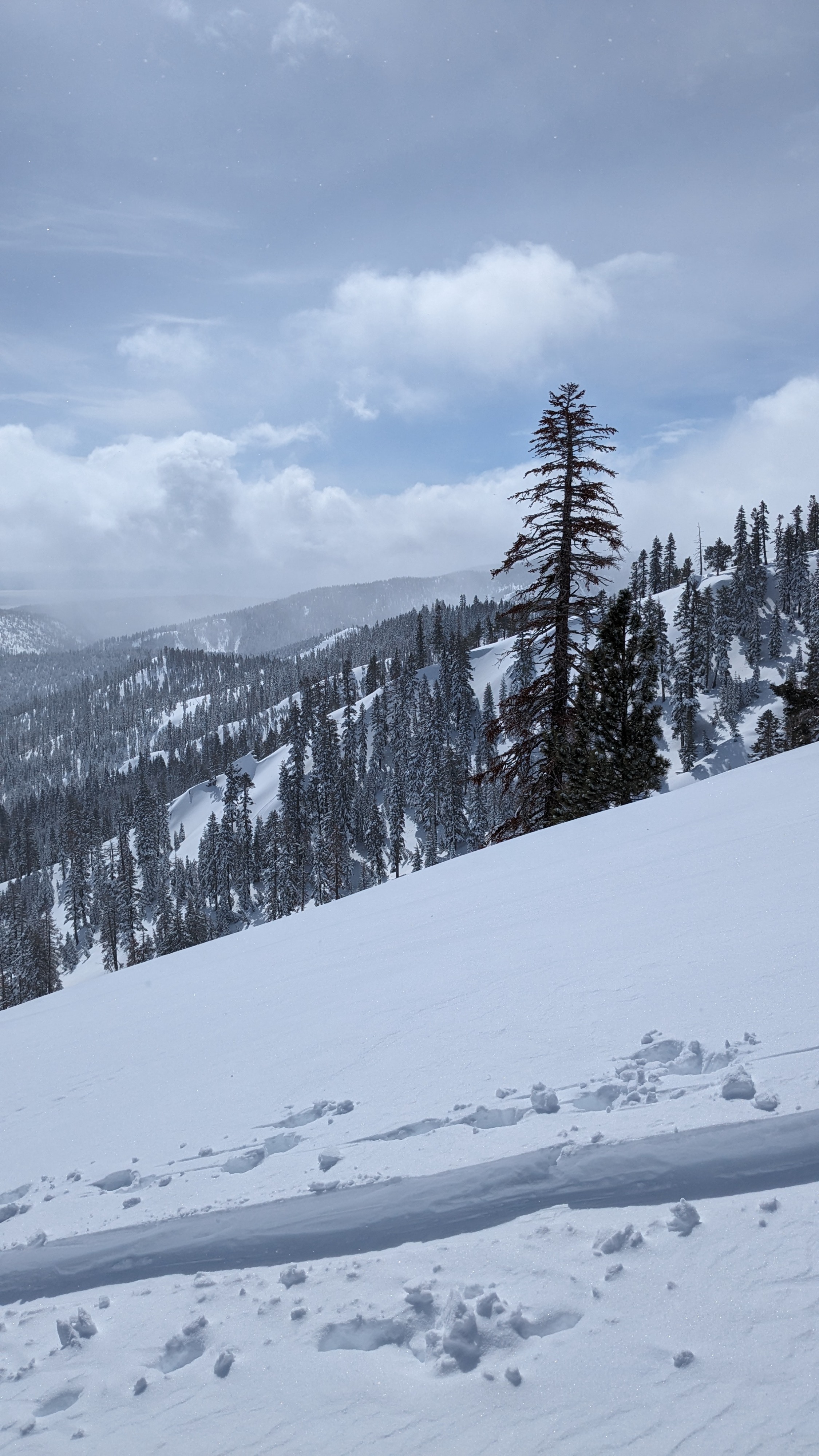
We toured into Silver Peak today, traveling mainly on N-NE-E aspect terrain. Ridgetop winds had more of a westerly than southwesterly direction and were wrapping around the N side of the Peak. Direct wind loading was occurring on E aspects along the ridgetops. Cross loading was noted into pockets of NE aspect terrain ATL. Unstable wind slab/wind slab avalanches were noted on the directly wind loaded E aspects ATL/NTL. The wrapping wind was also scouring N aspect cornice/wind pillow right at the ridgetop in ATL/NTL terrain.
Settled new snow amounts from the past 36 hours were around 1 to 1.5 feet in wind sheltered areas. Significant solar radiation was evident during the sun breaks that occurred in between snow showers. During the late morning and early afternoon hours, the recent storm snow became increasingly dense at the surface. This was most pronounced on solar aspects including E aspects as well as on lower angle northerly aspects with significant sun exposure.
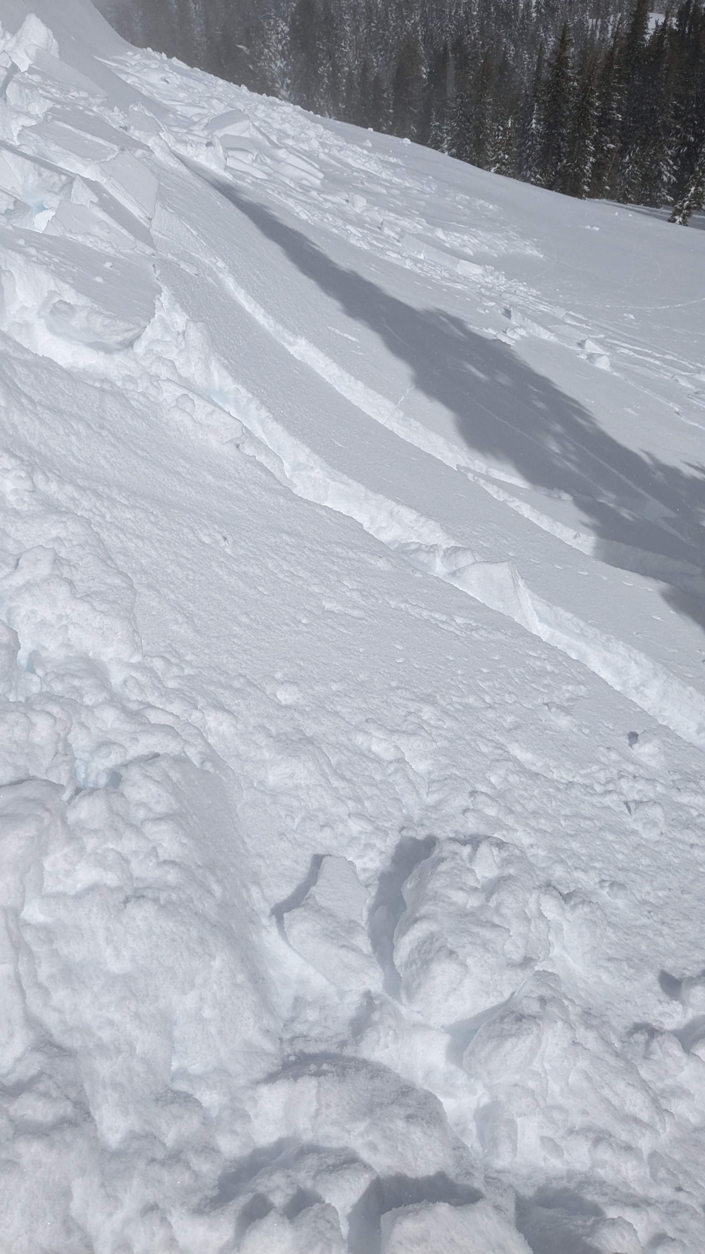
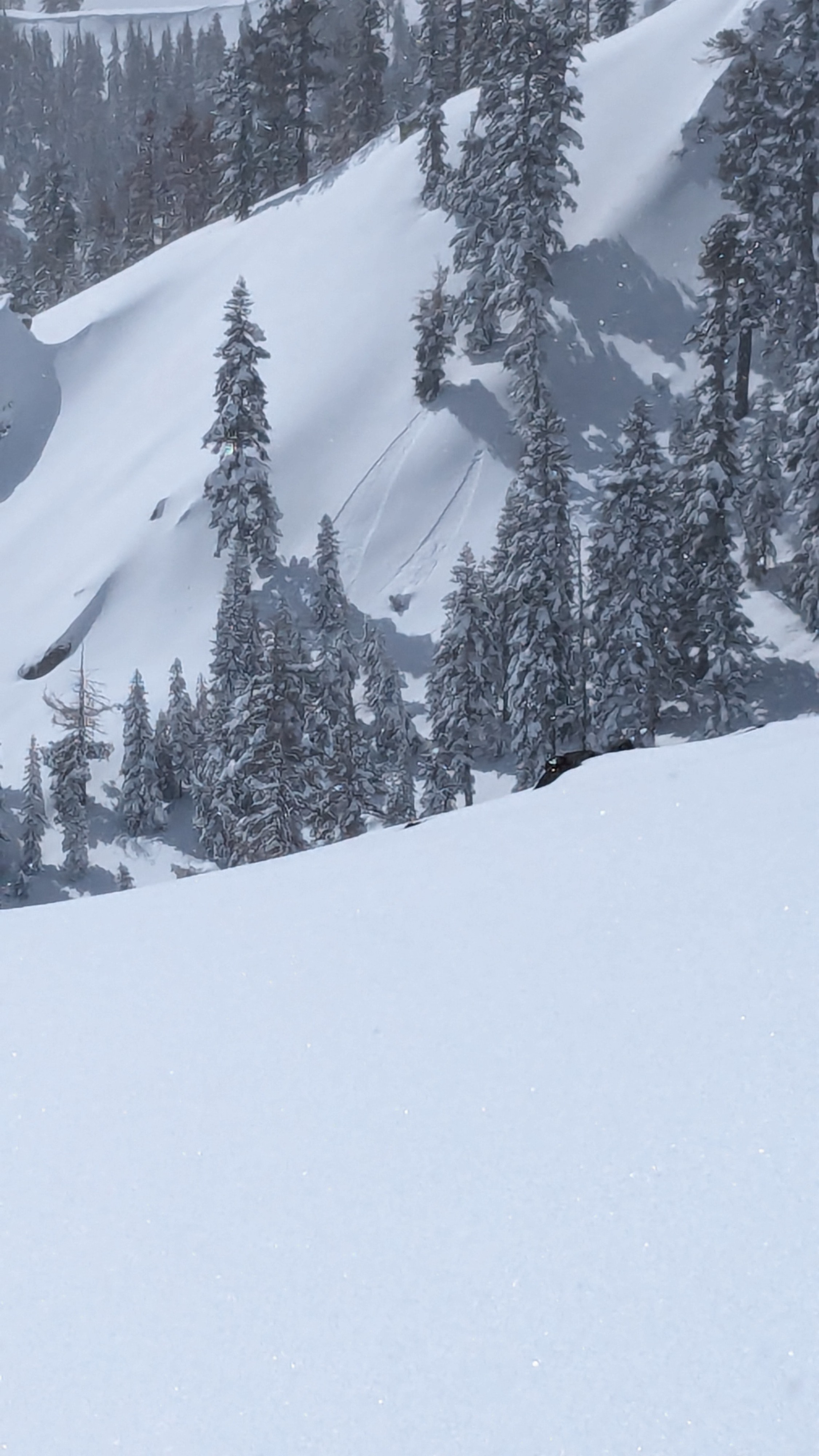
Recent natural wind slab avalanche, six inches deep, size D1 R4. Short down slope run with wide propagation. Easy to trigger cracking and additional wind slab failure just outside the flank. We also observed a skier from another party trigger a size D1.5 dry loose avalanche in steep NNE aspect terrain.Weather
- Cloud Cover
- scattered
Partial clearing starting around 0930 and lasting into the afternoon hours. Off and on snow showers became increasingly convective in character from around 1130 onward.