
Quick report
A short duration trickle of snow has added some perceptible snow to the snowpack in Hatcher Pass at mid-upper elevations. Temperatures at Independence Mine Snotel are still getting below freezing at night (27* minimum last night) and keeping things from going full tilt to summer conditions in the Pass. While low elevations and solar aspects appear pretty cooked and isothermic, colder temps despite clouds and greenhousing by day have kept some of the upper elevation northerly snow around and in decent shape.
Pay attention as temperatures continue to climb:
-Watch the Snotel sites on the Weather page of hpavalanche.org to monitor lack of overnight freezing
-Time your tours to avoid steep solar aspects that still have snow
-Watch out for sagging and drooping cornices at ridgetops and manage runout angles below
We miss writing you a forecast. Continue submitting observations if you get out in the field.
<3 HPAC
Weather
- Air Temp
- 32
- Cloud Cover
- obscured
- Wind Loading
- unknown
- Rain Elevation
- 3,400'
- Recent Snowfall
- 5-9cm
- Snow Avail For Transport
- small smounts
Obscured skies, calm-light winds. Drove up in light rain, S-1 snowfall at the IM parking lot. This had moments of more intensity but accumulation remained at trace levels during our short tour.
Snowpack
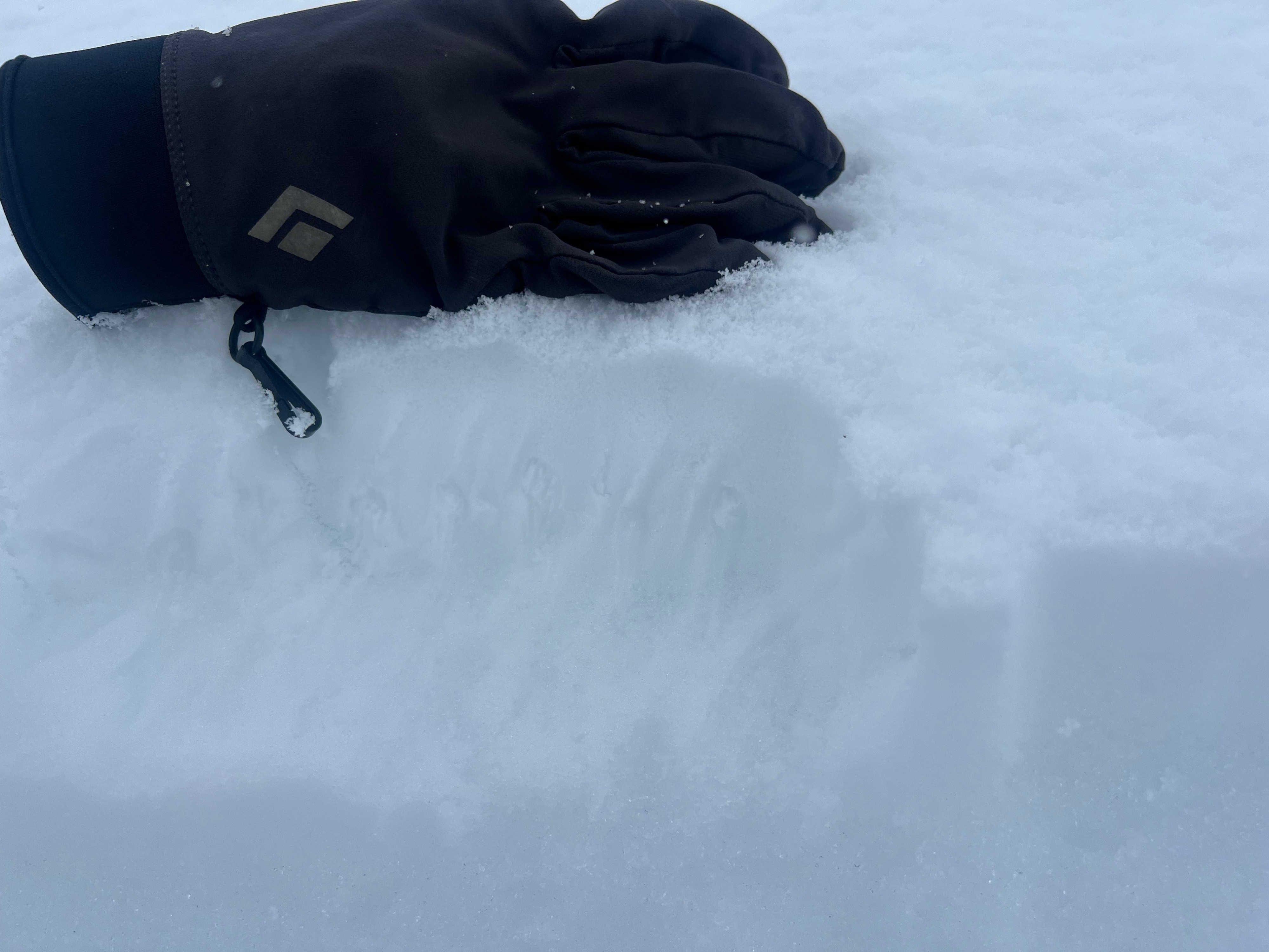
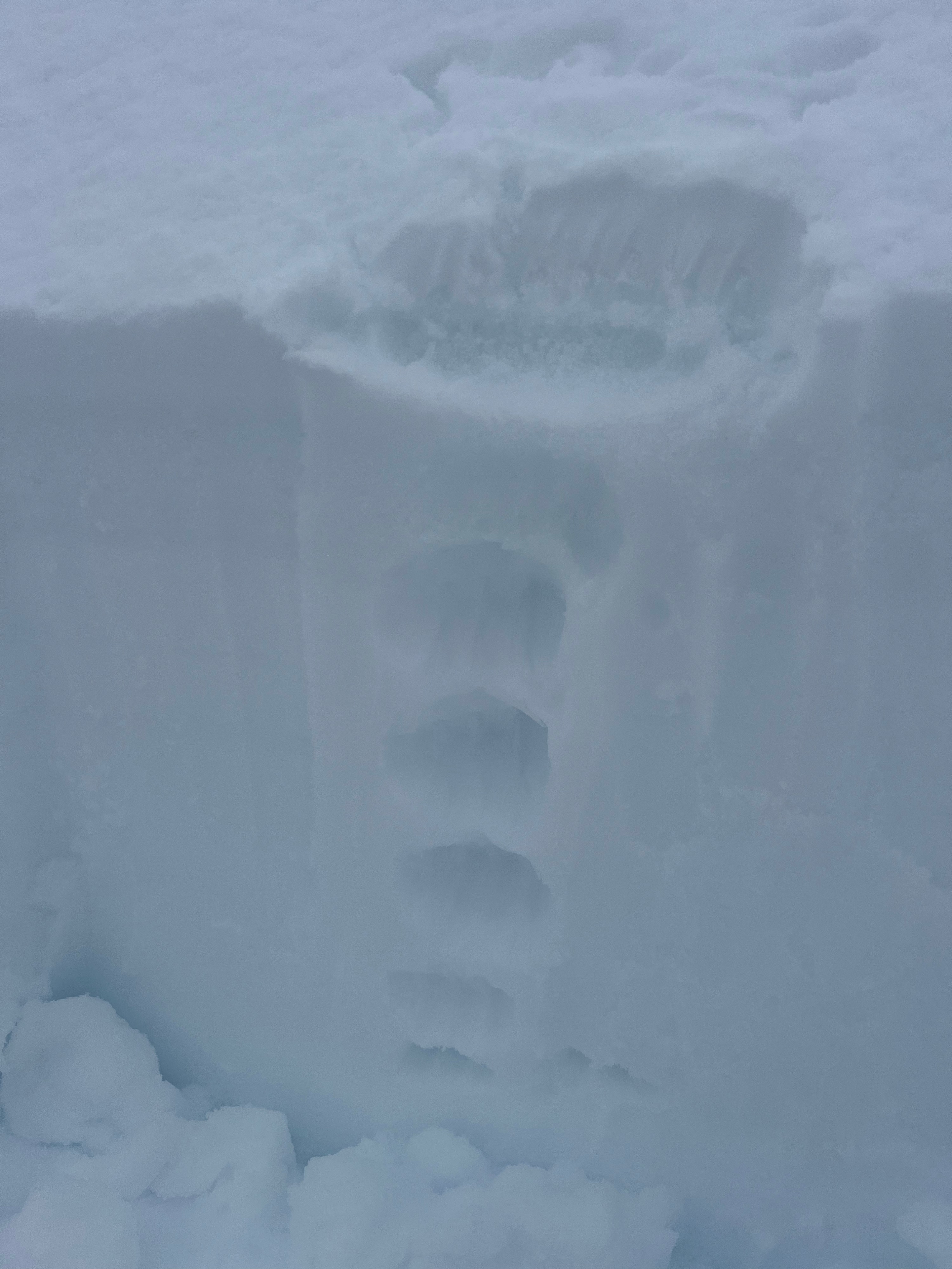
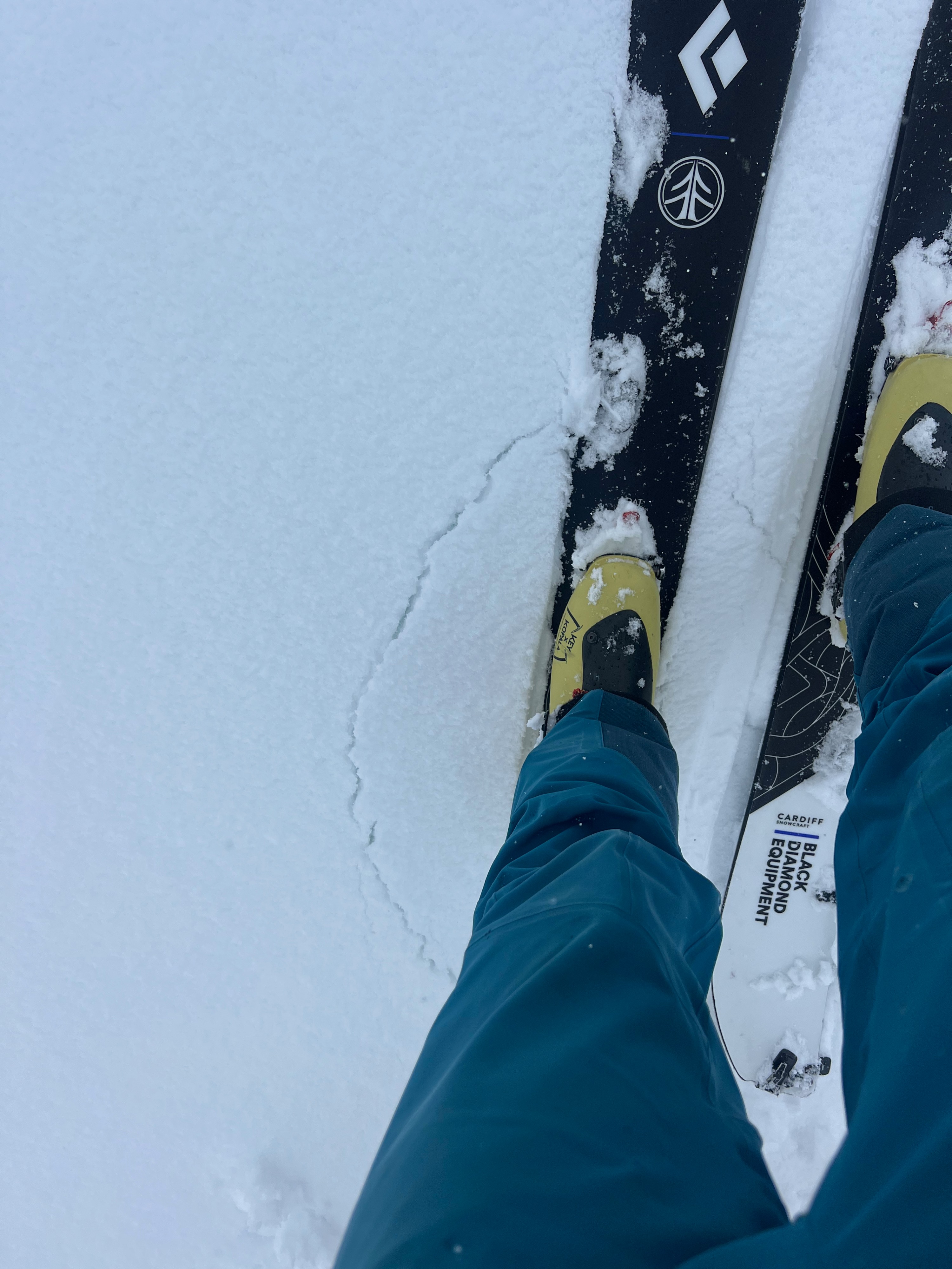
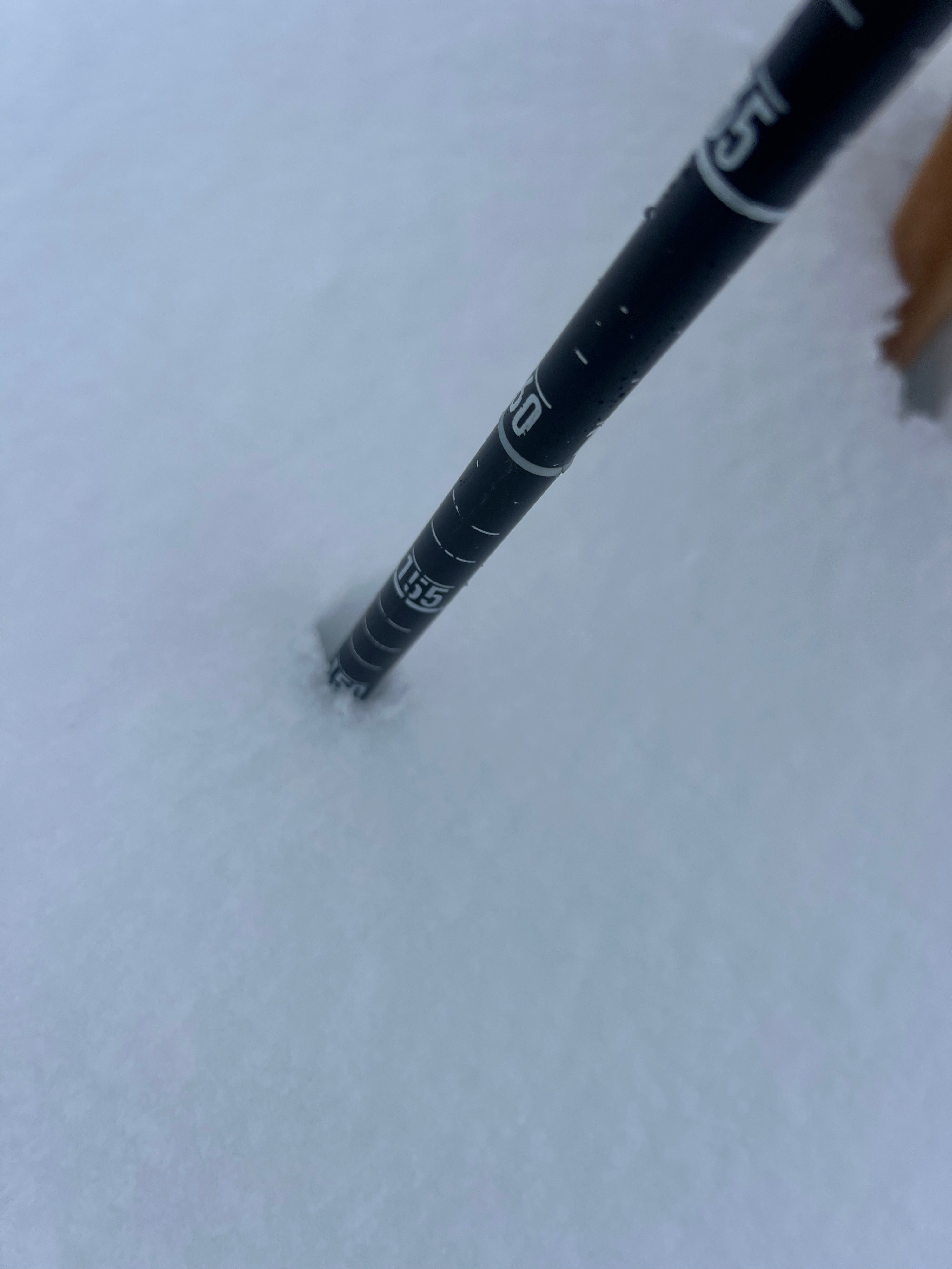
5-9cm of new snow observed at elevations between 3,400-3,600'. Rain and isothermic below that band. Below the new snow from the last 48 hours, we noticed a brittle and supportive crust. This new snow was soft and moist as we traveled and cracked easily underfoot and while skinning/skiing. It appeared well bonded to moist, existing grains. Southerly aspects were wet and isothermic. We were able to kick off wet loose sluffs on test slopes that were 10-30cm deep. North aspects in this elevation band appeared mostly rightside up in the uppersnowpack with some 4F crusts. All grains in the top 100cm were moist-saturated, even on N. aspects.