
Quick report
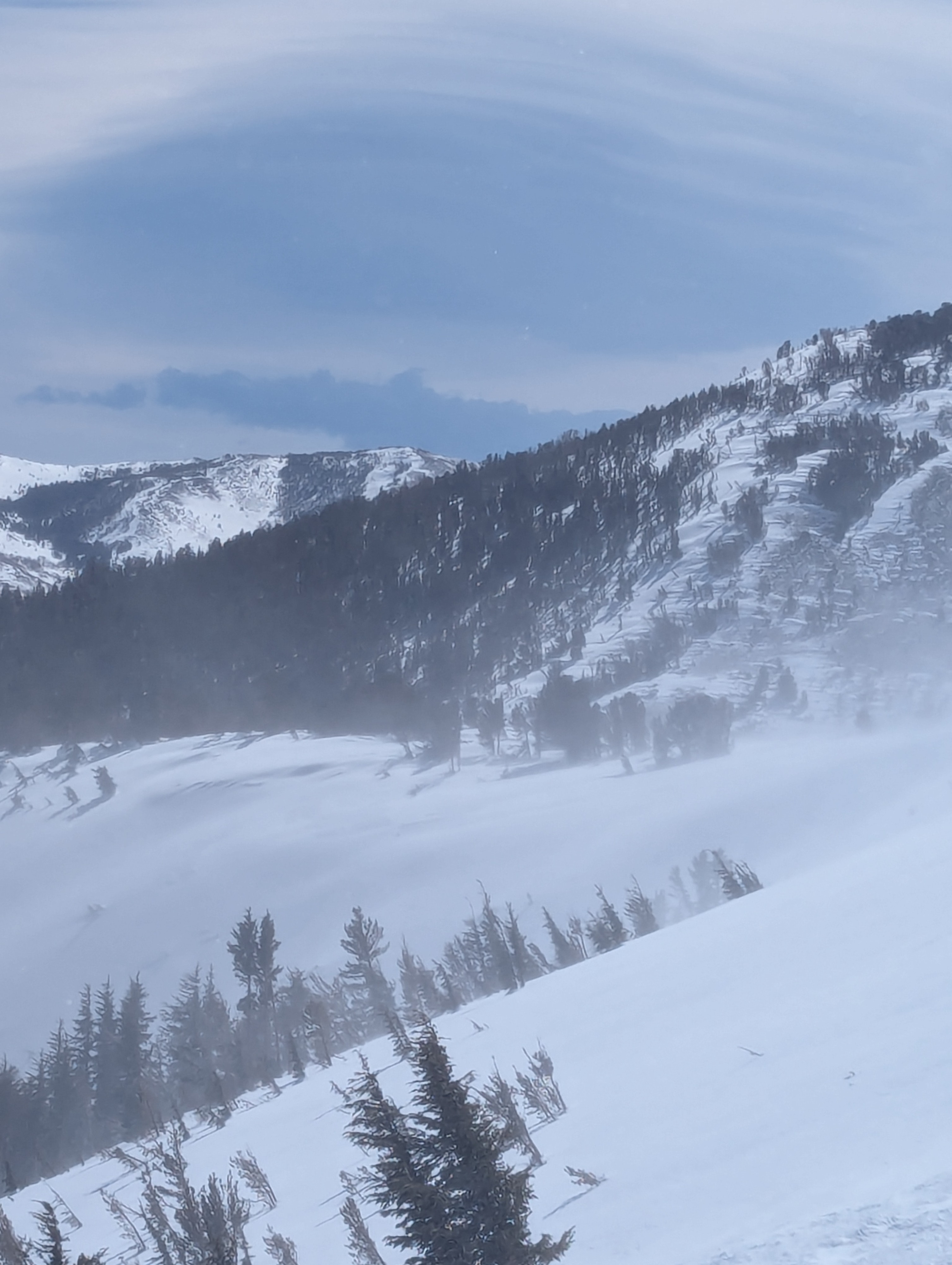
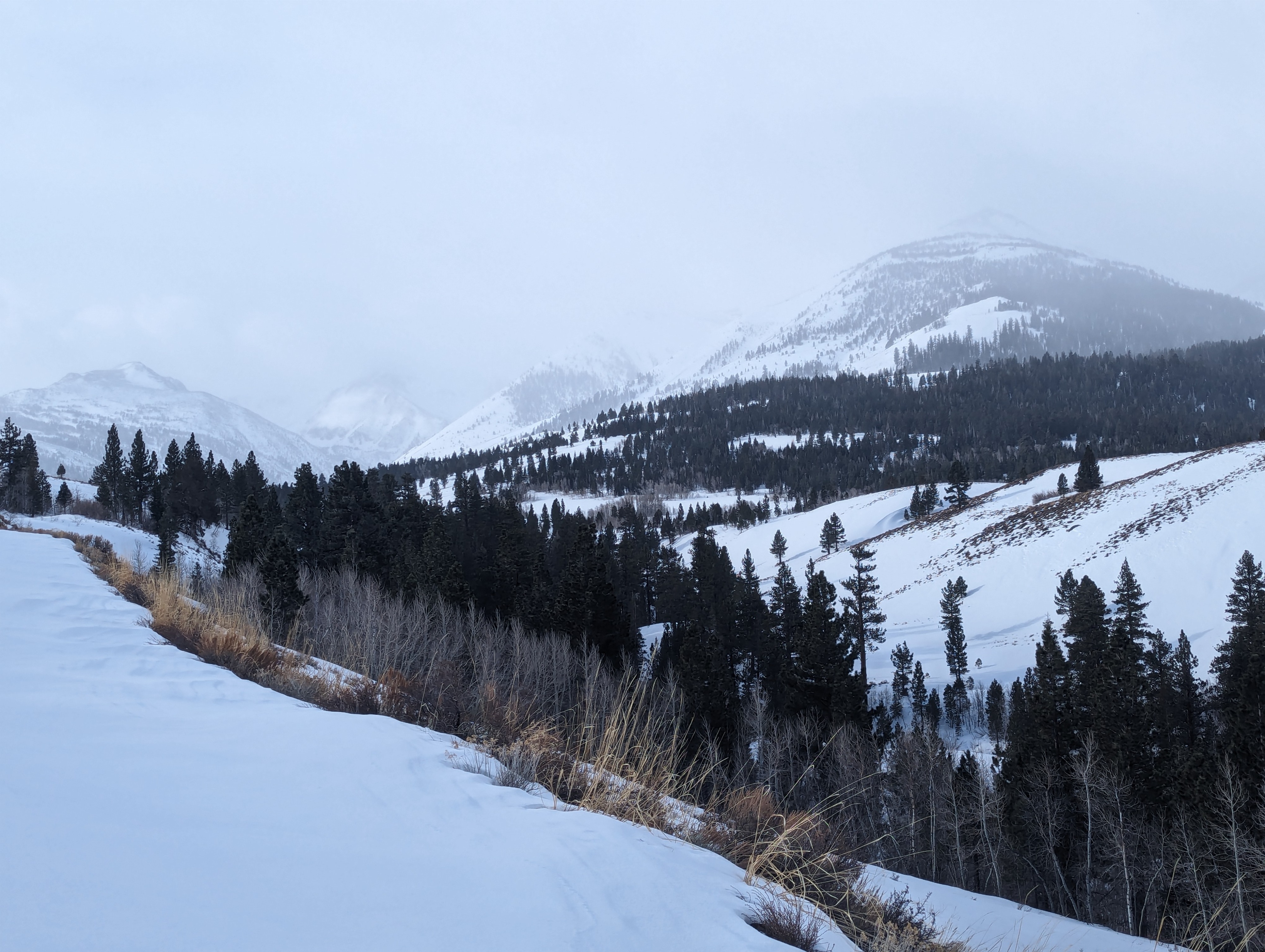
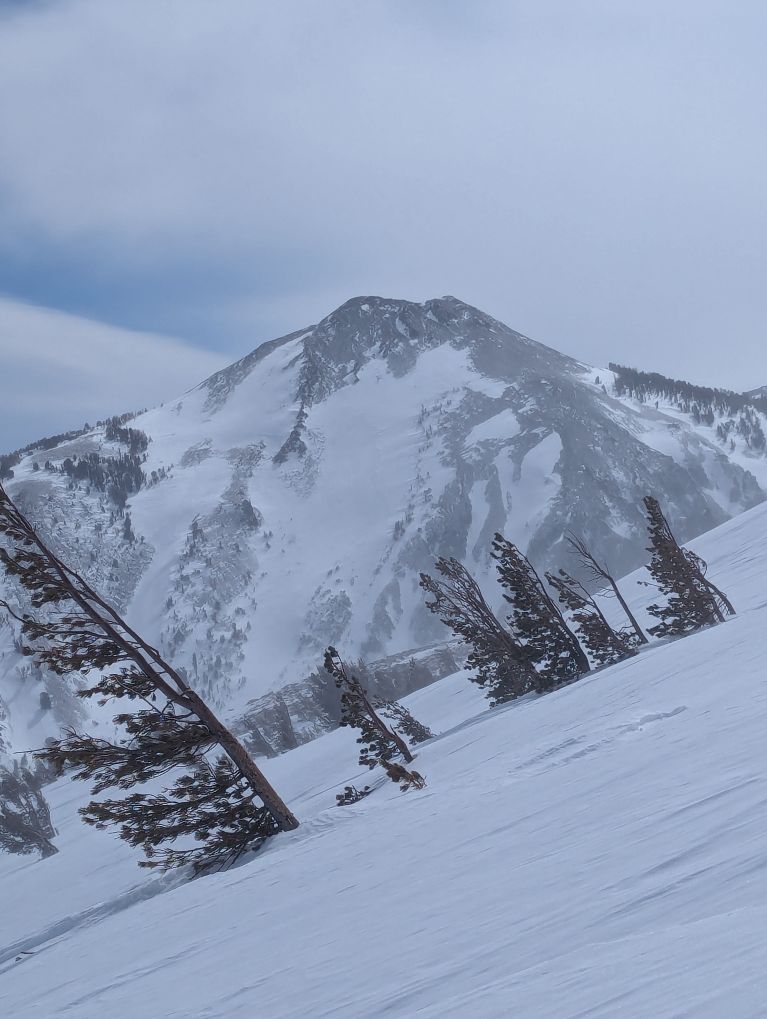
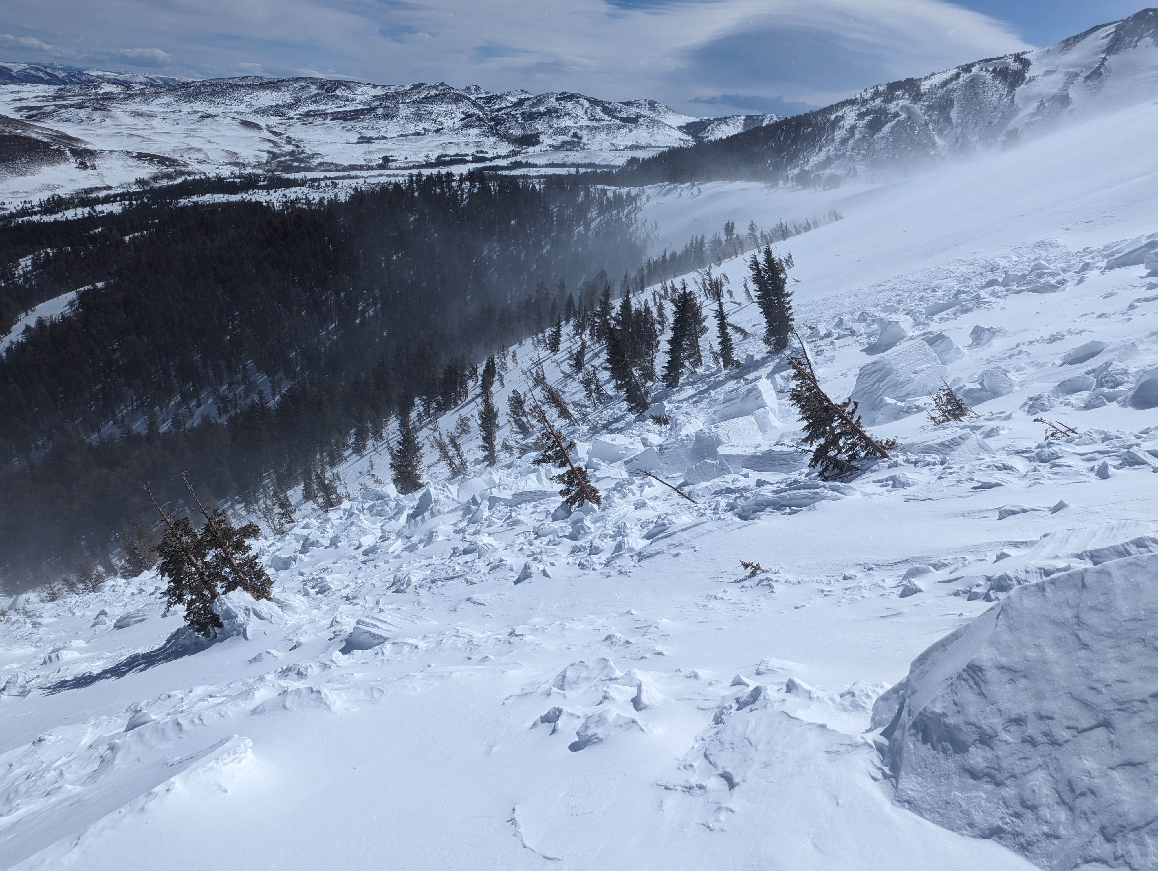
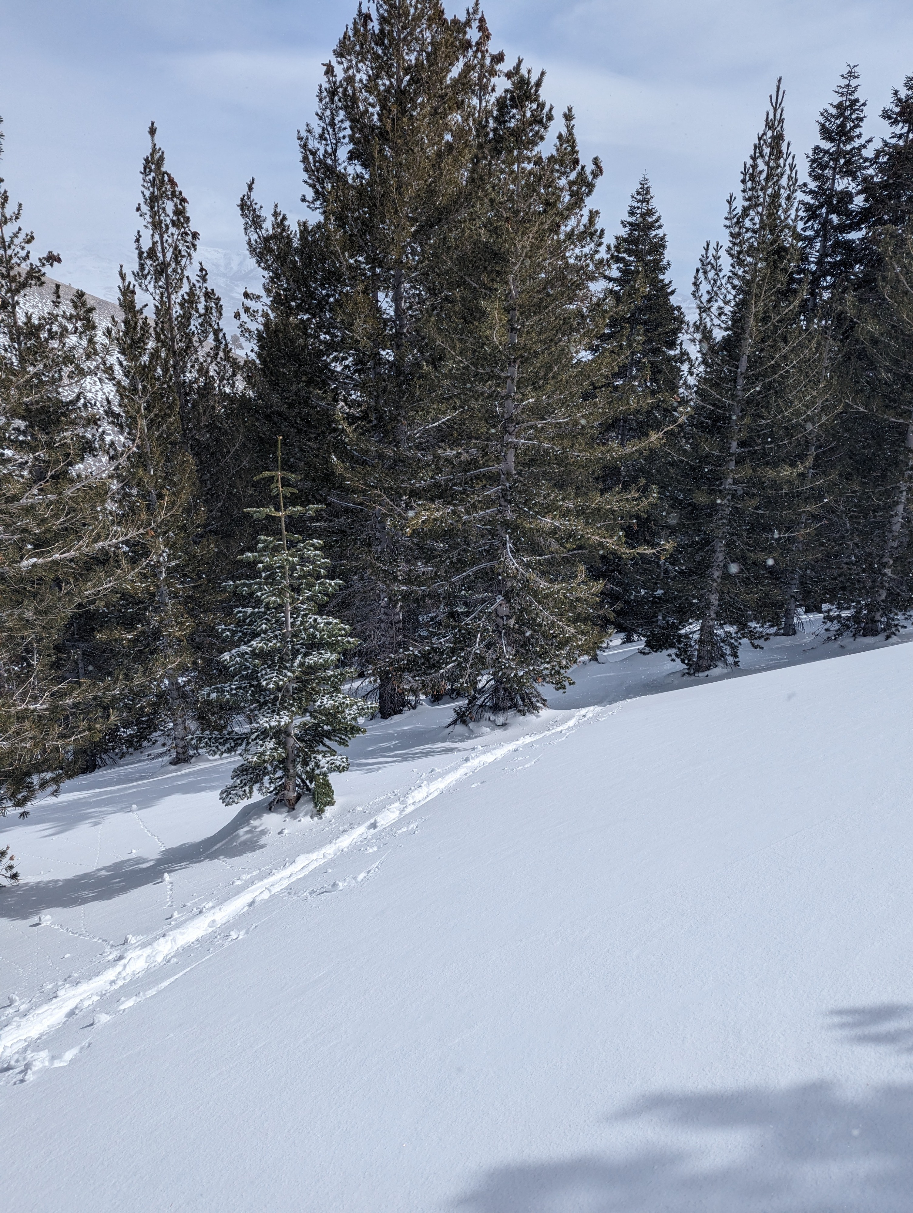
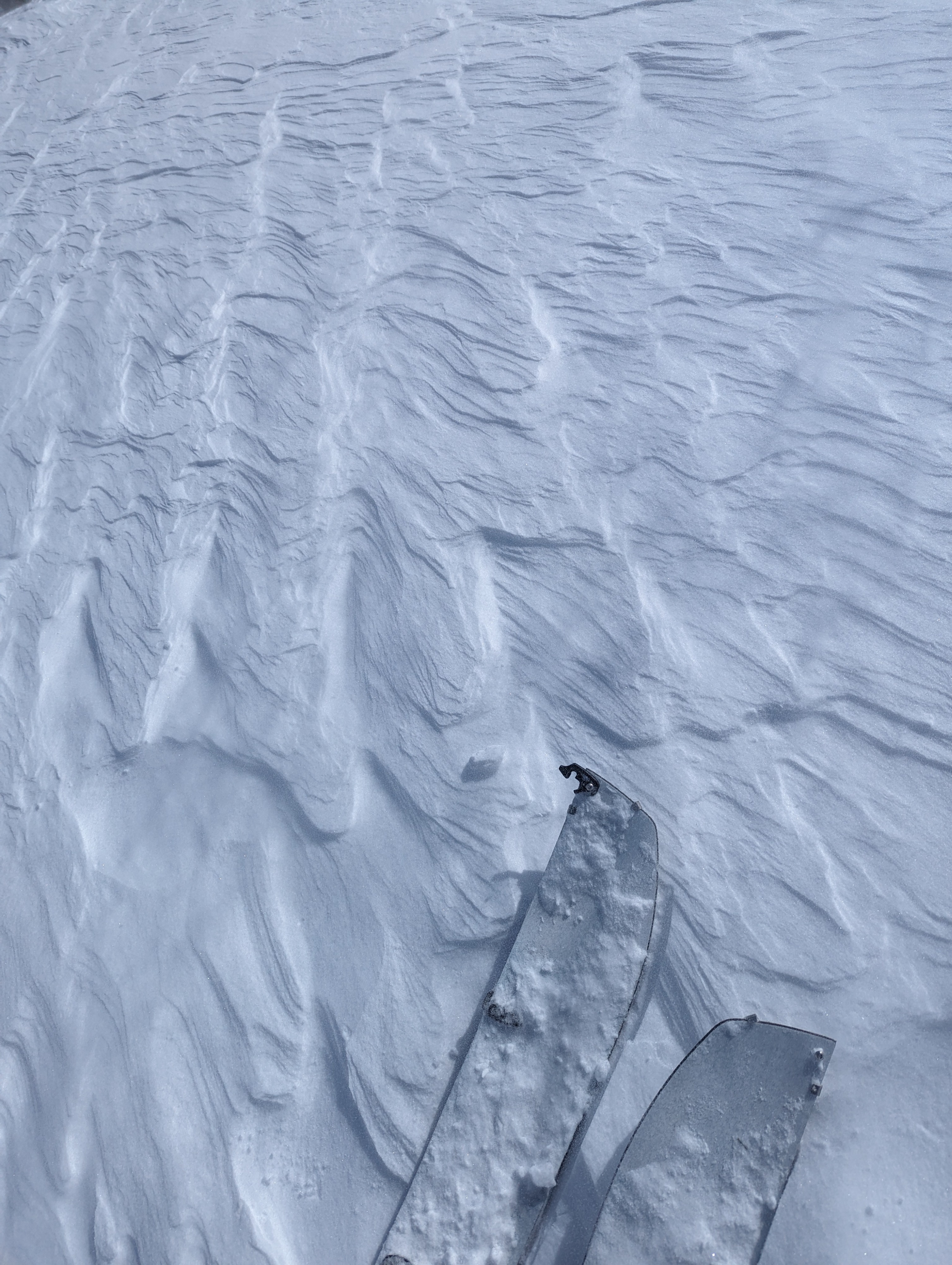
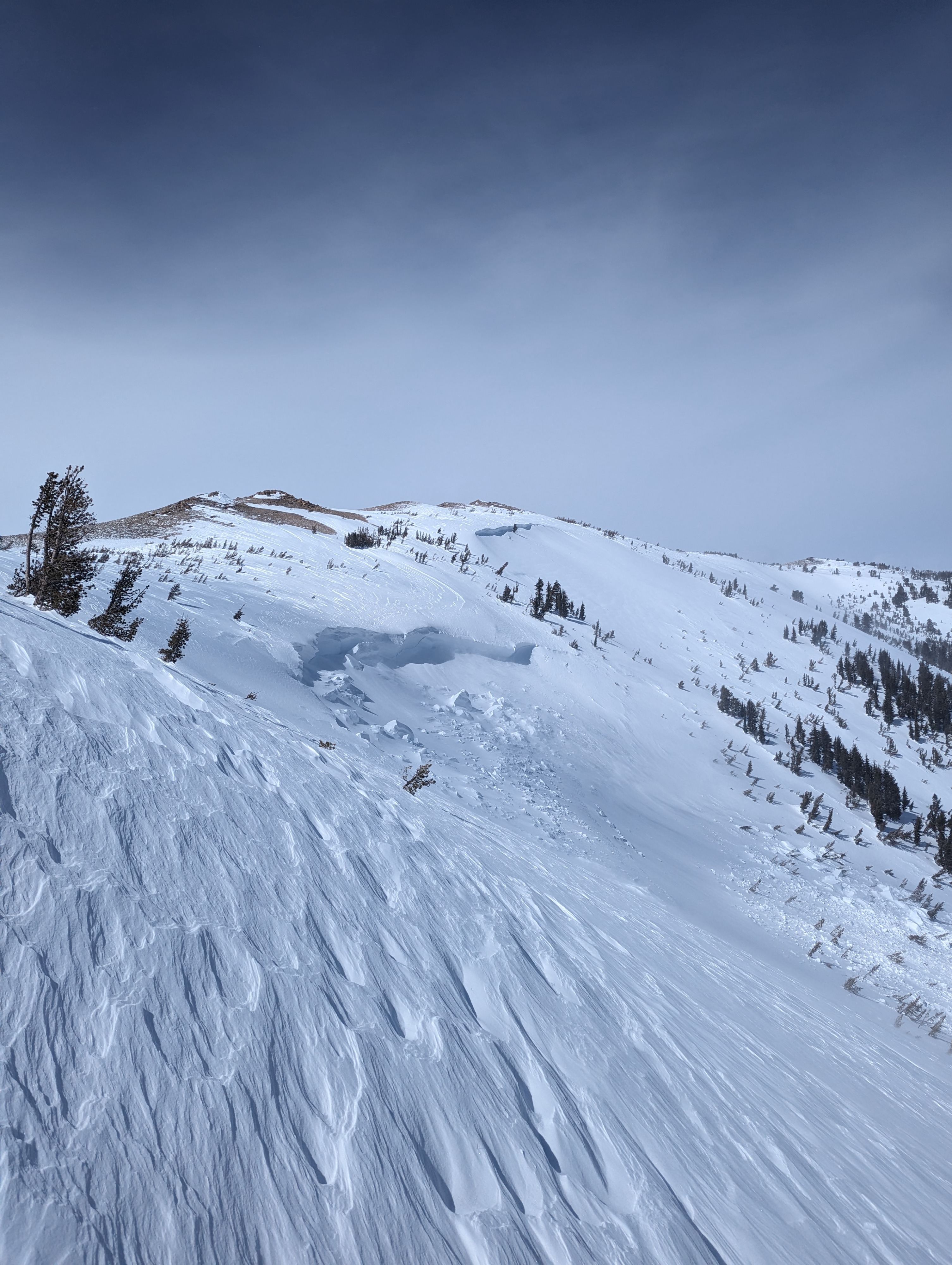
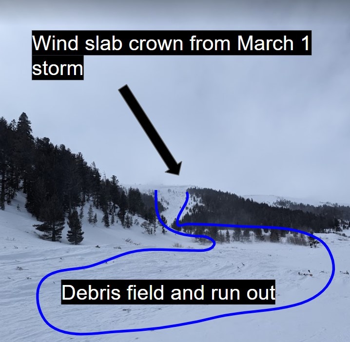
We toured in the Poison Creek area today. We wanted to see how the strong winds and new snow were affecting the snow stability. We also had the chance to see some of the large wind slab crowns from the March 1 storm up close. Bellow tree line the snow was sheltered and had about 4 inches of new snow on top of a melt-freeze crust. Higher in elevation we left the shelter of the trees and felt the full force of the West winds, we expected to see some small fresh wind slabs near and above the tree line, instead, we found mostly wind-stripped slopes. We looked for a few test slopes to try and trigger a wind slab, but we were unsuccessful. We quickly descended off the ridge before we were blown away. We saw too much wind and too little snow to form new wind slabs in this area, Closer to the Sierra Crest may have had enough snowfall today to create pockets of unstable wind slabs.
Weather
- Air Temp
- below 32F
- Cloud Cover
- broken
- Wind Loading
- light
- Snow Avail For Transport
- small smounts
Strong West winds and fast-moving clouds created on again off again snow showers throughout the day. The snow accumulation was only a few inches if it didn't get blown away by the intense wind speeds.