
Quick report
- Collapsing
- isolated
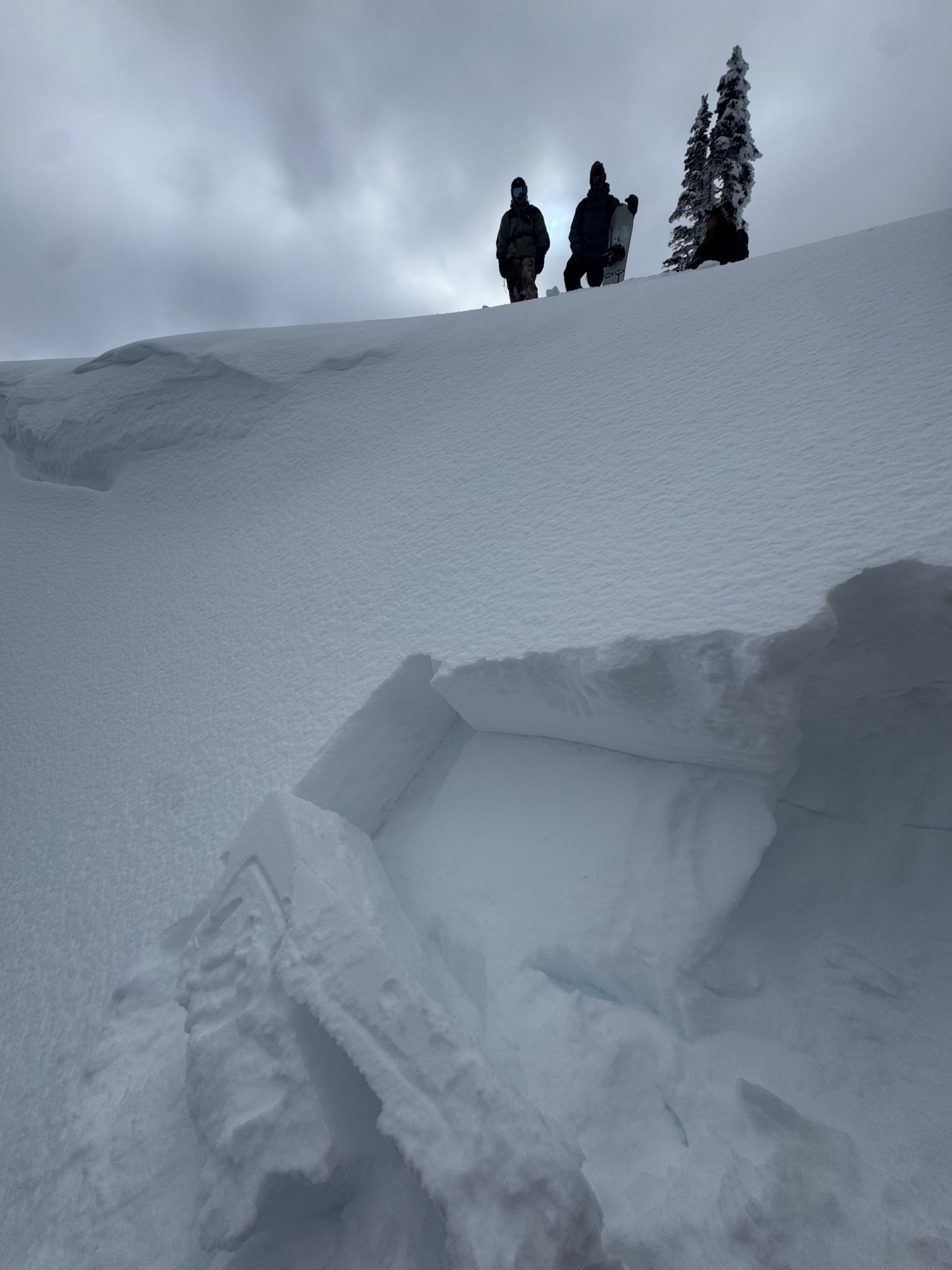
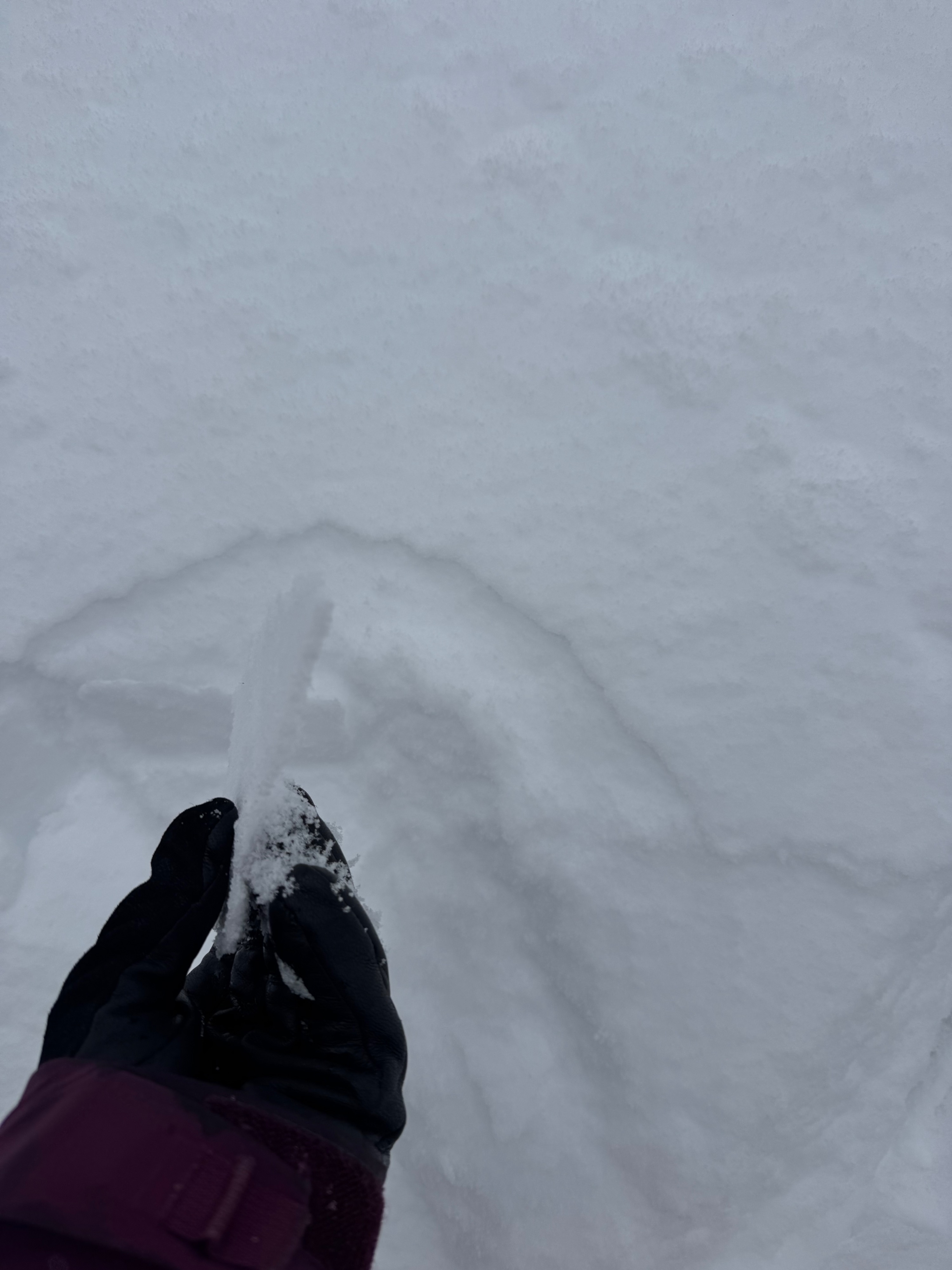
New snow not bonding to old faceted surface snow on W-N-E aspects. New snow sits on Facets that are developed all the way to a rain crust below them. Southerly snow took the green housing and strong sun early Thursday putting a crust mid Thursday afternoon on the surface. By Friday morning new snow was bonded to old firm snow surface. New snow old surface hand sheer results were alarming so I dug on a loaded test slope on a North aspect at 9268’. ECT4 failing 35cm down on near surface facets.
Weather
- Cloud Cover
- overcast
- Wind Loading
- light
- Recent Snowfall
- Trace (Thursday am-Friday am)
Foggy misty weather observed Thursday afternoon through Friday afternoon.
Snowpack
New storm snow took a crusty top cap with a misty night (Thursday night). All aspects surface snow has 5mm to 1cm thick crust. Storm snow is up to 35cm deep on favored areas and reactive with propagation with slope cuts and snow pit tests. Our group kept a low exposure/constrained mind set keeping our terrain manageable for our risk tolerances and abilities.
Avalanche
- Size
- D1 R1
- Type
- SS
- Count
- 2
- Aspect
- N
- Trigger
- AS
- Elevation
- 8800 ft
Skier took hard turn off cliff and triggered an isolated pocket on the steep rollover.