
Quick report
- Cracking
- isolated
- Collapsing
- isolated
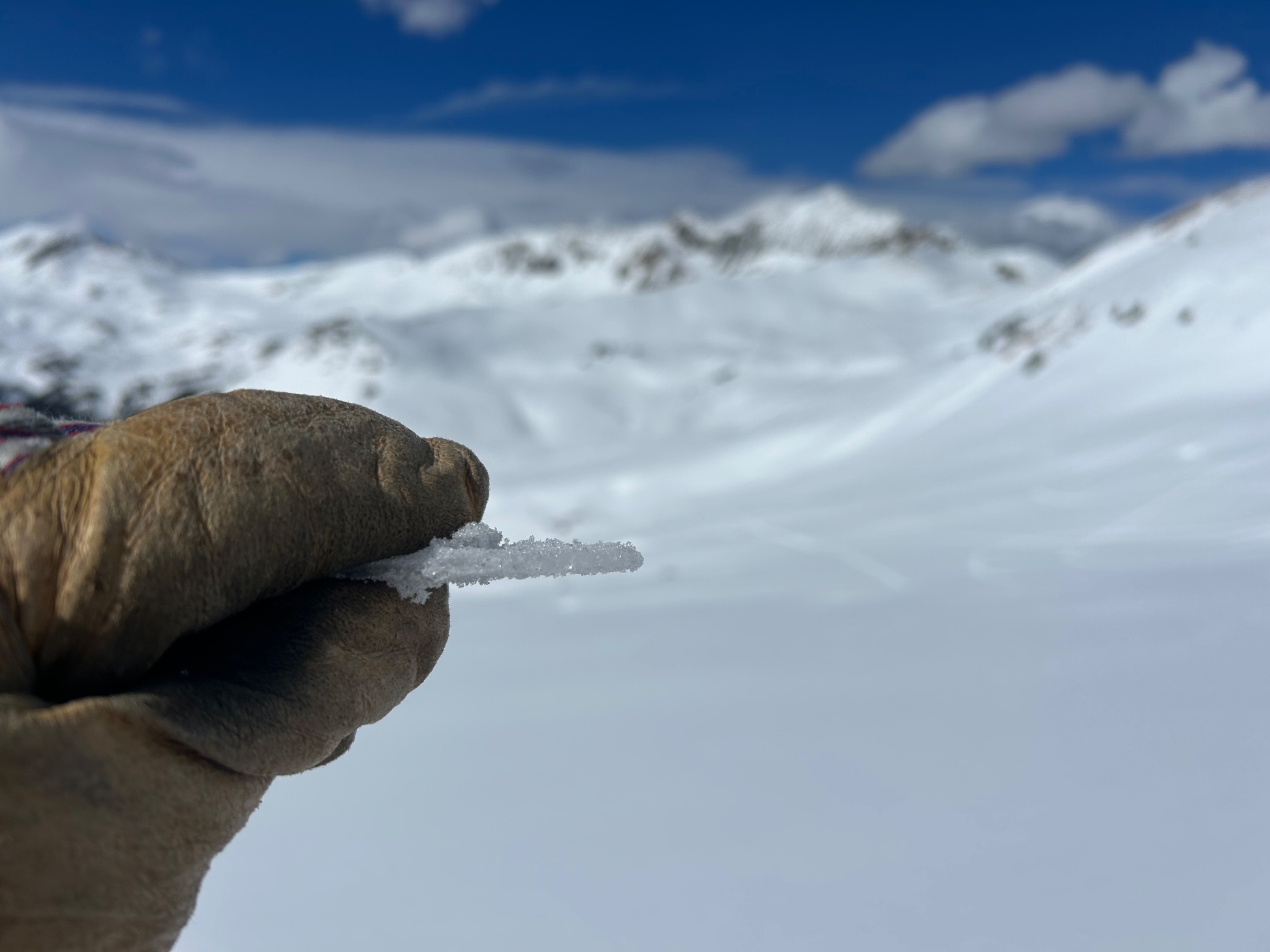
I covered a lot of ground hunting for remote triggers and signs of instability by targeting shallow areas and thick-to-thin transitions. In most areas, the snowpack was quiet under my sled; however, I did trigger a few obvious signs of instability. The snowpack structure on the north half of the compass is total garbage and not to be trusted: facets fell out of the pit as I dug past 2 foot hard slabs (1F), and I consistently found moderate ECTP results.
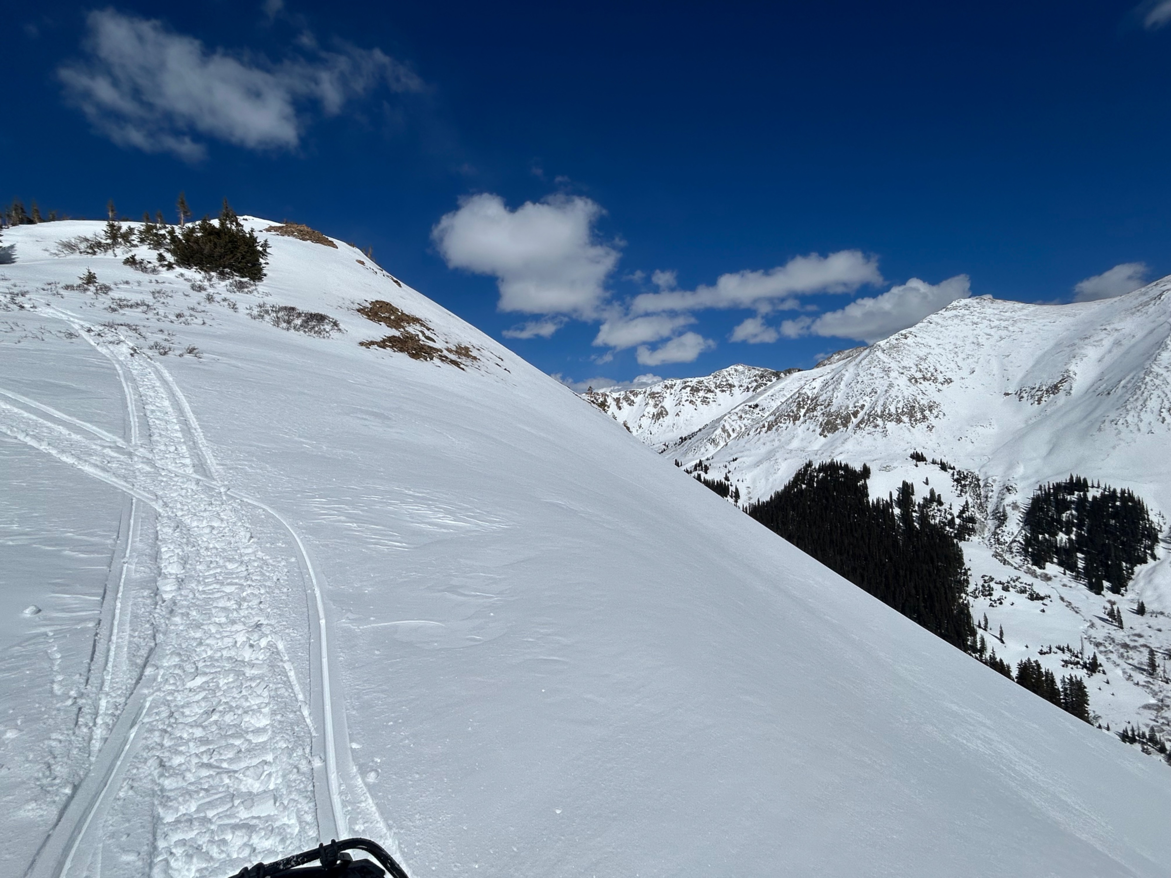
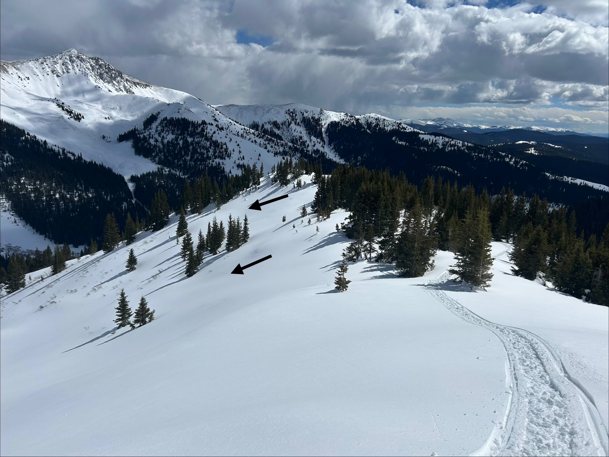
On sled, I noticed 3 collapses/shooting cracks: one was a slope scale collapse on a leeward, east to northeast facing feature at 11,900' that I triggered while crossing an eroded patch of snow near the ridgeline. The other two were smaller collapses (20-30' wide) on windward aspects (NW near treeline and W below treeline), where slabs were thinner and softer. See photos for pits and descriptions.Weather
- Cloud Cover
- scattered
- Wind Loading
- none
- Recent Snowfall
- 3
- Snow Avail For Transport
- small smounts
Snowpack
Surface conditions and riding quality were better than expected: the rain crust is buried a few inches deep, soft and thin here, and slabs are stiff and supportive (1F). They range from 45 cm on windward and BTL features to 70 cm+ on leeward features NTL. Weak layers are consistently large-grained (2mm+), fist hard, and show minimal signs of strengthening/rounding. Slabs appear to be smaller and less continuous on windward aspects ATL, but with more trigger points. I only poked briefly into a SE aspect NTL and found a very thick crust (15 to 20 cm) capping the drought facets, and that was on a 20 degree slope; I would expect an even thicker crust on steeper terrain.
Avalanche
- Size
- D2
- Count
- 11
- Aspect
- N
- Trigger
- N
- Elevation
- 12600 ft
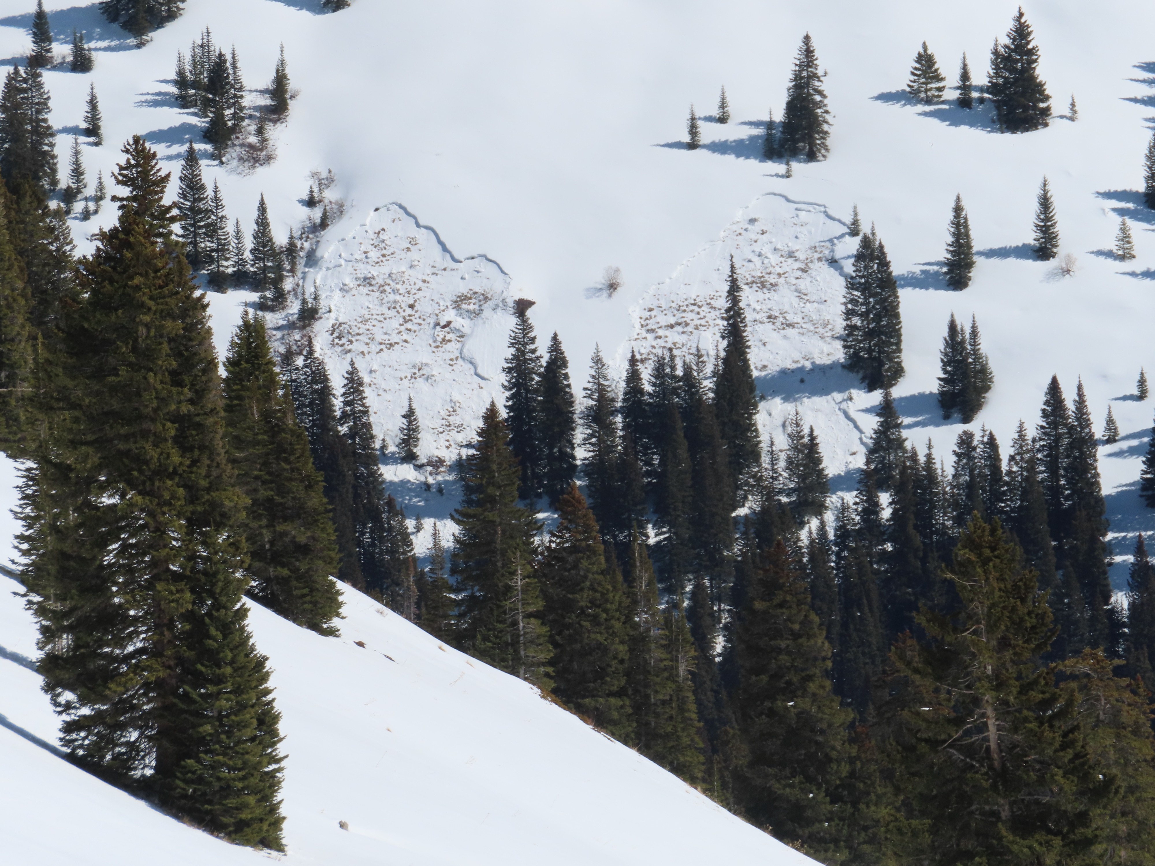
I did not see anything that looked fresh in the past 48 hours. The most recent avalanche(s) were on a west facing slope around 10,800' that are new since Eric and Ben were in the area on 2/24. My guess is they ran the next day during the rain/snow event; the debris looked at least a few days old. I'm documenting a pile of older avalanches that we haven't coded yet, most likely from the 2/17 to 2/21 storm and avy cycle.