
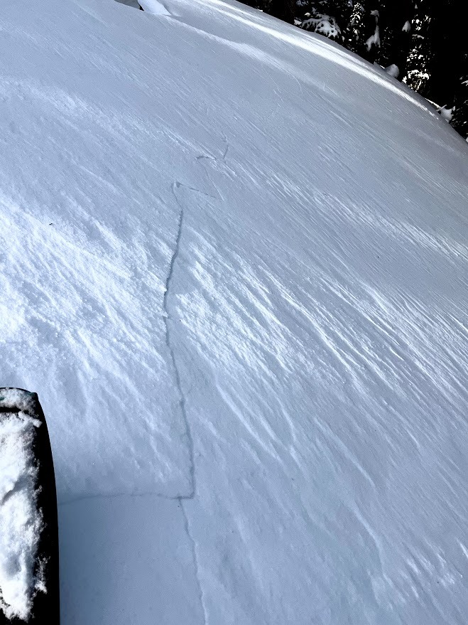
Quick report
- Cracking
- specific
- Collapsing
- specific
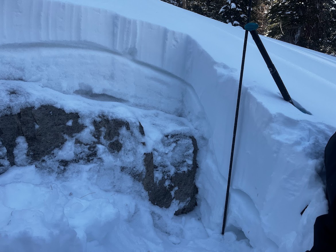
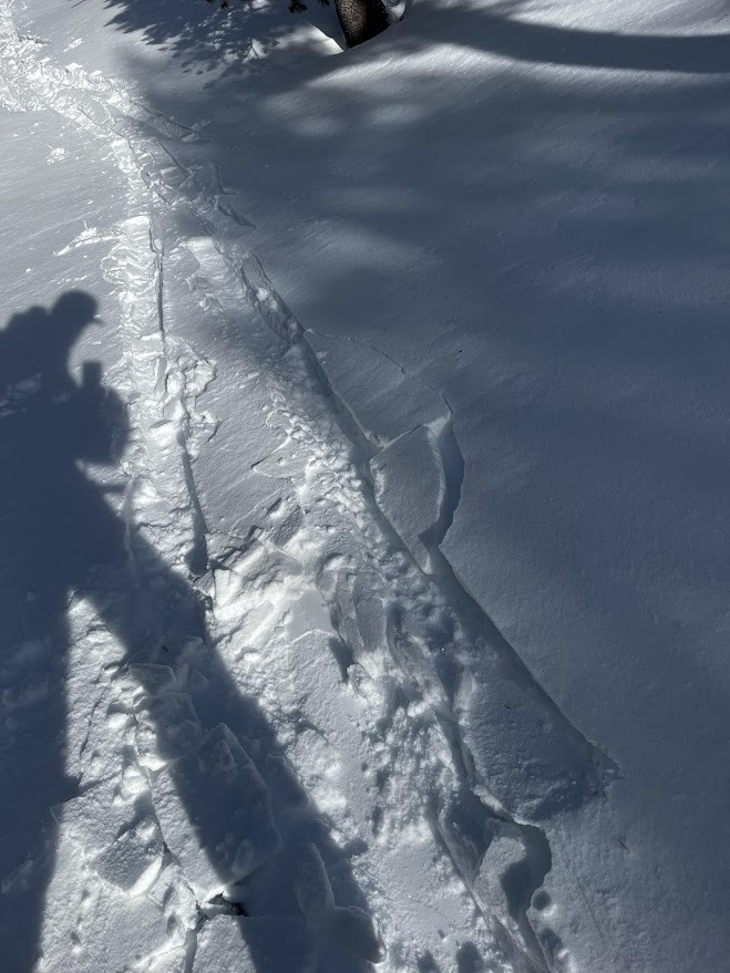
Collapses began at 9600' once above the new MF crust that is 10cm down below 9500'. Collapses were felt at 9600', 9700, and 10200' on N and NE aspects in areas where wind-loaded slopes lost their supportability into shallower / weaker snow at convexities and around boulders. All collapses were feature scale (small slope scale).
Weather
- Air Temp
- below freezing
- Cloud Cover
- scattered
- Wind Loading
- previous
- Rain Elevation
- 9500' (previous storm)
- Recent Snowfall
- 13cm to 18cm (4-7 in)
- Snow Avail For Transport
- small smounts
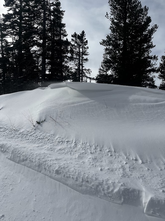
Moderate blowing snow from west winds and recent snow decreasing over the day. High freezing levels were forecasted, but no thaw on snow surfaces above 8500' today. A look at the temperatures at Sesmame Plot (9k) confirms we were below freezing all day today. -EP
Snowpack
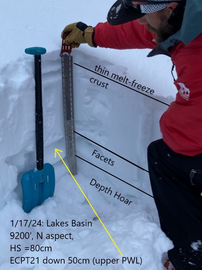
BTL: HS ~2-3ft. 4" of new low-density snow over a thin melt-freeze crust. Persistent weak layers were 1-2ft below the snow surface. ECTP 21 down 50cm on a North aspect at 9200' with 25 degree slope and HS=80cm.
NTL: HS ~ 2- 5 ft. 7" of wind-pressed snow from past 24 hours. Ski penetration 1" to the top of ankle. Boot penetration ranged from 3ft. to the middle of the calf (25cm). ECTP21 down 50cm at 9700' on a NNE aspect with HS 110cm and 32 degree slope. CT21SC down 110cm in DH on a N aspect, 10,400' HS 160cm and 25 degree slope.
Avalanche
- Size
- D2
- Count
- 2
- Aspect
- NE
- Trigger
- N
- Elevation
- 10800 ft