
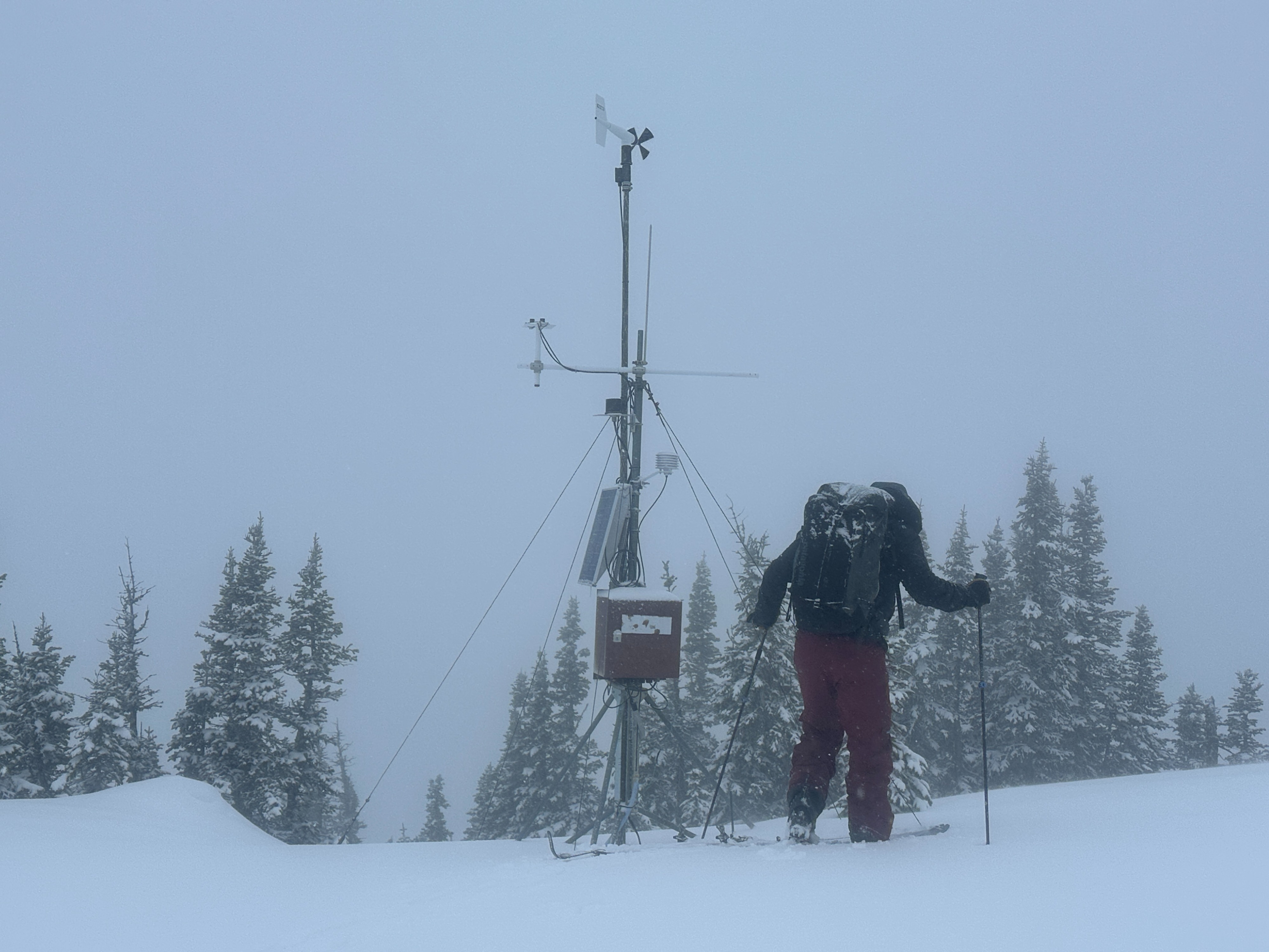
Quick report
• Objectives were to troubleshoot some communication problems on both weather stations, look for recent avalanche activity, and observe general snowpack conditions. • One destructive size 1.5 of 5 (D1.5) soft slab avalanche that ran sometime earlier this week and before last night’s re-freeze. This was in Test Slope 3 at about 5700’ on an easterly aspect. Debris terminated well above the rail. • We could not find any evidence of avalanching in Shed 5 or Shed 7. • Visibility of distant terrain was poor and limited our ability to find recent avalanches. • Very thin snow coverage until about 5000’. Snow depths on the Canyon floor range from 0-10”. • 1-3” of fresh snow on the surface covered a supportable (in skis) melt-freeze crust that extended up to 7000’. This crust gradually thinned as we climbed. • Snow depths above 6000’ ranged from 12-50”. • Moderate to strong SW winds were loading leeward slopes above 6500’. Fresh wind slabs, 4-8” thick, were confined to terrain just below ridgelines by midday. They were unreactive to ski cuts. • Precipitation totals over the past 4 days ranged from 5.00-6.00” of water on the canyon floor. • Bear Creek was running high and muddy like it does during spring runoff in May/June.
Weather
- Cloud Cover
- overcast
- Wind Loading
- light
- Recent Snowfall
- 4
- Snow Avail For Transport
- small smounts
• Overrunning conditions in the AM with cold (single digit °F temps) air pooled on the Canyon floor that extended up to about 5000’ with light winds from the east. As we climbed above 5000’ temperatures warmed rapidly to the mid-20s °F and winds clocked to the SW. • By afternoon the Arctic air was scouring out with temps rising to the teens/20s °F on the Canyon floor and the mid-30s °F up at 6400’. • Light snowfall in the morning gave way to freezing rain in the afternoon with multiple drivers pulled over scraping their windshields.