
Quick report
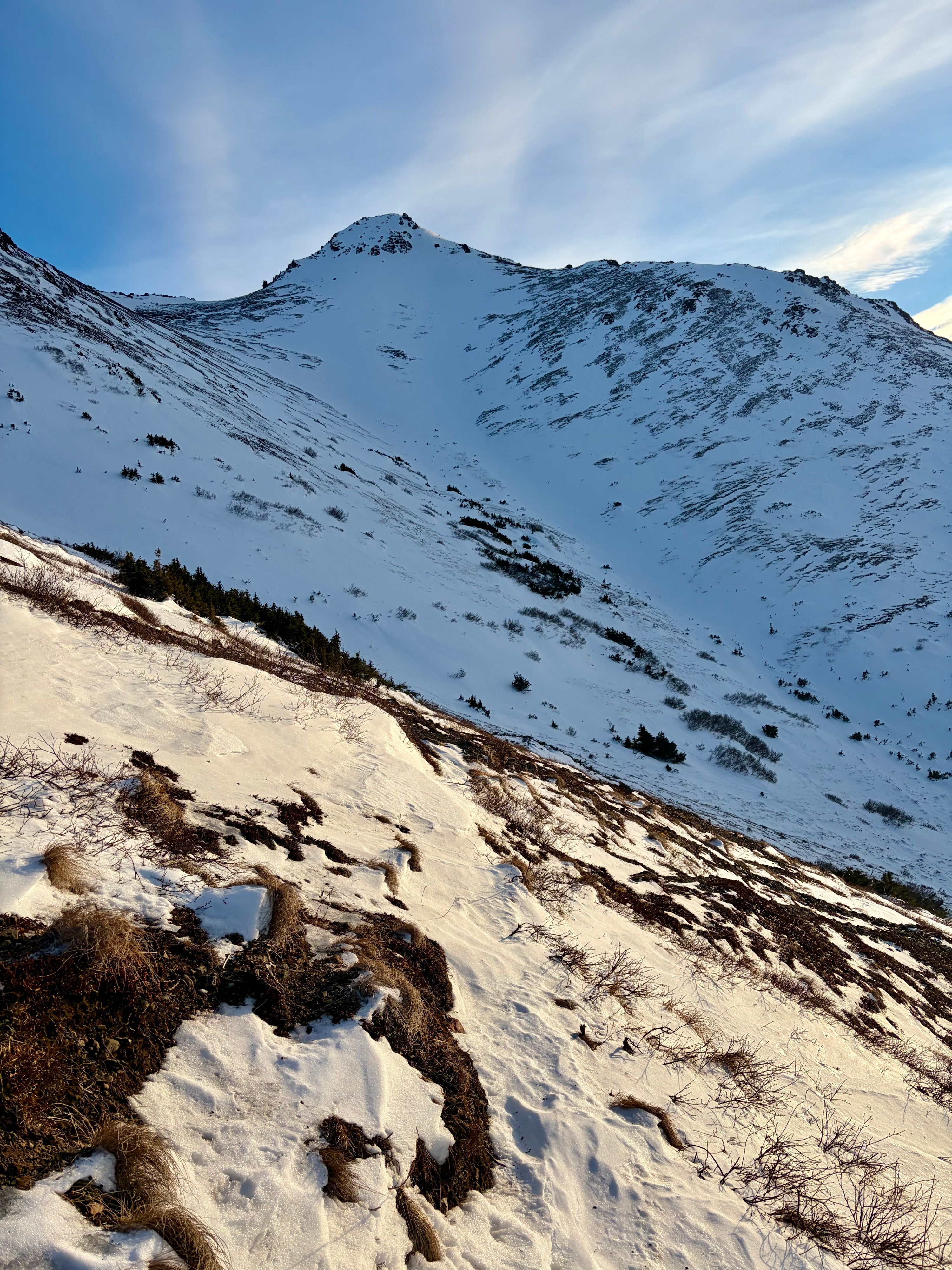
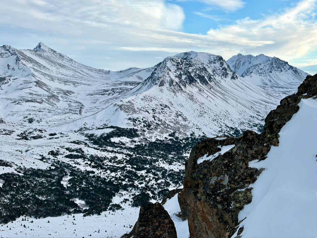
The Peak 3 weather station recorded peak gusts of 93 mph during the Thursday–Friday snow and wind loading event, and the snowpack looks like it just survived prolonged, strong winds. Much of the landscape has been stripped to bare ground, with severely wind-loaded snow confined to gullies, high alpine bowls, and convexities.
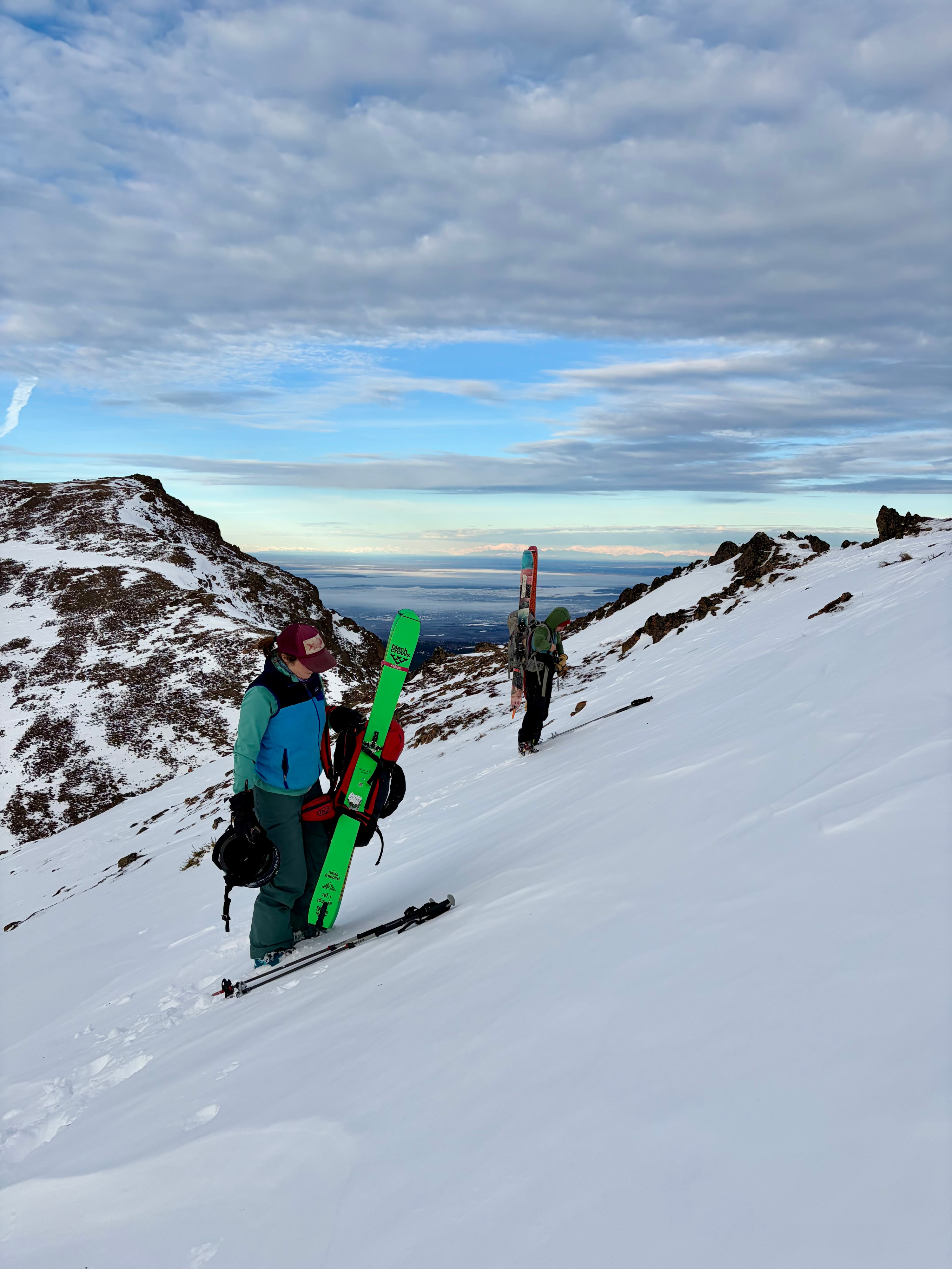
We traveled on low-angle terrain and bare ground with minimal overhead hazard to limit exposure, given recent remotely triggered avalanche activity in the area. We did not experience collapsing or whumpfing, but it is important to note that other groups observed these red flags in the adjacent valley on the same day.
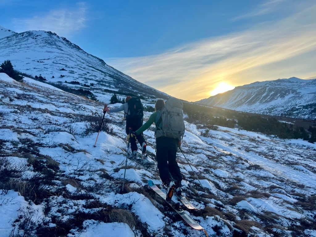
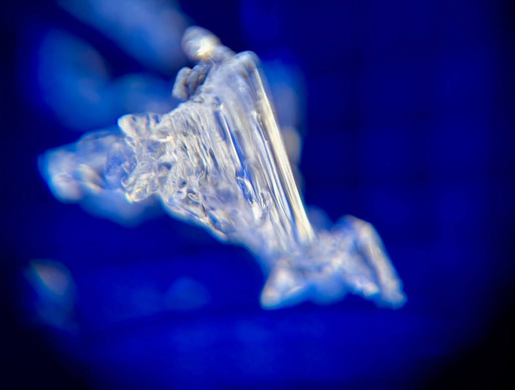
A surface crust was present up to 2,600’, which we will continue to monitor as it becomes buried and facets develop around it. Temperatures during our tour exceeded 40°F, and we observed moist facets at the base of the snowpack.
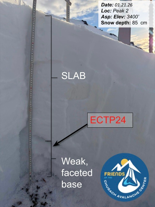
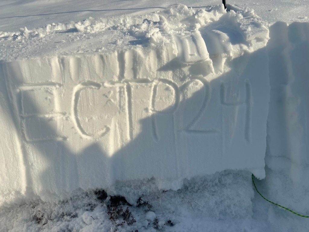
We dug three snowpits at higher elevations to assess snowpack structure. In all cases, we found a stout, pencil-hard wind slab over fist-hard facets. Although loading events have passed, the poor structure of firm, heavy, snow over weak snow persists throughout the park. Two pits produced ECTP results (ECTP24 and ECTP23) on basal facets. Several recent natural avalanches in the South Fork of Eagle River have failed on this layer. At lower elevations, we remain concerned about facets surrounding the 11/29/25 melt-freeze crust, as well as additional near-surface facet layers that formed prior to the December drought.
We experienced no cracking or collapsing on our field day. However, in the next valley over (Glen Alps Recreation Area) our other forecasting field team of the day did experience several large collapses when they left the established skin track.
Weather
- Air Temp
- 40
- Cloud Cover
- clear
- Wind Loading
- previous
- Rain Elevation
- 2600
- Recent Snowfall
- None
- Snow Avail For Transport
- none
Clear skies, temps in the low forties F, no wind