
Quick report
- Collapsing
- specific
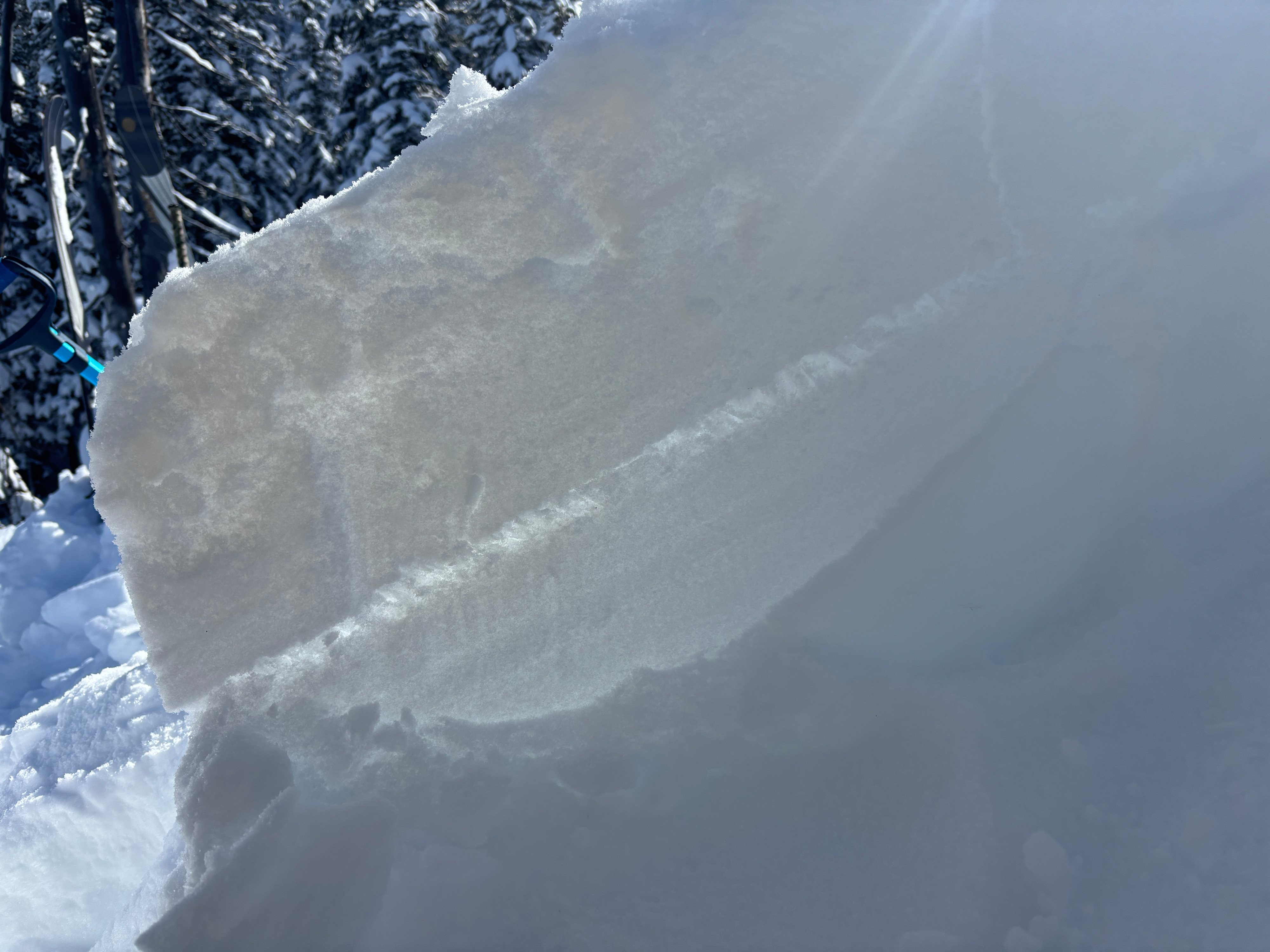
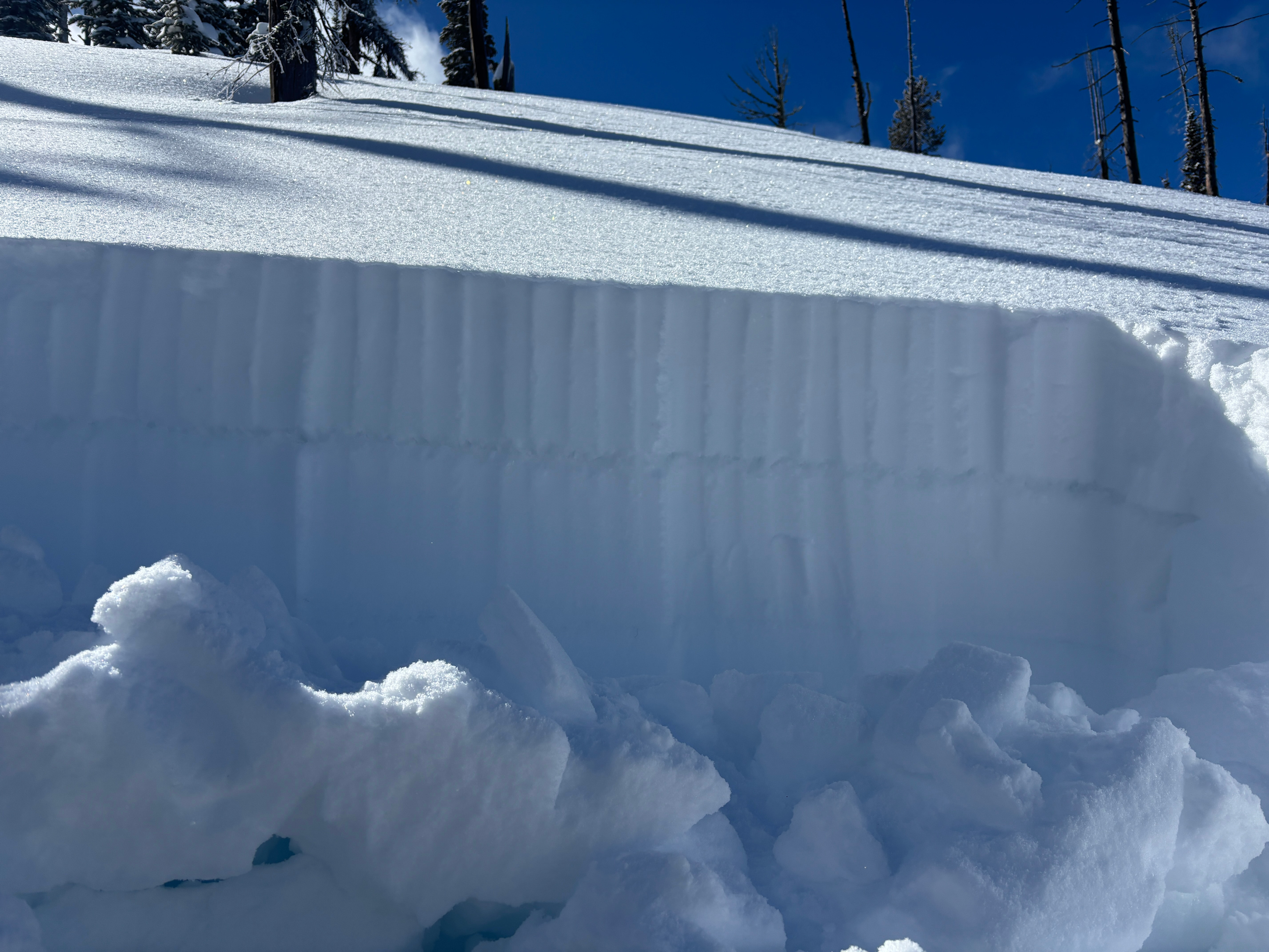
Quick walk behind Lost Trail on the drive to Missoula. Once I left the ski area I experienced a collapse and dug on a north aspect at 8000'. I found very well preserved surface hoar and repeateable ECTP1 10 inches down on the Feb 14th buried surface hoar. For fun, I created larger columns 180cm wide and still had full propagation on the first tap from the wrist. While specific in distribution, this problem is very reactive.
Walked onto open north facing slope at 8000' and created a rolling collapse that affected the entire 200'x200' area.Weather
- Air Temp
- 18
- Cloud Cover
- scattered
- Wind Loading
- none
- Recent Snowfall
- 10 inches since Feb 14th
- Snow Avail For Transport
- moderate amounts
Cool clear day with minimal wind.
Avalanche
No fresh avalanches observed. On the drive to Missoula I glassed the central Bitterroot and found multiple D1.5 avalanches from previous cornice failure.